

From Davis Mountains State Park in western Texas we headed south to Lajitas, TX, a small “town” tucked between Big Bend Ranch State Park and Big Bend National Park. Along the way we saw a random sign that said “Lincoln’s Profile”. As we drove by we looked around and finally saw it!

One interesting thing we noticed while driving through Texas, instead of rest stops along the highways there were picnic areas. The highways we were driving along were mainly two and four lane highways and these picnic areas were just small areas to pull off for a quick rest. There isn’t a lot out in western Texas so these stood out and we made use of a couple along the way.


It was a beautiful drive with the final hour or so meandering right along the Rio Grande.

“Big Bend refers to the great southwest Texas U-turn the Rio Grande makes here – defining the park boundary for 118 miles.” – National Park Service

“In Big Bend National Park roads end at the Rio Grande, the boundary between the United States and Mexico. But far more than two nations meet here. Three states abut at the river: Texas in the United States and Coahuila and Chihuahua in Mexico.” – National Park Service


We spent three nights in the area – two at the Maverick Ranch RV park in Lajitas and one night in a campground within the National Park.

This park was a bit more crowded than the state parks where we had been staying, and more expensive at about $60.00 per night. But folks were friendly, kept their distance when talking to one another, and masks were required in any of their facilities. So, overall, a good place to stay.

After spending a day driving through Big Bend Ranch State Park on our way in to Lajitas, we spent a day walking around exploring the town, where we may or may not have accidentally walked into Mexico. We’re not really sure but at some point we passed this sign (which didn’t scare us away), crossed a bridge over a small body of water and ended up on the other side with no body else around.

Lajitas was a cute little western town with one of its’ claims to fame being the mayor of Lajitas – Clay Henry.


And, the sunsets were spectacular out here.

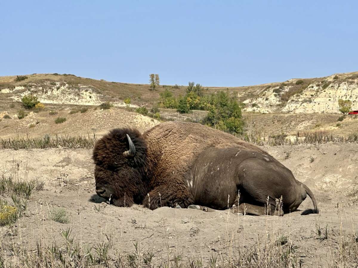
As we headed into Big Bend National Park we couldn’t help but notice that so much of the landscape looks just like the Mojave desert. We often say that we travel to see and experience new things so being in a place that was just like home was, well, a bit anticlimactic.


This park was huge! And, if you are interested in coming here plan to drive for a few hours to get anywhere. We drove for about an hour until we reached our first Visitor Center, there are a total of five within the park, Panther Junction. This location and the Rio Grande Village have a gas station next to it with both regular and diesel gas.

After getting a stamp in our National Park passport book (actually, they were handing out pre-stamped stickers and had moved the info station with Park Rangers and their store out front due to Covid-19), we continued east to our campground on the other side of the park.
Big Bend offers quite a few things to do – backpacking the Chisos in the higher elevations, exploring the Rio Grande by raft or boat (requires a permit), hiking any of the many, many trails, and Birding – “the park is a birder’s paradise – over 450 bird species have been seen here. The larger migration occurs in spring.” -National Park Service
Speaking of birds, we saw this Greater Roadrunner at the Rio Grande Village Visitor Center. The ranger told me she hangs out here and is not too afraid of people. She just walked on by and was kind enough to slow down for me to take her picture.

“Running at speeds up to 20 mph (32 kph), the roadrunner pursues lizards and small rattlesnakes. It pecks them to death with stunning blows of its beak. The roadrunner gets much of its required moisture from the body fluids of its prey.” – National Park Service

I booked our campground site without doing enough research. There are several locations where you can camp throughout the park, however, if you plan to camp in an RV the only two places are down by the Rio Grande Village – 1) the dry campground (no water or electricity) run by the National Park and, 2) the full hook up site run by an outside company. We chose the full hook ups (water, electric and sewer) but wish we had chosen the dry campground. The full hook up area was really just a parking lot while the dry campground was far more scenic and peaceful.


Despite being a very windy and cold day, we decided to hike the nature trail. It was an easy hike and was listed as a hike to do either in the morning or near sunset if you want to see wildlife and birds.

The trail crosses a few bridges. We met a man who had been by in the morning and he said he saw a couple of beavers building a dam out here.


During non-Covid times small boats within the park take visitors across the river into one of the towns found along the Rio Grande on the Mexican side. Visitors will need to provide their passports when they stepped off the boat. With Covid restrictions in place many families come across the border to set up small stores, or tiendas, along the hiking trails to sell their wares.

It was so windy that this was the best “selfie” we were able to take that day.

All in all we are happy that we came to see this park because it has been on our bucket list for some time.
Wow, it’s so interesting to see all the places you’ve traveled. I’m learning a lot and if I really let my imagination take over, I feel like I’m traveling too. It’s definitely what I’m looking forward to this year. I didn’t realize how tiny Rio Grande was. Lol. I love how you pointed out where Mexico and US was. I would have been clueless. I’m excited for you to see your parents soon and glad to hear you are staying safe. Please continue posting.
Wow. Very interesting. I always imagined the Rio Grande to be a huge, wide river all along its path. Glad to see Trump didn’t build his “wall” here. Trust those with a sense of humour to make a real goat the mayor! Ha ha
Thanks! Always interesting & great photos—I love Roadrunners so thanks for including that ( and the part about the tiendas on the trail and thanks for pointing out where Mexico on your photos—) Stay safe & adventurous!
Thanks for the update! Always interesting & great photos—I love Roadrunners so thanks for including that ( and the part about the tiendas on the trail and thanks for pointing out where Mexico on your photos—) Stay safe & adventurous!
Greetings from the Sin City!
Yes, interesting topography/photos as you traveled from Big Bend to Lajitas and finally to Rio Grande! Good to know your routes have not been affected by severe weather that was forecasted north of your trajectory.
Soon you will be in Florida to enjoy good times with your parents. Wish you loads of fun!