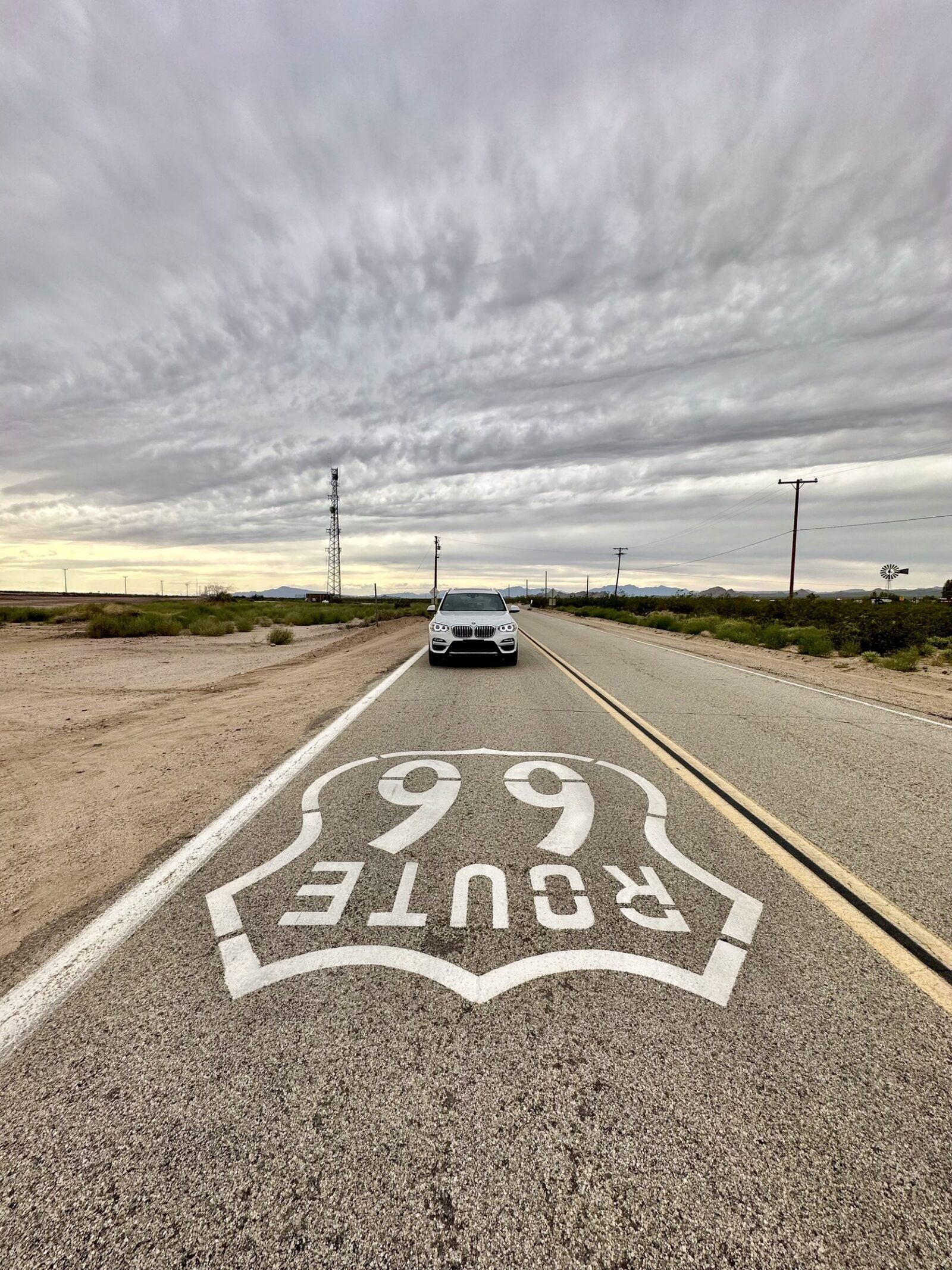
In the Fall of 2023 we took several day trips around the Mojave Desert near Las Vegas. One of our stops was to Goffs, CA, about two hours from Las Vegas. It is one of the designated stops in the Route 66 Passport Stamp Book (yes, we are suckers for all passport books). I wasn’t sure what to expect – an old ghost town? some old, rundown buildings? It turns out we found so much more out here.
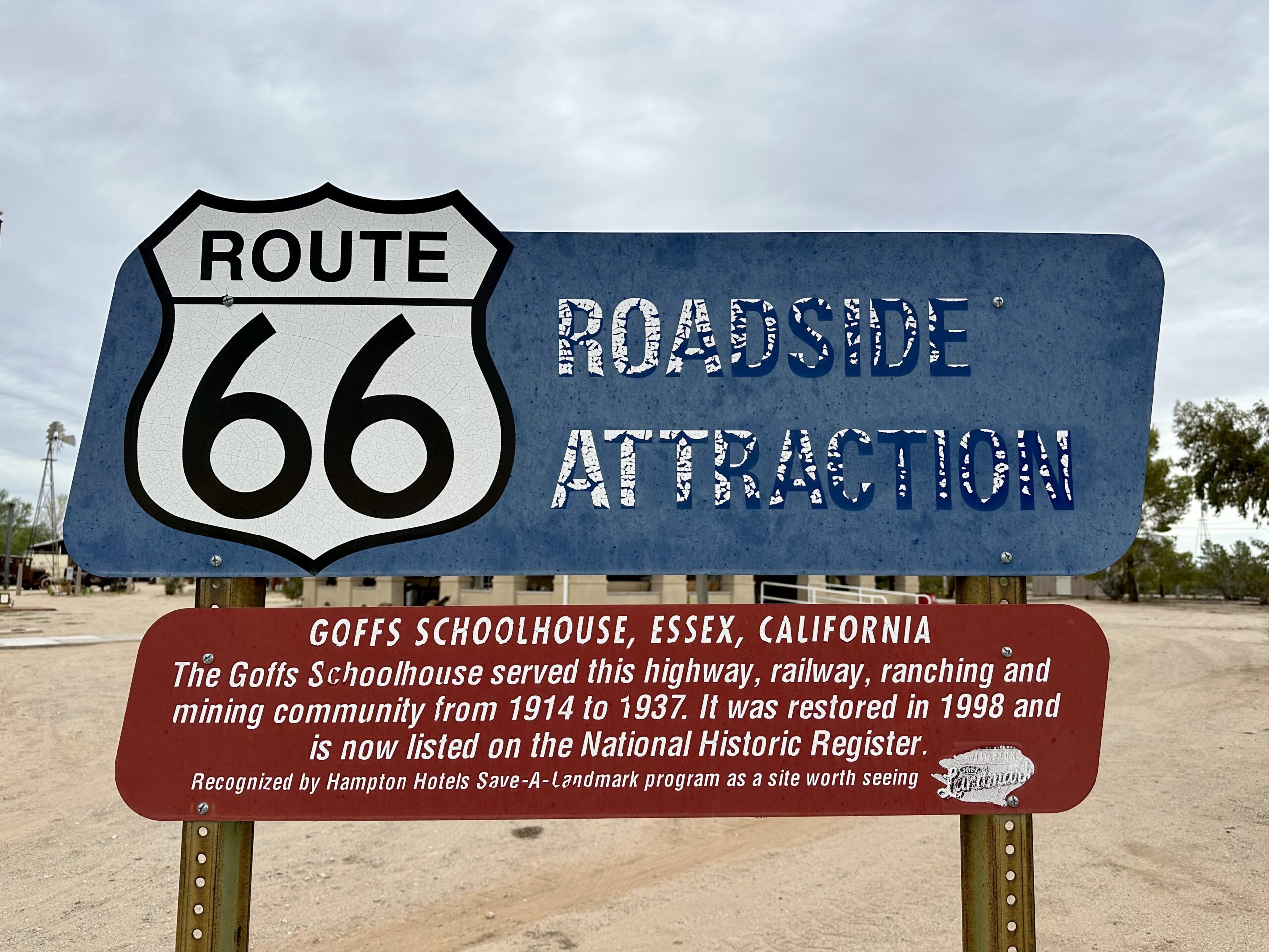
Unless otherwise noted, all of the information in this post comes from the Mojave Desert Heritage and Cultural Association (MDHCA) guide book that we picked up at the visitor center in the Schoolhouse.
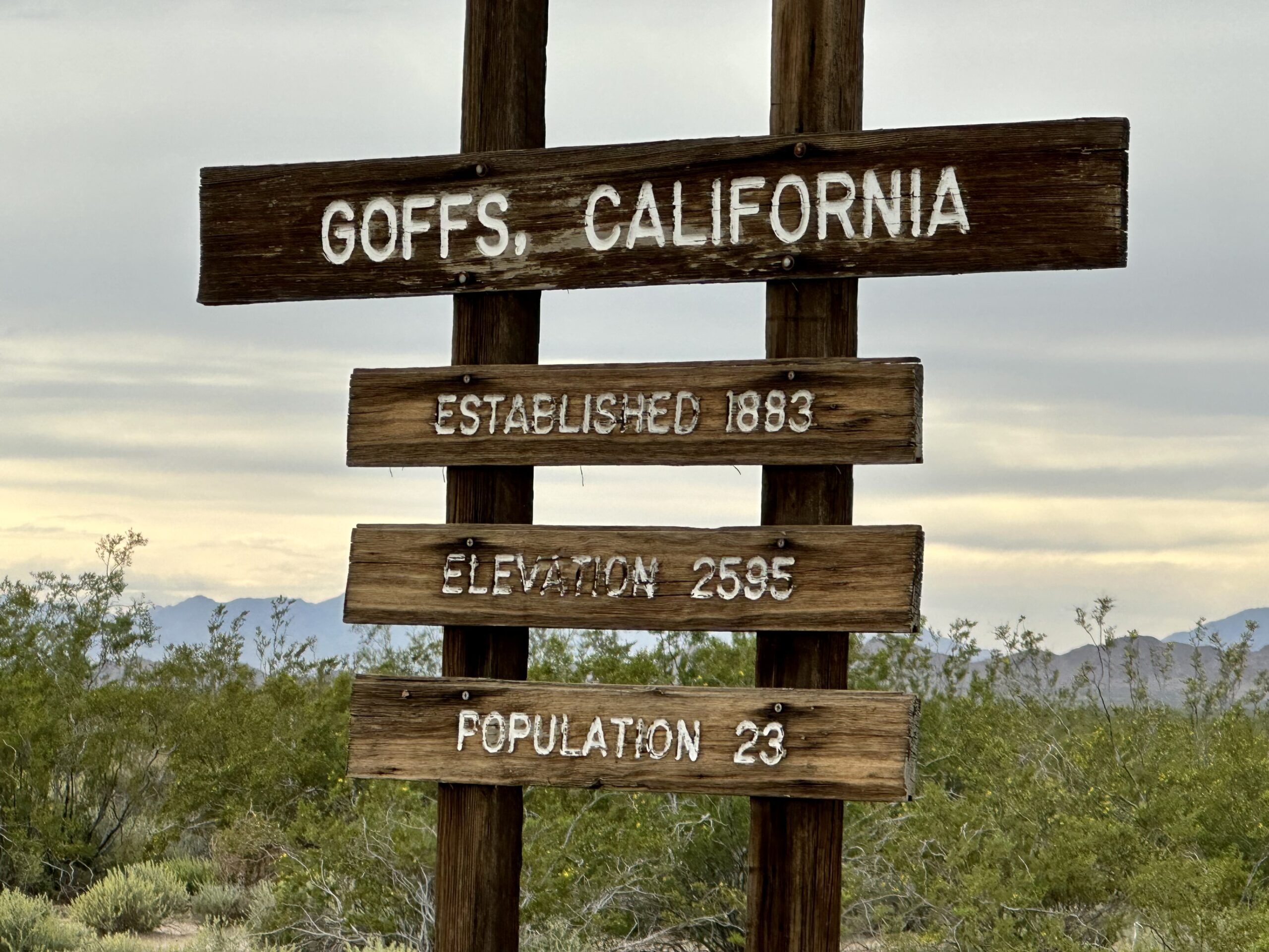
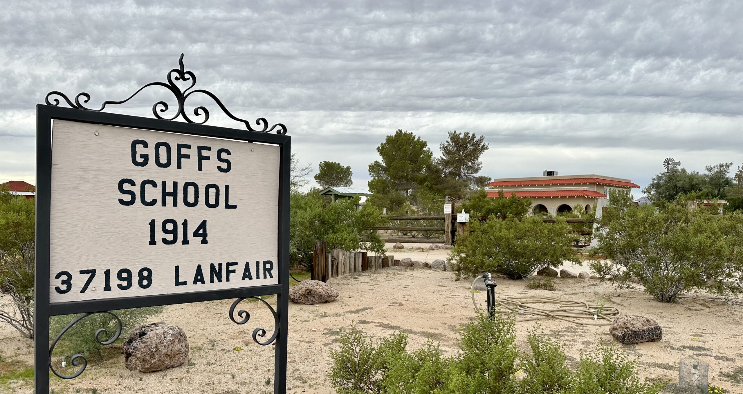
“Goffs was established on March 19, 1883…on the newly constructed Southern Pacific Railroad…By 1911 there were a sufficient number of Santa Fe employees with families living at Goffs to justify a school.”
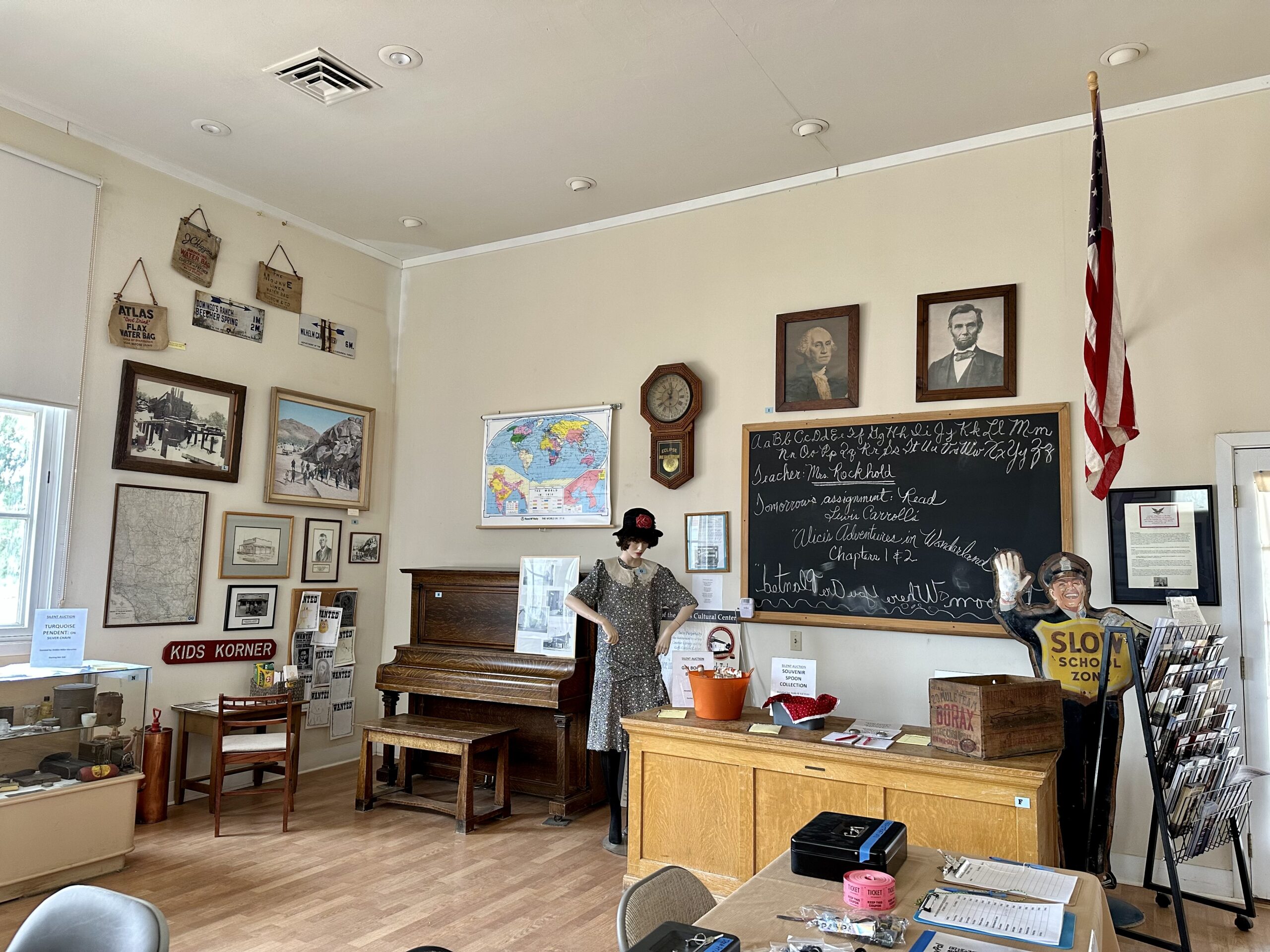
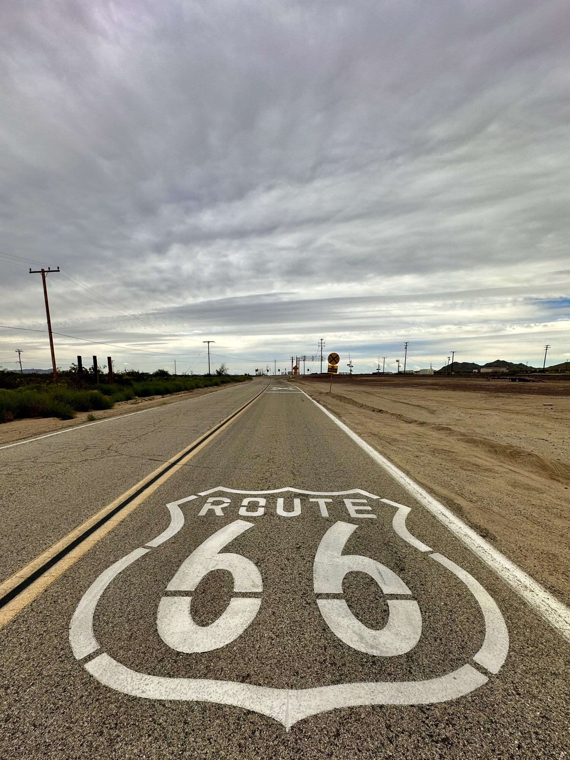
“The 800 square-foot class room was sufficient for dances, church services and community affairs of all kinds…Goffs prospered until late 1931 when U.S. Highway 66 was realigned six miles to the south, bypassing Goffs…The last classes were held in the Goffs School in the spring of 1937…By 1982 the building was so badly vandalized most of the east wall was gone and the ceiling over the class room was sagging several feet. “
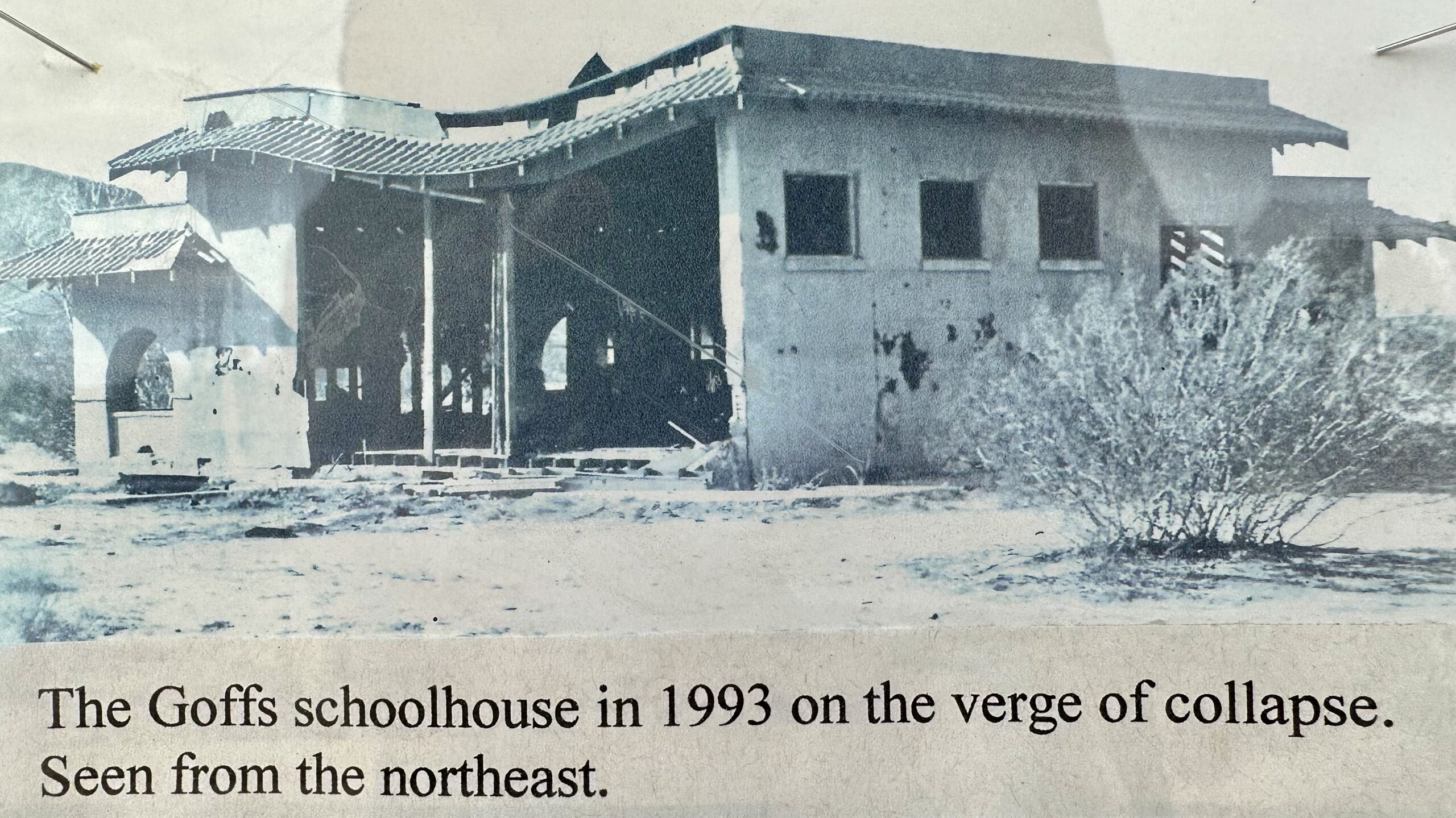
Beginning in 1993 a group was formed to restore the Goffs schoolhouse back to its original 1914 appearance. The Mojave Desert Heritage and Cultural Association (MDHCA) has not only restored the schoolhouse, they have also aquired 70 acres adjacent to the building and built what I can only describe as a really awesome outdoor museum collection, if you like old desert-y stuff. They have become a repository for mining equipment and other notable “quirky” items that ended up in the Mojave. We ended up spending several hours walking around and reading about everything there. It was cool to be able to see history up close and in its natural environment.
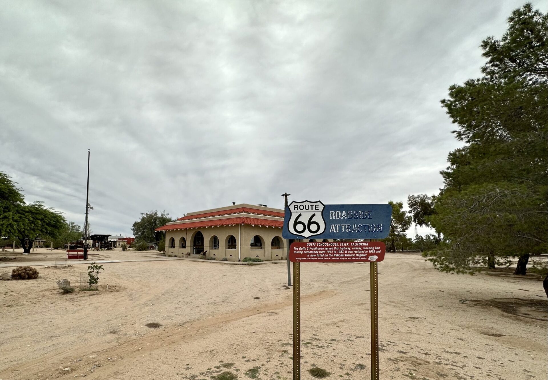
The restoration is very impressive, especially when you see the pictures of the nearly destroyed building.
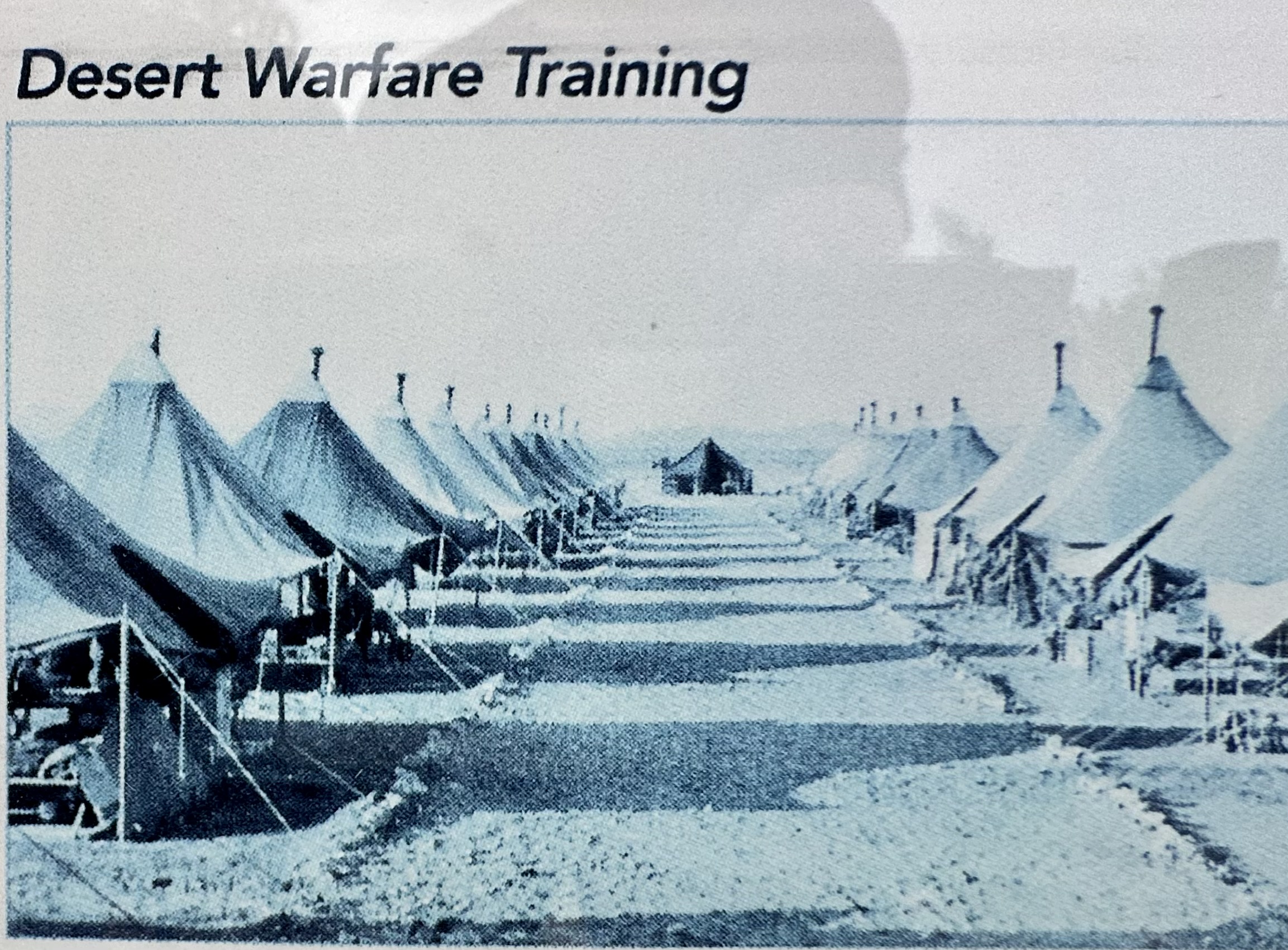
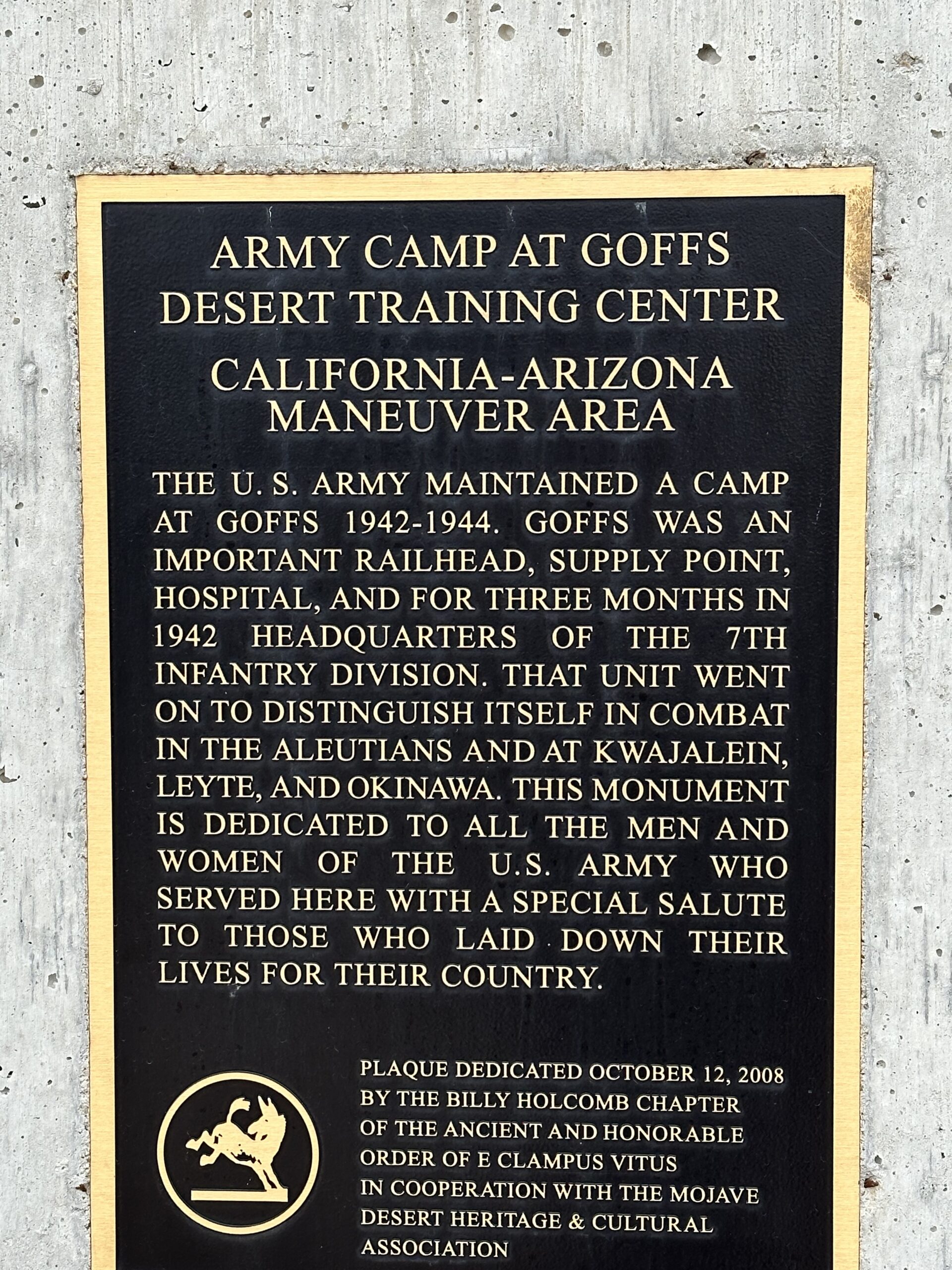
“…in 1942 the U.S. Army built Camp Goffs here. Camp Goffs mission, as part of the Desert Training Center, was to train troops to live and fight in a desert environment prior to deployment during World War II. More than 10,000 personnel were stationed here at times. At this time no businesses remained in Goffs, not even a service station, although the Schoolhouse itself was pressed into service as a cafe for the soldiers.”
The outdoor museum is a self-guided tour. The guidebook has information about each numbered artifact around the Schoolhouse. It is an easy walk on a well-maintained dirt trail. Here are some of the artifacts we saw while touring the grounds.
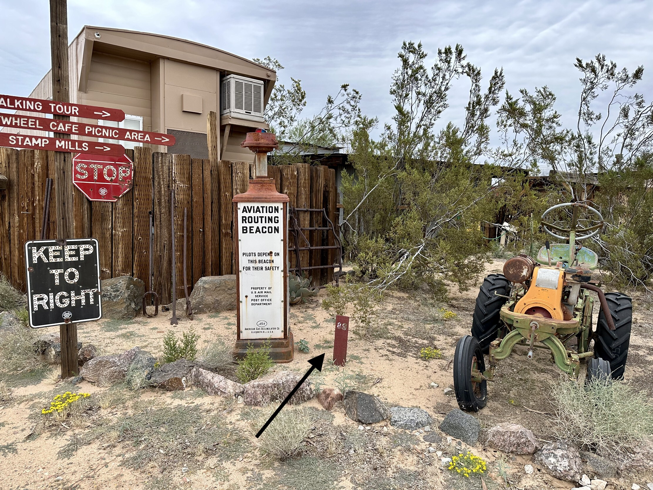
“Aviation Routing Beacon. This is the mounting for a beacon light of the type used in the American West in the late 1920s and 1930s to help aircraft find their way across the country.”
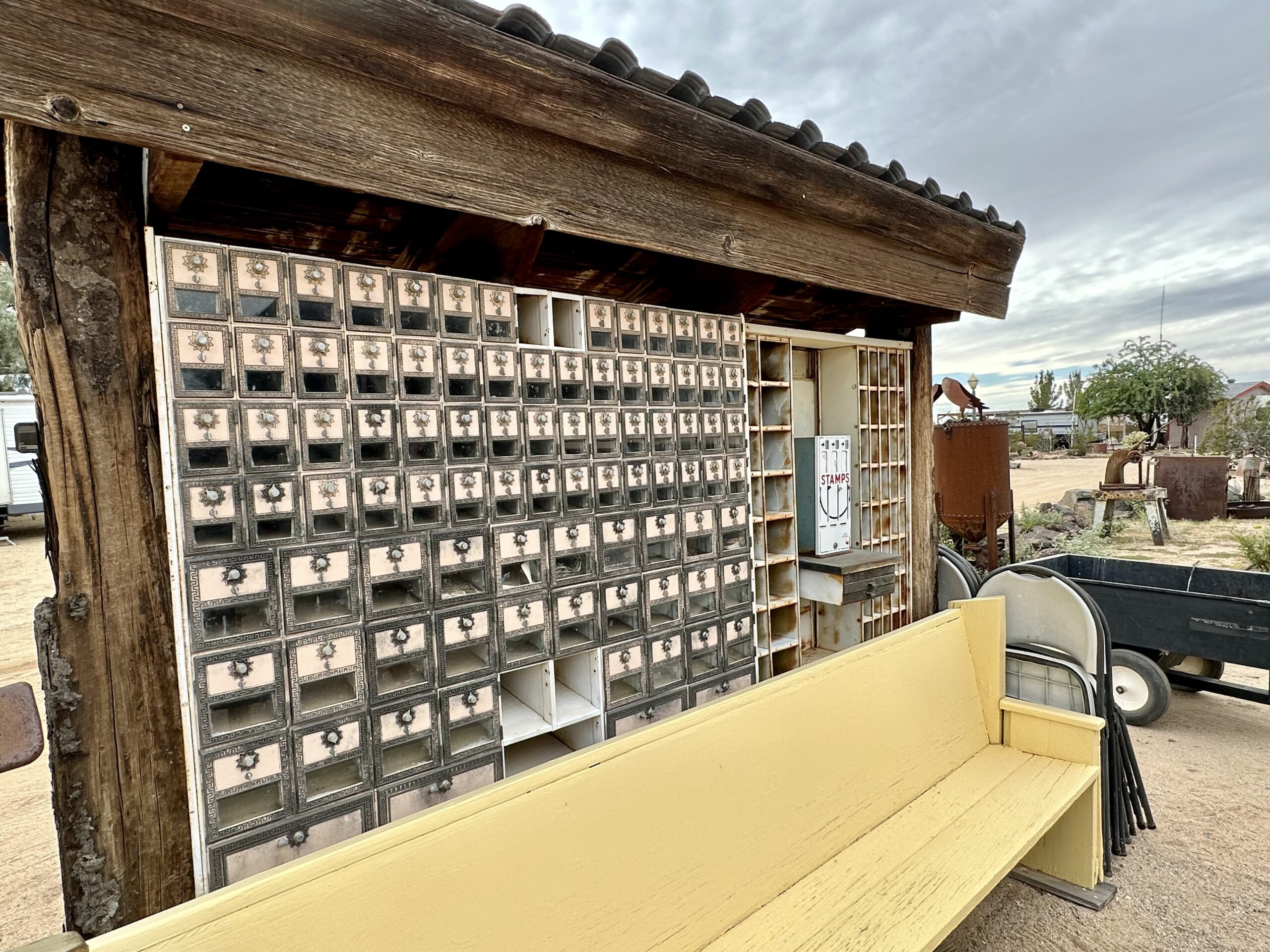
“Kelso Post Office. The hardware here is from the last post office in Kelso (CA), which closed in 1989.”
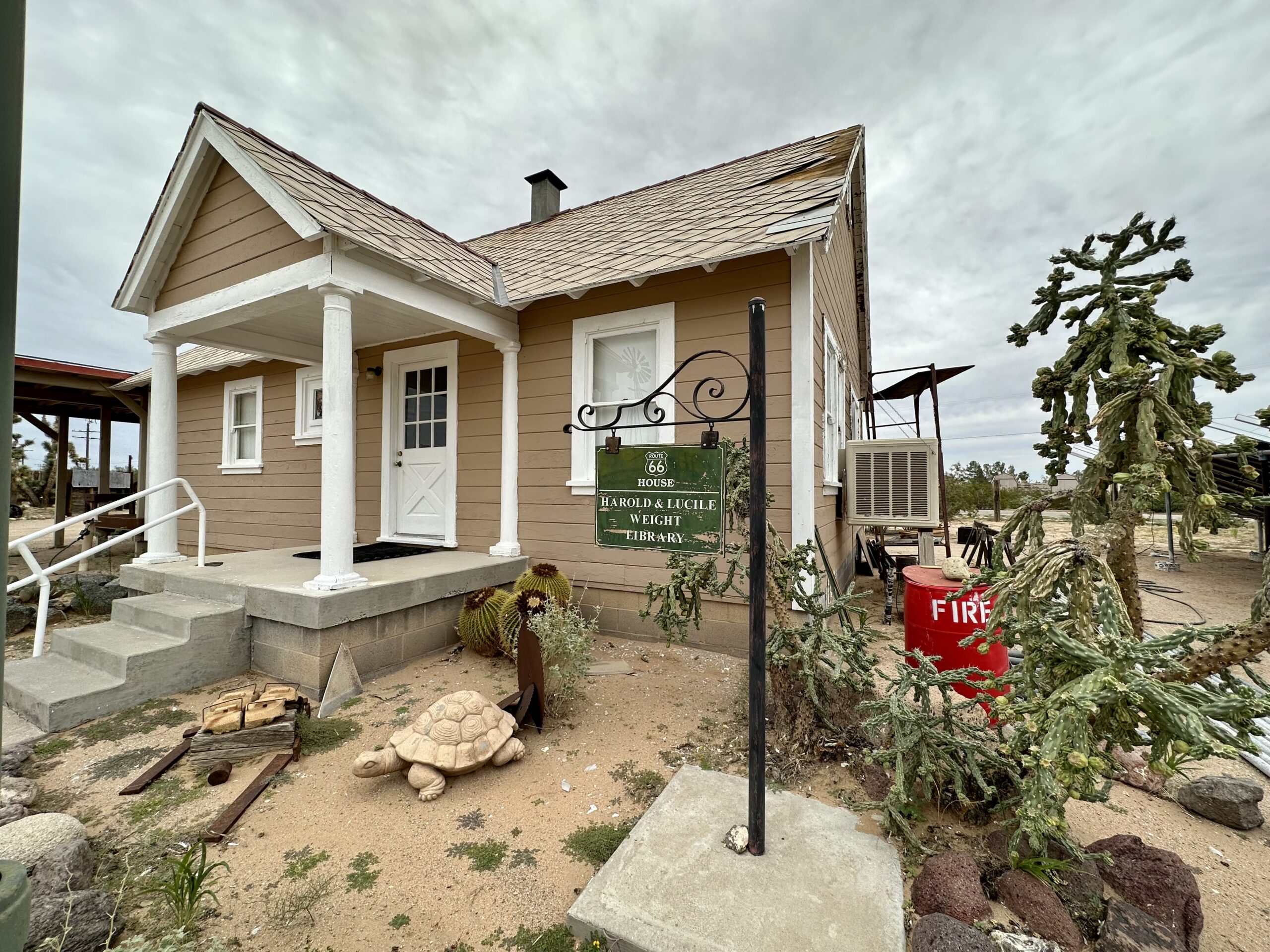
“Route 66 House. In 1927, this house was build under a contract for the California Division of Highways. The house was built in Goffs, across the tracks…For the first five years it was the residence of the Superintendent of Maintenance on U.S. Highway 66. But in 1931, Route 66 was realigned and sent over Mountain Springs Pass in order to shorten the drive from Barstow to Needles by nine miles…The highway maintenance yard was moved 18 miles to the southwest…and this house was moved to the new yard. In 1992 a new yard was under construction…(and this) building was moved here…following rehab, it has served as home for much of the 6,000-volume library.”
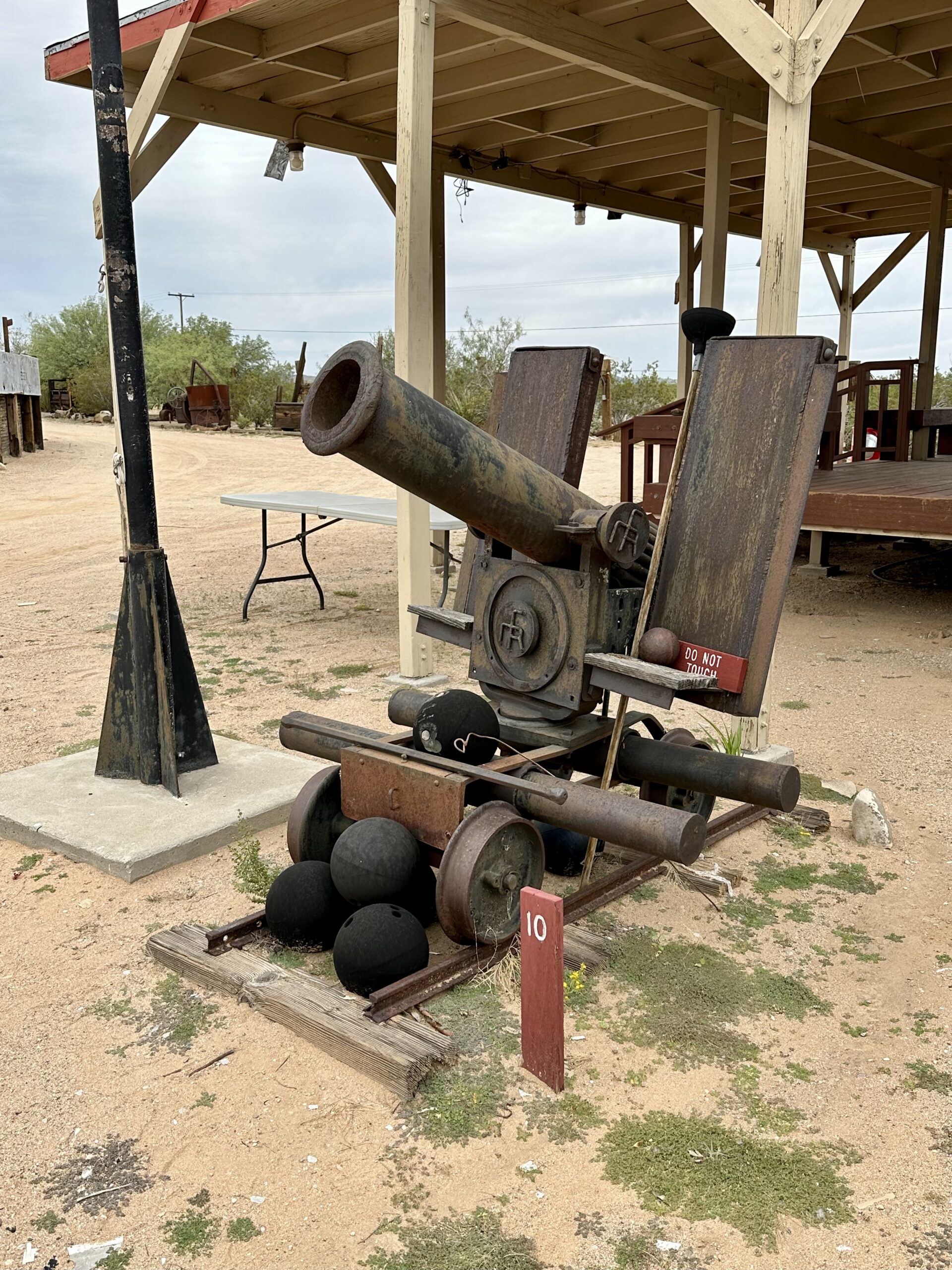
“Cannon. This is what is called at Goffs a “Miner’s Cannon.” According to local storytellers, the cannon was found deep in the tunnels of an East Mojave mine. It was said to have been used many years ago by miners to protect their mines from Indians and bandits. The cannon would be kept inside the mouth of the main tunnel, but off to one side. When threatened, the miners would roll the cannon out on rails usually used by ordinary ore cars, and have it ready for action in minutes. If you believe this story, we’ll tell you another.”
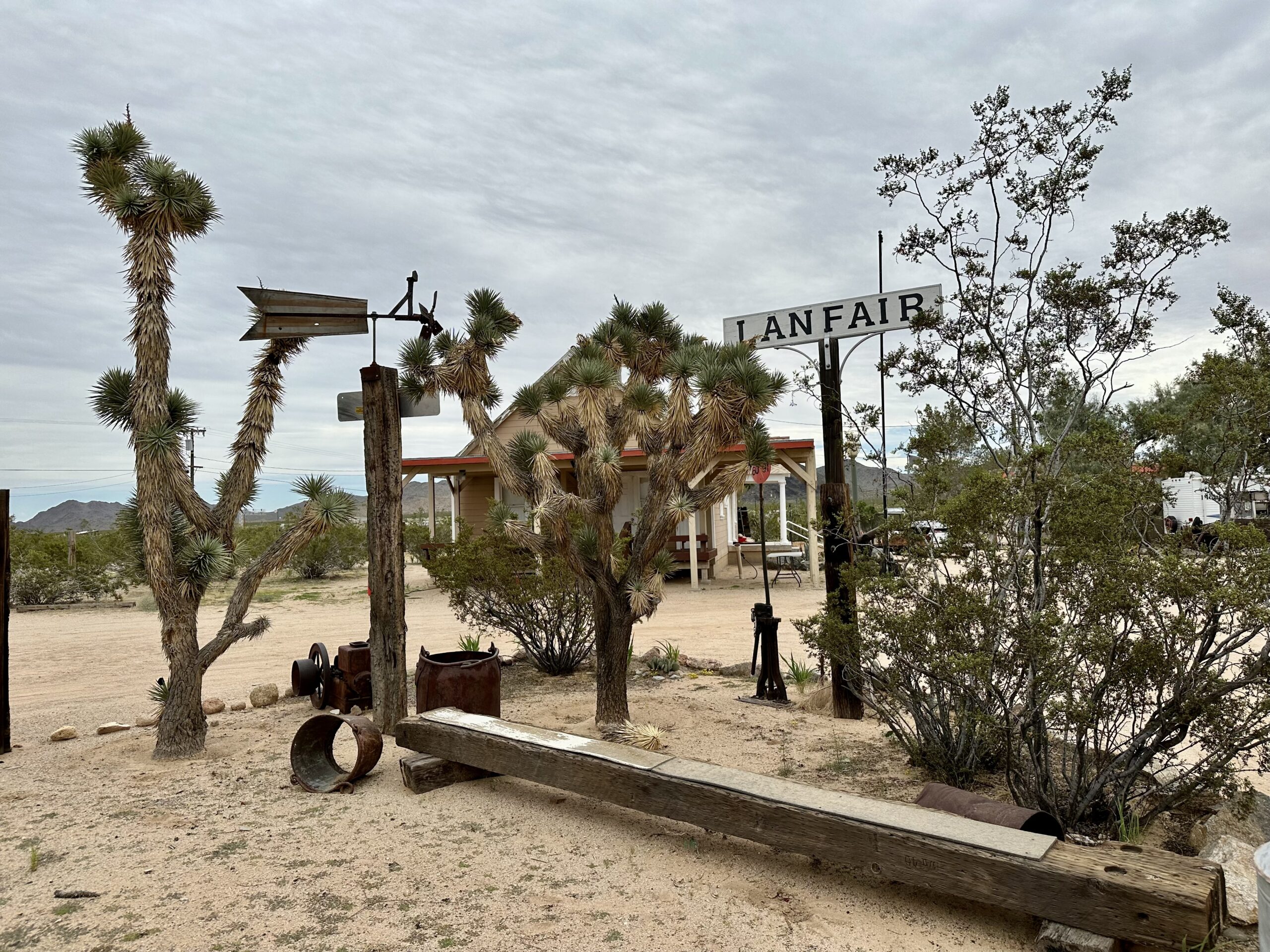
“Lanfair Sign, Railway Switch & Weather Vane. The Lanfair (CA) siding sign uses some of the original materials that once made up the sign at Lanfair on the California Eastern Railroad sixteen miles north of here…The old railway switch, sitting next to the Lanfair sign, is typical of the type used on western railroads around the turn of the last century. The old weather vane, fashioned from automobile parts, stood for many years at the Death Valley Mine located about 30 miles northwest of Goffs.”
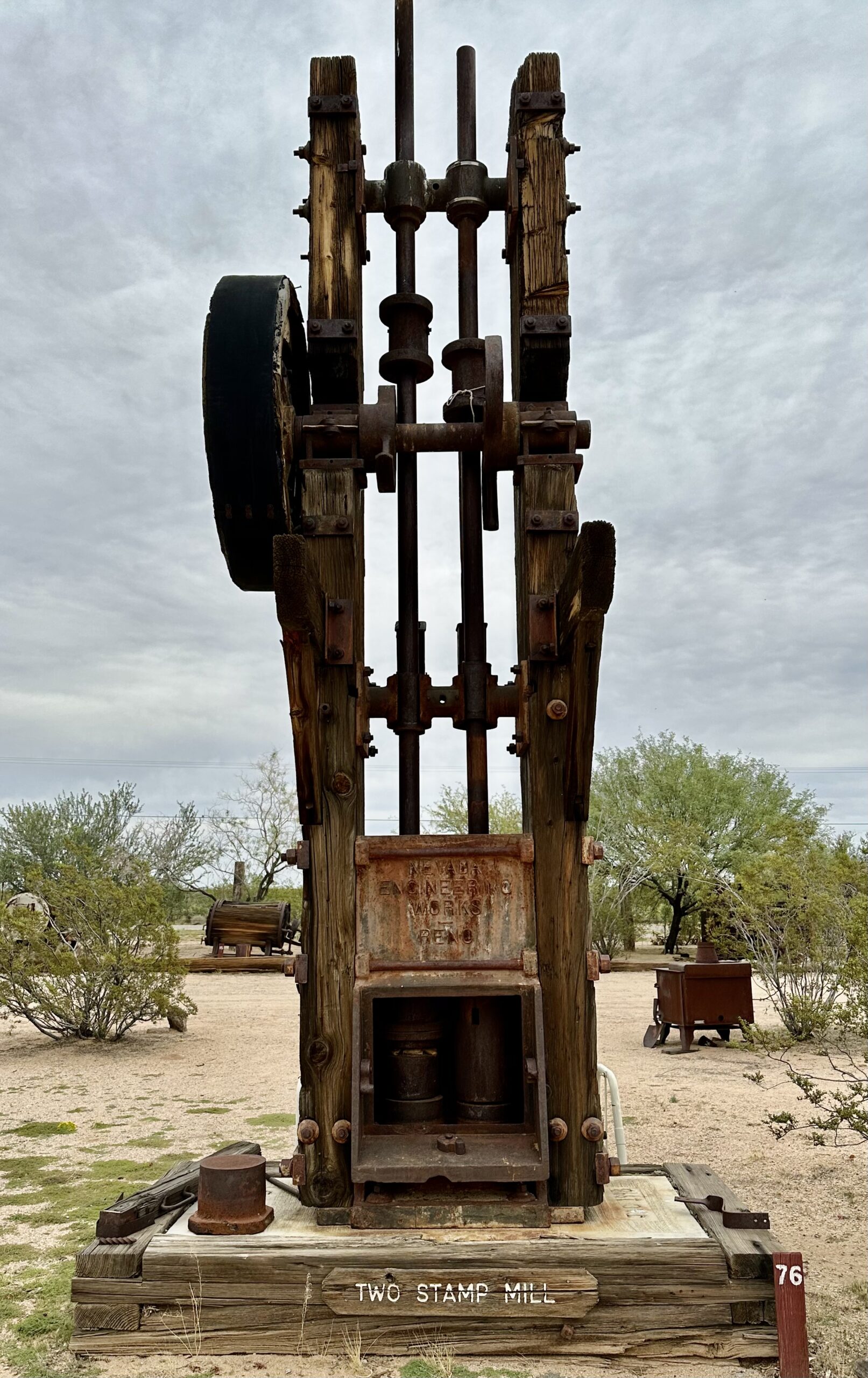
“Nevada Iron Works Two-Stamp Mill. This two-stamp mill, rare for it’s place of manufacture in Reno, spent its life above the 8,000-foot level on Mount Grant southeast of Yearington, Nevada.”
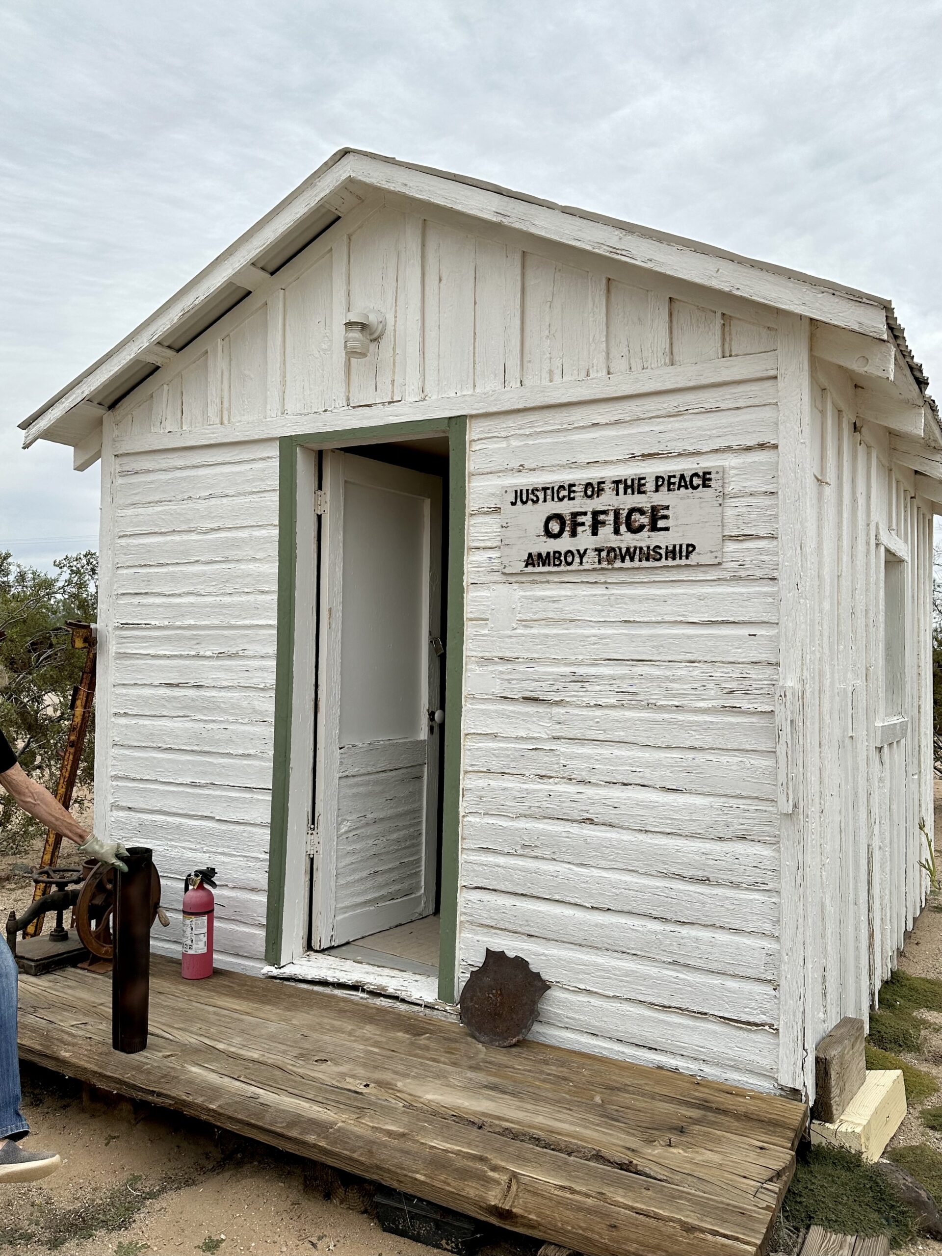
“Small Court House. This small building served as the justice court for the Amboy-Ludlow Judicial District in the 1940s, and perhaps even earlier…(it was) moved to the Goff Schoolhouse property from Danby in November 1996.”
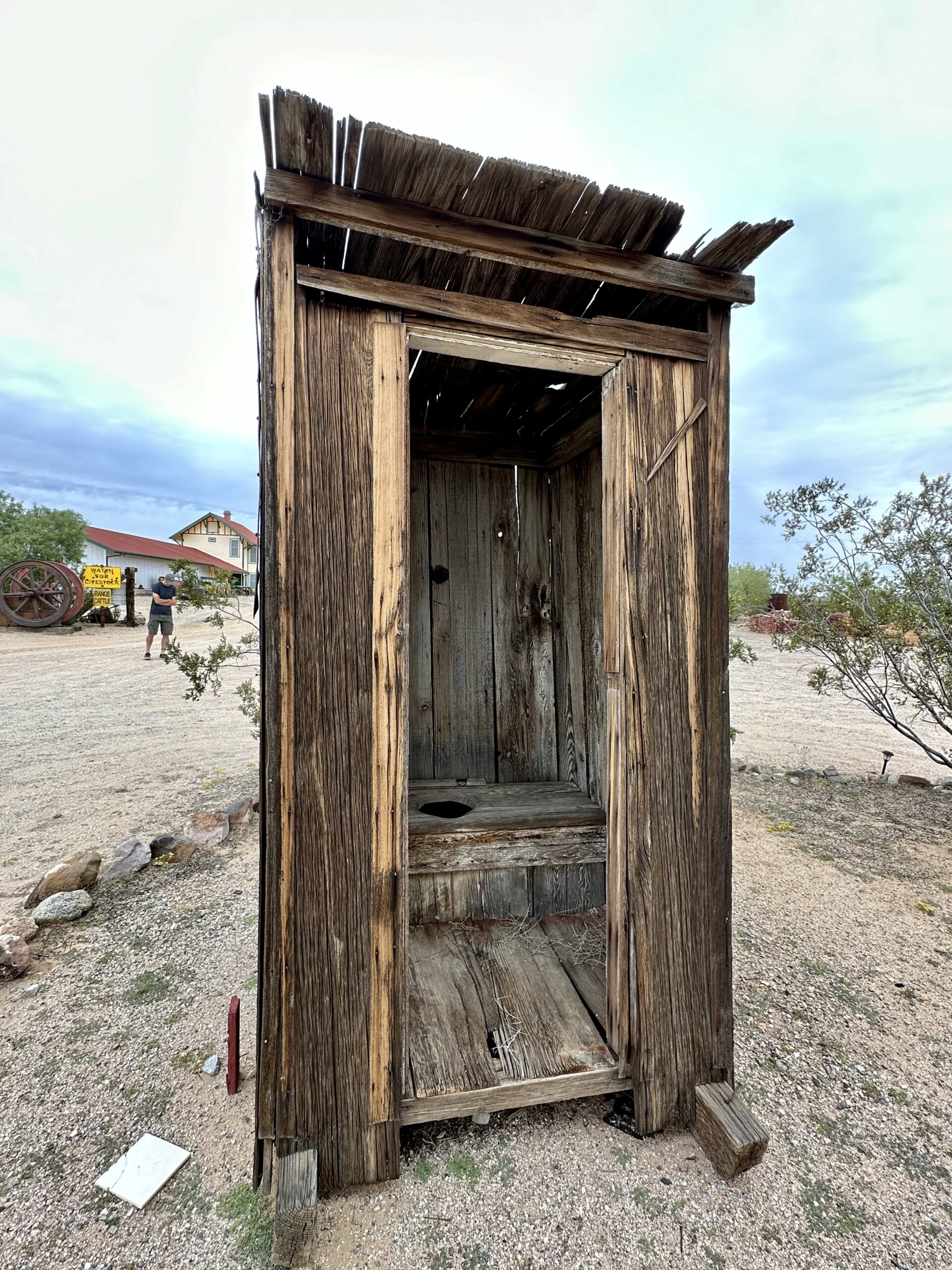
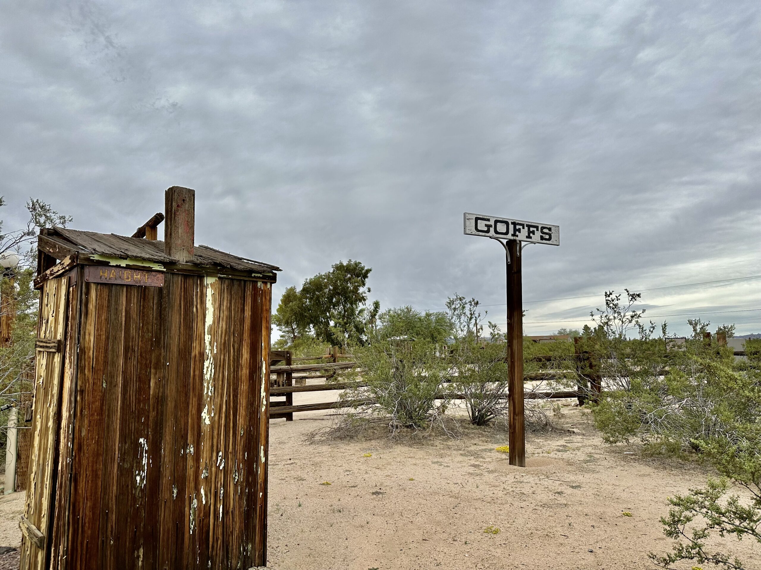
“Bagdad-Chase Outhouse. This classic wooden outhouse orginally came from the Bagdad-Chase Mine located south of Ludlow (CA). It never had a door – it was faced away from the crowds in a direction to provide the thoughtful miner with a pleasant view.”
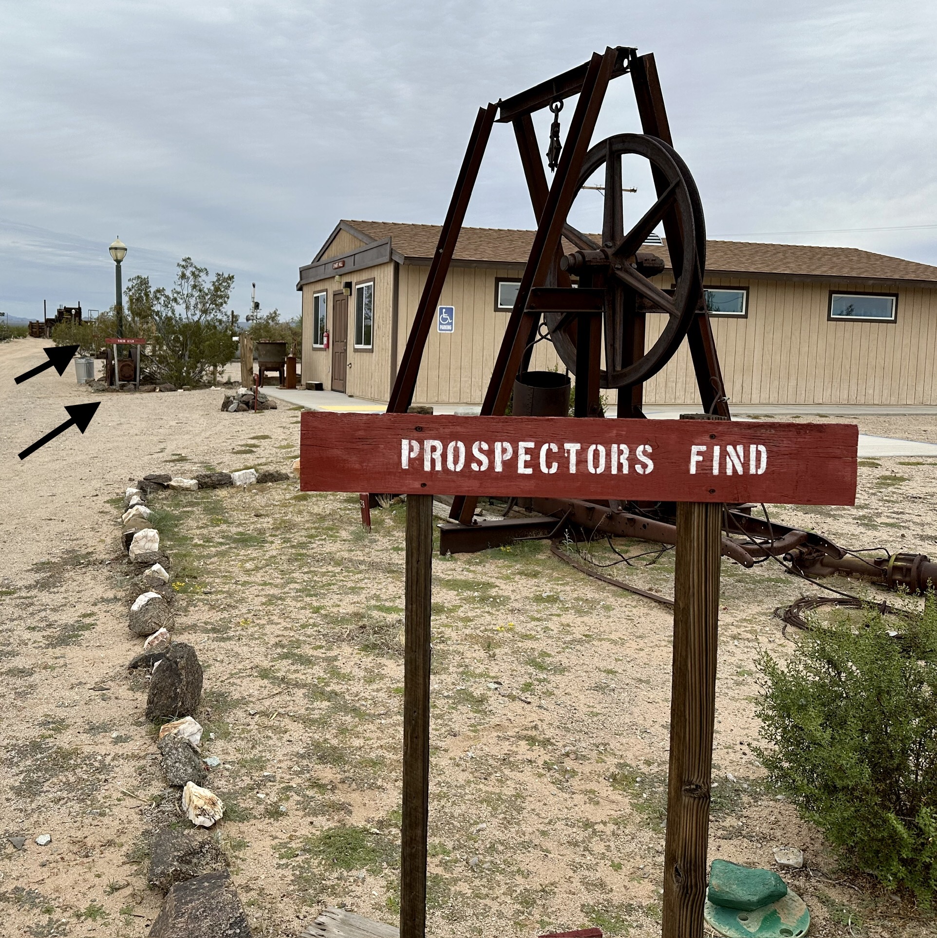
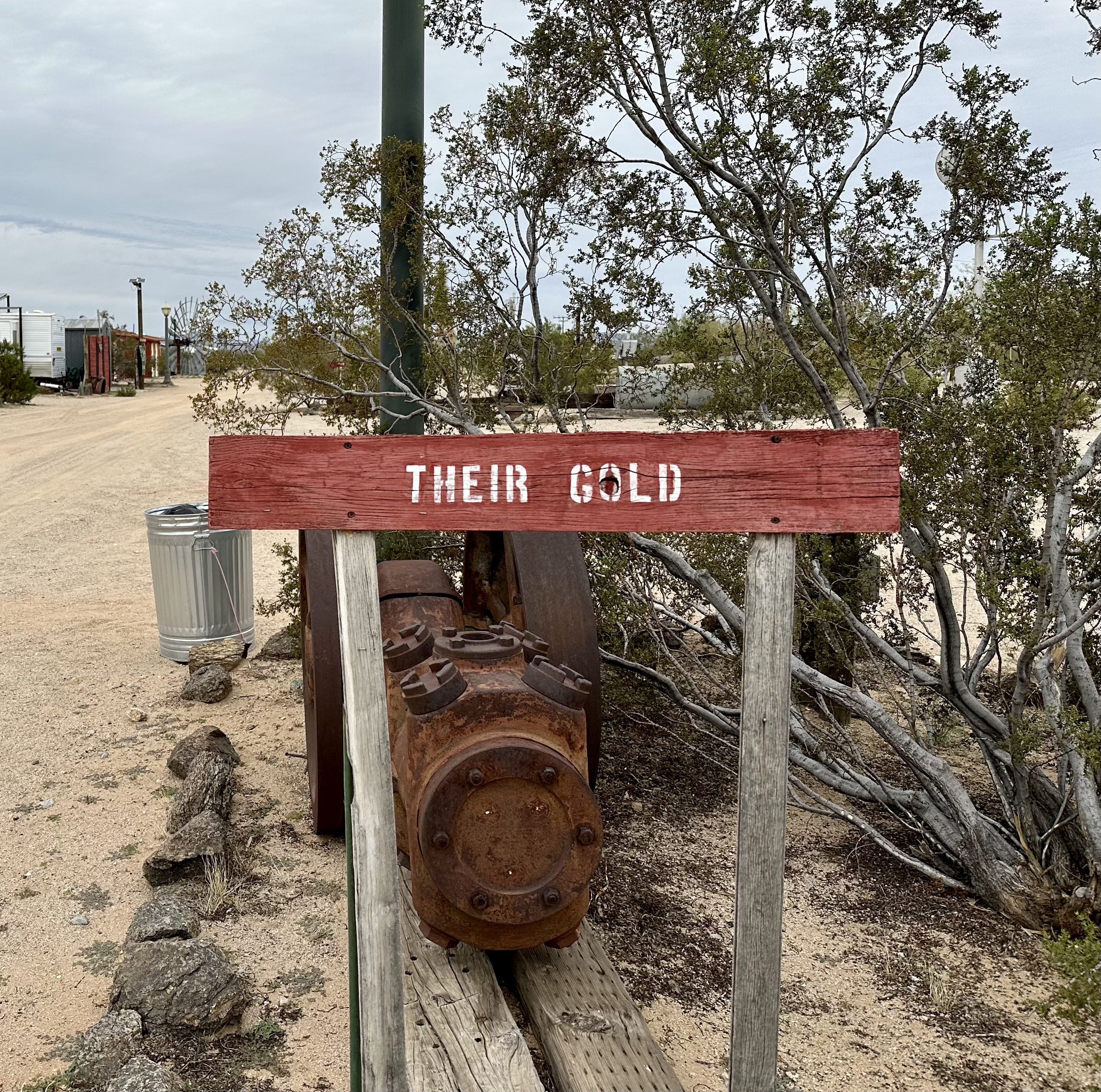
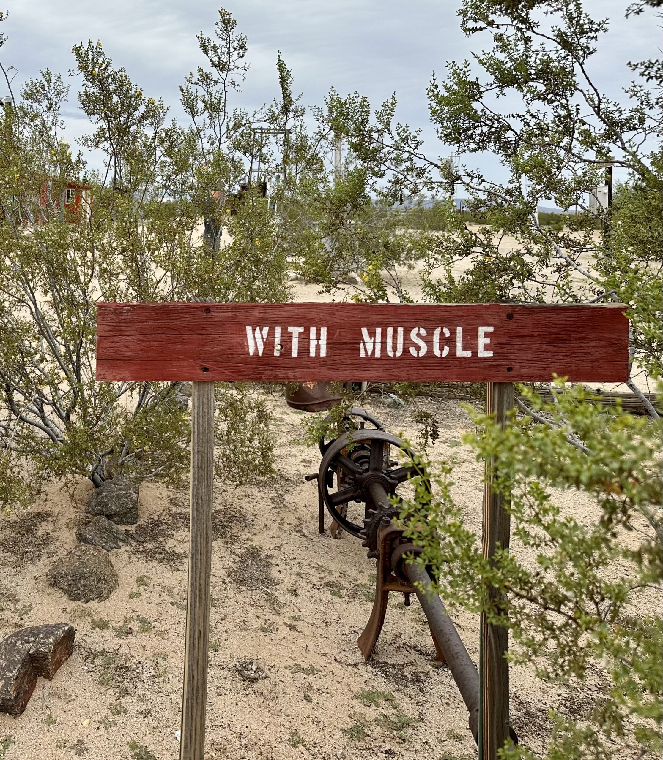
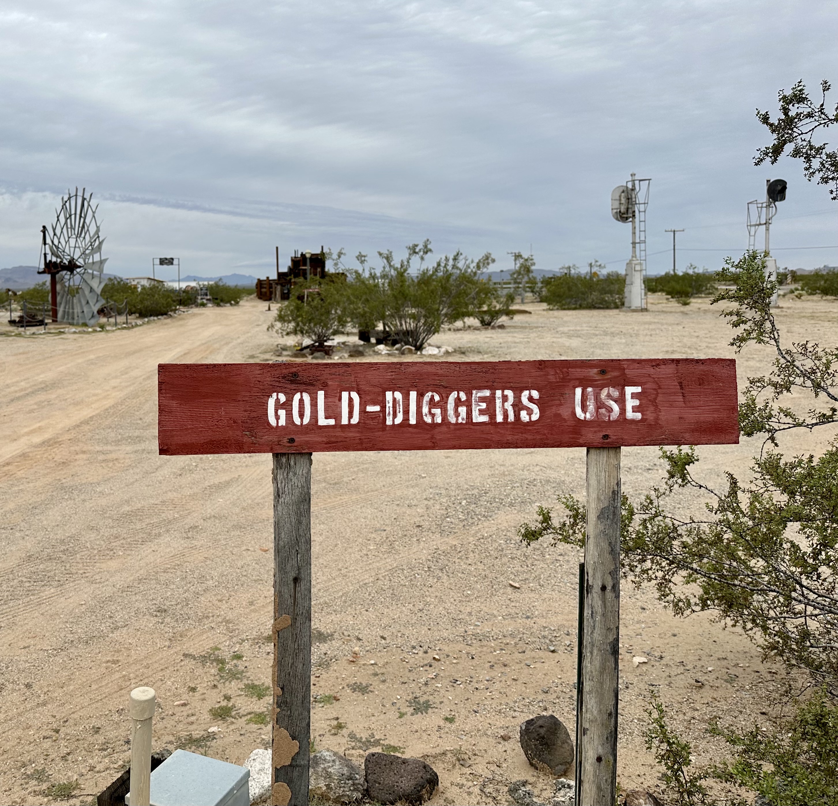
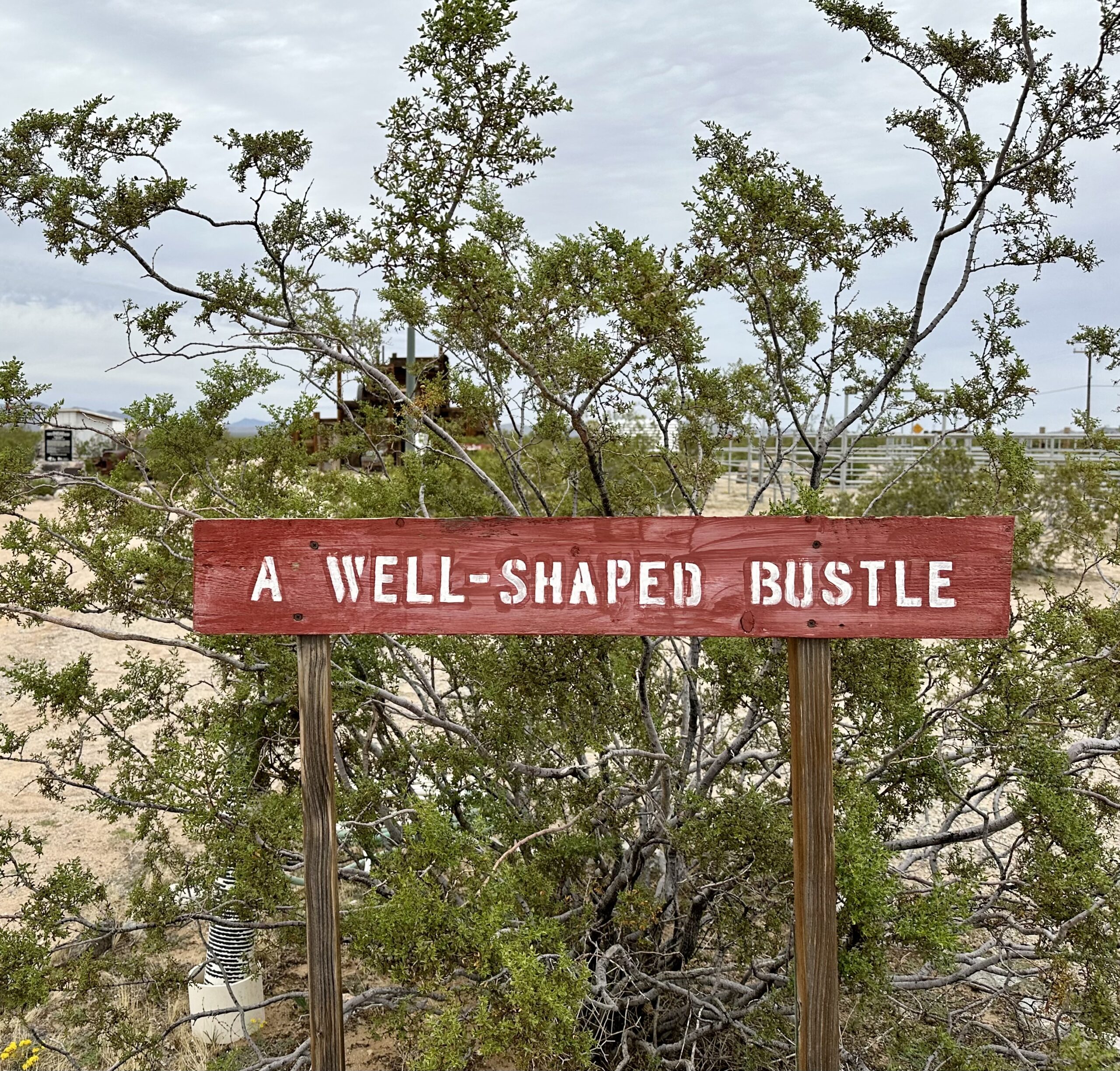
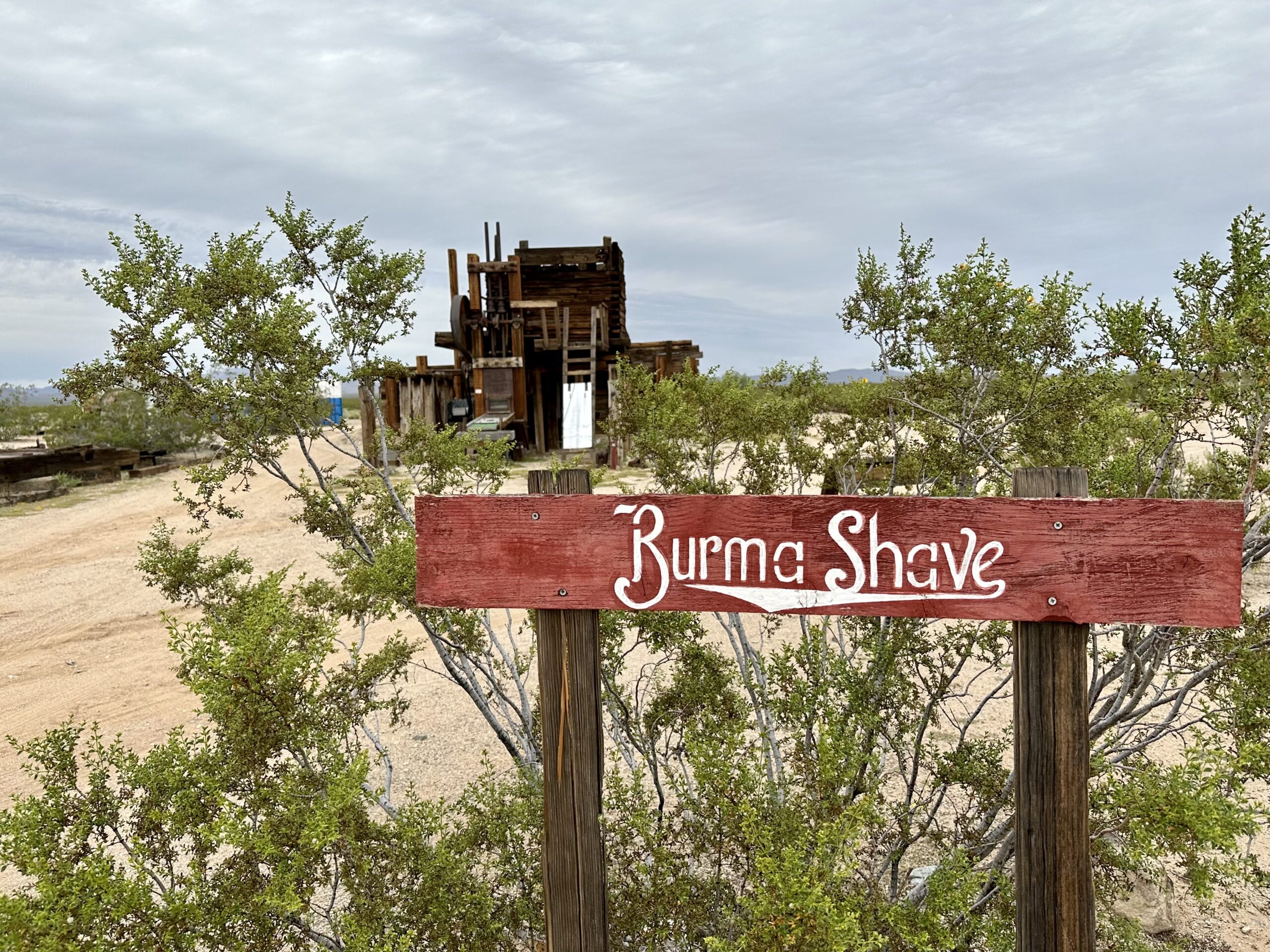
“Burma Shave Signs. Burma Shave signs became an important aspect of brand recognition, and were used across the country on highways beginning in 1925. Typically, there were six signs in succession, with white lettering on a red background. They always had a catchy story that kept the reader’s attention until the punchline on the last sign. They were discontinued in 1963 as cars began to travel faster on new highways. The Philip Morris Company, which acquired Burma Shave in the late 50s, decided to remove them because they were thought to be too much of a distraction for drivers. This is Goffs version of the famous signs.”
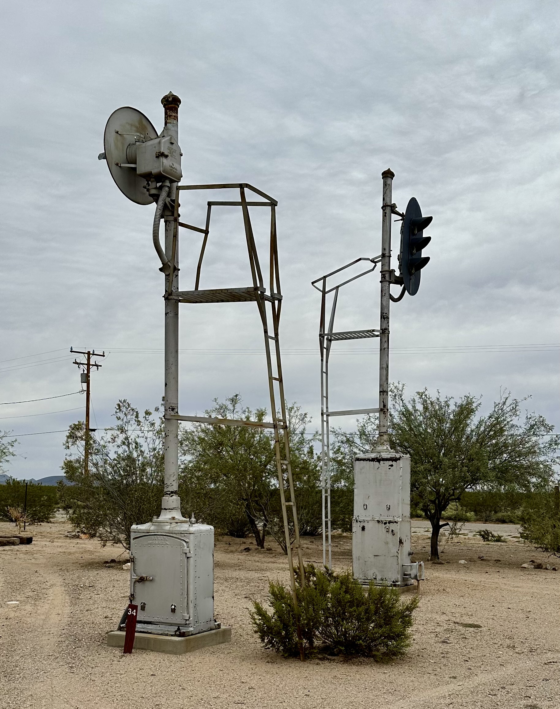
“BNSF Signal Towers (4). This display of block signal equipment was obtained through a donation from the Burlington Northern Santa Fe Railway…These towers were on active duty until 2001 when BNSF upgraded all their signal equipment. Parts of these towers are as old as 1917, with others having been built in the 1930s.”
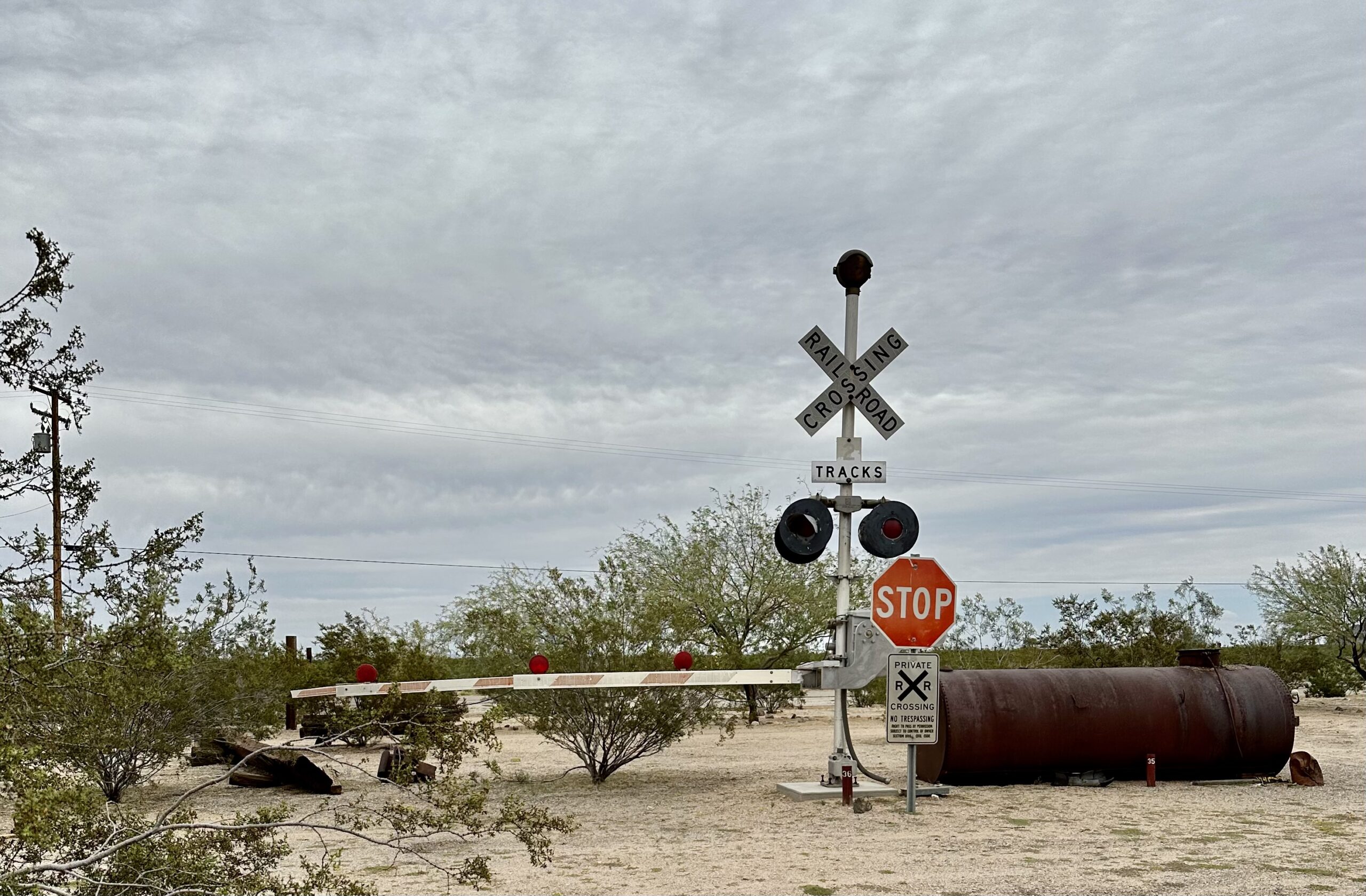
“Railroad Crossing Gate. This gate, complete with arm, lights and bell, served for many years at mile 725 in Newberry Springs, CA…”
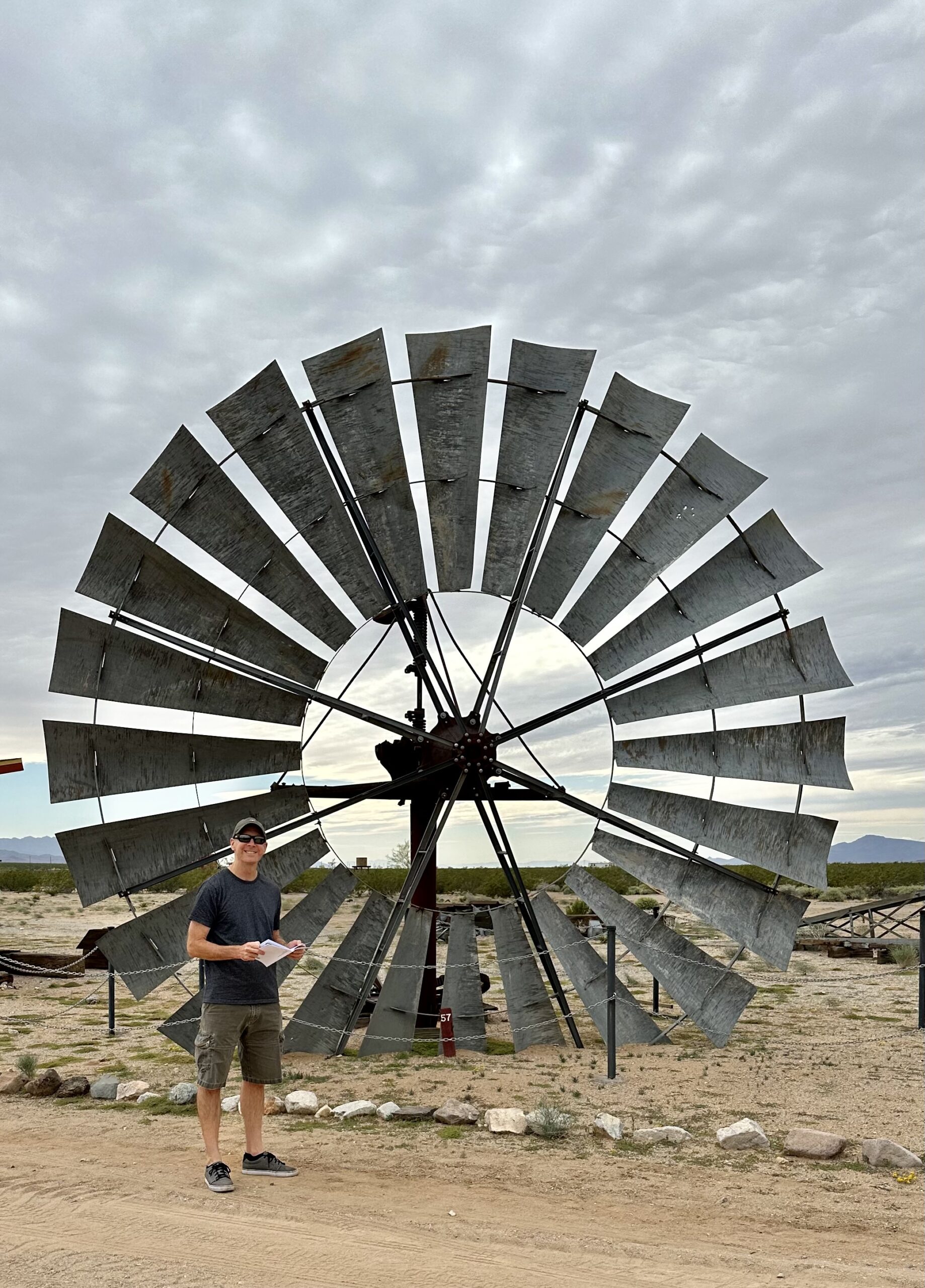
“20-foot Windmill. This windmill dates to 1912 in Lanfair. It is a 20 foot Samson, the largest ever made. There is a historic photo in the Schoolhouse entry of this mill at its original site.”
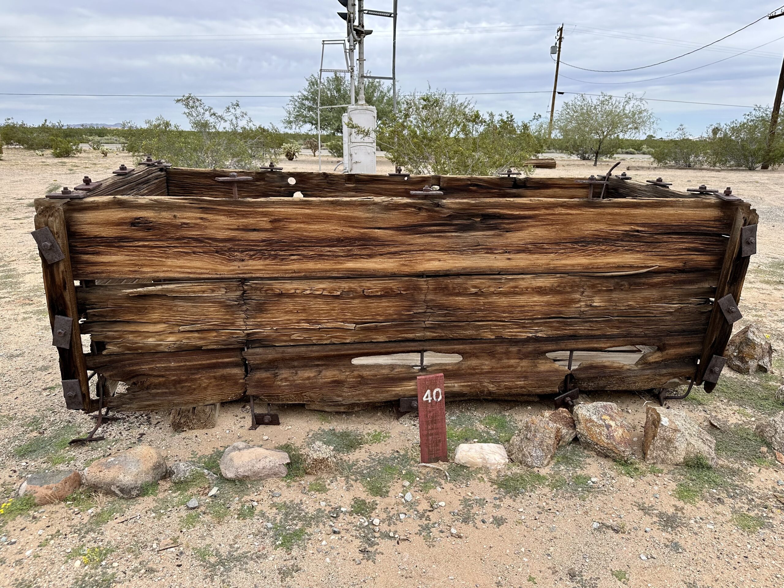
“Wooden Water Box. This wooden water box was on the OX Ranch near Barnwell (CA)…From the location where it was found, it is likely it was used before 1910 to carry water to the boom camp of Hart (CA) from the wells at Barnwell.” I found it hard to imagine using an open wooden box to haul water across the desert.
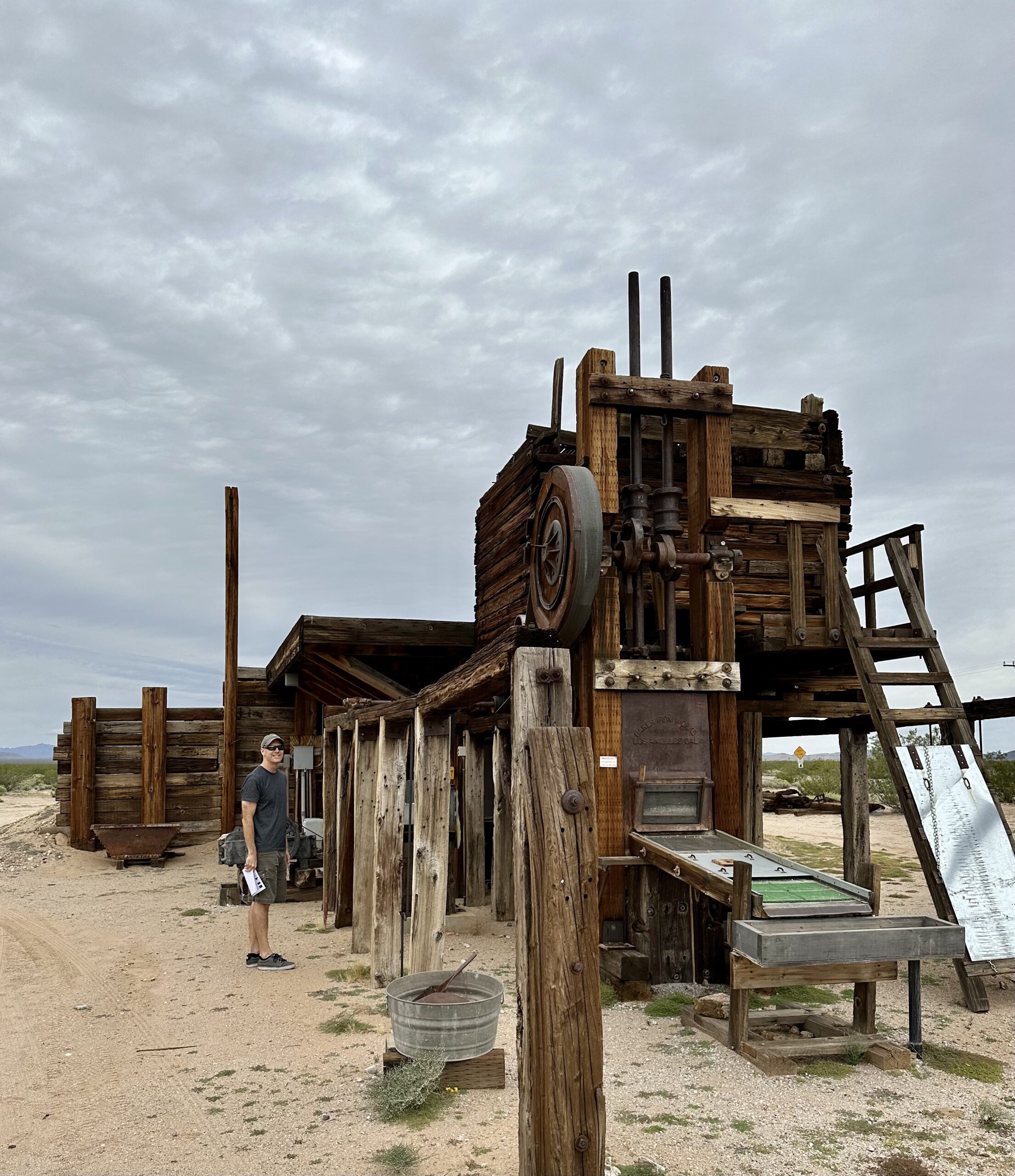
“Stotts Stamp Mill – Baker Iron Works, Los Angeles. This 2-stamp mill stood in Round Valley about 20 miles northwest of Goffs on land homesteaded by Ambrose “Frank” Stots in 1931…This is the last complete stamp mill from the East Mojave Desert.” The museum provided quite a bit of information about how mining was done, too much to write in this post. All I can say is that it seems like it would have been a very hard life to be a miner in the desert back then.
“The Mojave phone booth was a lone telephone booth in what is now the Mojave National Preserve in California. It attracted online attention in 1997 for its unusual location – it was located at the intersection of two dirt roads in a remote part of the Mojave Desert, 12 miles (19 km) from the nearest paved road (Interstate 15 to the northeast, Kelbaker Road to the southwest) and miles from any buildings.” – Wikipedia
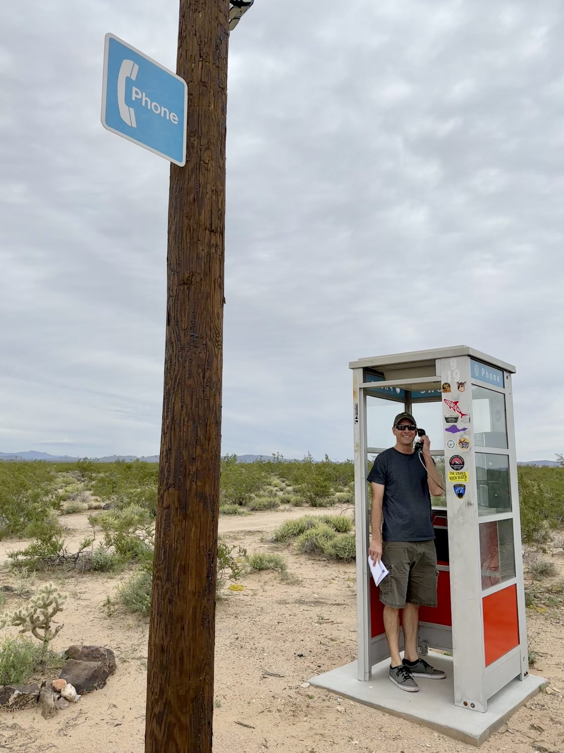
We were told that the Mojave phone booth had just recently been relocated to Goffs. It was placed further out from the main museum exhibits, at a nearby crossroads. It was about 1 mile (1.6 km) from the Schoolhouse, but still very walkable.
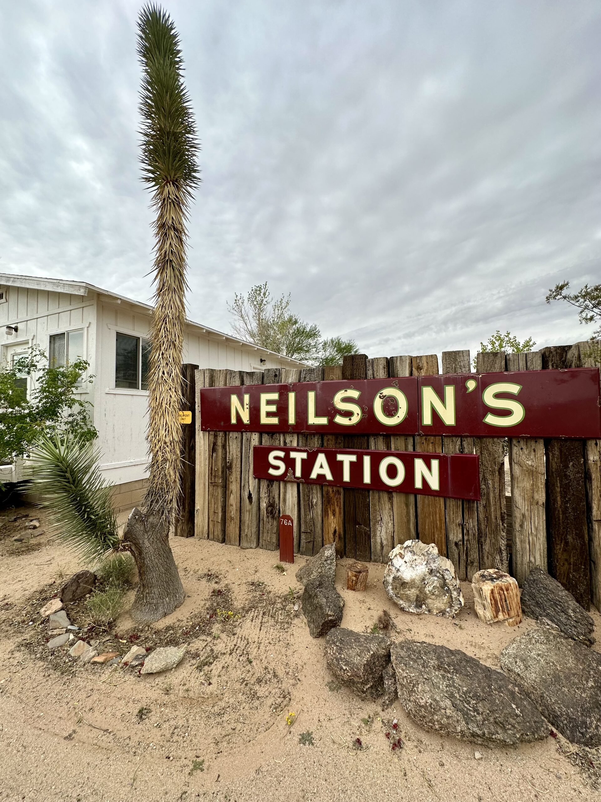
“Neilson’s Station Sign & Petrified Wood. The Neilson’s Station sign is from the gas station of Johnny Neilson at Danby (CA). Below it is a peice of petrified wood collected by Harold Weight at Rawhide, Nevada.”
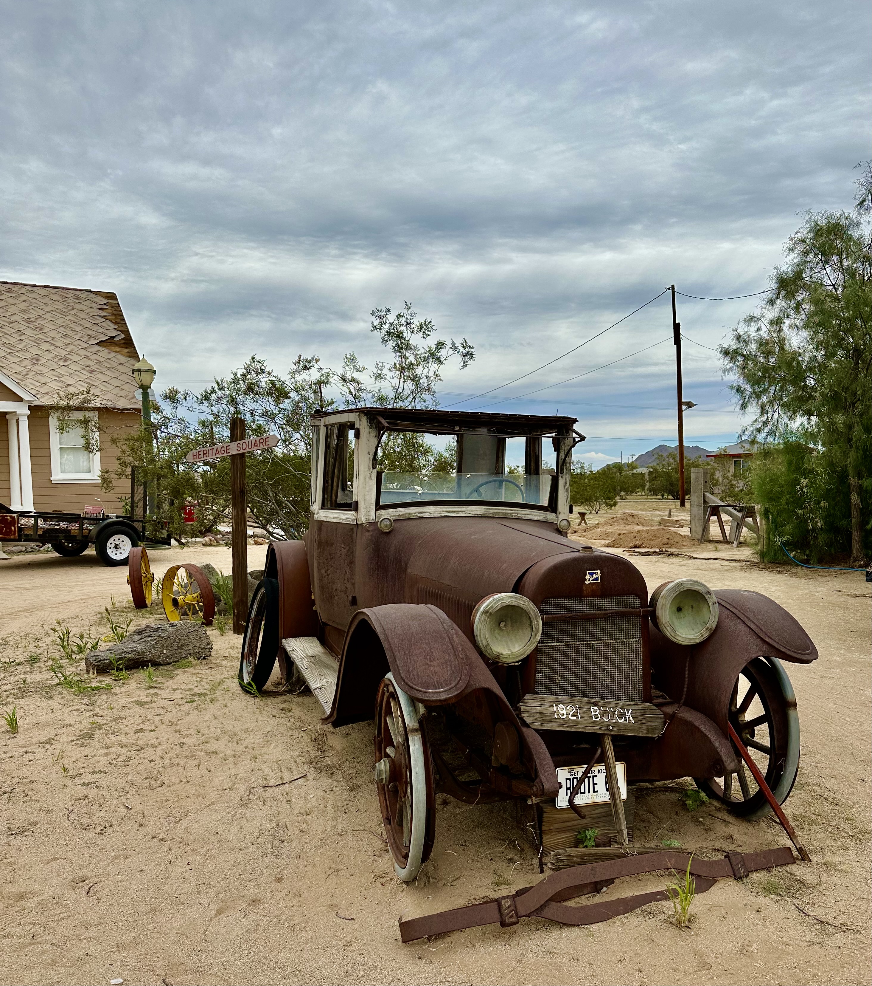
“1921 Buick Coupe. During prohibition vehicles like this one that were small with big engines were used to run booze out of the East Mojave into the “civilized” portions of Arizona and California. The large trunk could be fitted with a holding tank. The relatively big engine could give the bootlegger the edge on the highway.”
There were no markers for this cross though it was near the Goffs Cemetery. Somebody mentioned that it appears to be a replica of the Mojave Cross.
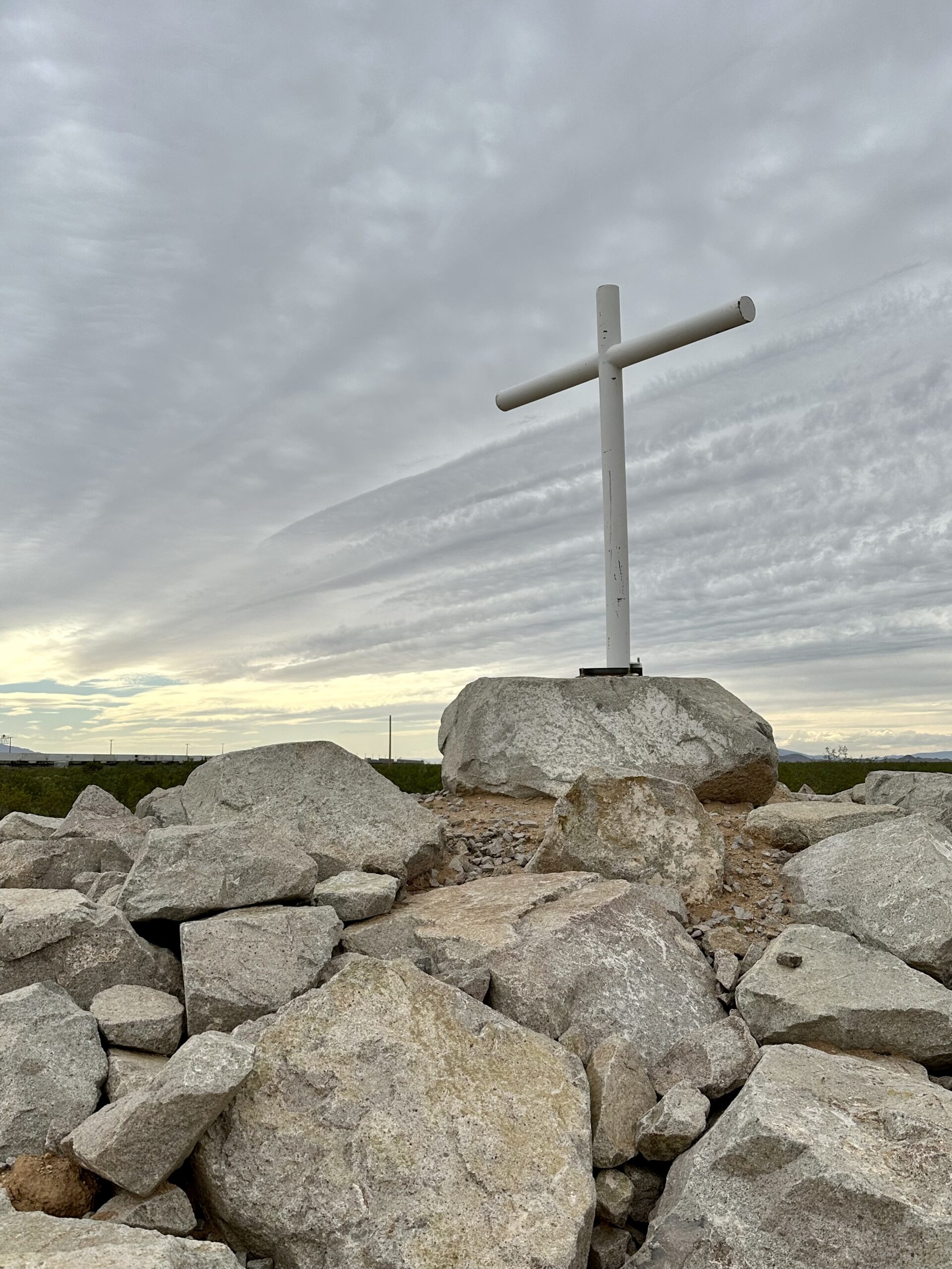
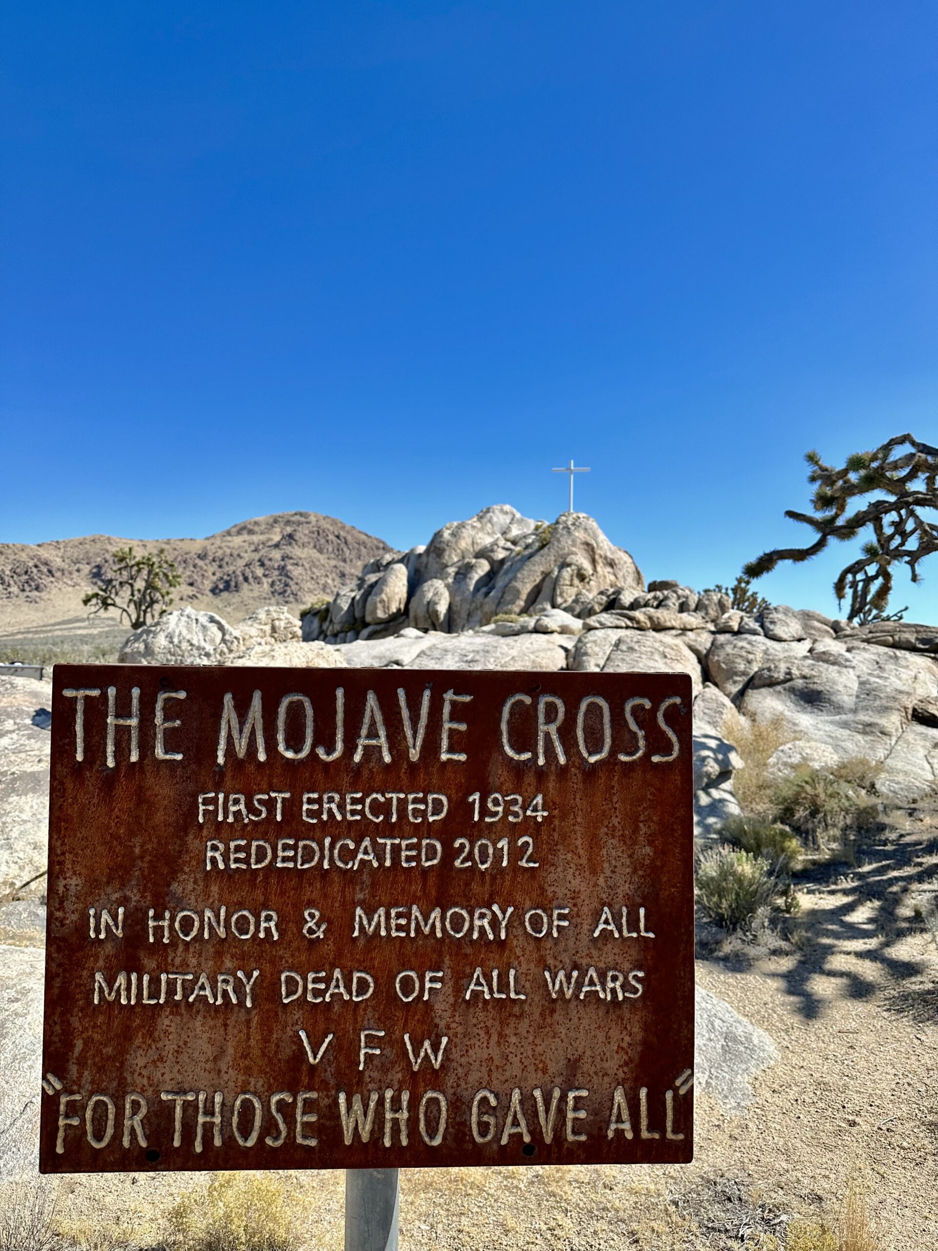
We went to the original Mojave Memorial Cross on another day trip. While it was very similar though the original cross is much larger. “The Mojave Memorial Cross, officially known as the White Cross World War I Memorial, is a cross formerly on public land in the Mojave desert in San Bernardino County, California that was at the center of the Salazar v. Buono legal case before the U.S. Supreme Court. The original cross was erected in 1934 to honor those killed in war. The cross stands on Sunrise Rock, a granite outcropping adjacent to Cima Road about 12 miles (19 km) south of Interstate 15, and 6 miles (9.7 km) north of Cima, California” – Wikipedia
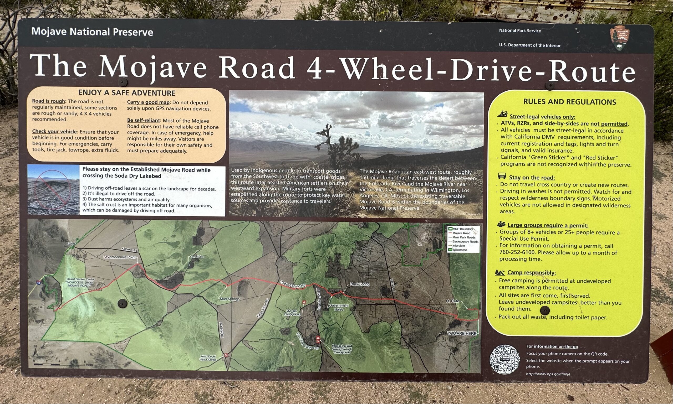
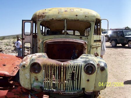
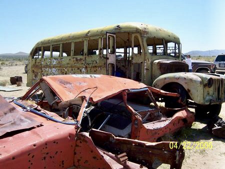
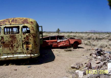
“Mojave Road Bus. This bus sat on private land for some 35 years along side the Mojave Road until March 2018. At that time the land was purchased by the Mojave Desert Land Trust and moved to the community of Joshua Tree. In June 2018 MHDCA acquired the bus and had it moved to Goffs.”
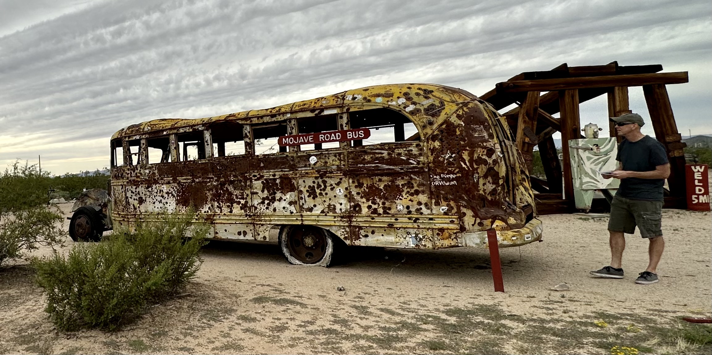
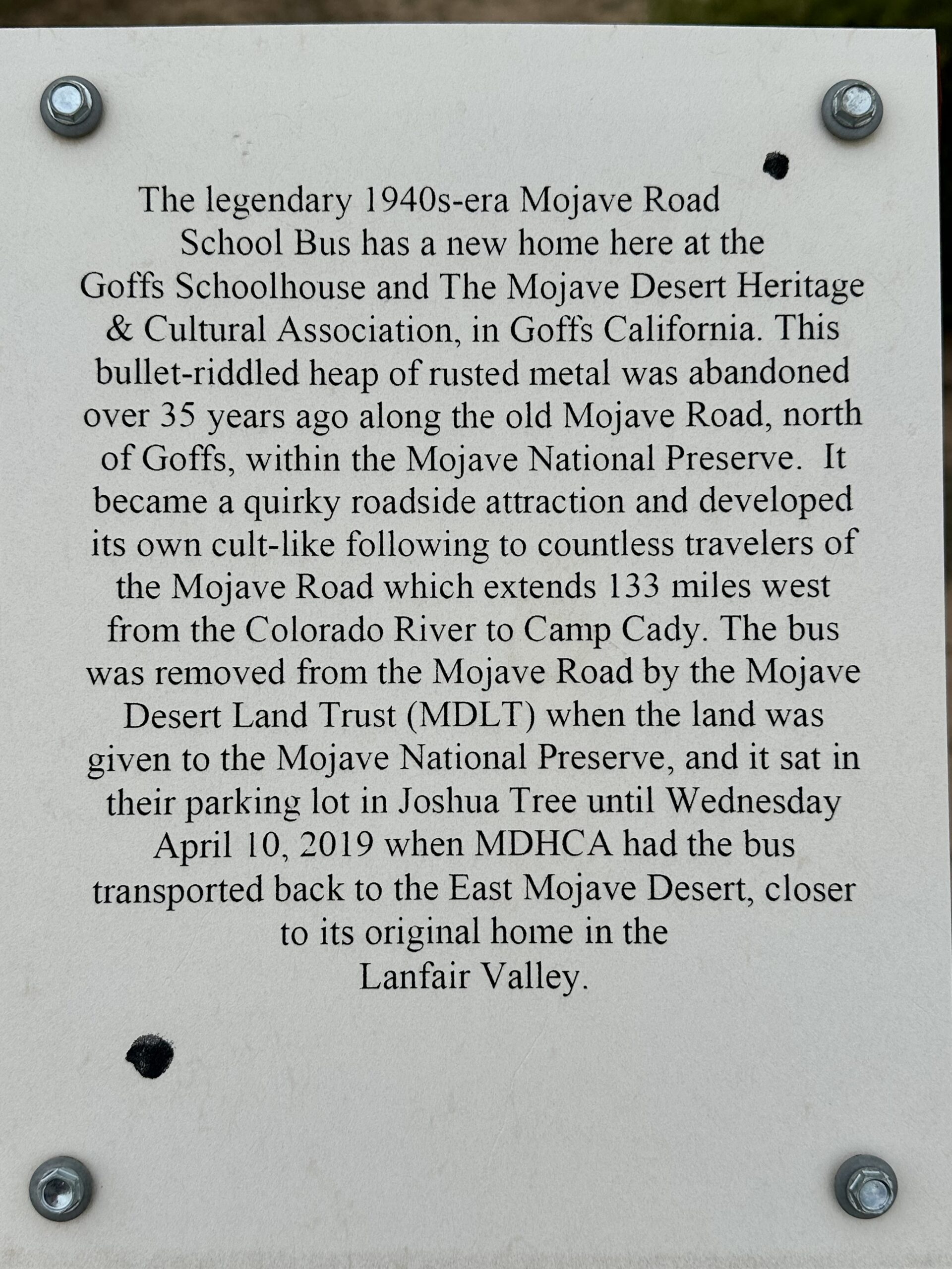
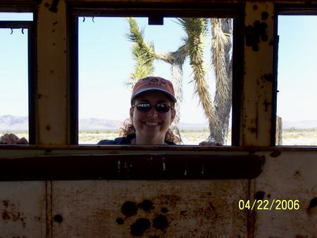
Joel and I have been exploring the Mojave Desert for almost 30 years. We saw the bus when it was along the Mojave Road. Here are some pictures we took from one of our 4-wheel-drive trips in 2006. Looking at it now, it looks so much worse than it did back then – the front end it missing now!
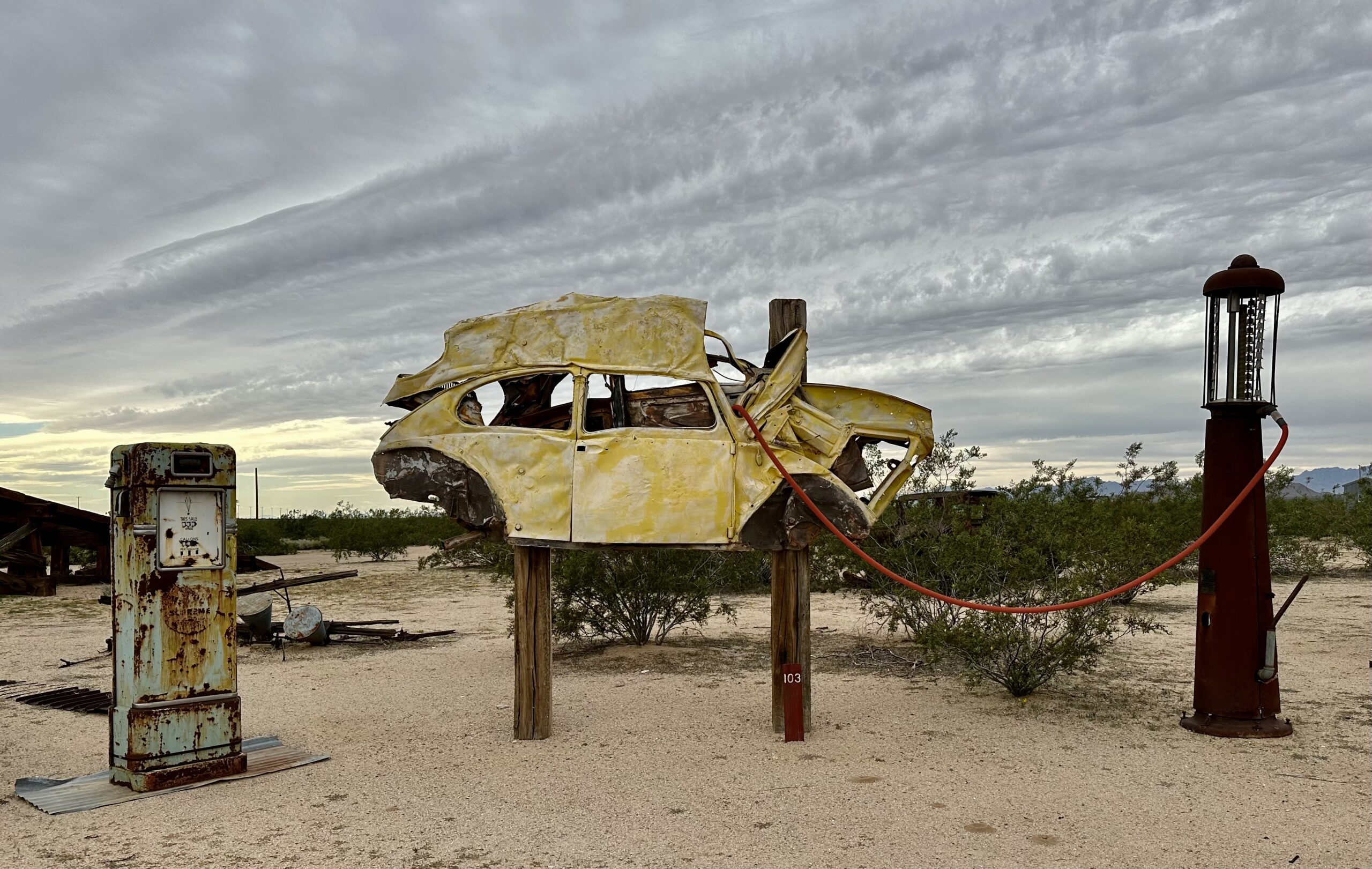
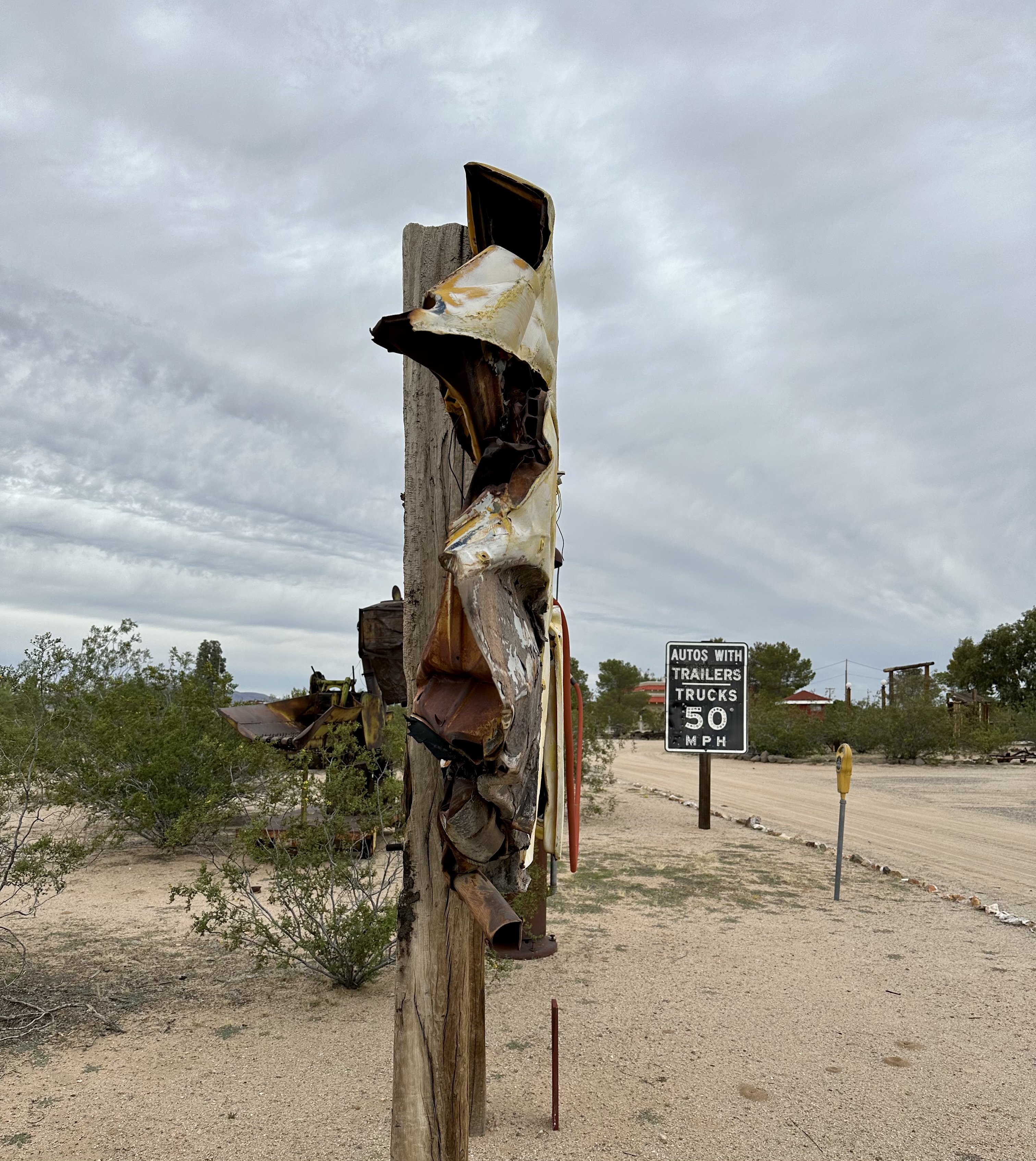
“1965 Custom Volkswagen. This “squashed bug” was used by Richard Meyer as a business sign when he was in the scrap metal business in Torrence (CA) for many years. When he sold his business in 2001, Richard brought this treasure to Goffs.”
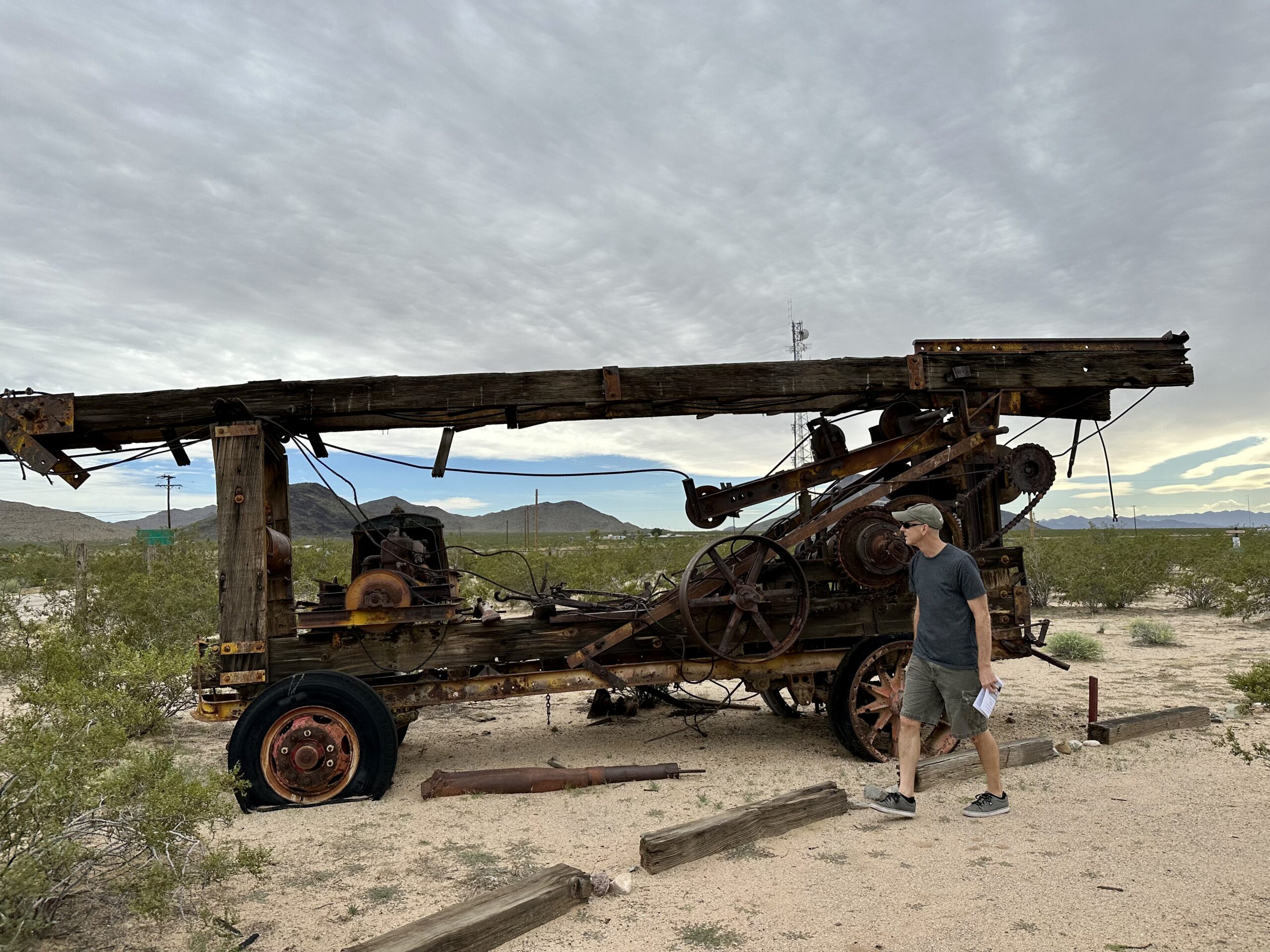
“Water Well Drilling Rig. This venerable well drilling rig is typical of machines used in the desert country over the past eighty years. This particular one was a pioneer machine used in the Joshua Tree and Morongo Basin areas for many years.”
“Santa Fe Railway Outhouse. This venerable old structure started its life as Santa Fe Railway outhouse. Next, it spent many years on a ranch in Arizona. It was acquired by George Davis of Bullhead City, who used it on his ranch for several years. George donated it to the MDHCA in 1997.”
Who knew an outhouse could have so much history? Or that it could be moved!
There were so many other artifacts around the Schoolhouse. It was an unexpectedly interesting day. Joel and I have talked about driving the entire Route 66 someday. For now, we’ll keep exploring it one day at a time.

Looks like you both have done a lot of exploring……very exciting…..like the history behind it all….my kind of thing when I traveled with Allan in the past. Actually I believe I’ve been to Hot Springs National Park many moons ago and we took a ride on the glass bottom boat in Arkansas when I was married and drove cross country with your Uncle to Mexico and you and your family were living in Guadajara, it was quite an experience driving our car in different small towns in Mexico. We had to take out special car insurance @ $350 for the month we traveled there. Drive up Mountains with no guard rails…scary but we got through it all. Wound up in Mexico City and left our car there due to all the rain fall in July and flew to Guadajara. Stayed with you guys for awhile before heading back to Mexico City.
Safe travels and enjoy your trip en route to Florida. xxoo