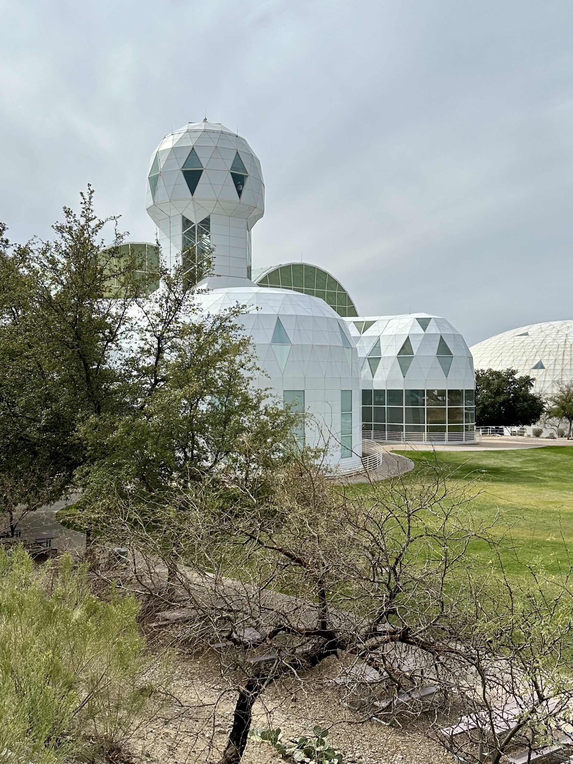
When people hear “Horseshoe Bend” they typically think of this beautiful canyon in Arizona.
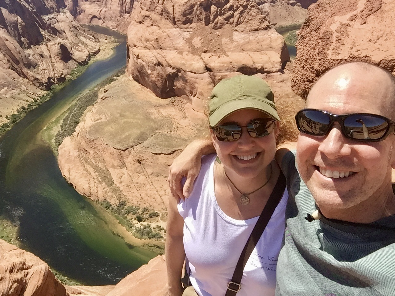
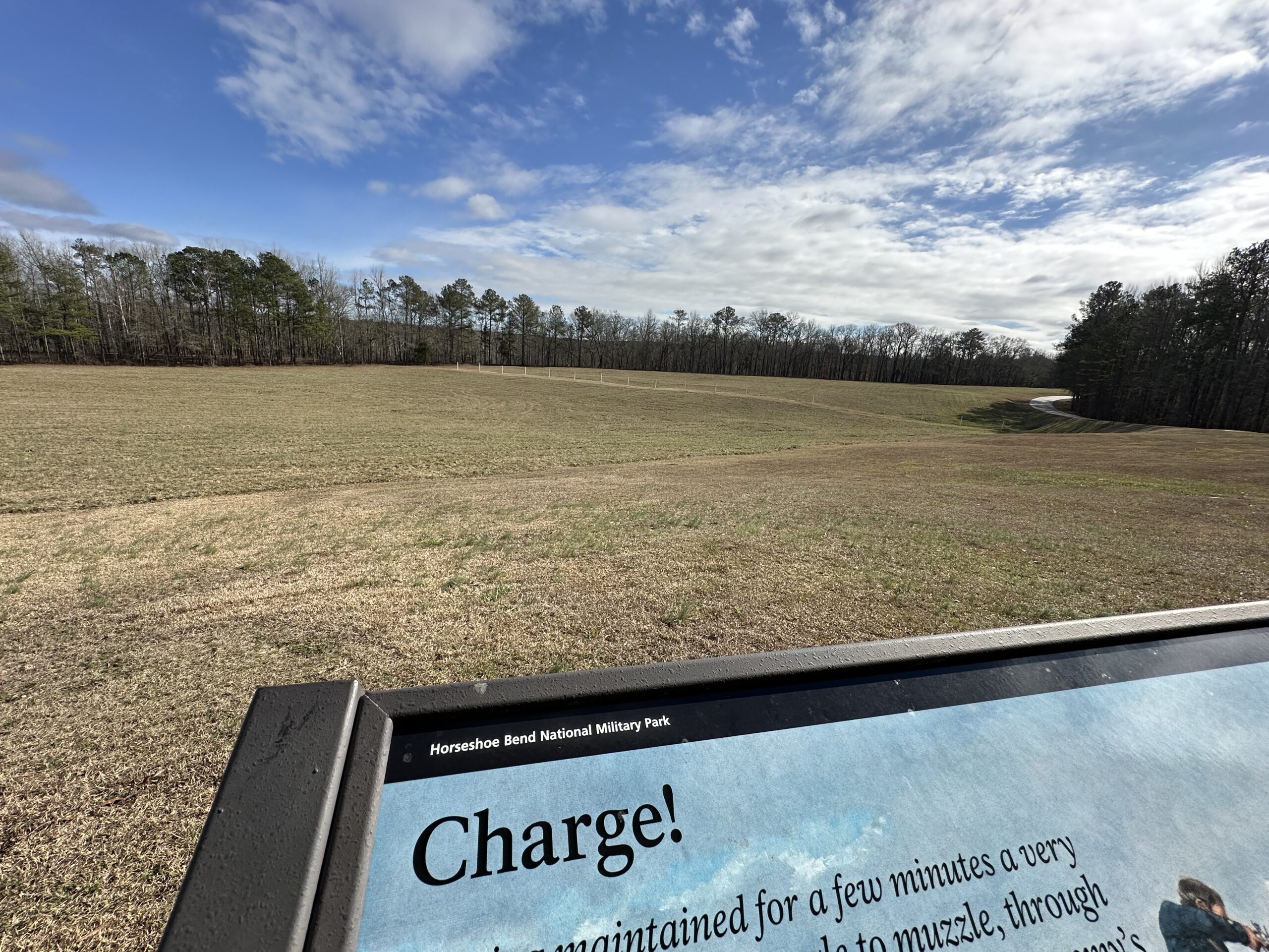
But Horseshoe Bend is also a National Military Park in Alabama. It was the scene of a massacre involving the Creek Indians and Major General Andrew Jackson, who went on to become our seventh President, partly as a result of his fame from the battle of Horseshoe Bend.
“On 27 March 1814, Major General Andrew Jackson ‘s army of 3,300 men attacked Chief Menawa’s 1,000 Red Stick Creek warriors fortified in a horseshoe shaped bend of the Tallapoosa River. Over 800 Red Sticks died that day. The battle ended the Creek War, resulted in a land cession of 23,000,000 acres to the United States and created a national hero of Andrew Jackson.” – National Park Service (NPS)
This National Military Park (NMP) tells the story of that battle.
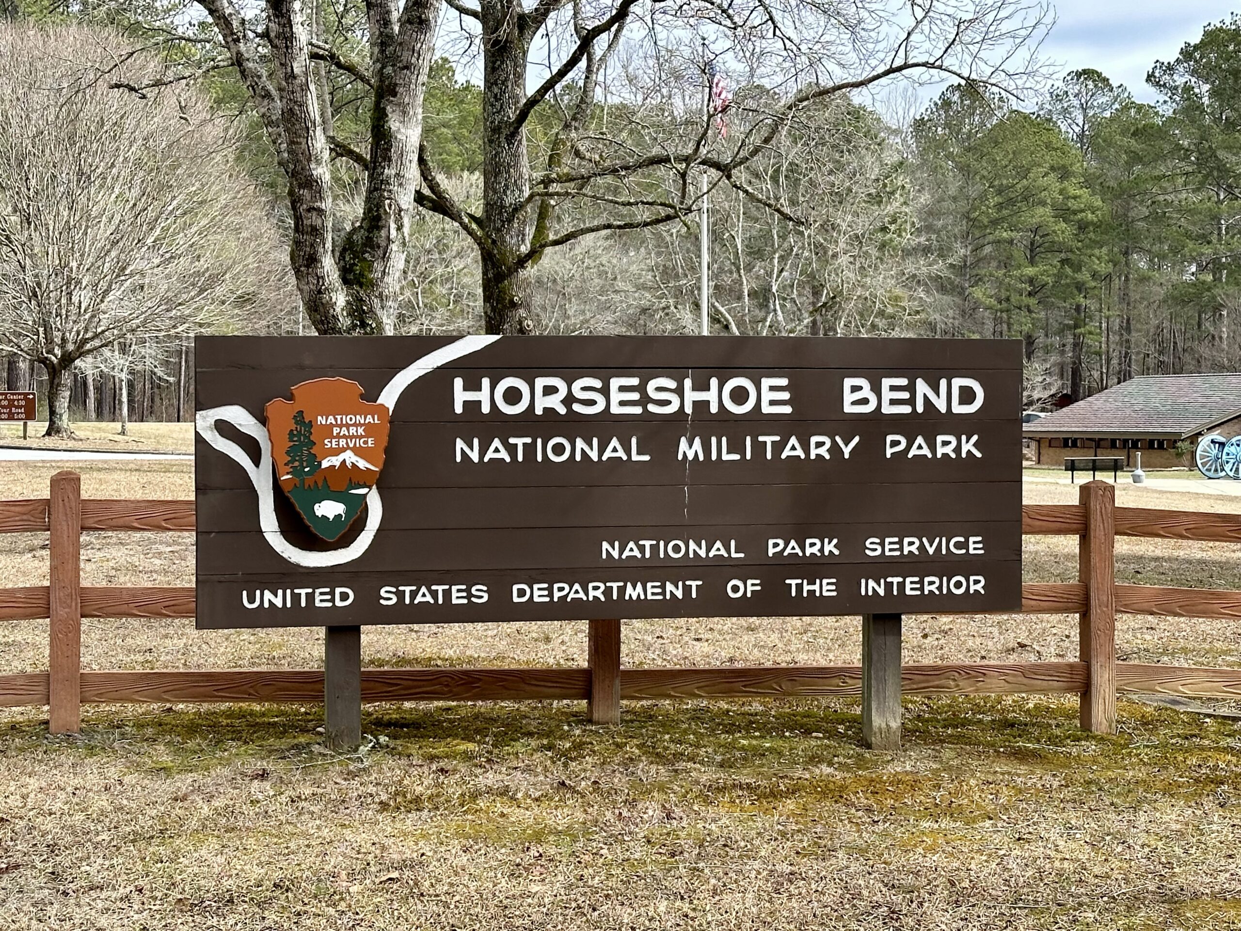
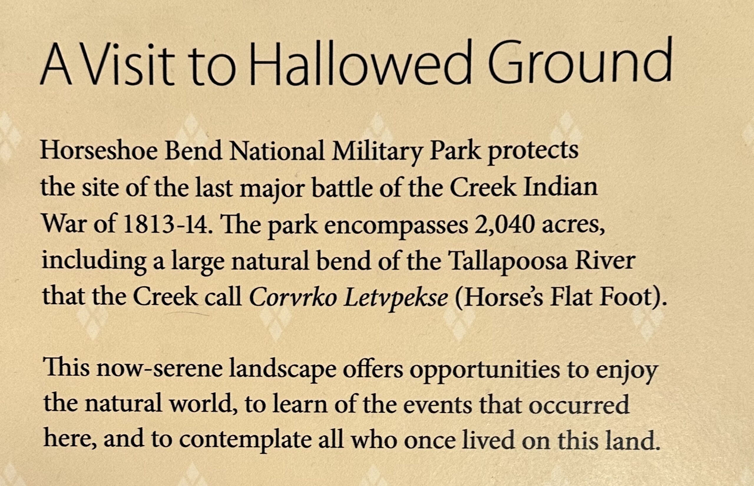
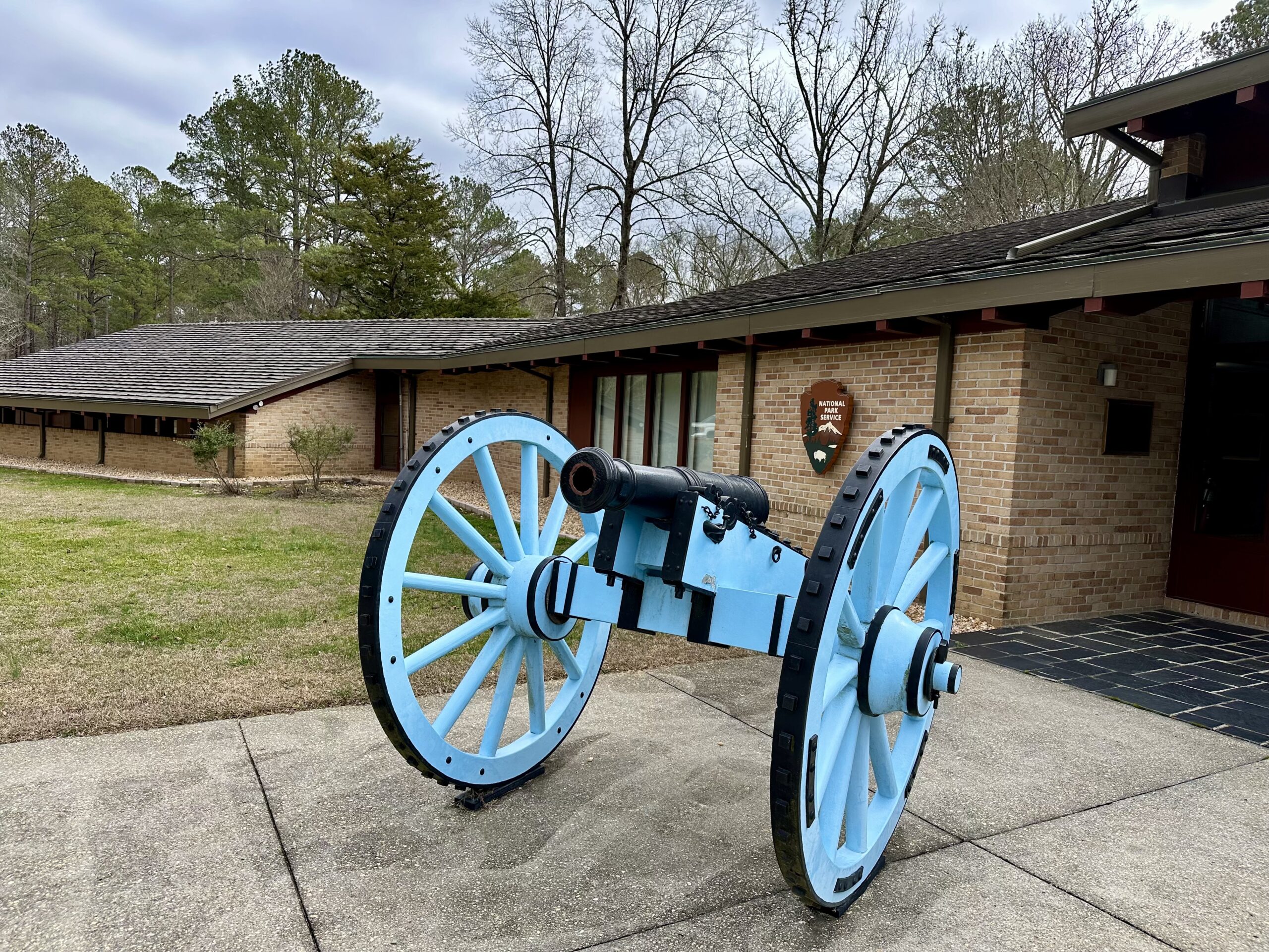
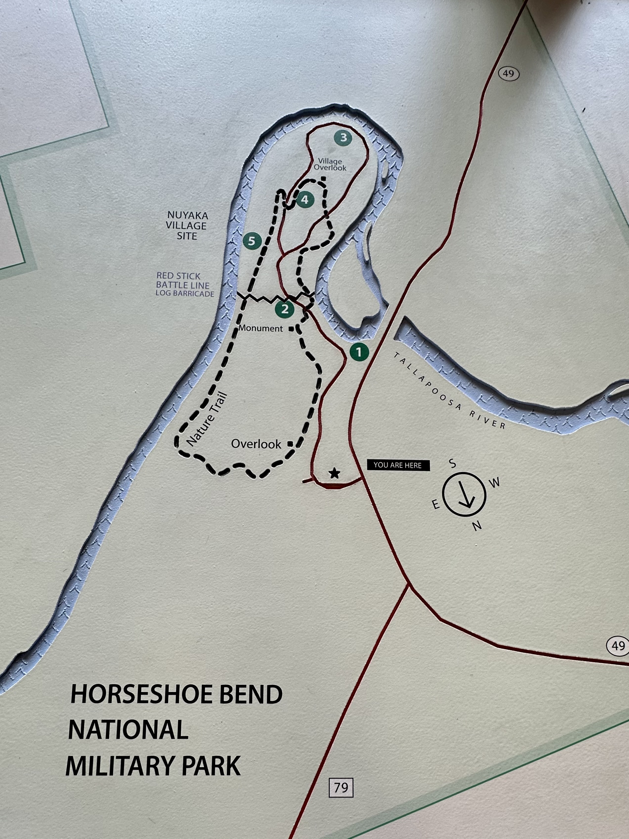
In addition to the Visitor Center, there is a 3-mile driving loop around the park with five (5) stops along the way. At each stop you can call a phone number and push the button for your corresponding stop. You can listen to a park ranger narrate the story of what happened there for you. We thought it was very well done.
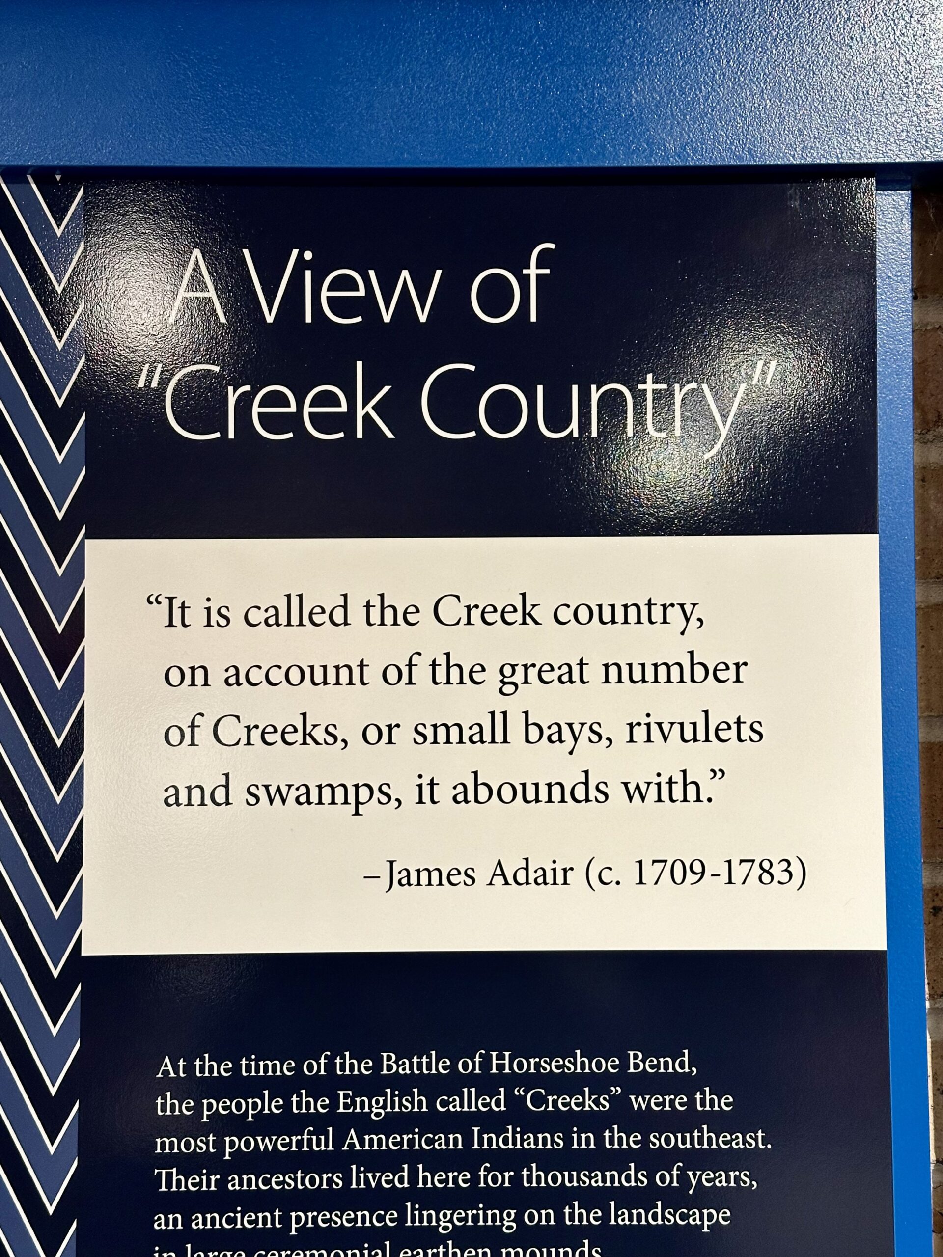
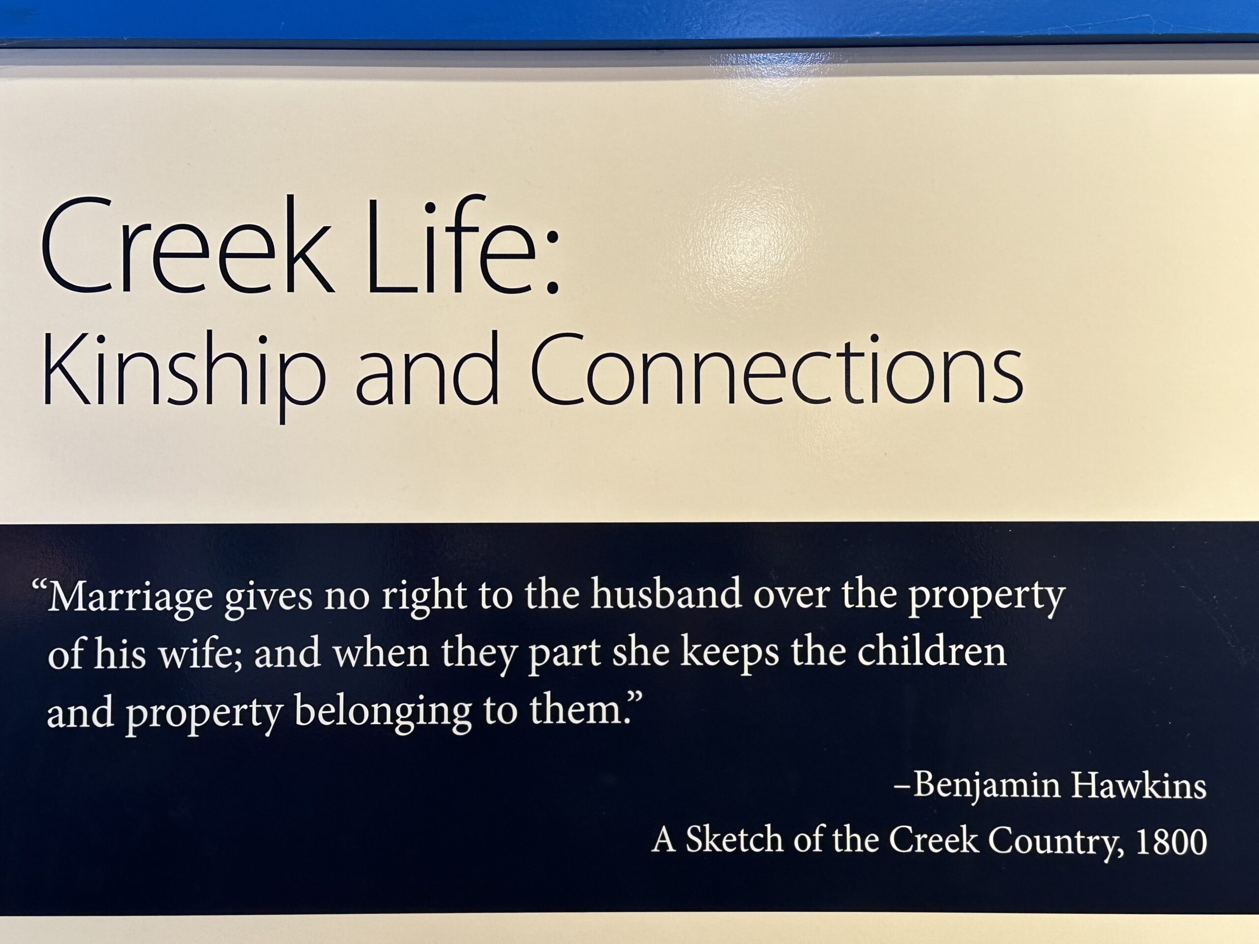
The Visitor Center had great information on the Creek Indians. “The Creek were not a single tribe, but a shared culture of multiethnic and multilingual groups, the survivors of a long period of epidemics, fighting, and disruption resulting from Europeans’ arrival in the 1500s. Most Creek spoke variations of Muskogee (Muskoke), as did several other southeastern tribes.
By the 1700s, Creeks were the dominant economic and political power in the region. An estimated 20,000 to 26,000 Creek people lived in some 60 tribal towns along the major rivers of what is today Alabama and Georgia, sharing a vibrant, interconnected society.” – NPS
“The Creek War of 1813-14, also referred to as the Red Stick War, eventually included US troops from Tennessee, Georgia, and the Mississippi Territory, as well as Creek and Cherokee allied forces against the Red Stick Creeks. The conflict threw the Creek Nation into chaos, bringing death, destruction and upheaval to Creek towns along the Tallapoosa and other nearby rivers and streams. Warriors were not the only ones affected. Women, children, and tribal elders were all in the line of fire.” – NPS
“Creek warriors fighting against the United States were called Red Sticks because they painted their war clubs red, a color symbolizing war. Traditionally, Creek men painted their faces, arms and chests black or red before going into battle.” – NPS
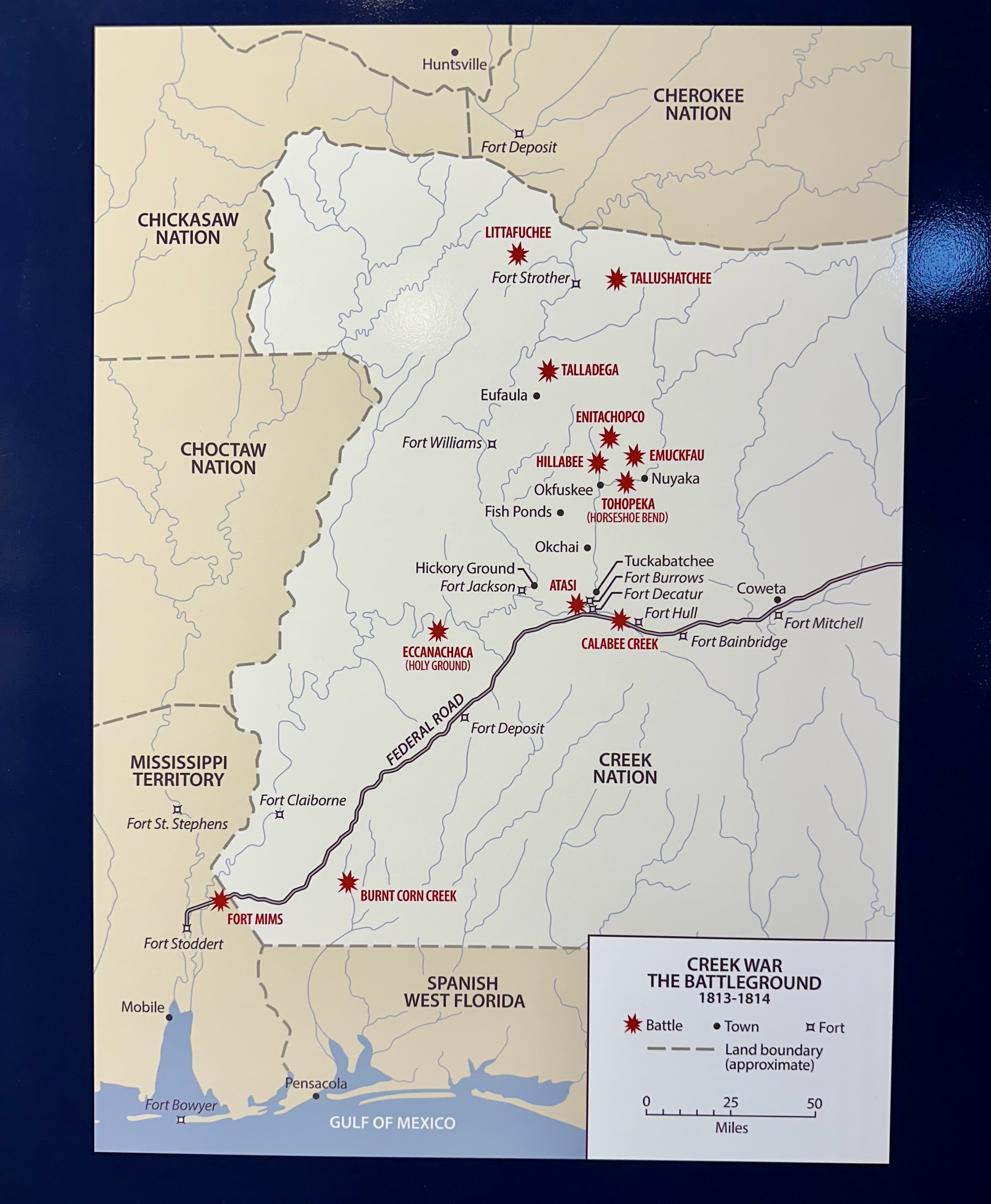
“War in the Creek Nation: The outbreak of violence within the Creek Nation and fear that violence would extend into surrounding US lands escalated tensions in the region.
- – On July 27, 1813, militia from the Mississippi Territory attacked a Red Stick supply convoy at Burnt Corn Creek, killing 10 people.
- – On August 30, 1813, Red Sticks retaliated by attacking Fort Mims, a fortified settlement, killing more than 250 people and capturing 100 more. Among the dead were many Mississippi Territory militiamen, enslaved African Americans, women, and children. Only a few escaped the attack.
Headlined as “the Fort Mims Massacre” in the US press, the attack outraged many Americans. The Fort Mims attack transformed what had been an internal Creek civil war into a US-led coalition war against the Red Sticks.” – NPS
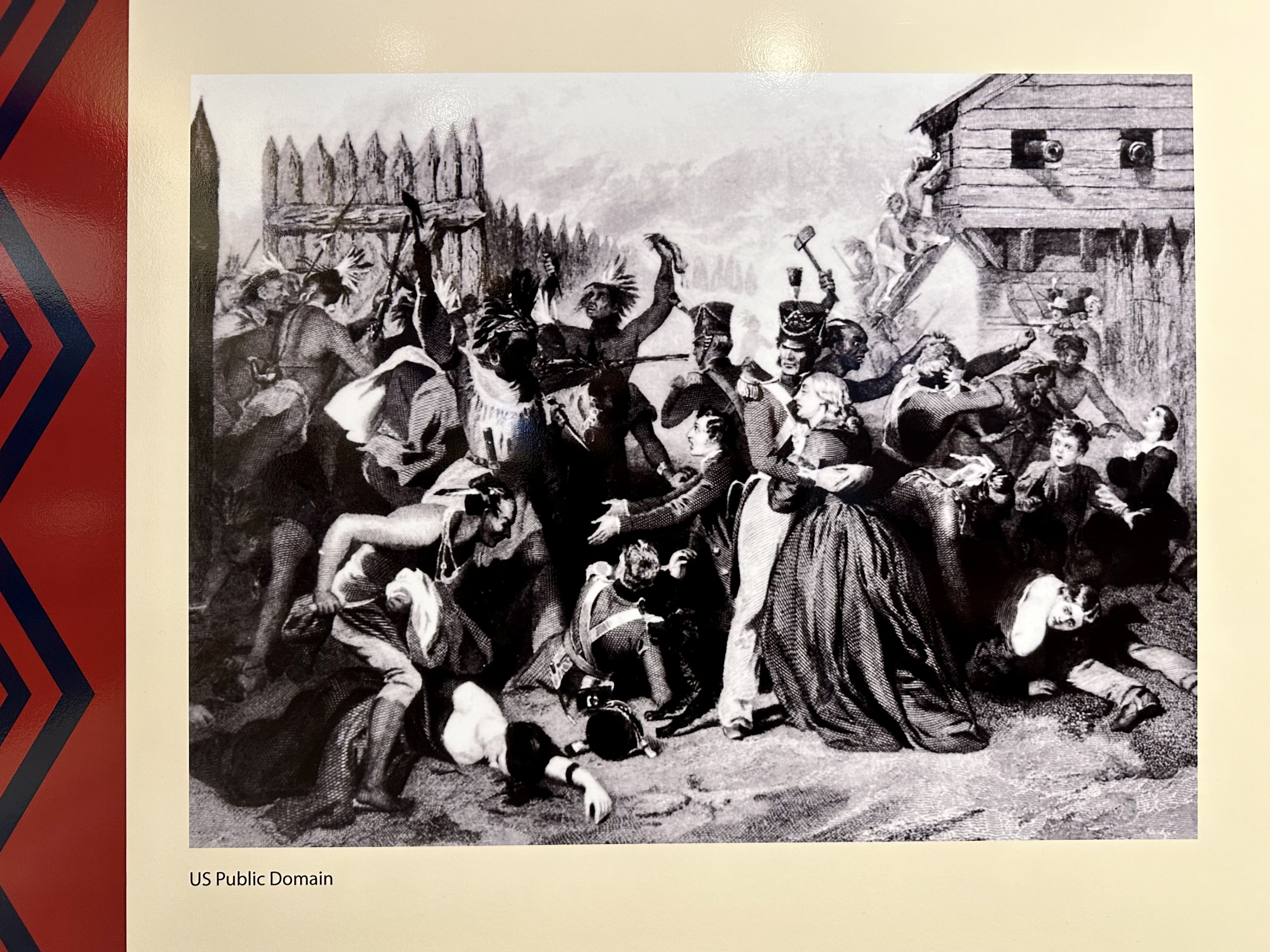
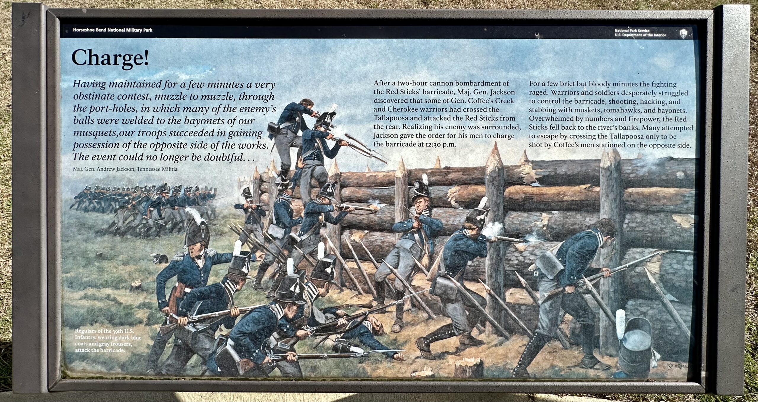
“In March 1814, General Jackson’s army left Fort Williams on the Coosa, cut a 52-mile trail through the forest in three days, and on the 26th made camp six miles north of Horseshoe Bend. The next morning, Jackson sent General John Coffee and 700 mounted infantry and 600 Cherokee and Creek allies three miles down-stream to cross the Tallapoosa and surround the bend. He took the rest of the army – about 2000 men, consisting of East and West Tennessee militia and the Thirty-ninth U.S. Infantry – into the peninsula…” – NPS
“During the winter of 1813 – 1814, Red Stick Creeks built a log wall over 1,000 feet long and 5 to 8 feet high across horseshoe peninsula. The barricade had two rows of portholes, plus angles allowing crossfire.” – NPS
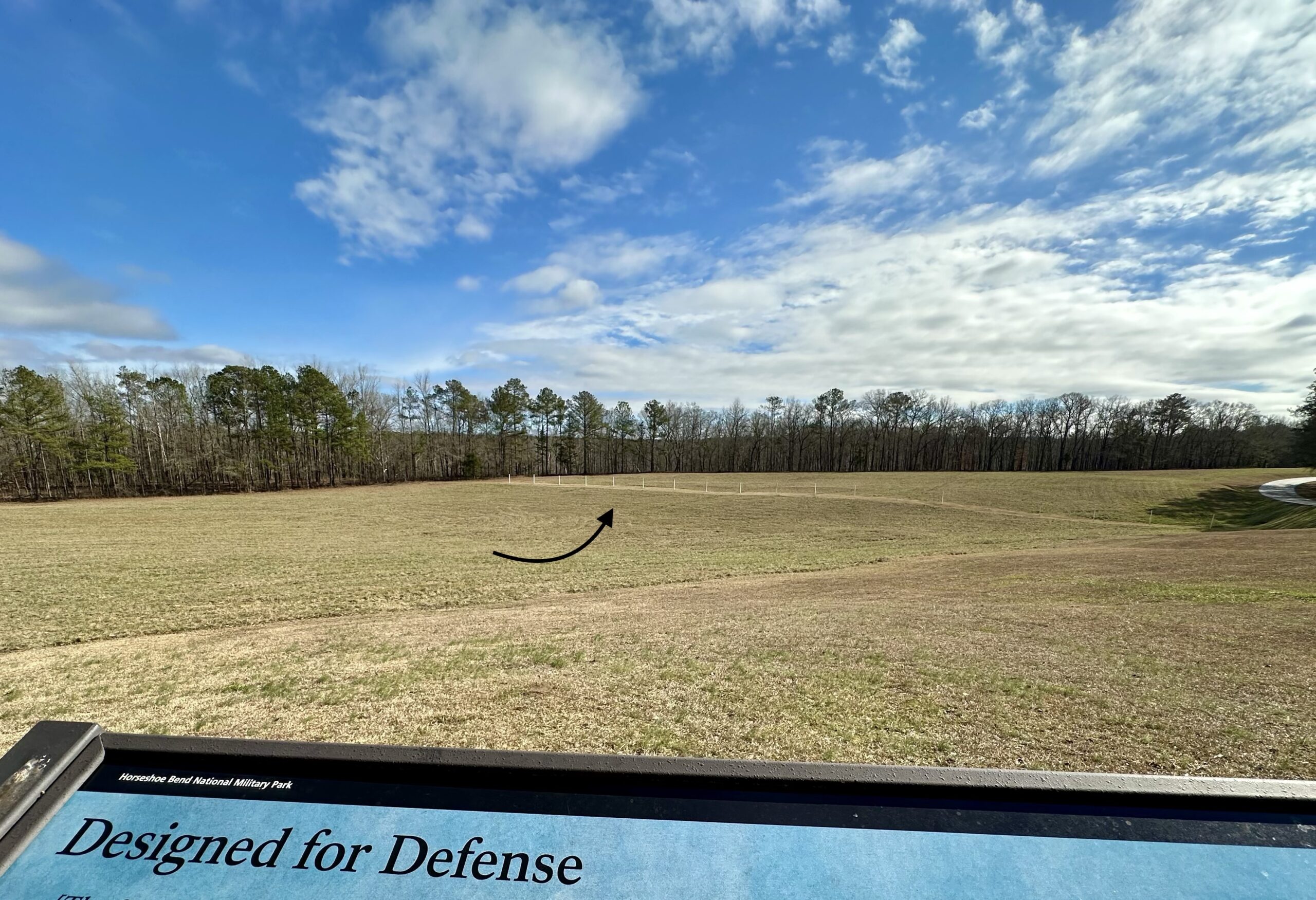
“We know basic facts about the barricade from maps and letters from US soldiers and modern archeological research. However, we do not know its exact layout or how it was constructed. The reconstruction here incorporates the wall’s known features to communicate the strength and power of the structure.” – NPS
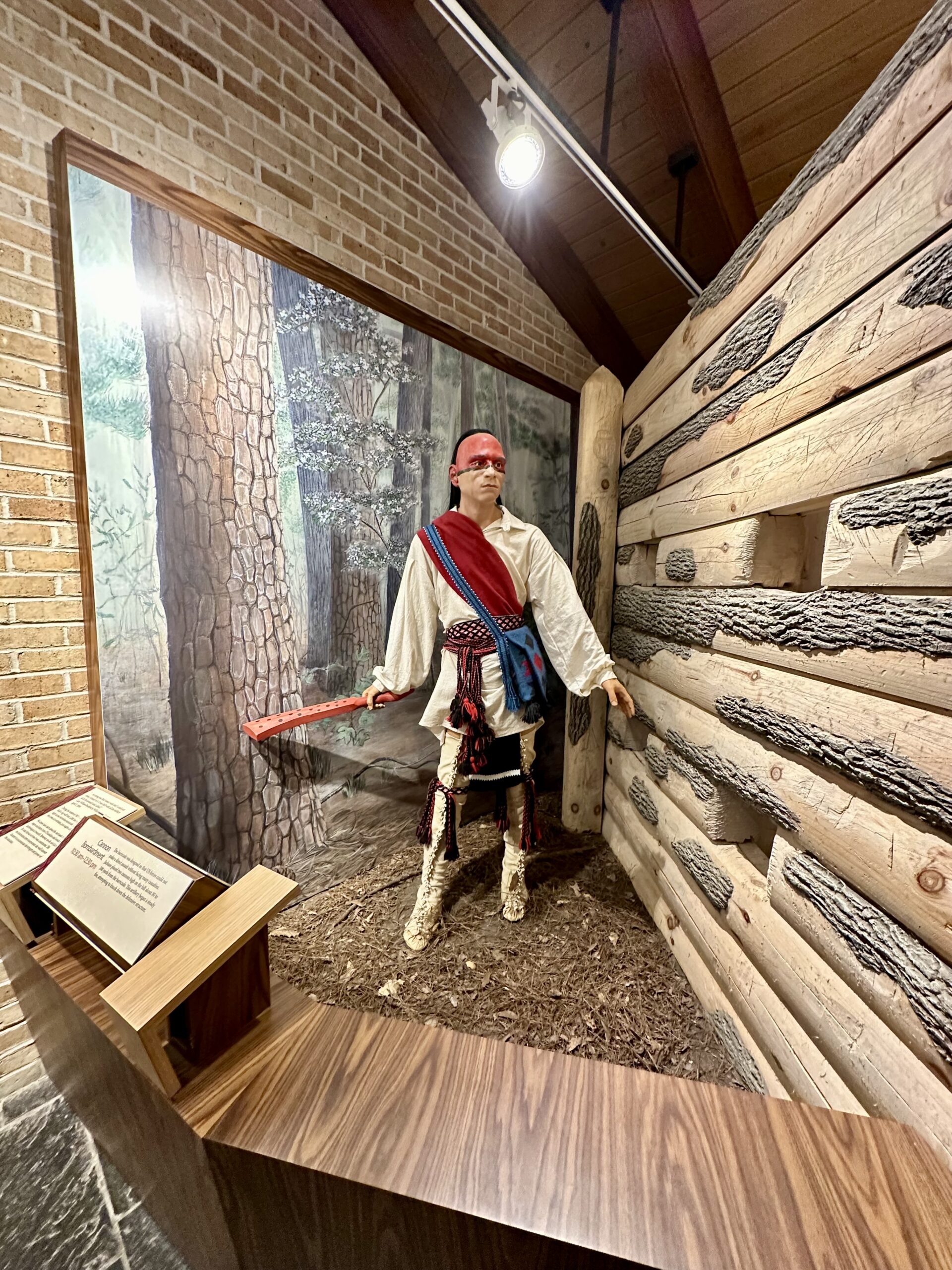
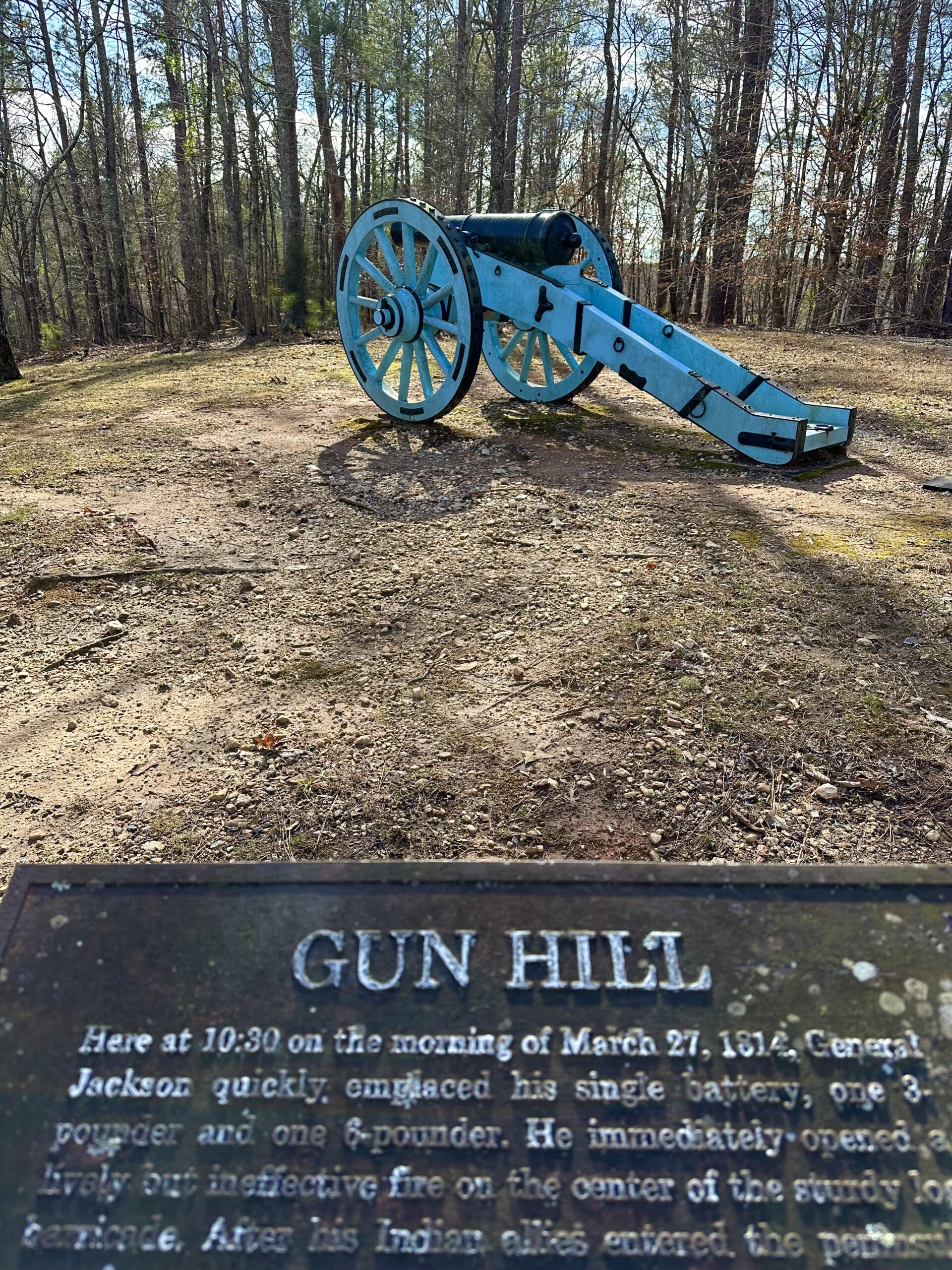
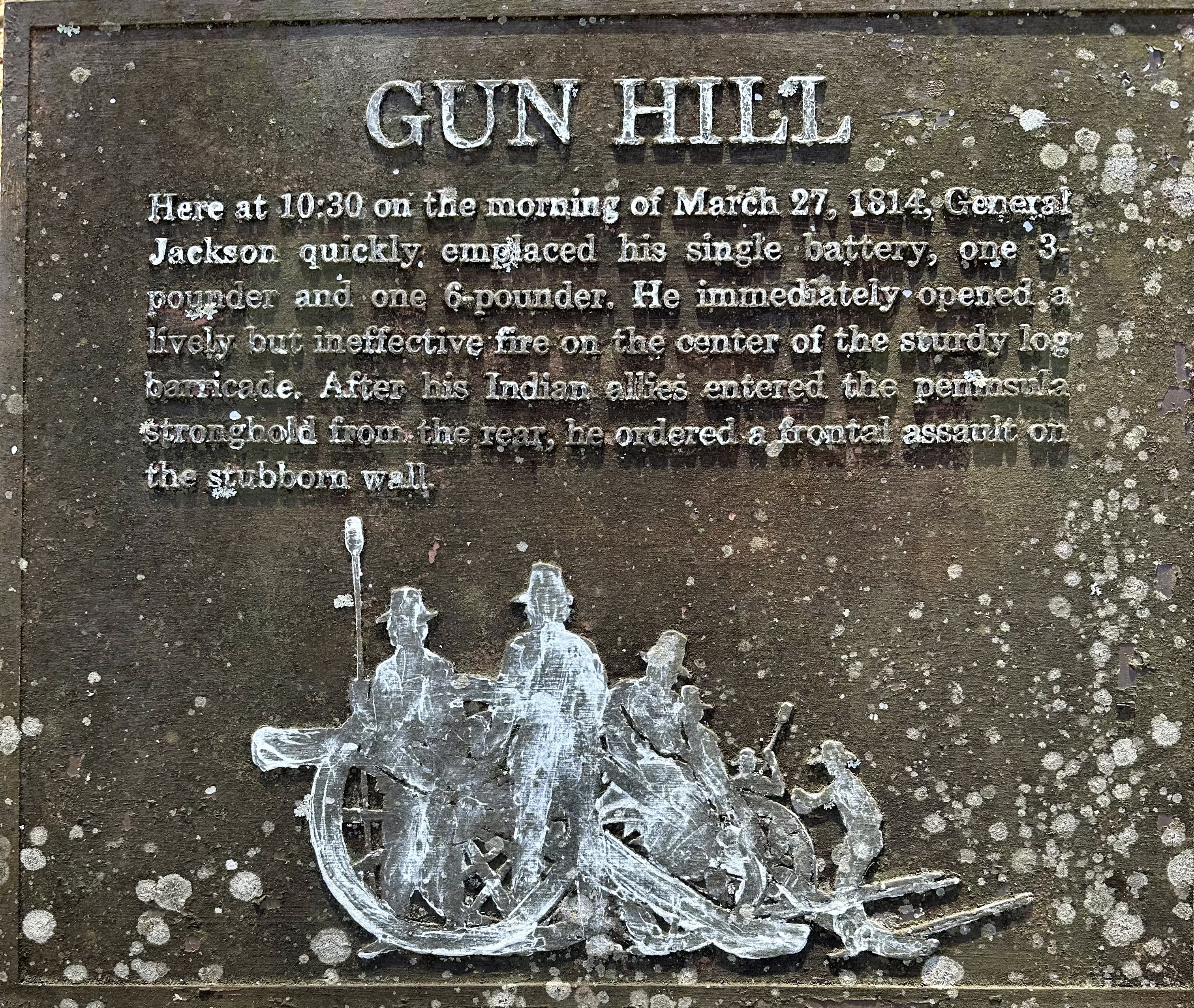
“The barricade was designed so that US forces could not make a direct assault without facing many casualties. Jackson placed two cannons high on the hill about 80 to 100 yards from the barricade. This artillery began a steady fire, attempting to knock down the defensive structure.” – NPS
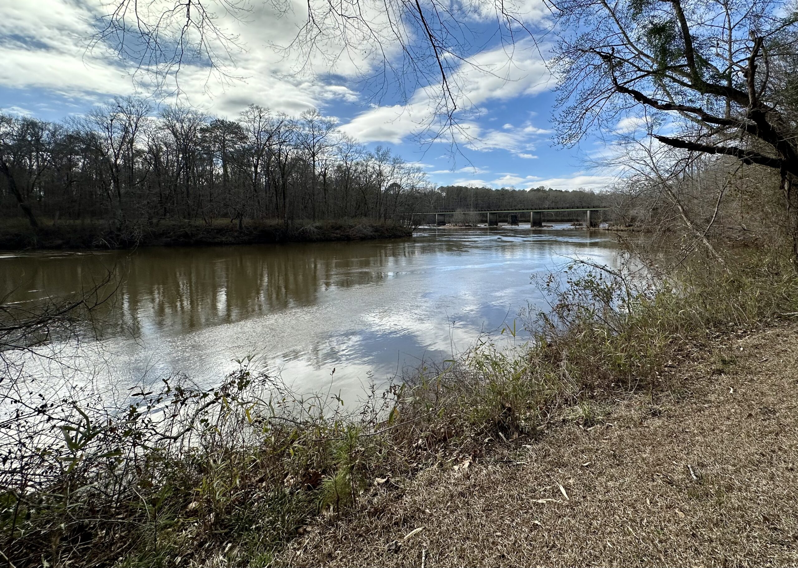
The Red Stick Creeks had positioned canoes on the river behind their village in case they needed to escape. However, “On the morning of the battle, Maj. Gen. Andrew Jackson’s Indian allies surrounded the lower portion of Horseshoe Bend. The Cherokee were positioned across the river from where you stand…” – NPS
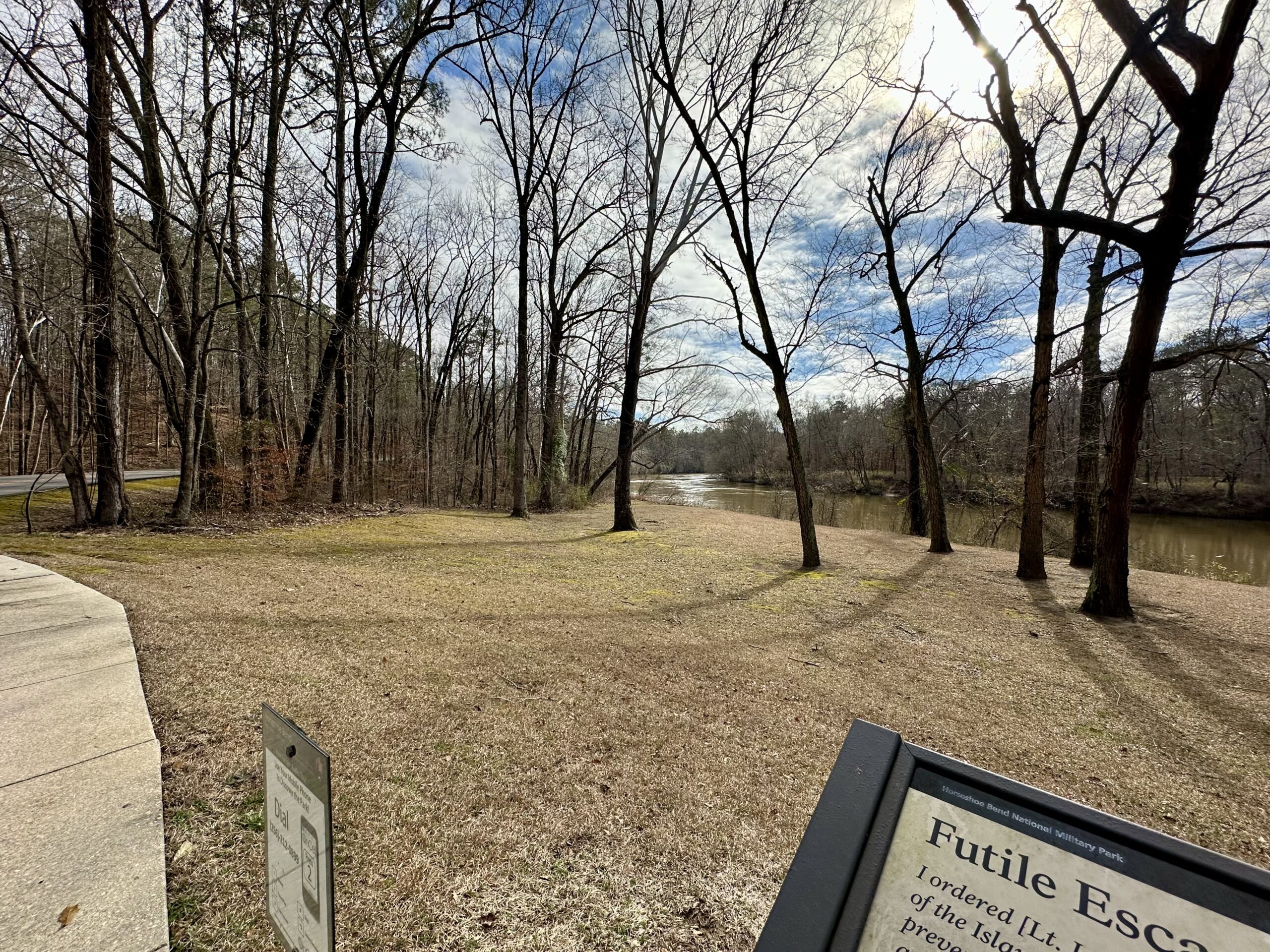
Hearing distant cannon fire, Cherokee and Lower Creek warriors swam across the river, stole Red Stick canoes from this bank, and took them back to the other side. Hundreds of Indians adorned with deer tails (Prior to Horseshoe Bend, Jackson ordered his Cherokee and Lower Creek allies to wear white deer tails in their hair to distinguish them from the Red Sticks.) then canoed across, a few at a time, to attack the village of Tohopeka behind you…” – NPS


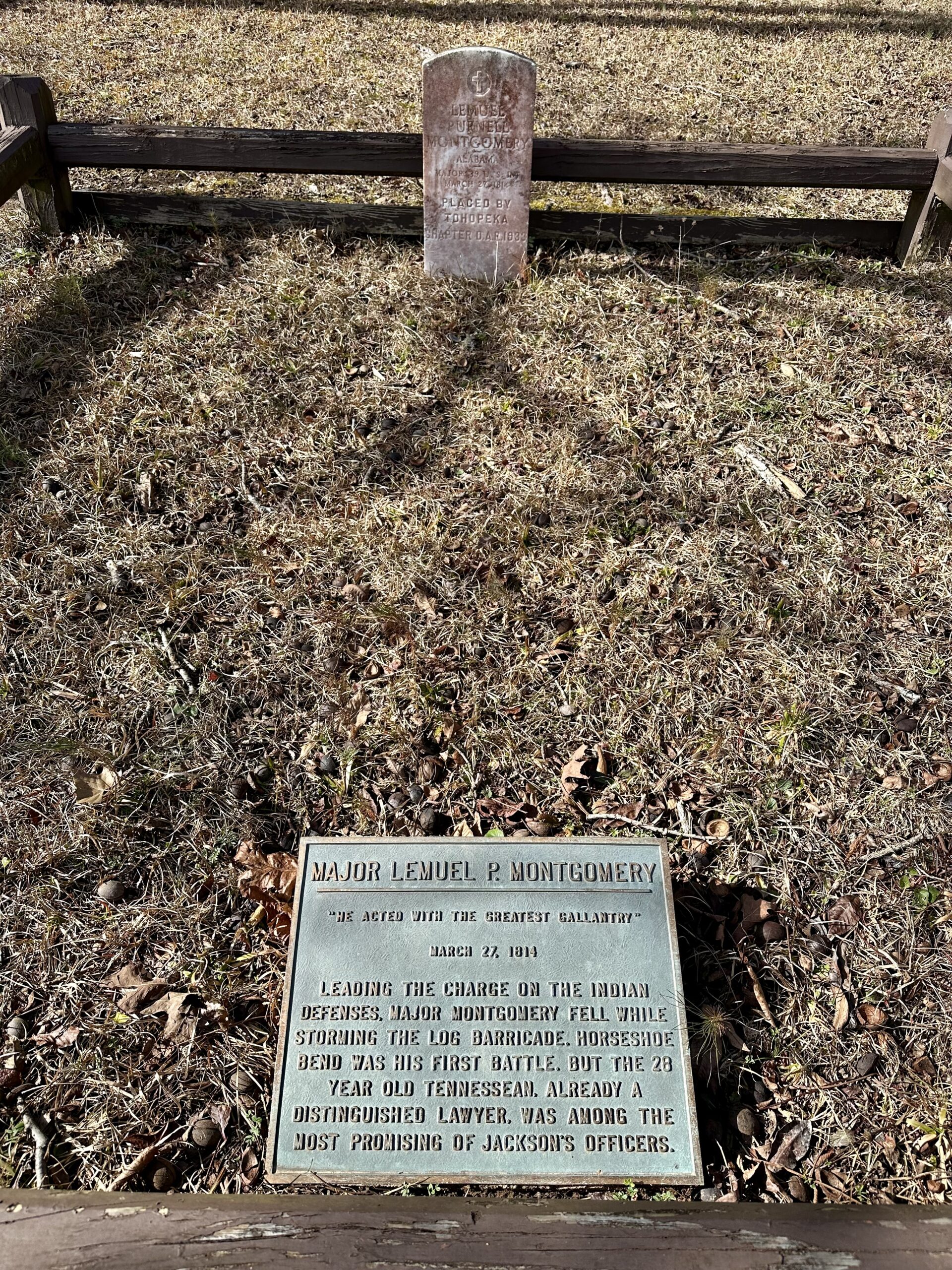
“Leading the charge on the Indian defenses, Major Montgomery fell while storming the log barricade. Horseshoe Bend was his first battle. But the 28 year old Tennessean, already a distinguished lawyer, was among the most promising of Jackson’s officers.” – Plaque on the grave of Major Lemuel P. Montgomery
“In this meadow 350 women and children sheltered in the village of Tohopeka, listened to the sounds of battle drifting back trom the barricade 1,000 yards away.
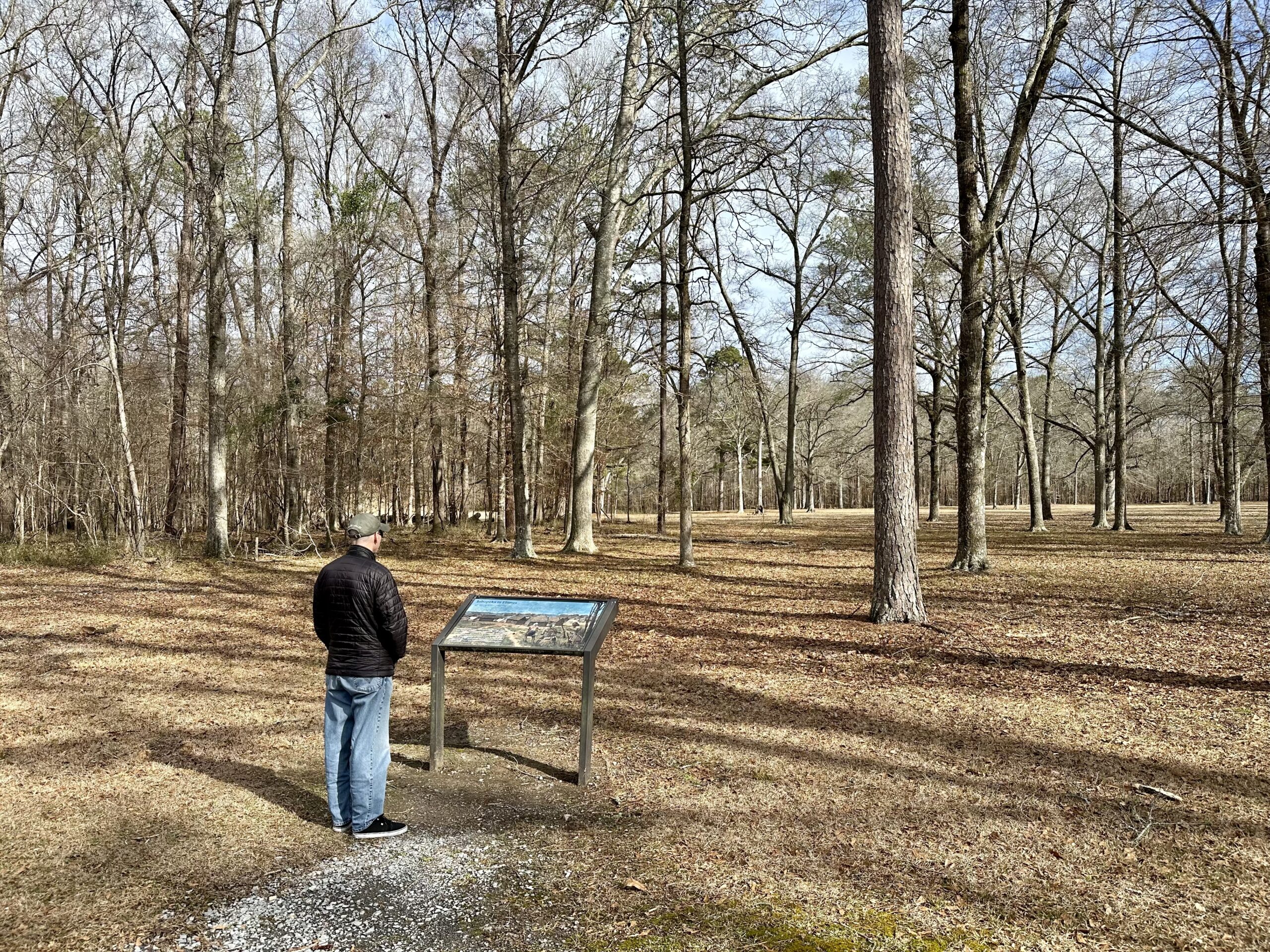
Alarmed, they watched as enemy Cherokee and Lower Creek warriors crossed the river, cutting off all hope for escape. In minutes Tohopeka, their only refuge, was in flames.” – NPS
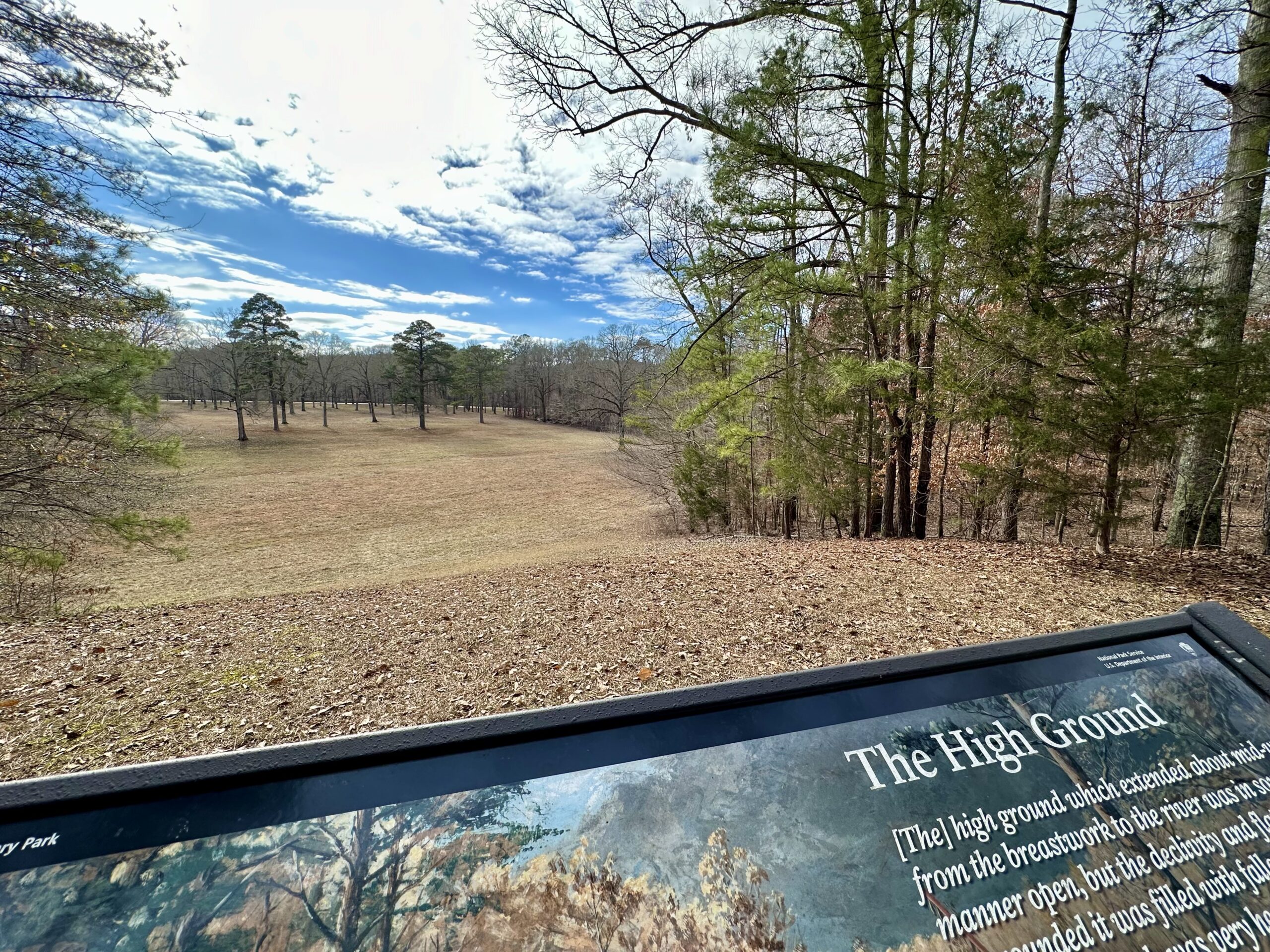
“Throughout the afternoon of March 27th this area was the scene of brutal and deadly close combat. The Red Sticks planned to use this high ground as a key battle position – their second line of defense. Here they gathered fallen trees to provide cover in the event of a fighting retreat from their first line, a log barricade…
But Cherokee and Lower Creek warriors allied with Andrew Jackson attacked them from behind, crossing the river and pushing through the village, burning huts as they passed. Once they gained this ground the Red Sticks were trapped and forced to fight to the last or attempt escape to the river.” – NPS

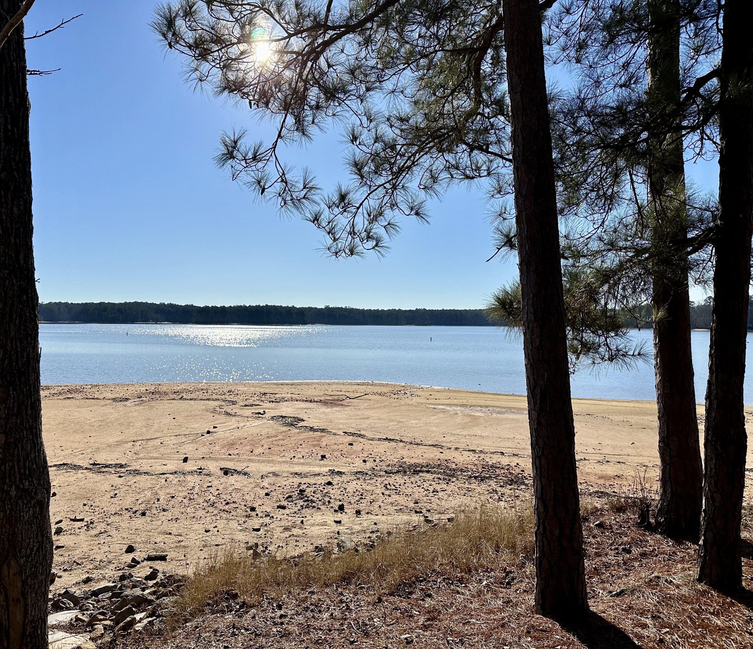
This National Military Park site felt pretty remote. We stayed at one of Alabama’s State Parks, Wind Creek State Park. This park, situated on Lake Martin, looks like a nice place to visit during warmer weather. Unfortunately, we were there for some cold and rainy days during their off-season. It was pretty empty and most things were closed. But the sun finally came out on the day we left, so we were able to see Lake Martin.
“Lake Martin is a man-made reservoir…It was formed by the construction of Martin Dam on the Tallapoosa River…Construction on Martin Dam began in 1923 and was completed in 1926, creating what was at that time the largest man-made body of water in the world.” – The Lake Martin Website
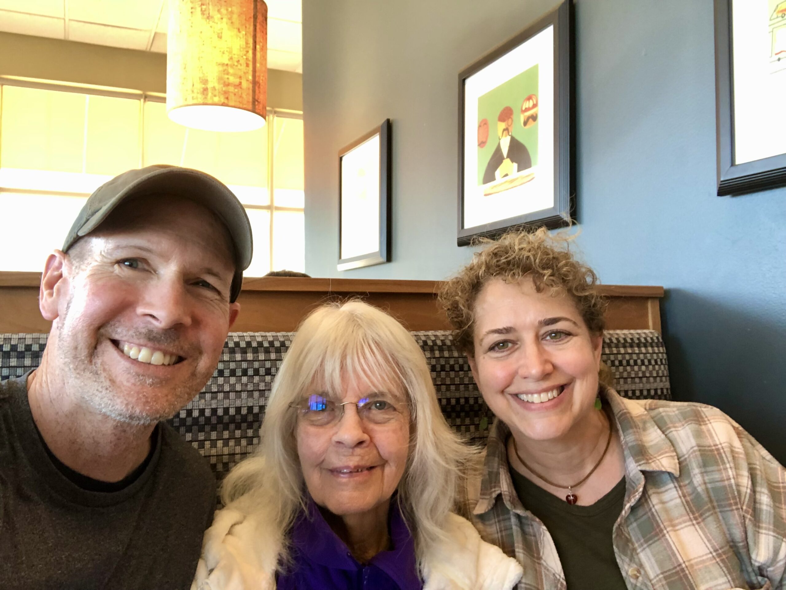
We were also pretty close to the Alabama/Georgia border, so we took a quick detour for a couple of days to see Joel’s cousin, Becky.
Finally, on our way out of Alabama and back to the Gulf Coast, we stopped at our first Buc-ee’s. This is a Texas chain of gas station and convenience stores which are known for their mascot, clean bathrooms, super large stores (it holds the record for the largest gas station in the world, as of June 2023 its Sevierville, Tennessee location), and prohibition of 18-wheelers at their locations. Buc-ee’s can be found throughout the southeast.

While trying to decide what to get at the deli counter we met Darryl (sorry if I spelled your name wrong), who not only helped us pick out a delicious sausage roll, he also bought them for us. (Thank you, again!!)
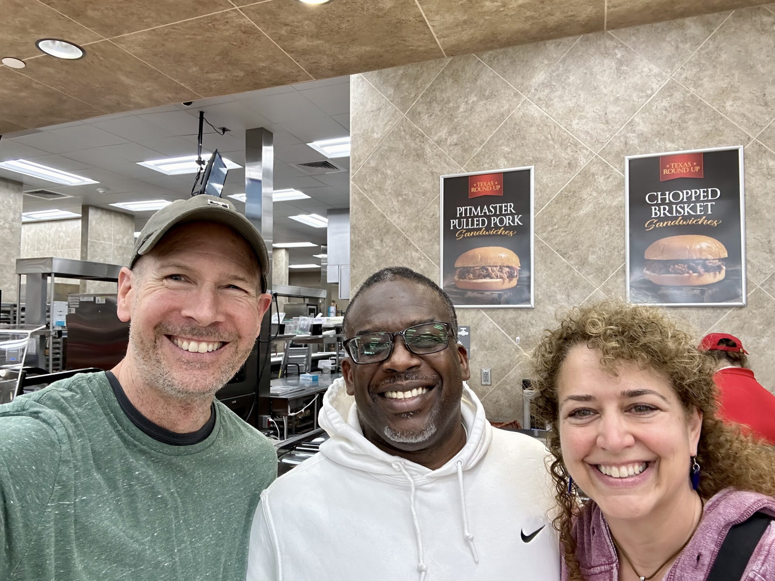
A great ending to this little detour in our current adventure.

Jerilyn and Joel…
Very interesting to see and read about Horseshoe Bend National Park in Alabama. Beautiful area but a sad history with the Creek War. Interesting reading about Andrew Jackson – our 7th President. Continue your adventures. Love
Although this war was over 200 years ago, it is heartbreaking to read. I’m glad you were able to visit with family along the way and Dad is feeling better. Thanks for sharing your adventures, JJ.
Thanks for sharing your adventures with us. This one breaks my heart but also a reminder that wars will
Thanks for sharing your adventures with us. Even though the war was over 200 years ago it is a heartbreaker. Glad you were able to see family along the way. Love your journey, JJ.
Thanks for sharing this war history that happened about 210 years ago between Jackson’s infantry men/ Indian allies and the Red Stick Indians at the Horseshoe Bend in the state of Alabama…..history is always interesting! Globally, men have always fought against each other for centuries … omnipresent ….. and sadly might never cease!!