

We began our exploration of Georgia’s State Parks at Paynes Creek Campground, about an hour northeast of Atlanta. This was originally a campground developed and operated by the U.S. Army Corps of Engineers, however, in January, 2021, it was leased to Hart County, GA, and is no longer managed by the Army Corps.

“This campground is located on the Tugaloo River arm of Hartwell Lake in Hart Co., Georgia. Paynes Creek offers a total of 44 sites with water and electric hook-ups (50-amp service). 37 of those sites are waterfront!” – Hart County Chamber of Commerce

“Hartwell Lake is a man-made lake bordering Georgia and South Carolina on the Savannah, Tugaloo and Seneca Rivers…Surrounding vegetation allows for plenty of shade, and the 962 miles of shoreline provide numerous swimming beaches, picnic areas and boat ramps.” – US Army Corps of Engineers


“Boating, fishing, swimming, water skiing and jet skiing are popular activities on Hartwell Lake. Visitors also enjoy exploring local hiking and biking trails.” – US Army Corps of Engineers

It was still a bit muggy when we were there since we arrived before cooler Fall weather set in. But it was very peaceful without the summer campers – just us and the sounds of nature. We met another couple who were camping next to us. They told us they are from Georgia and it is their favorite campground.

Our second stop was High Falls State Park, about an hour south of Atlanta. “Located northwest of Macon, High Falls State Park is named for tumbling cascades on the Towaliga River.” – Georgia Dept. of Natural Resources

We chose this park because it was close to one of Joel’s cousins that we wanted to visit. Becky is a self-taught painter (those are her paintings on the wall) who moved here recently with her two dogs. We’ve been to visit her before but this time she reminded us so much of Joel’s mom – both in looks and mannerisms. It was great to see her.

The morning after our visit we took a stroll around the park. We didn’t plan to go very far but it was nice out and we just kept walking.

We were given a map when we checked in to the campground. The map indicated that the falls were about two miles away and we didn’t plan to hike that far. But after a fairly short stroll through the campground we started to hear rushing water nearby, so we followed the trail.

“Visitors can hike along the rivers edge and through hilly forest to the remains of a power plant foundation.” – Georgia Dept. of Natural Resources


“The remains of the bridge on Old Alabama Road still partially stand to offer views of the shoals below the dam. The bridge, constructed in 1890, was mostly destroyed in the flood of 1994.” – Wikipedia

“The park’s trails offer visitors scenic views of the largest waterfall in middle Georgia on the Towaliga River, cascading over 135 feet (41 m) to the base.” – Wikipedia


“High Falls has a rich cultural history. The Towaliga River derives its name from the Creek (Muscogee) Native Americans, and can roughly be translated as “place among the trees, old place or scalp place.” Later it was home to a bustling industrial town, through which a stagecoach route “of 18 to 25 gaily painted coaches” carried the likes of Martin Van Buren, Marquis de Lafayette, Henry Clay and countless other travelers.” – High Falls State Park


As we were walking back to the campground the sunlight lit up a spider spinning a huge web in a nearby tree. It was both cool to watch and icky-spooky.


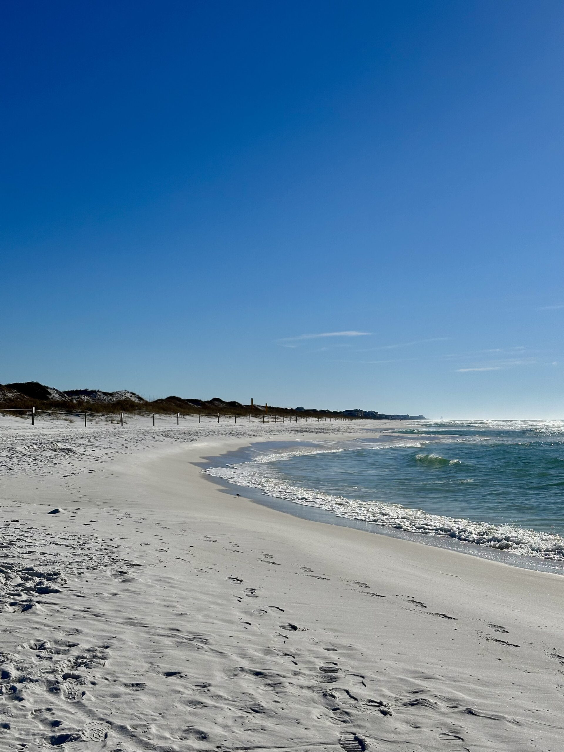
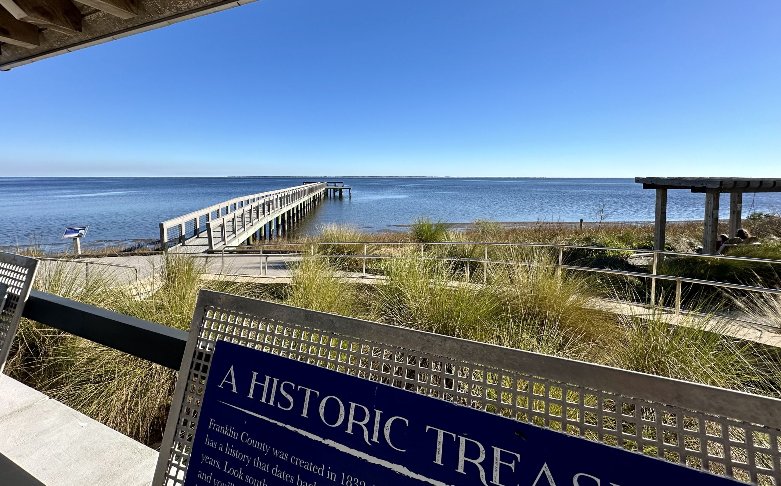
The last state park we explored is Reed Bingham State Park in southern Georgia. “Reed Bingham is less than six miles from I-75, making it a relaxing stop for travelers. It was named for Amos Reed Bingham who was instrumental in having the park established.” – Georgia Dept. of Natural Resources

“Visitors to this pretty park usually see abundant wildlife, including species such as gopher tortoises, yellow bellied sliders and indigo snakes. Nesting bald eagles are often seen in winter. American alligators are often seen sunning along the lake’s edge.” – Georgia Dept. of Natural Resources
We didn’t see any alligators here but we were lucky enough to see Georgia’s official reptile, the Gopher Tortoise.


There were two tortoises in a den right next to our campsite. Rangers had put flags around the den to make sure campers didn’t step in the hole.

“During winter, thousands of black vultures and turkey vultures, roost in the trees and soar overhead.” – Georgia Dept. of Natural Resources
We’ve seen vultures circling out in the deserts in the southwest, but usually only in small groups of 3-5 at a time. It was a strange sight to see so many large vultures circling overhead.


“Before European settlement, longleaf pine forest dominated as much as 90,000,000 acres (360,000 km2) stretching from Virginia south to Florida and west to East Texas…In the late 19th century, these virgin timber stands were “among the most sought-after timber trees in the country.” This rich ecosystem now has been relegated to less than 5% of its presettlement range due to fire suppression and clear-cutting practices” – Wikipedia

“Efforts are being made to restore longleaf pine ecosystems within its natural range.” – Wikipedia


Georgia has nearly 50 State Parks. So far we’ve enjoyed every one we’ve visited and look forward to exploring some others in the future.
Hello Lovebirds!
Great parks you visited in Georgia and a pleasant visit with Joel’s cousin, Becky.
You should be in the Guinness record of having visited the most number of national state parks in the USA!
We know you’re probably on your way back home to the sin city after some precious times with your parents in Florida.
This past week was a very busy social time for me. In addition, my nephew and her girlfriend visited us from Virginia and flew back home yesterday.
Happy travels,
Rod and Sasha