We made several trips October through December, 2023, to explore the Mojave National Preserve. Most people only see a small part of The Mojave Preserve while driving along the I-15 or I-40 highways between Nevada, Arizona and Southern California. However, there is so much more to see out here. “At 1,542,776 acres (6,243 km2), within the contiguous United States it is the third largest unit of the National Park System and the first largest National Preserve.” – Wikipedia
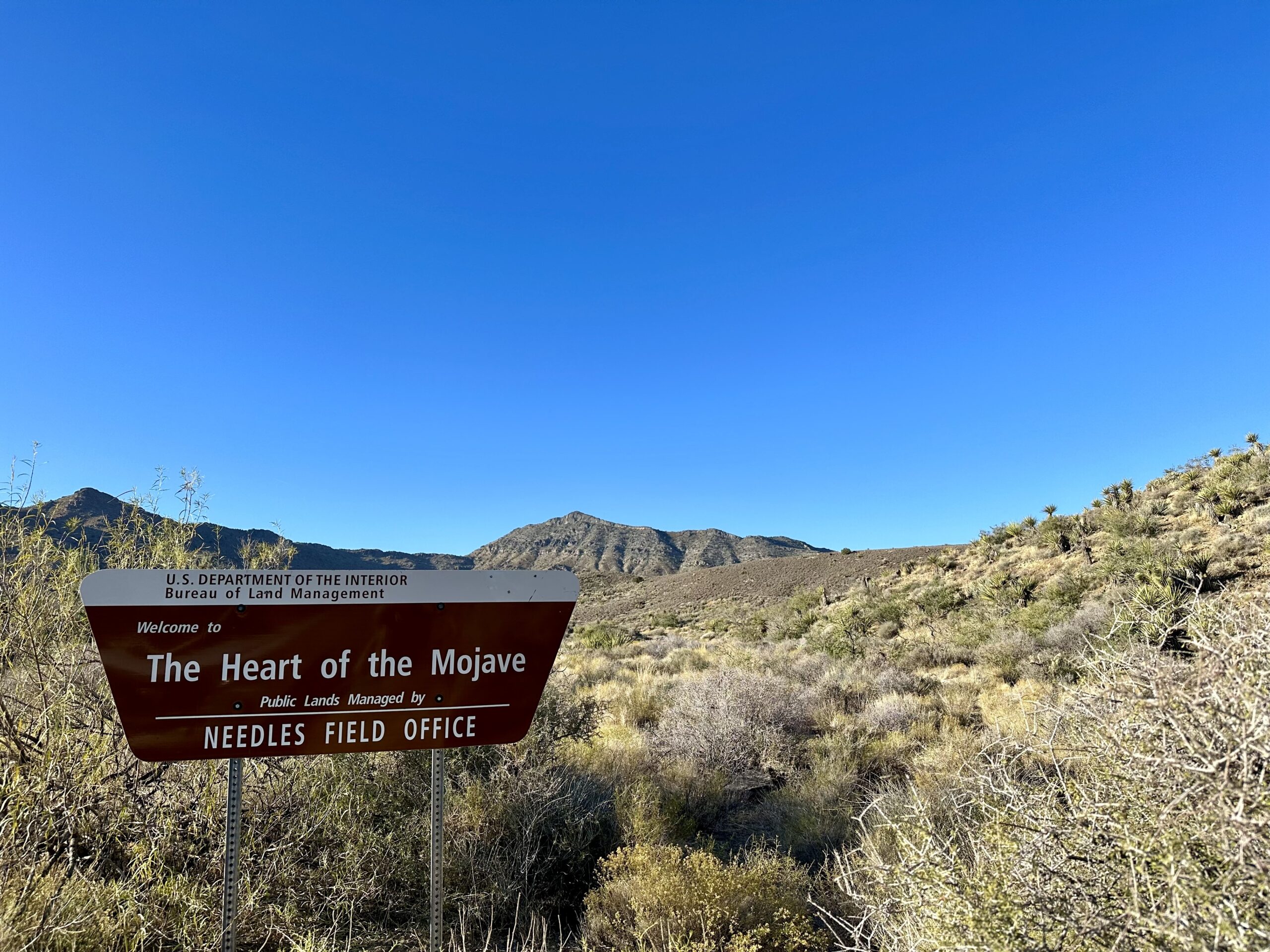
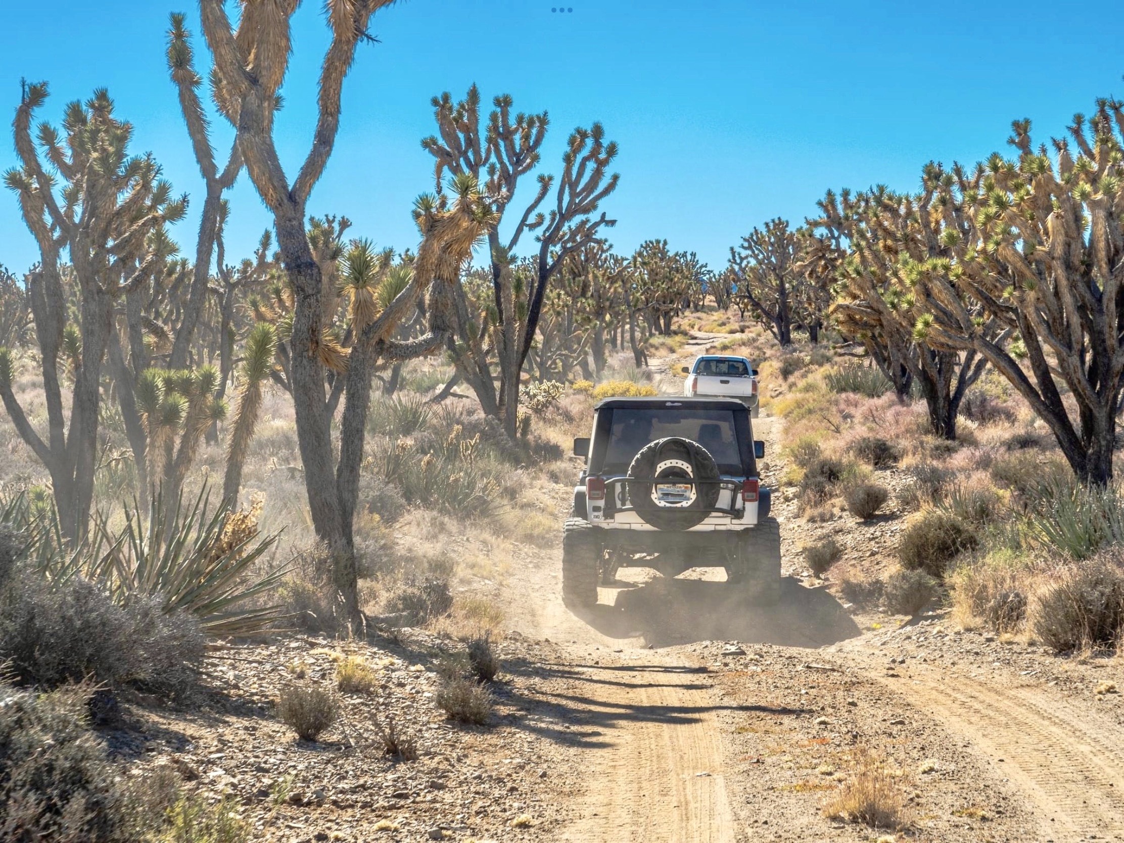
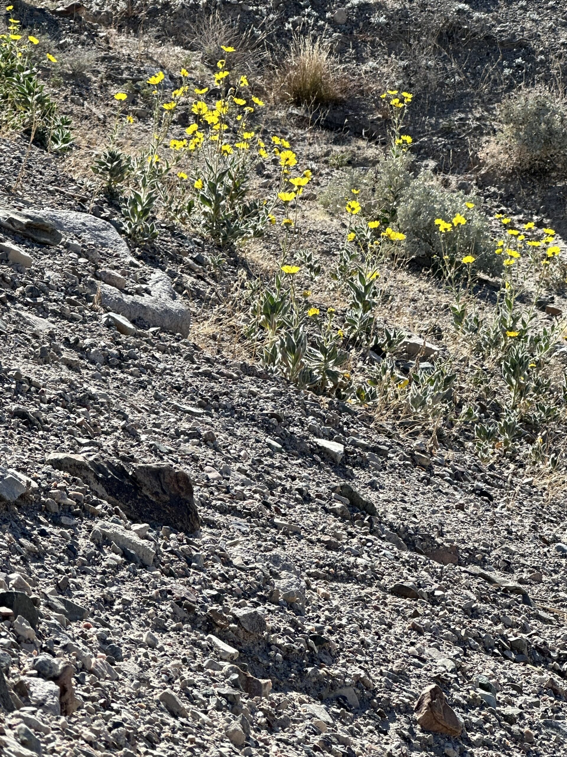
In our opinion, the best way to see this area is with a 4-wheel-drive vehicle. We have been off-roading out here for over 30 years and while it is dry and desolate, there is so much beauty and amazing life all around.
We were in search of old mining cabins, which can be found in many remote spots around the Mojave Desert. “Small prospectors…generally made very little money, the biggest problem being the costs of transporting supplies to such remote locations. “Boom-or-bust” mining was the usual approach: As soon as a strike played out, miners moved on, leaving ghost towns in their wake.” – TheMojaveDesert.net

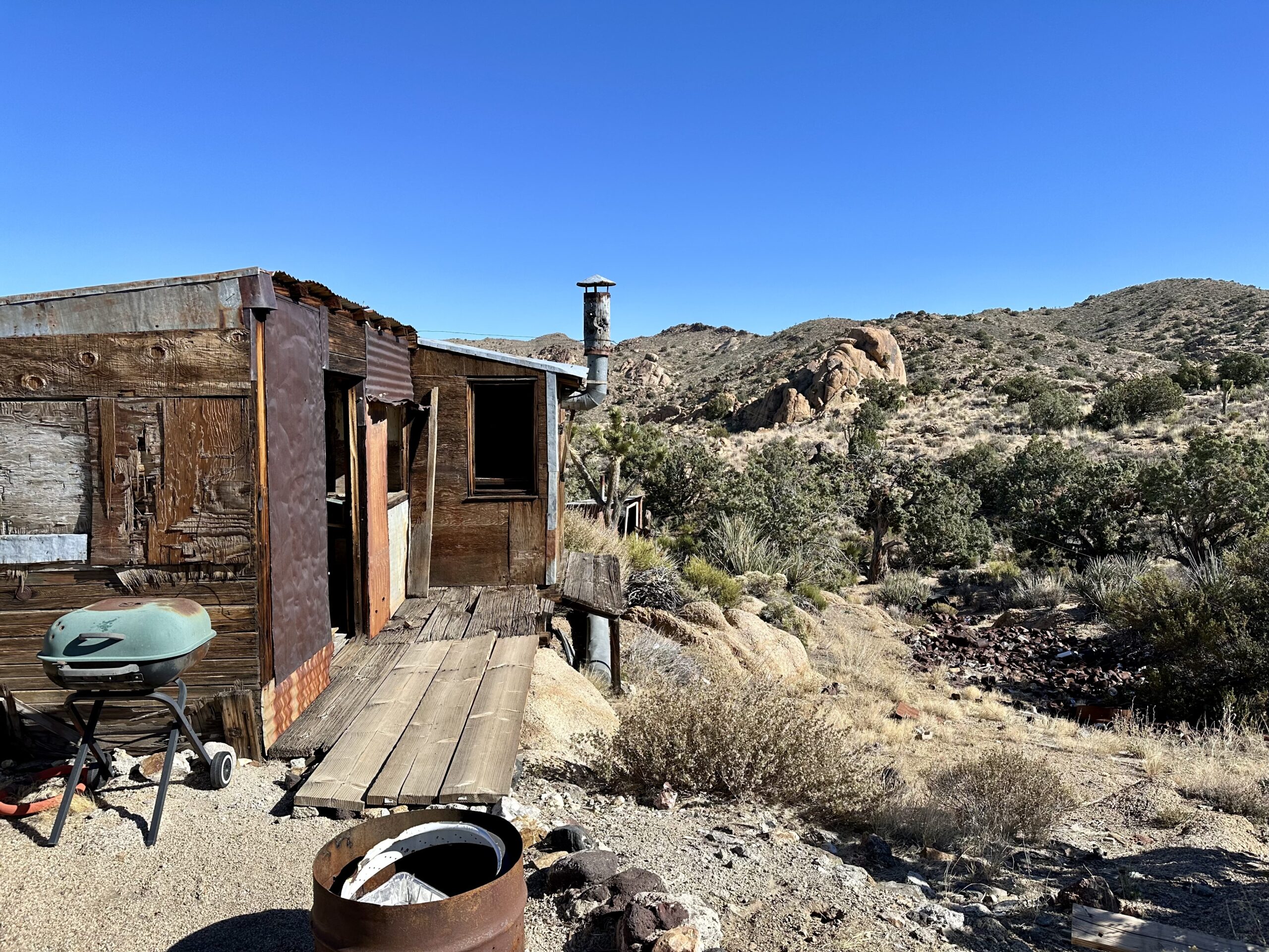
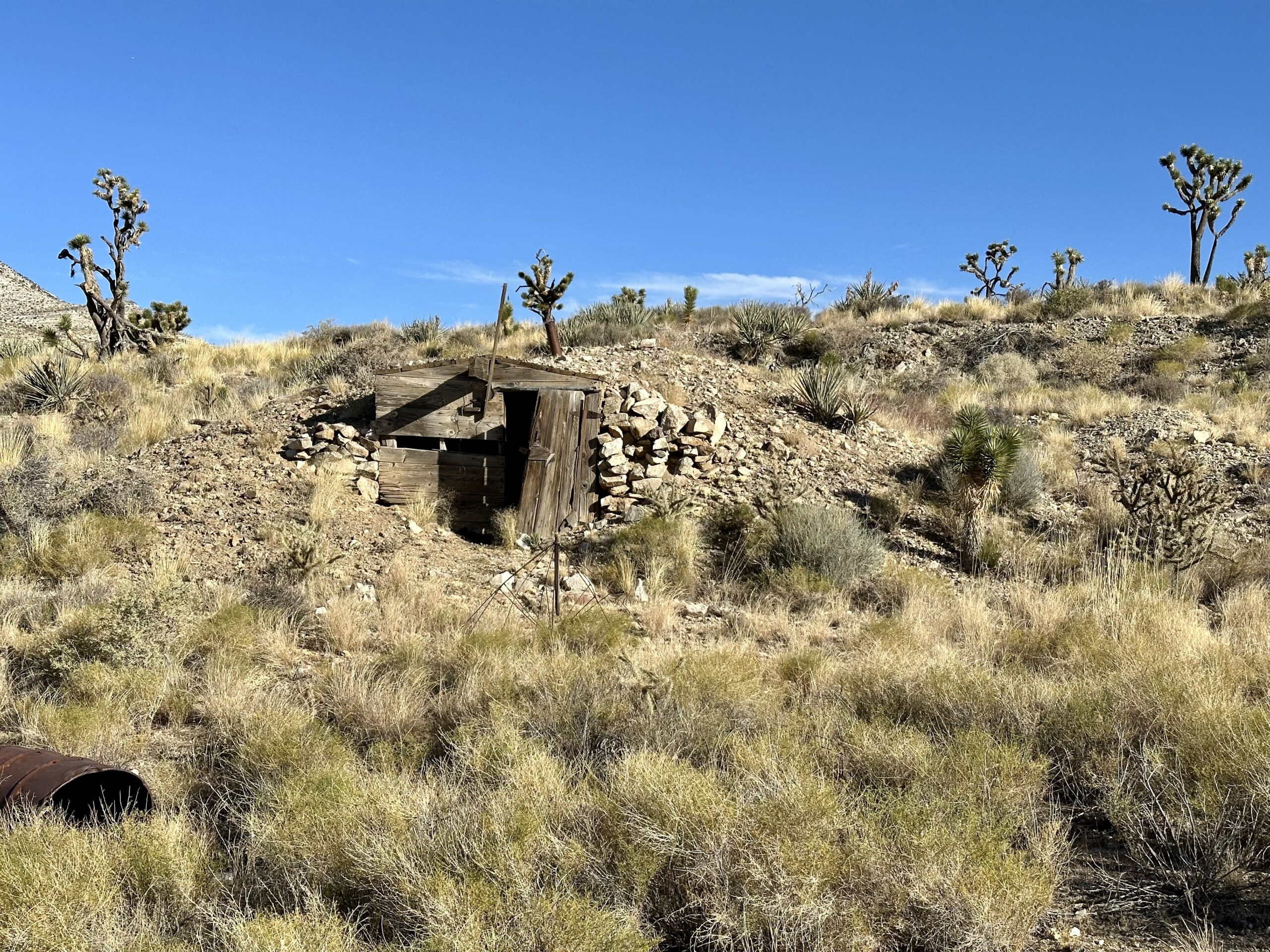
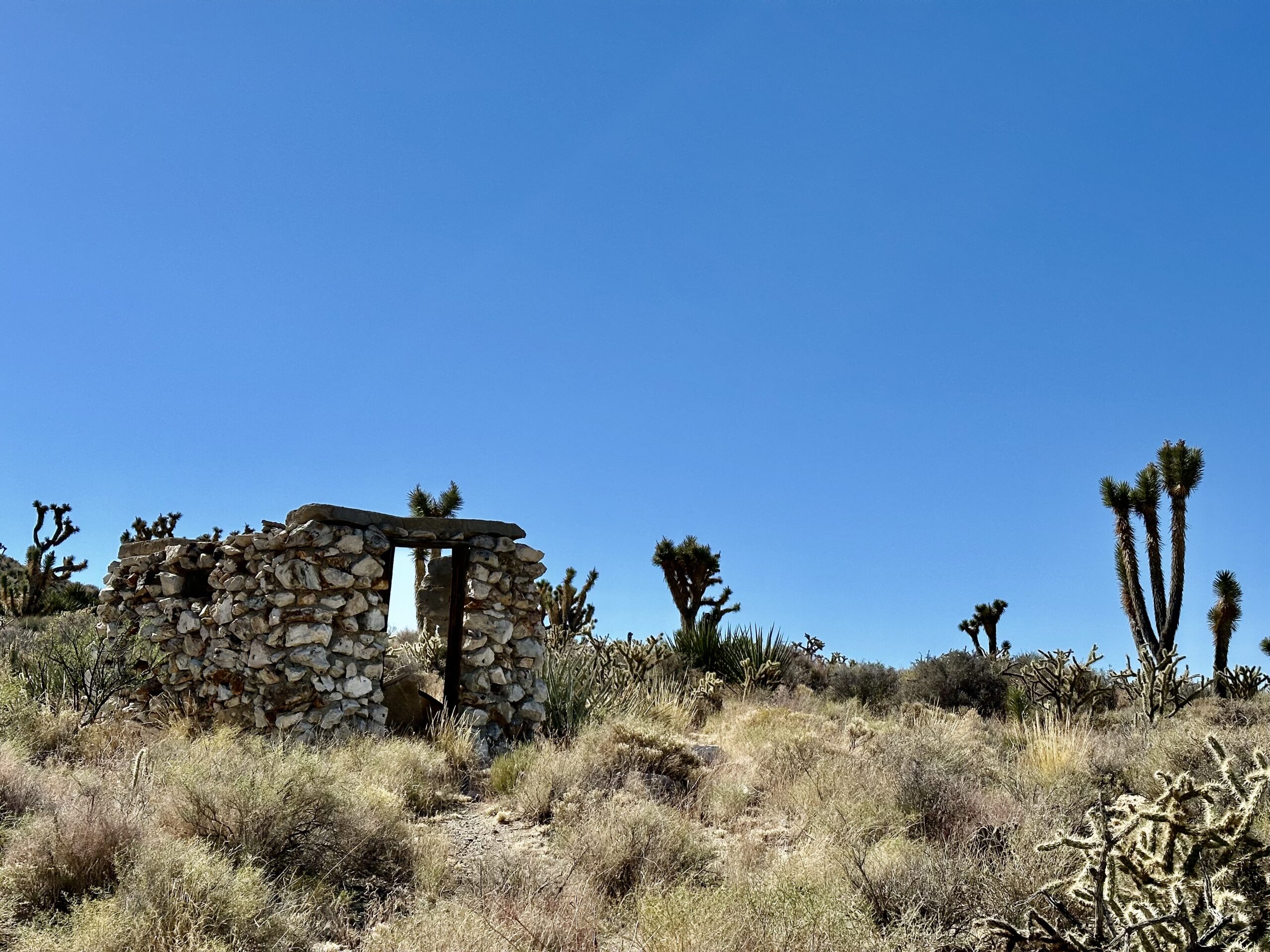
The first cabin we came across was tiny. This old mining shack probably served as a storage shed and place to take shelter out of the elements. It was built into the hill and most of the interior is demolished now.
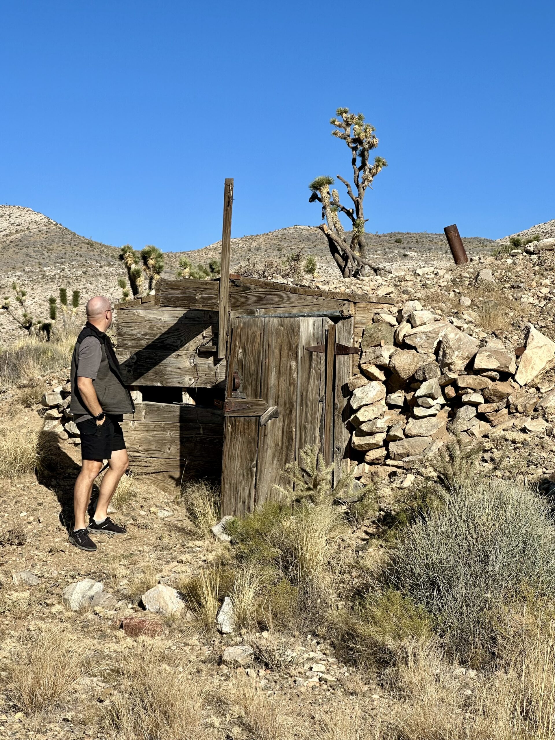
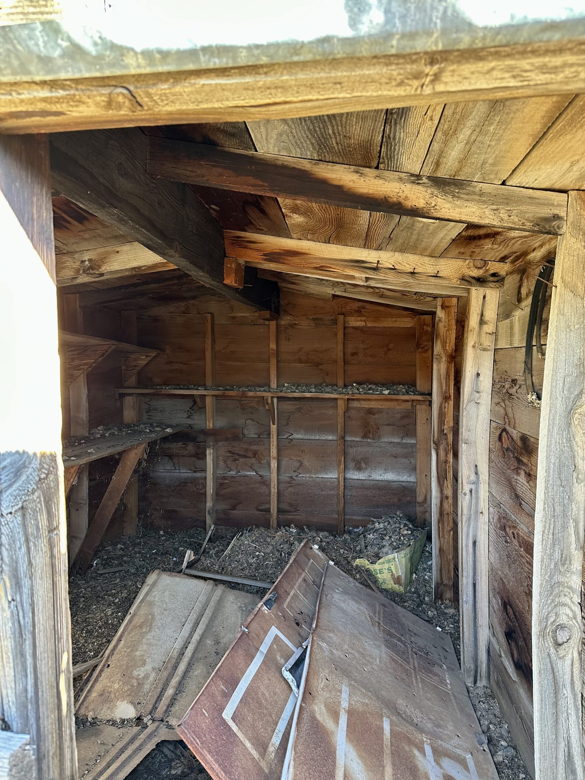
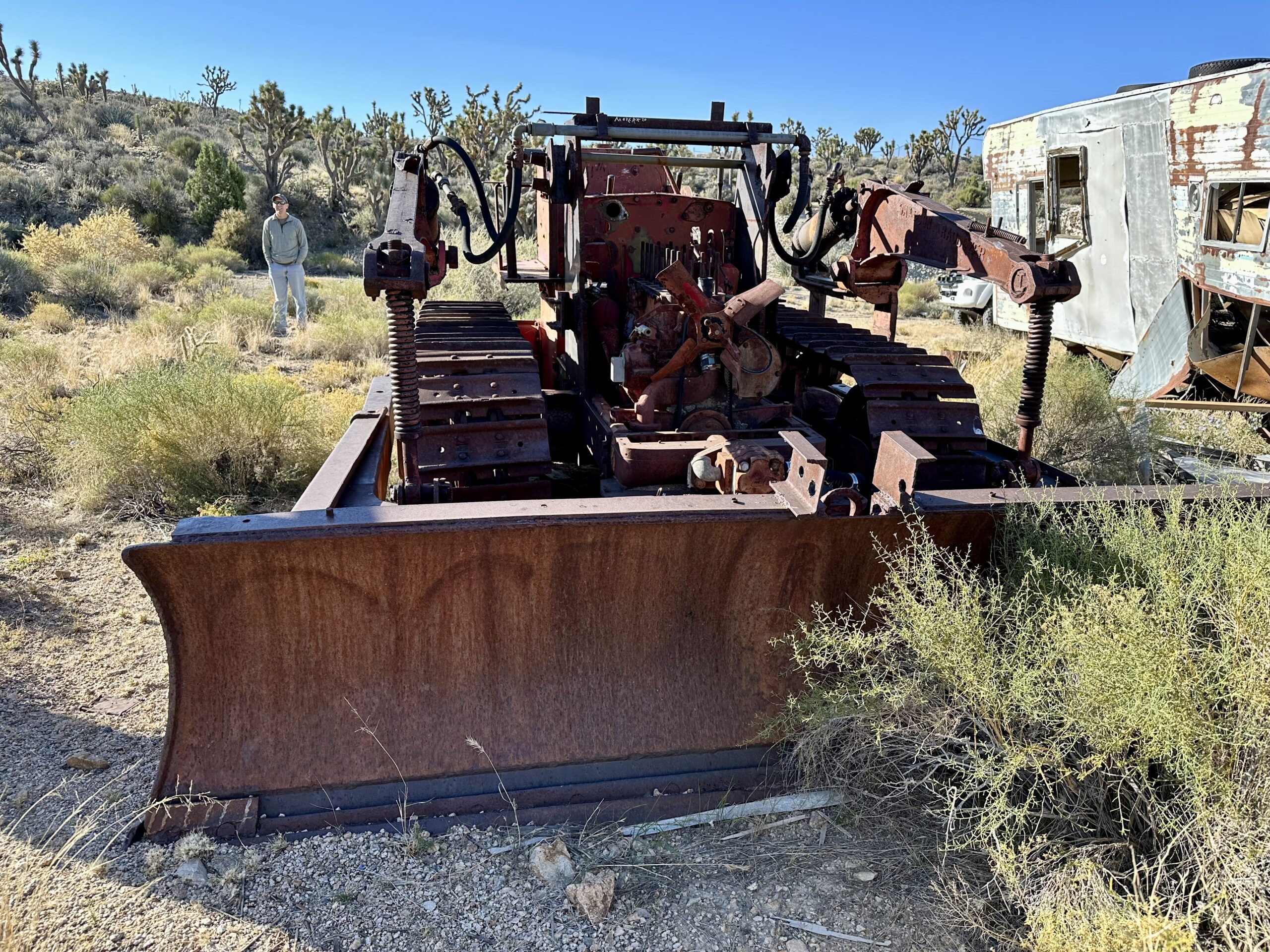
Near the small cabin was an old rusted bulldozer and dilapidated RV trailer.
We drove a couple of minutes down the trail and came upon an old school bus. This is not the famous Mojave school bus that was on the Old Mojave Road for many years (read more about that one in my post on Goffs Schoolhouse). Nope, this one was just another piece of history sitting out here. I always wonder how, and why, things like this are out here.

The first mining camp we came upon had several cabins still standing clustered together.

This mining camp also had a very unique cabin that appears to have started life as an old RV trailer. The cabin is built on the side of the RV and has a door connecting the two together.
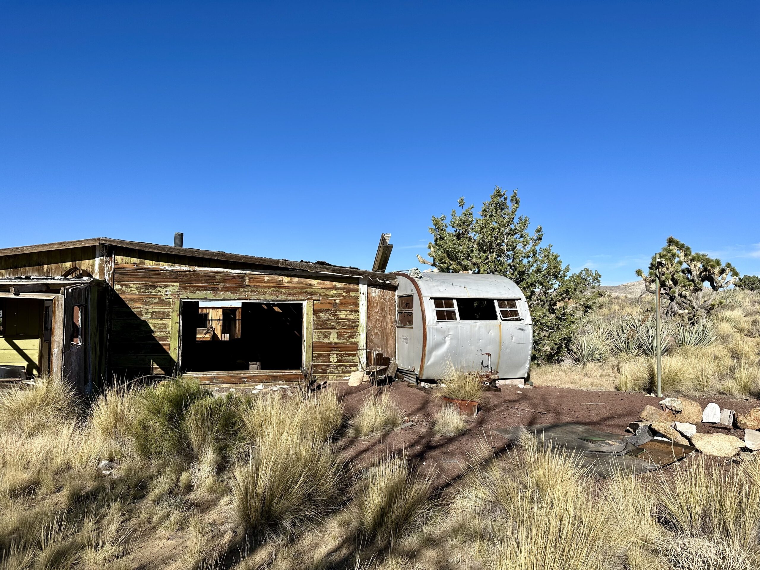
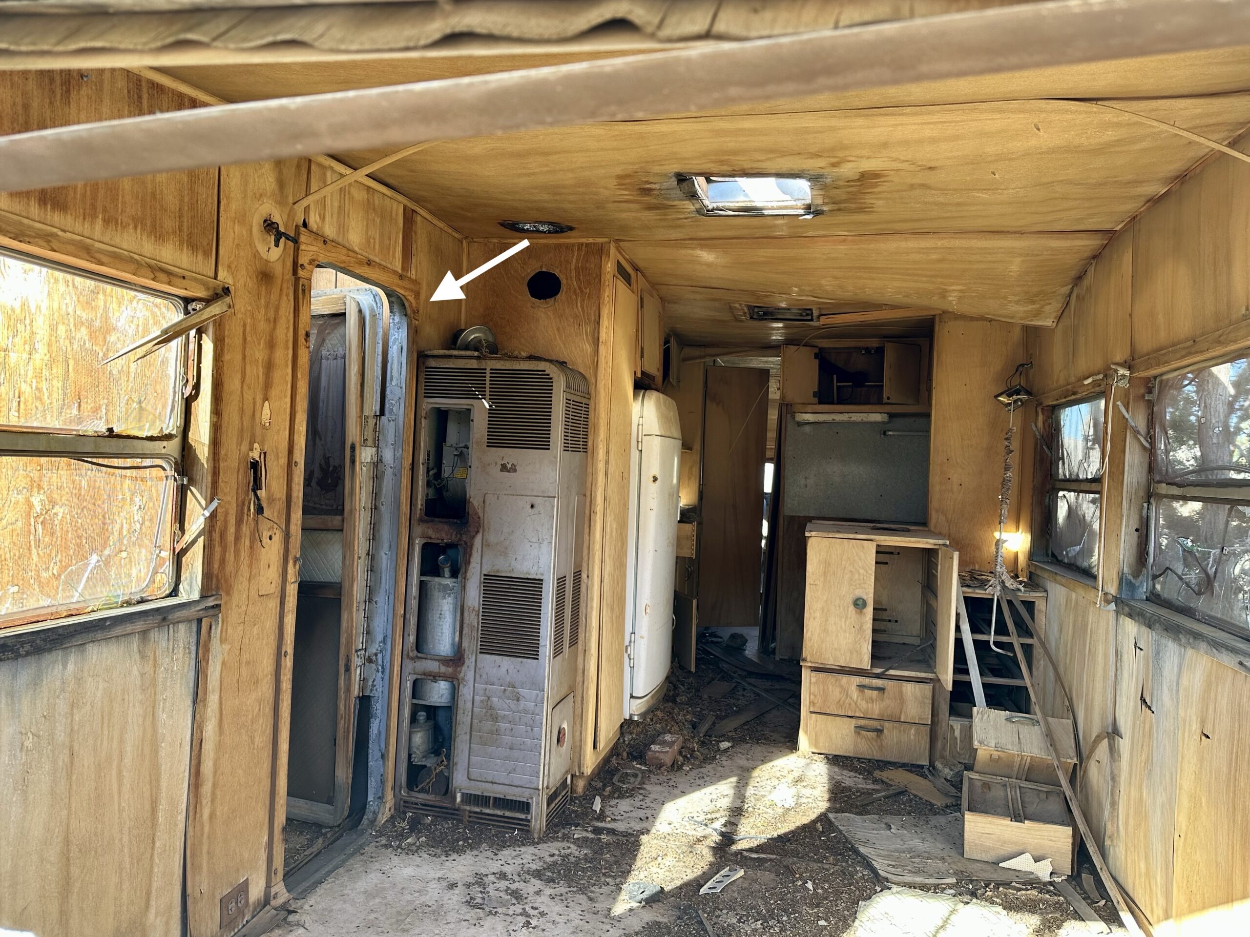
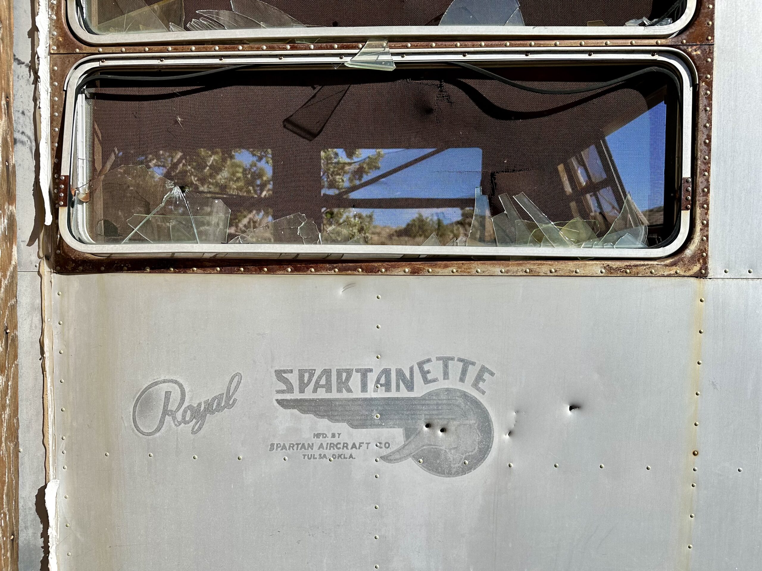
We looked up the manufacturer of the trailer. It appears to have been built In Tulsa, Oklahoma, sometime in the early 1950s.
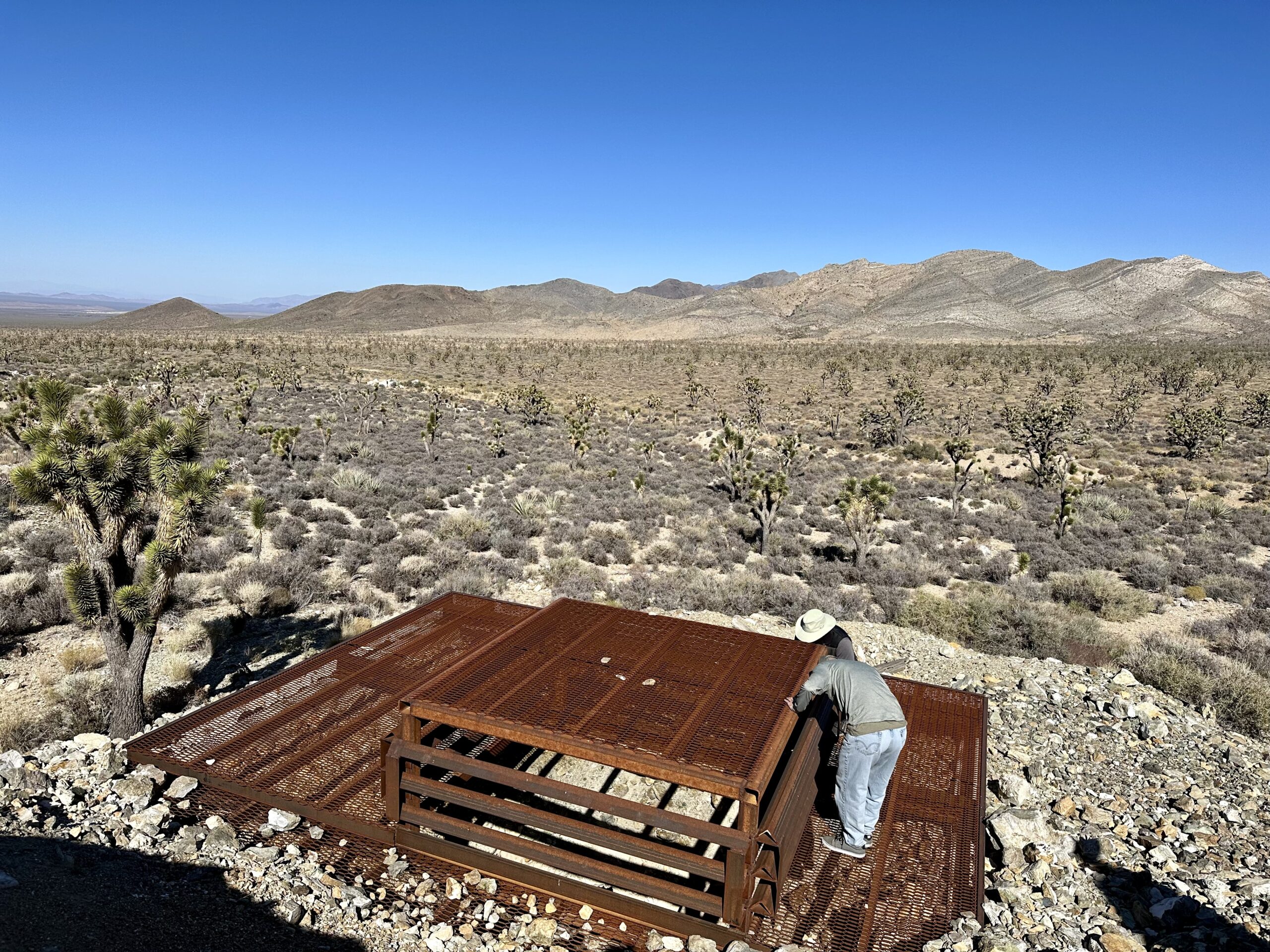
When you see an old cabin in the desert, you often find the entrance to an old mine nearby. Many old mines have been blocked off or covered up for safety. This one appears to have been filled in, though we still kept our distance.
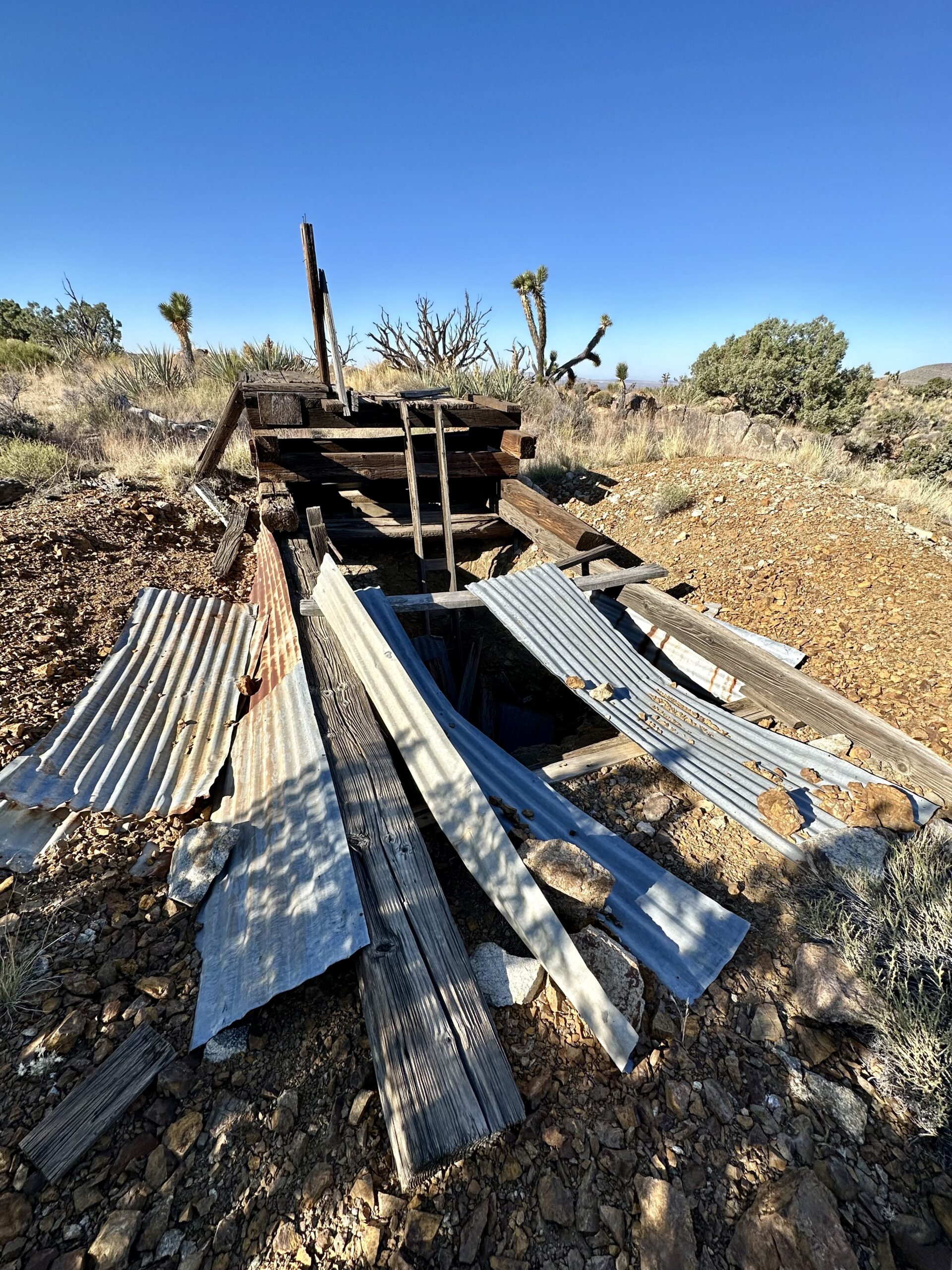
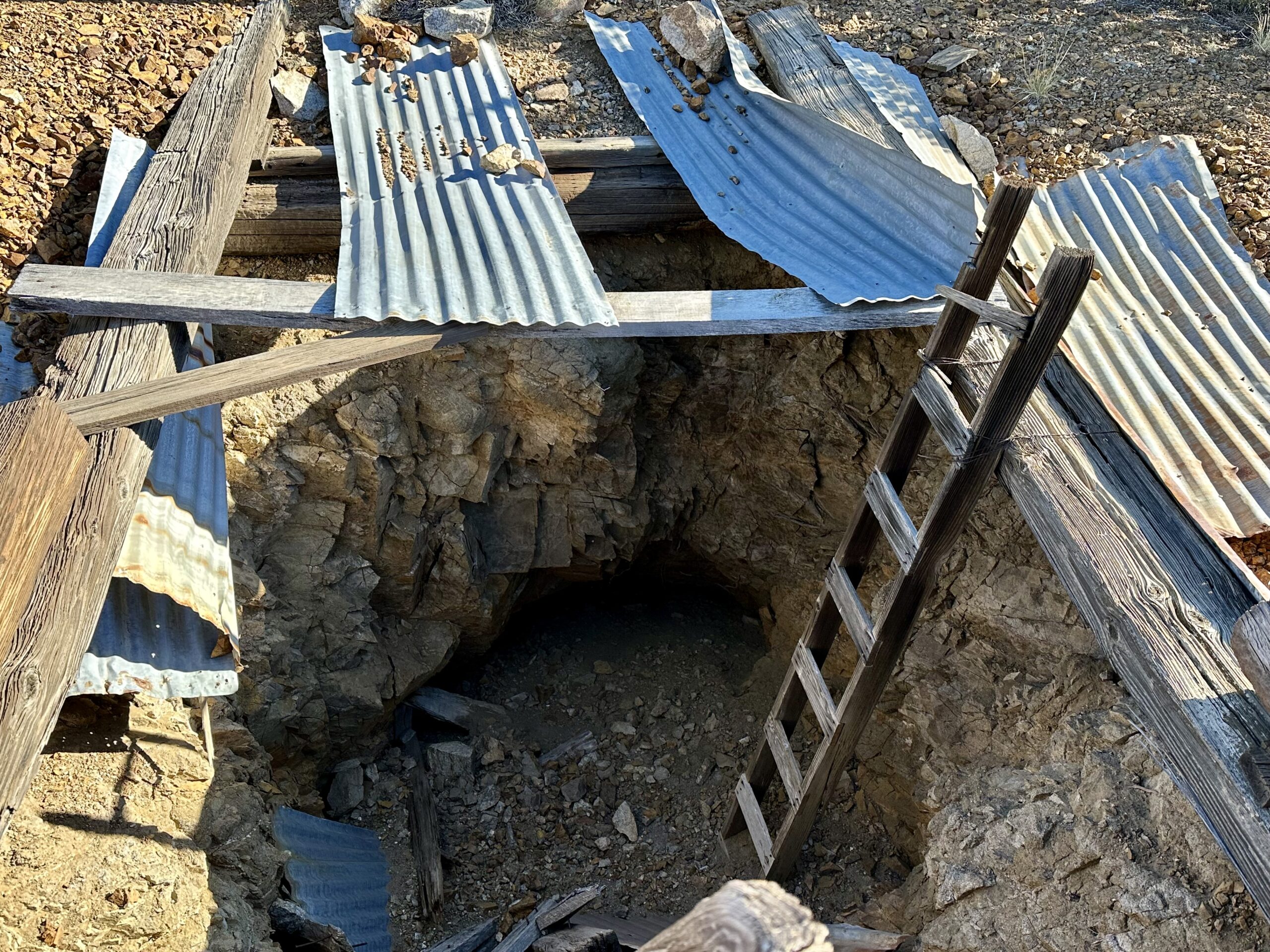
We have entered some of the mines but have never gone very far. Neither of us is claustrophobic but spelunking is not our hobby. And, really, it isn’t safe to go into abandoned mines. Here is a poster from the National Park Service about the dangers found in mines.

We came across another unique cabin out here at another mining camp. It was a duplex! Two cabins built together under the same roof. Two separate living spaces, two front doors, a common front porch and a wall inside separating the two.
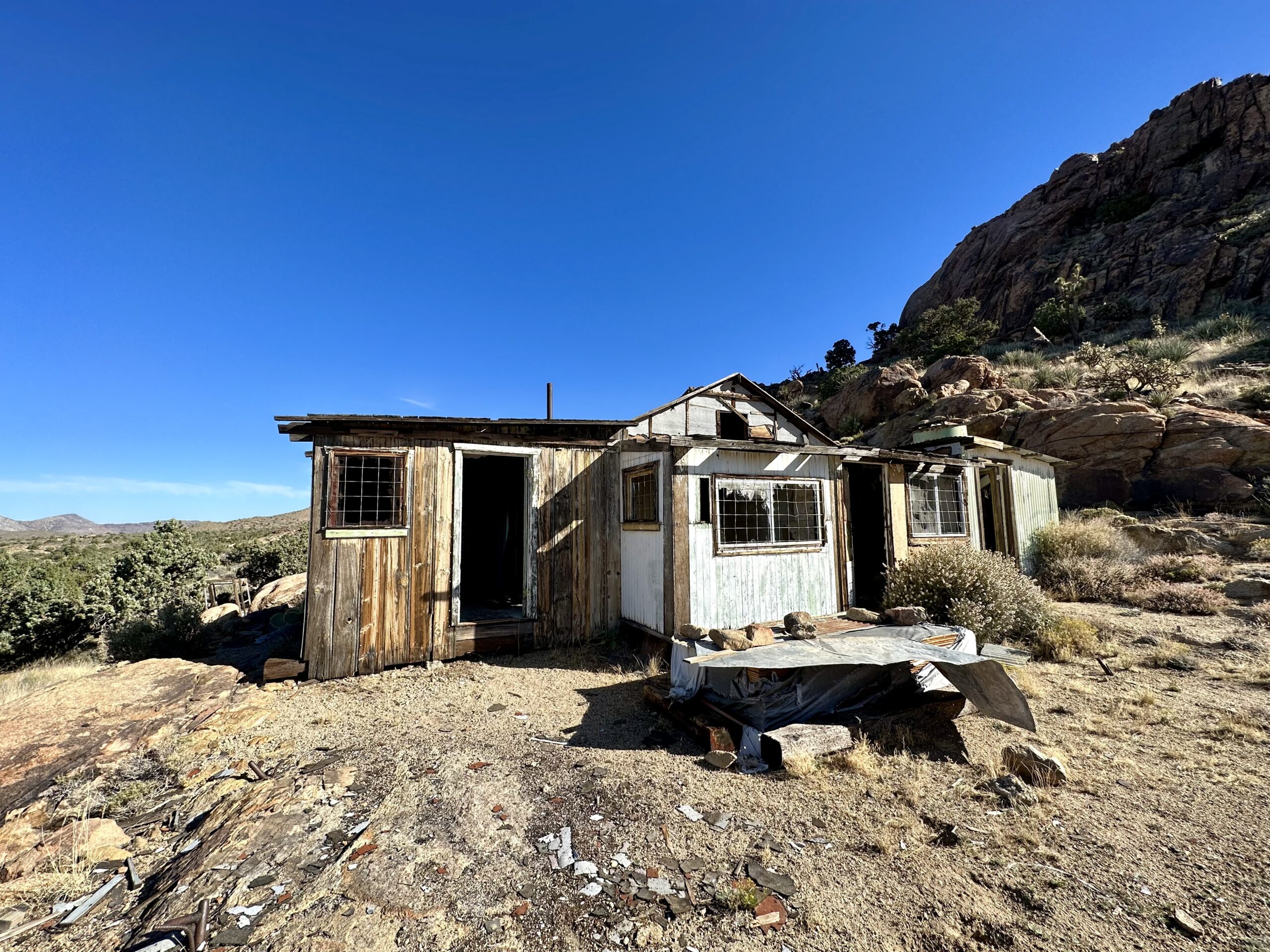
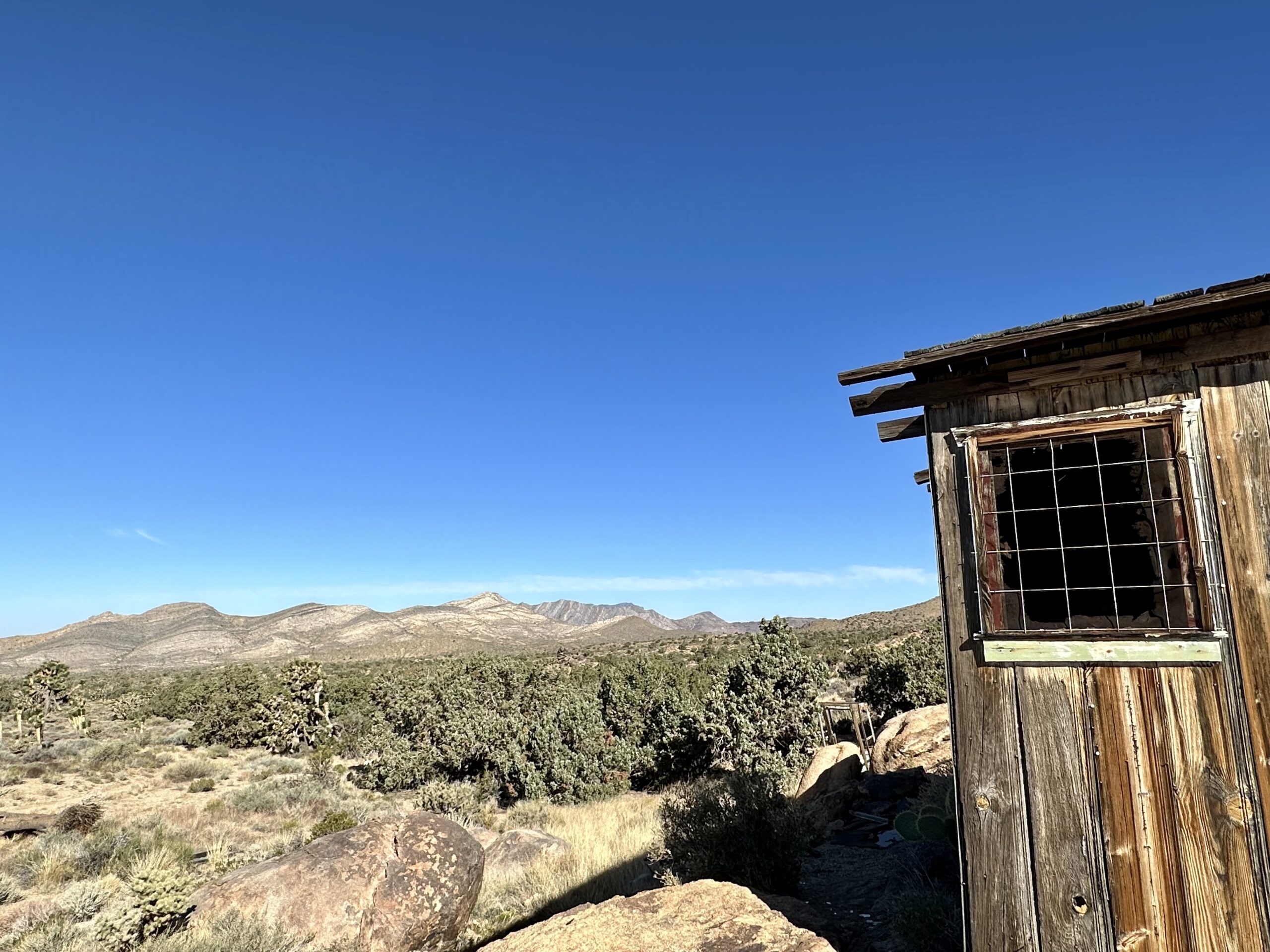
The duplex cabin was up on a hill with beautiful views of the surrounding valley.
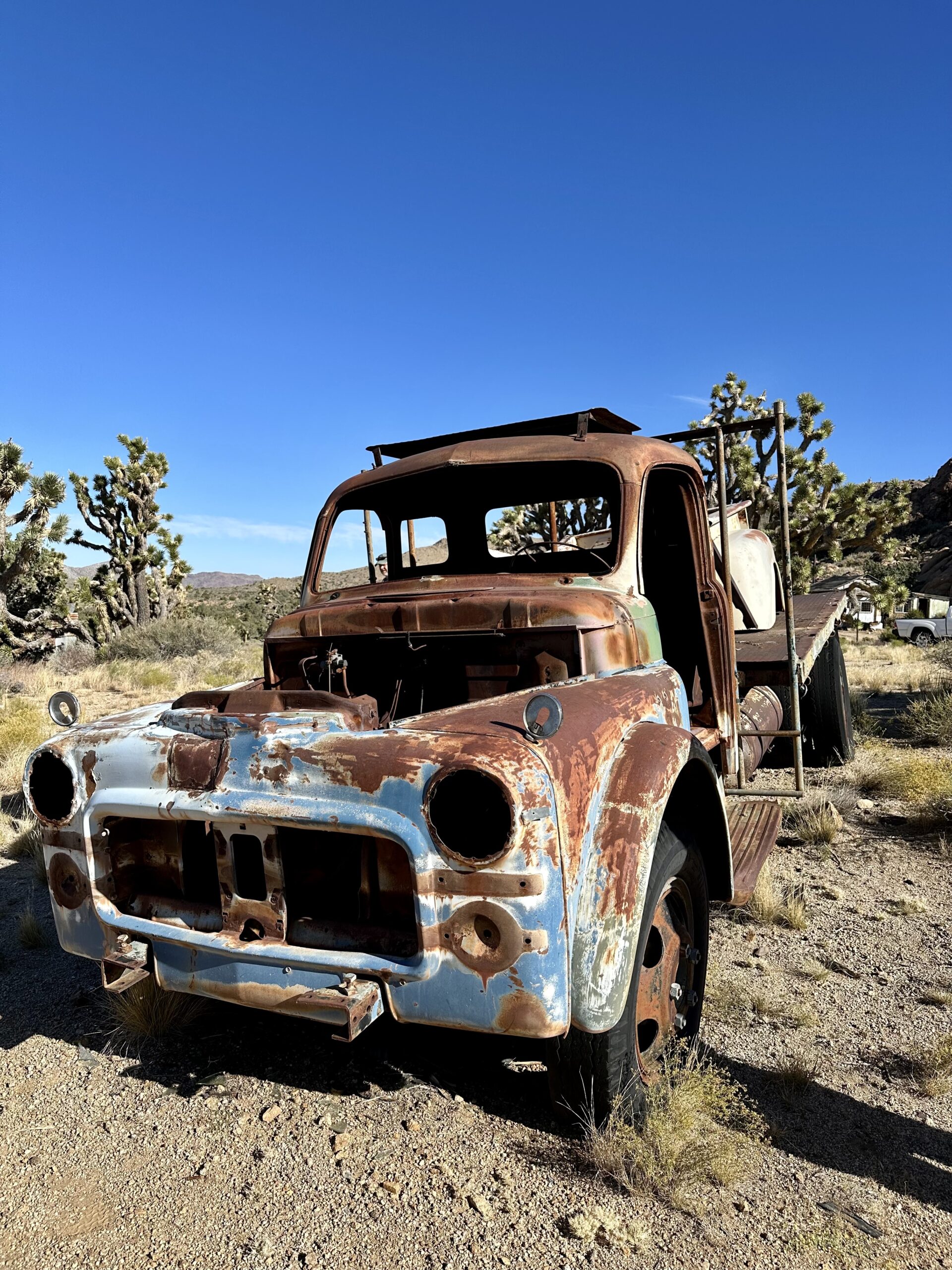
An old truck was sitting nearby. The desert has done a great job weathering it – these are the actual colors! I didn’t edit this photo beyond making it a bit lighter to show how great this truck looks out here.
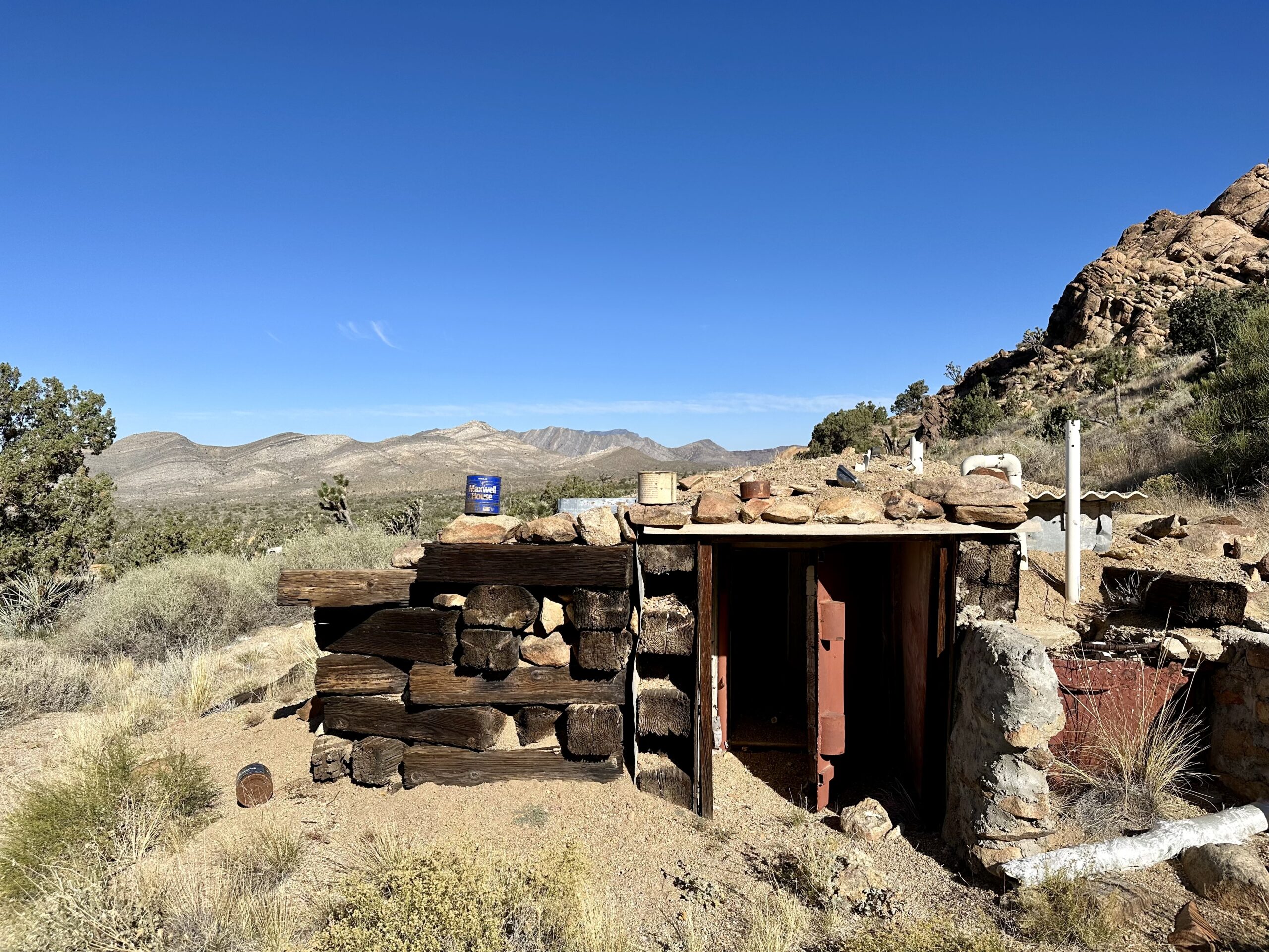
This mining camp had a rather large root cellar near the duplex cabin with a large Maxwell House coffee can on top of the roof.
“Before refrigeration, people stored food in a lot of different ways. Food would be smoked, dried, salted, fermented or pickled. It would also be kept in root cellars or pits underground.” – VermontPublic.org

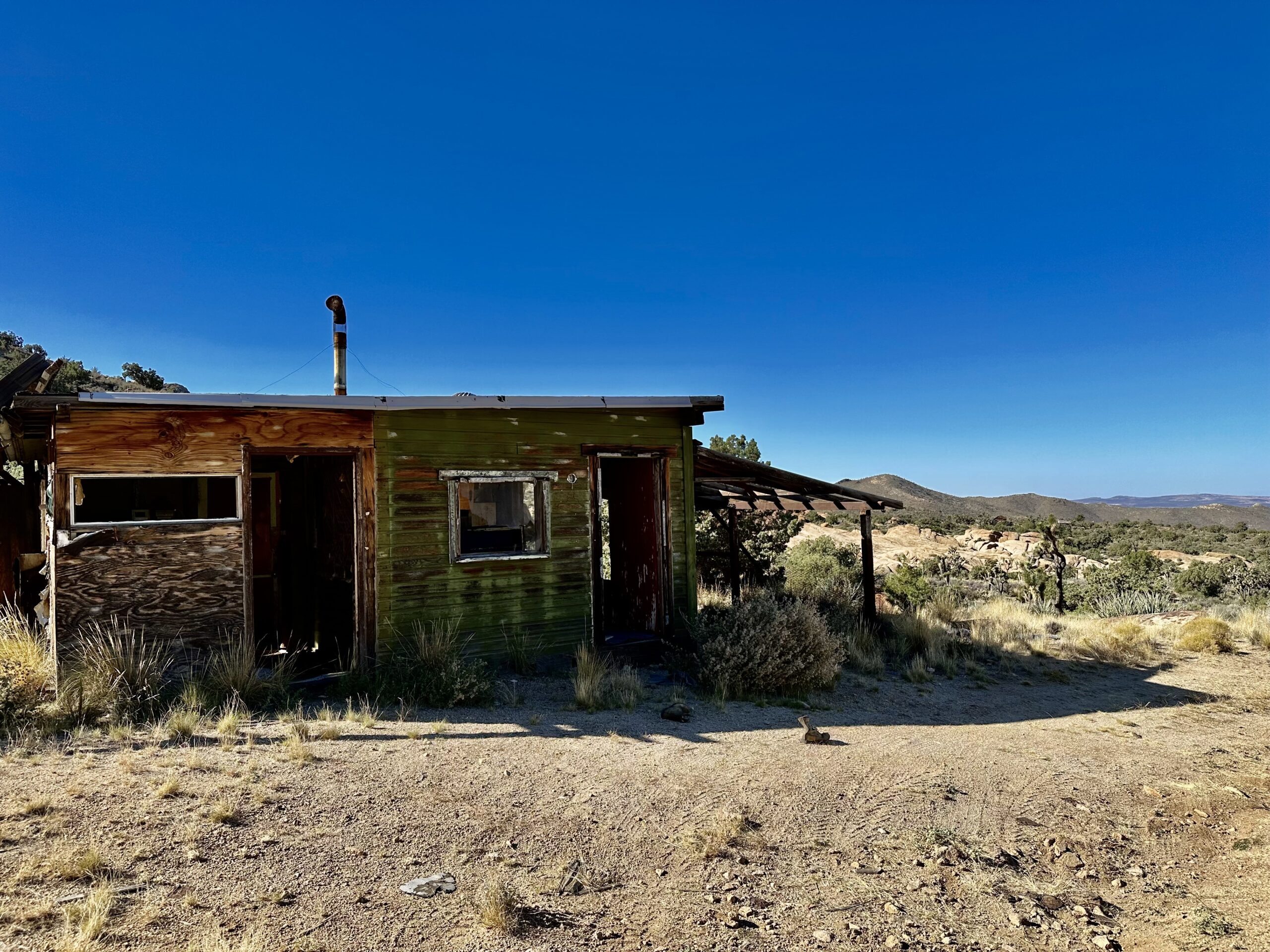
This greenish cabin is also still standing in the mining camp near the duplex. It was quite large inside.

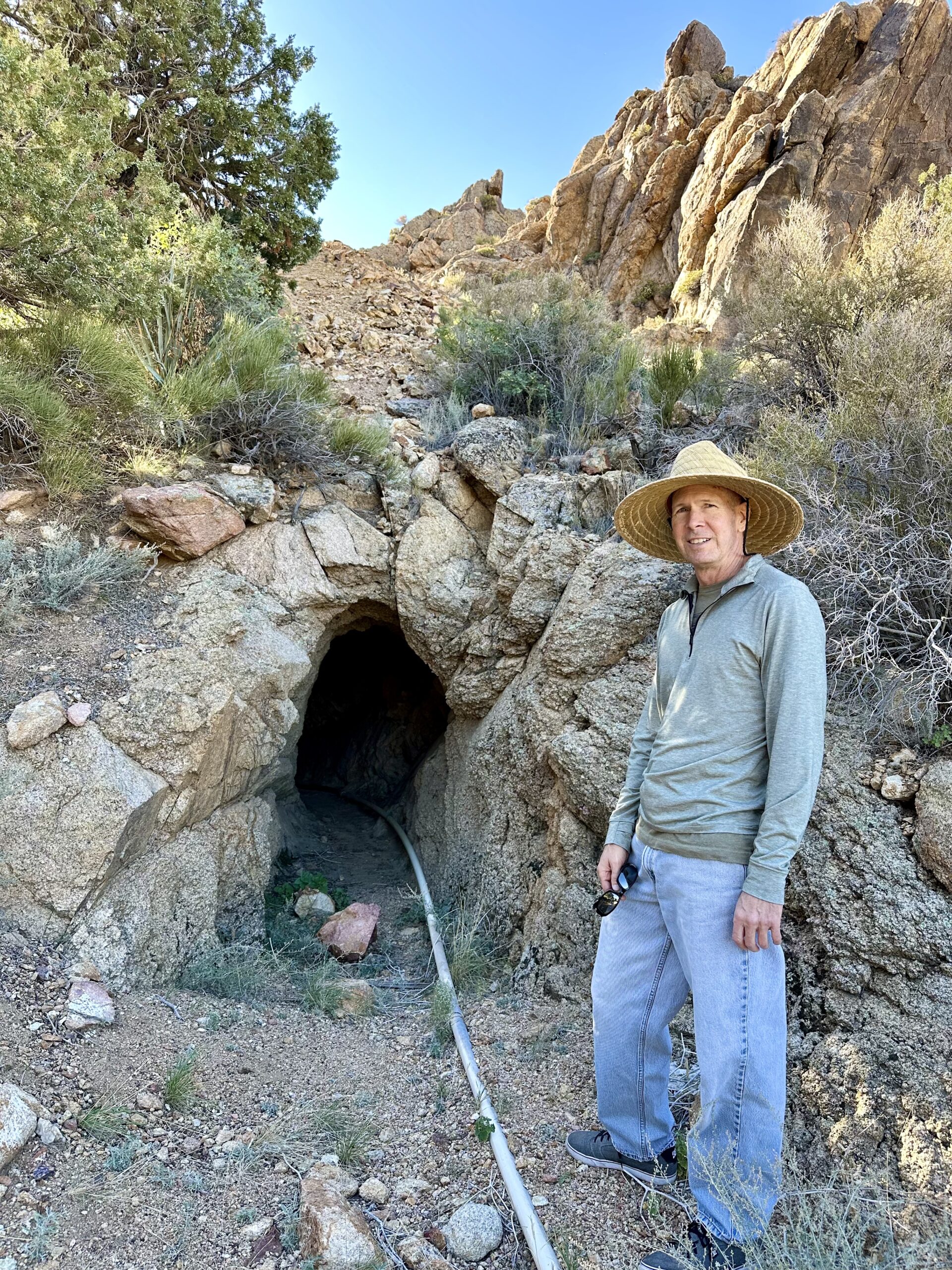
We hiked up to the entrance of the mine near this camp. Unlike the last mine, this one had a small cave entrance. It was not blocked off and still has a mining pipe coming out of it. “…pipes are used to transport material such as ore, minerals, slurry, water and chemicals.” – Mining Technology

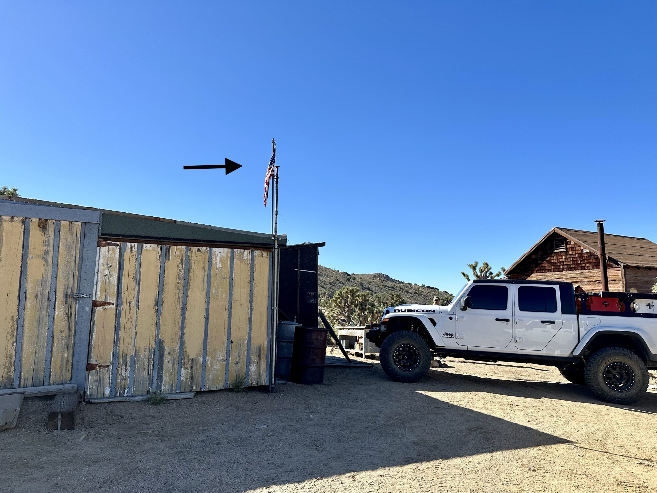
A few of the cabins out here have been restored by groups looking to preserve history in the Mojave. They are clean enough to stay in. And they are free and available on a first come basis. Two of the best restored cabins are the Geer mining cabin and Riley’s Camp. We drove to the Geer cabin first and found a flag on the pole, a sure sign someone was using it. There is no hard rule, but generally, people who camp in the these cabins will raise a flag to let you know it is occupied.
We met the camper who was staying here for the weekend. He was very nice and generously let us go in to look around and take pictures.
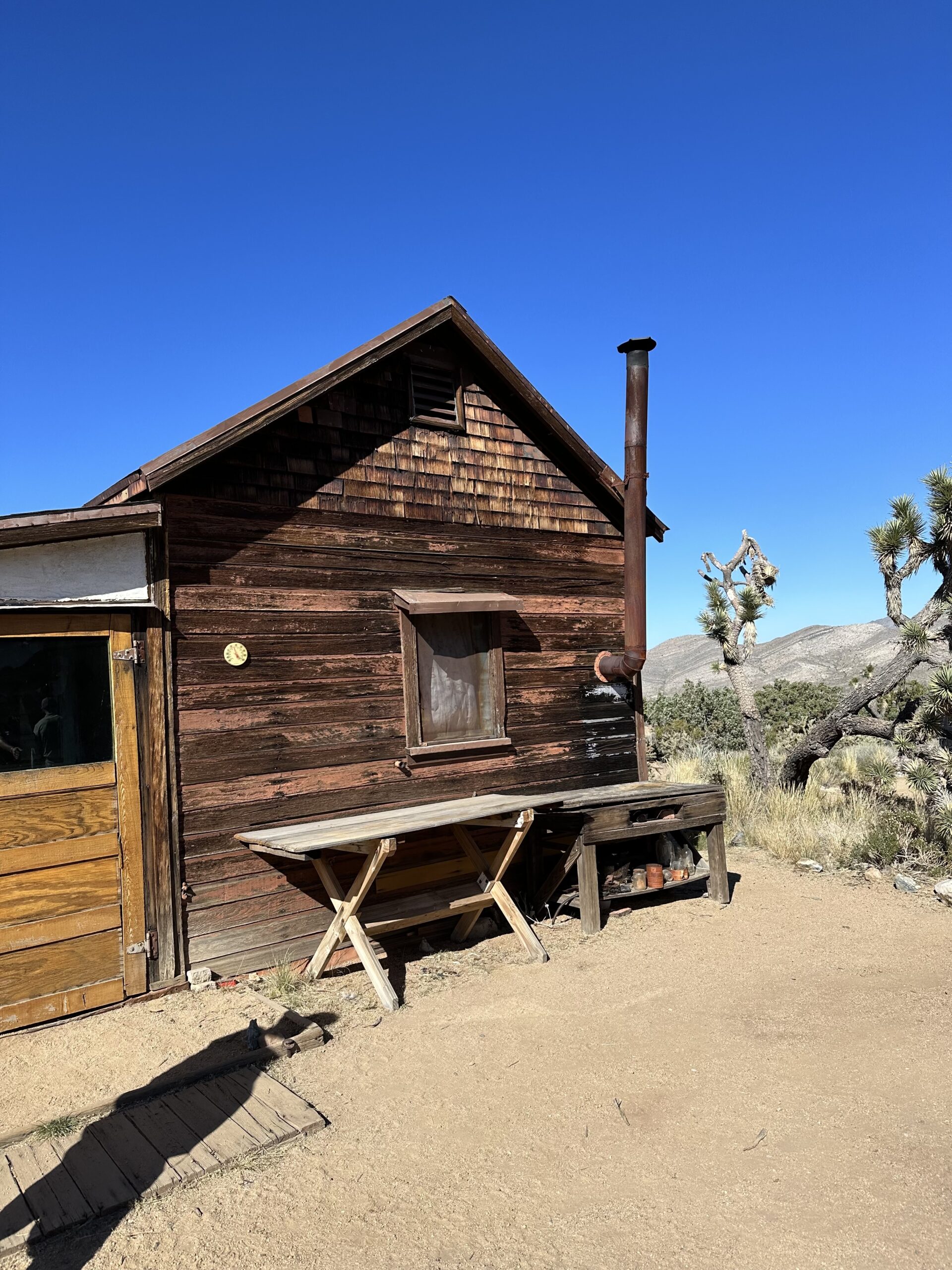
This cabin is clean and clearly restored.

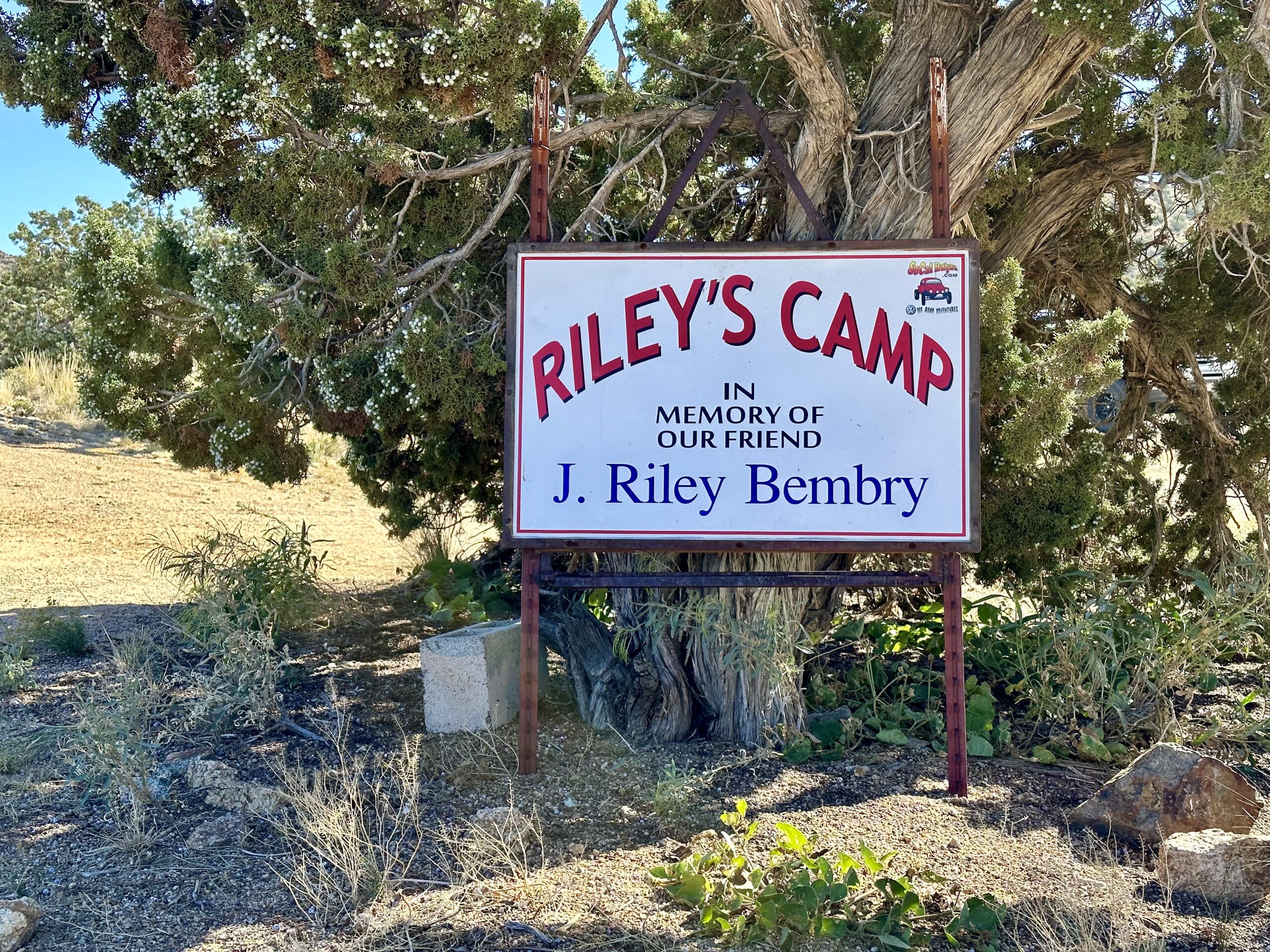
Riley’s Camp is just a few minutes from the Geer Mining cabin.
John Riley “Bembry was an Army medic during World War I, and by some accounts, he also taught soldiers how to use explosives, a skill he would later use to develop mines in the Mojave Desert…Around the time of the Great Depression, he was living full time in the desert, and an encampment of other World War I veterans (many of whom were sent to the high desert for their lung disease from gas during the war) grew around his cabin.” – The Sun
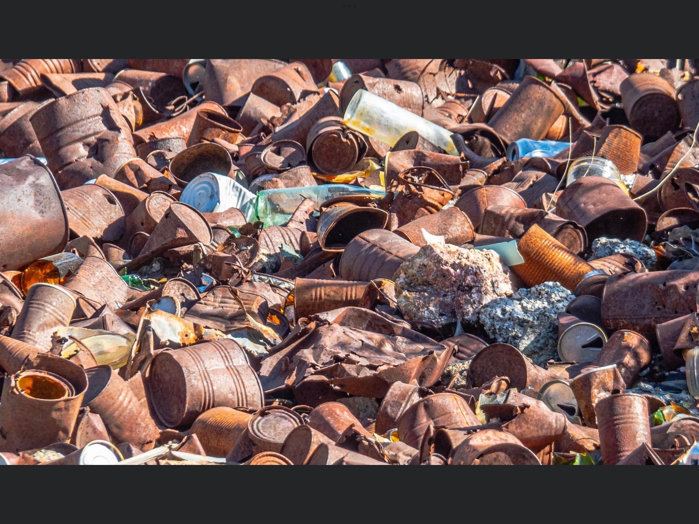
Several of the old mining cabins we’ve been to in the southwest have a pile of old tin cans close to a window or door. It appears that miners would just throw their cans into a pile after they were empty. Riley’s camp has such a large pile that it has filled up a gully next to one of the cabins.

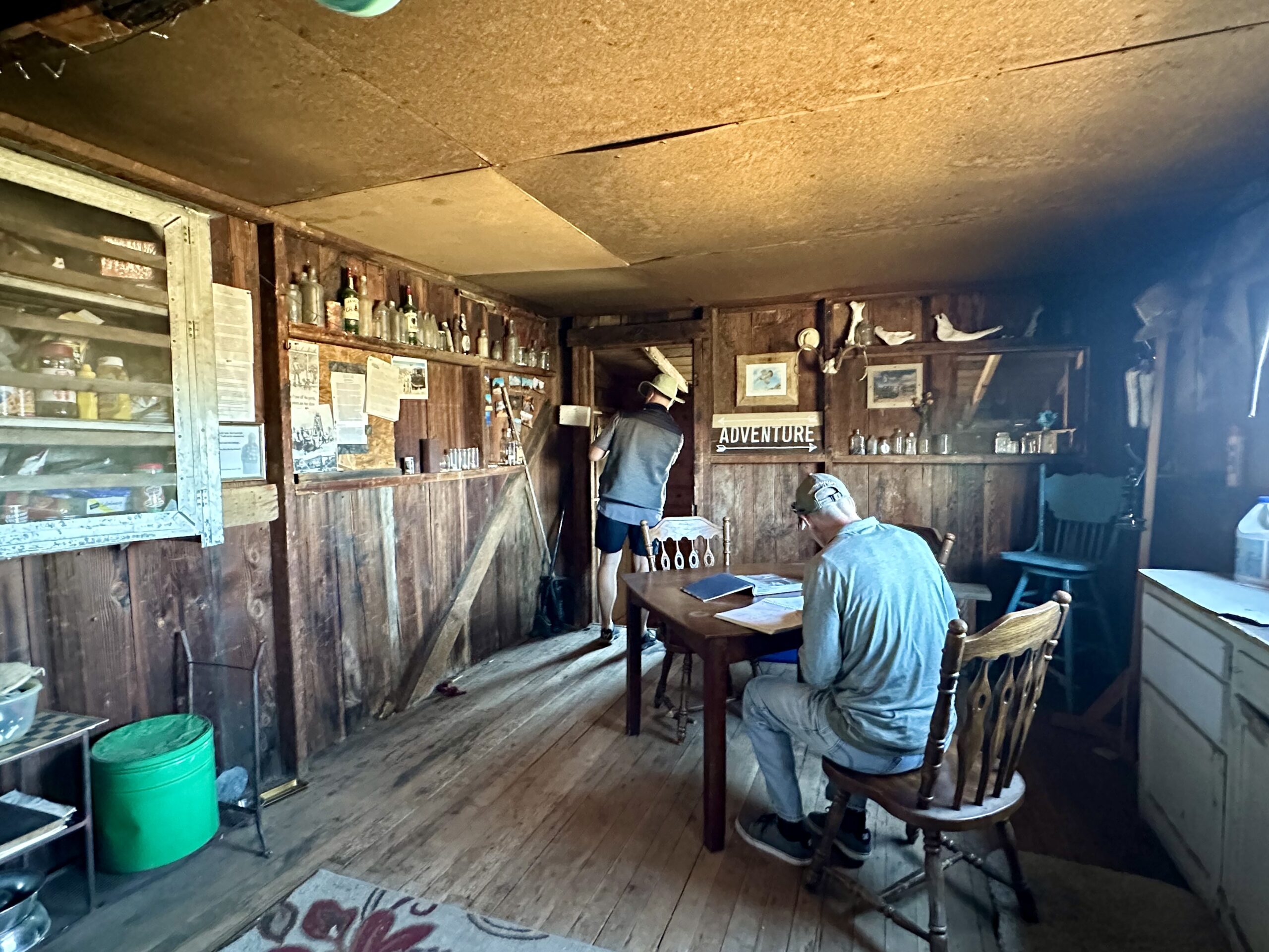
Inside the cabin are pictures, mementos and a book to sign in when you visit.

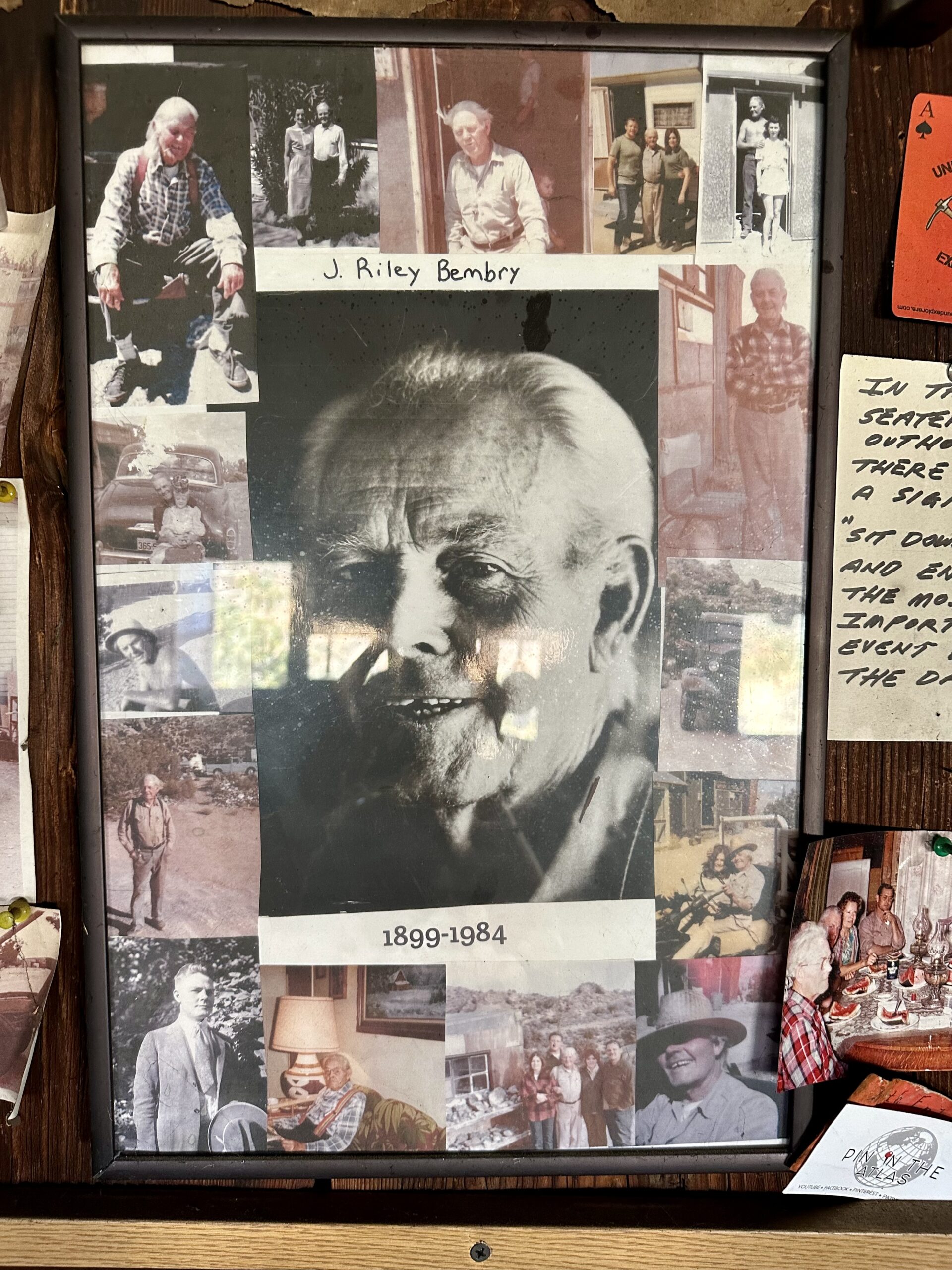
Riley’s cabin has been restored and preserved over the years. Here are pictures we found in the cabin from before and after the restoration.

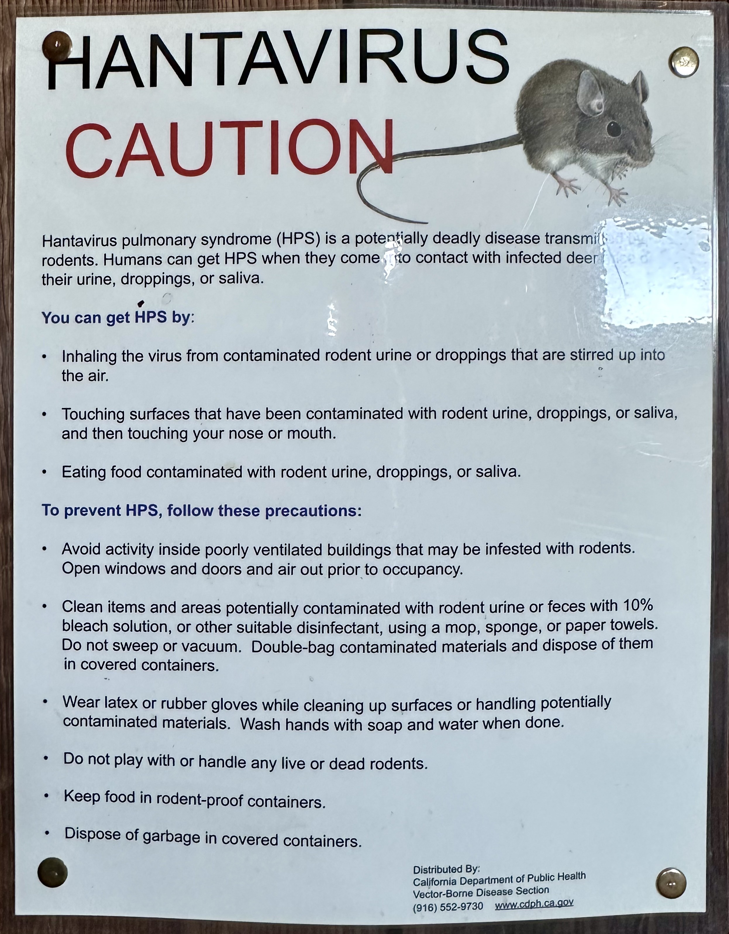
Another room in Riley’s cabin is set up for campers to stay.
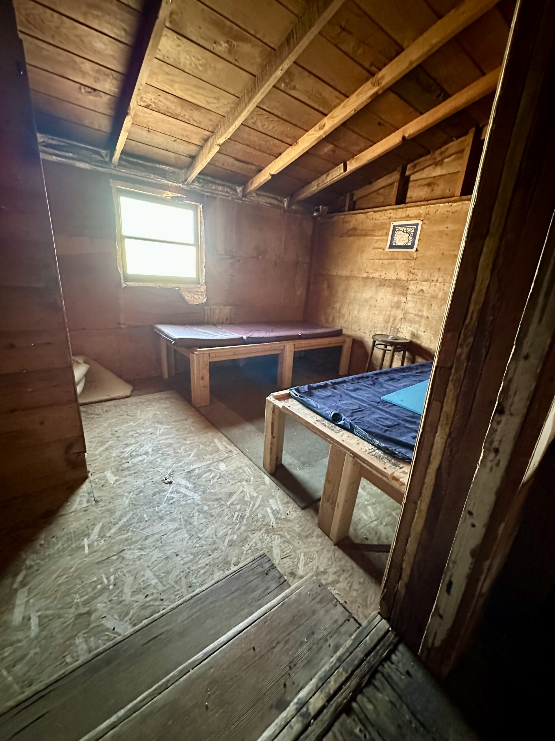
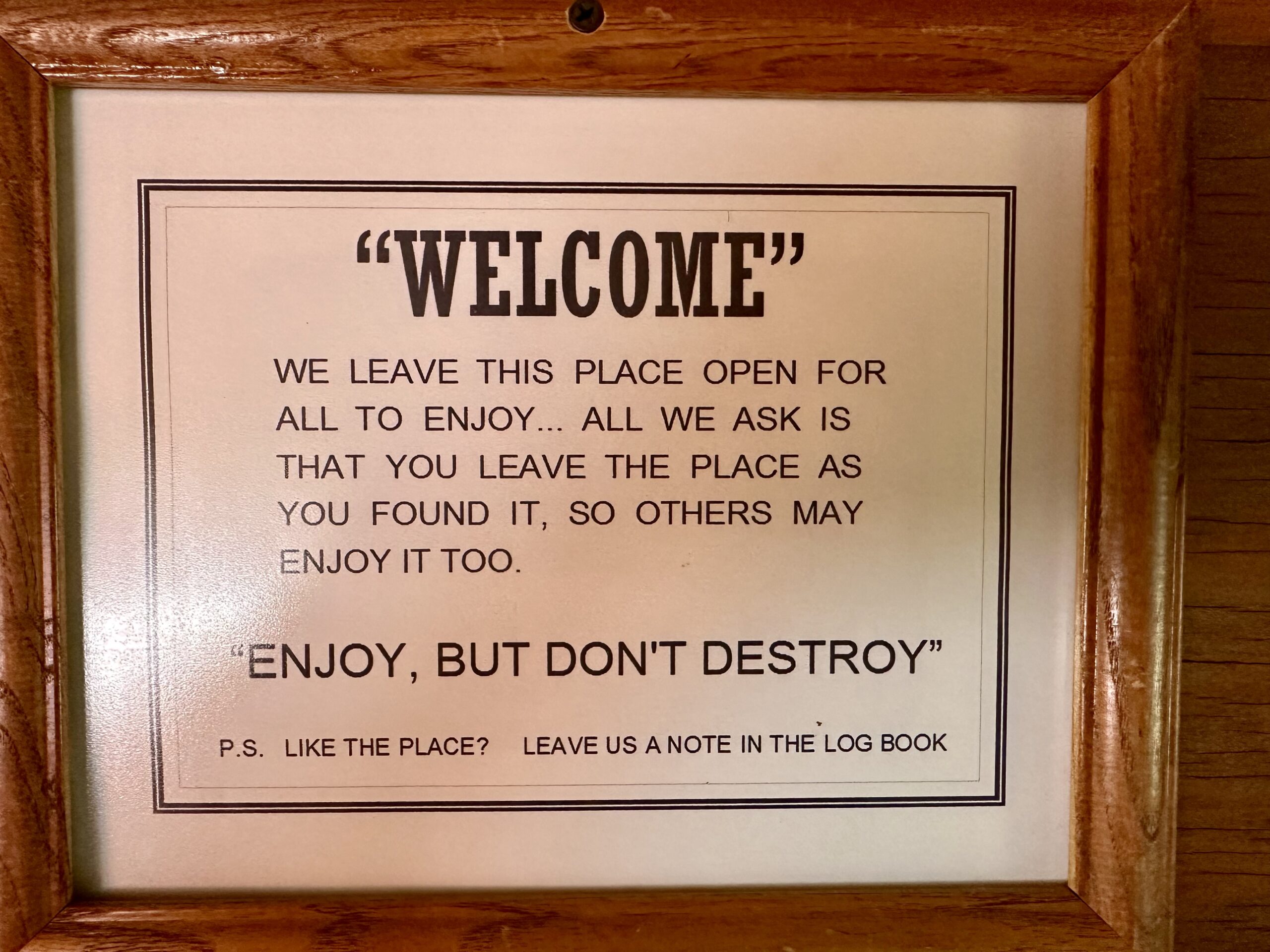
This sign has been posted in many of the cabins we explore. The Geer and Riley cabins are quite clean but many of the other cabins have quite a bit of animal droppings everywhere. Because of this we have never felt comfortable enough to camp in any of the cabins we’ve explored. If you do visit, please use caution.
J. Riley Bembry staked a claim for the Evening Star Mine, but sold it off within a year. “This mine operated from 1939 to 1944 and was the only producer of tin ore in the Mojave desert. The 60′ tall head-frame was one the few that had a crusher on top.” – Leakage from a Cluttered Mind

In 1934, Bembry and fellow WWI veterans erected the Mojave Cross, also known as The White Cross WWI Memorial, in honor of WWI veterans. Bembry took care of the cross until his death in 1984. Shortly before his passing, he asked his friends Henry and Wanda Sandoz to care for the memorial.

“Sixty years after the cross was erected, the National Park Service took over the surrounding 1.6 million acres from the Bureau of Land Management.
The monument faced backlash when retired park employee Frank Buono made a formal complaint. Buono stated that its presence offended him because it violated the constitutional principle of separation of Church and State…
The Sandozs refused to remove the cross, resulting in a lawsuit filed by the American Civil Liberties Union. The matter was elevated to the U.S. Supreme Court.
During the court battle, the cross received Congressional recognition and officially became known as the White Cross World War I Memorial.” – The Daily Press
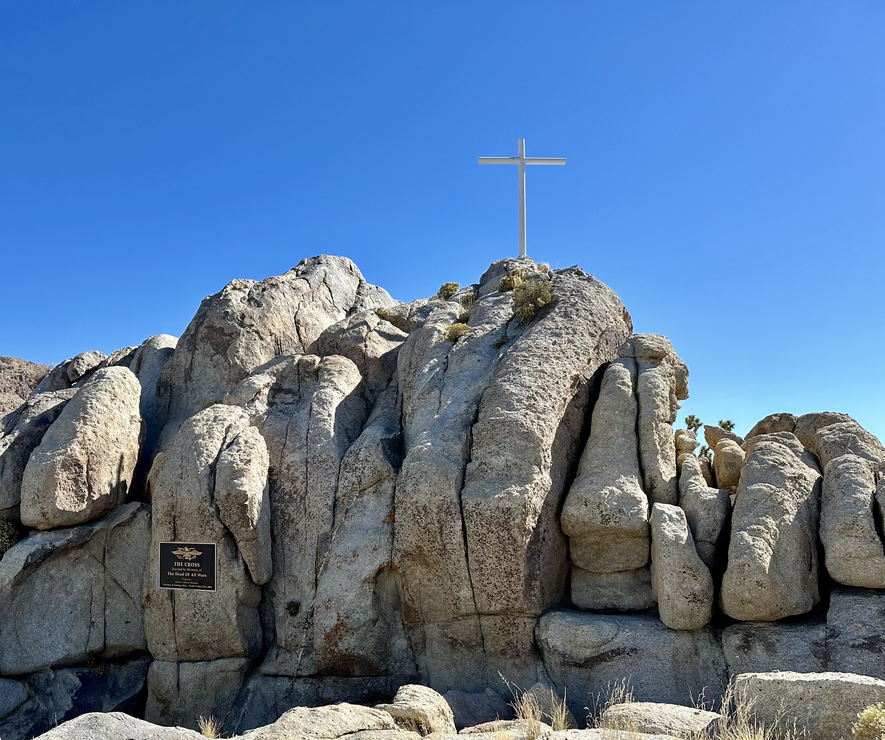
“It was boarded up in 2002 after lower court rulings declared it illegal because of separation of church and state constitutional concerns.
On April 28, 2010, the US Supreme Court ruled on Salazar v. Buono in a 5–4 decision that sent the case back to a lower court. The high court ruled there was no violation of the separation of church and state when Congress transferred the land surrounding the cross to a veterans group. Writing for the majority, Justice Anthony Kennedy wrote, “The goal of avoiding governmental endorsement [of religion] does not require eradication of all religious symbols in the public realm”. – Wikipedia
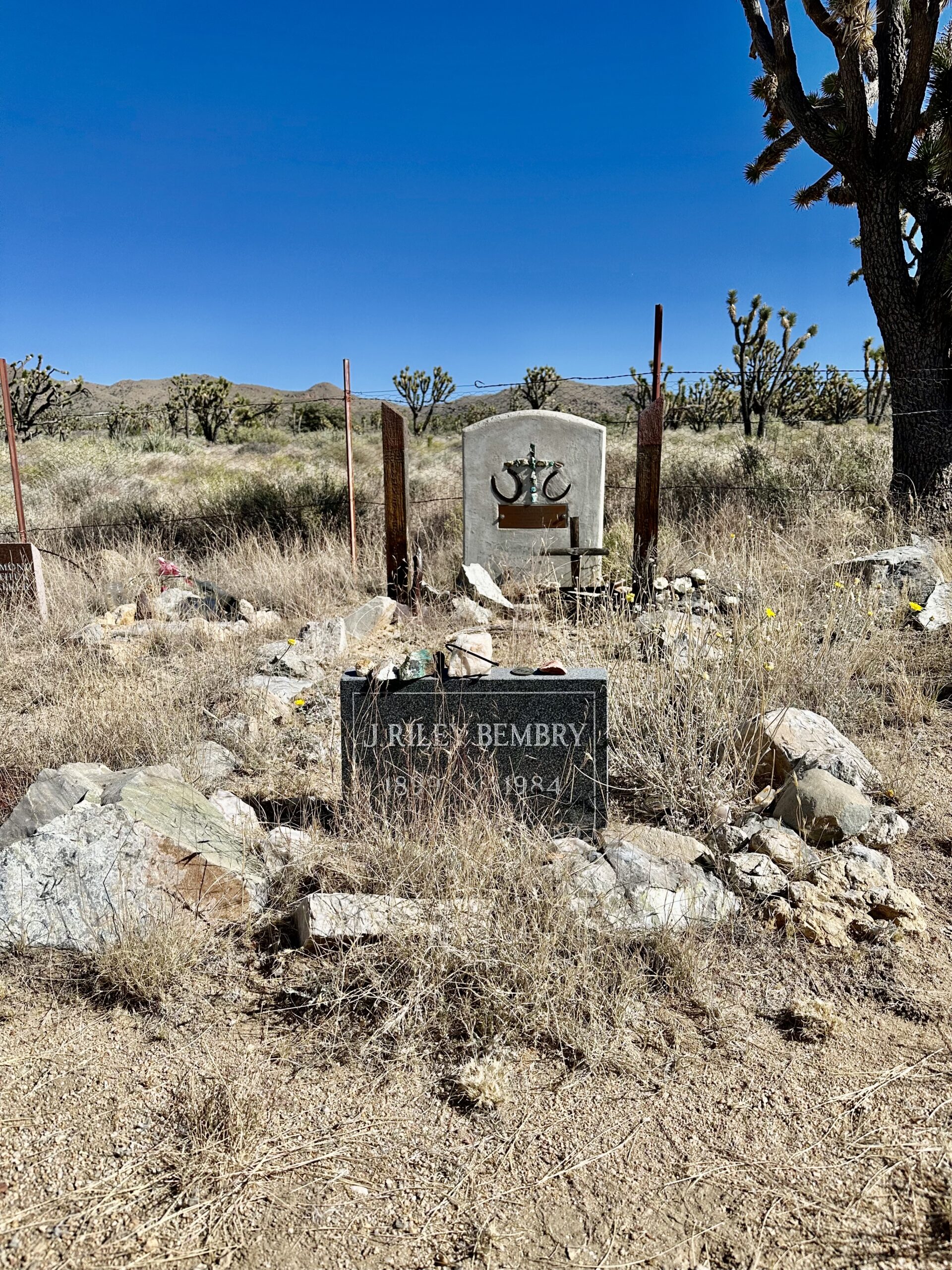
“In 1984, Riley passed at his daughter’s home in Norwalk (CA). He was buried in this desert valley with over 100 people attending his funeral.” – GhostTowns.com
Another quirky mining cabin is a pair of cabins (probably an addition over the years) connected by a short metal “hallway”. This cabin was carpeted with remnants of carpet from Whiskey Pete’s Hotel & Casino. It has been known as the Whiskey Pete cabin for as long as I can remember.
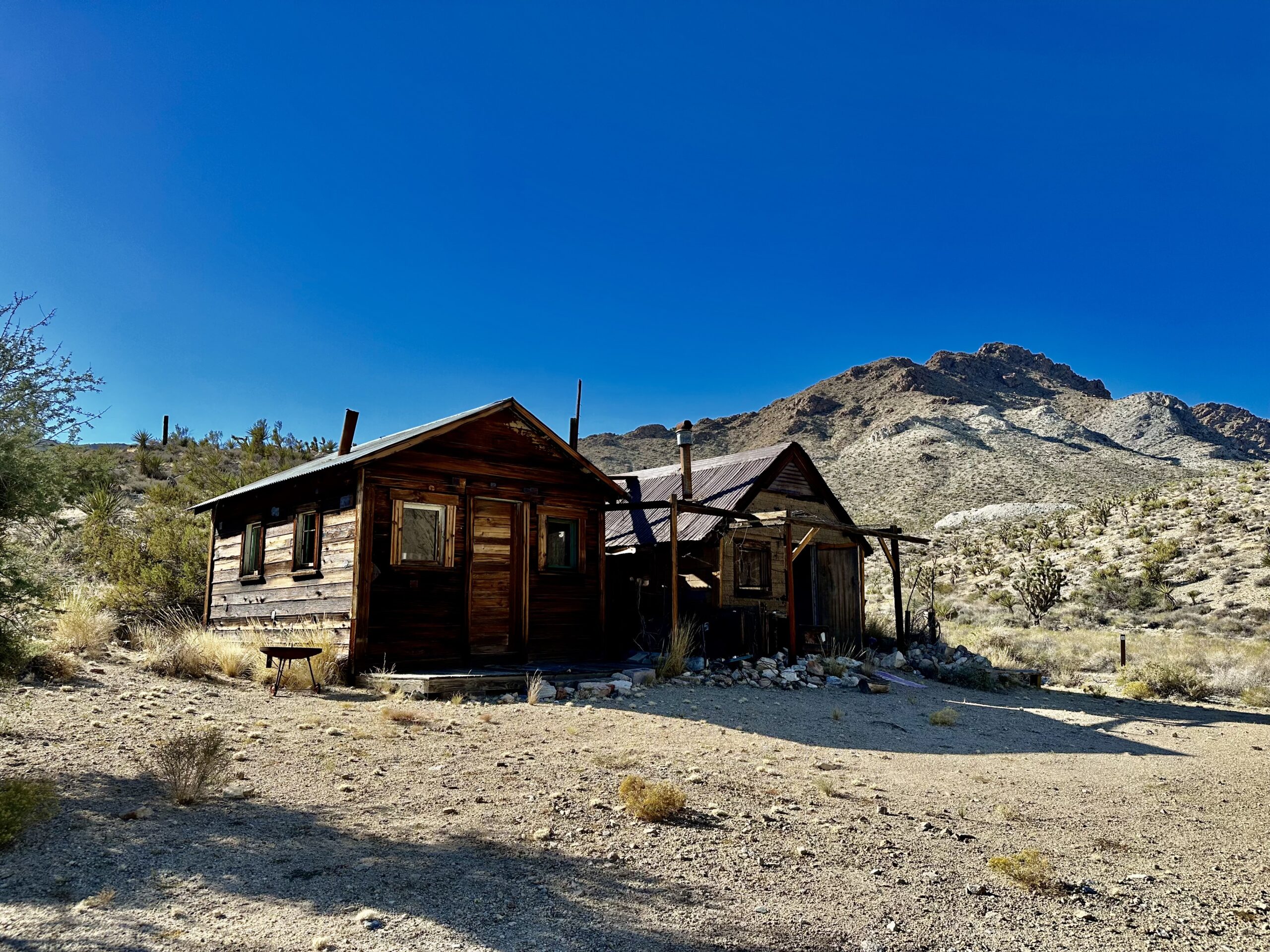

The cabin appears to have been overrun by mice and other small furry critters. Because of this much of the carpet has been pulled out, though there are still remnants that can be seen in one of the rooms.

These pictures show all the animal droppings around on the floor. This is what we usually see in old cabins. It is also why I mentioned the Geer and Riley cabins appeared so clean.

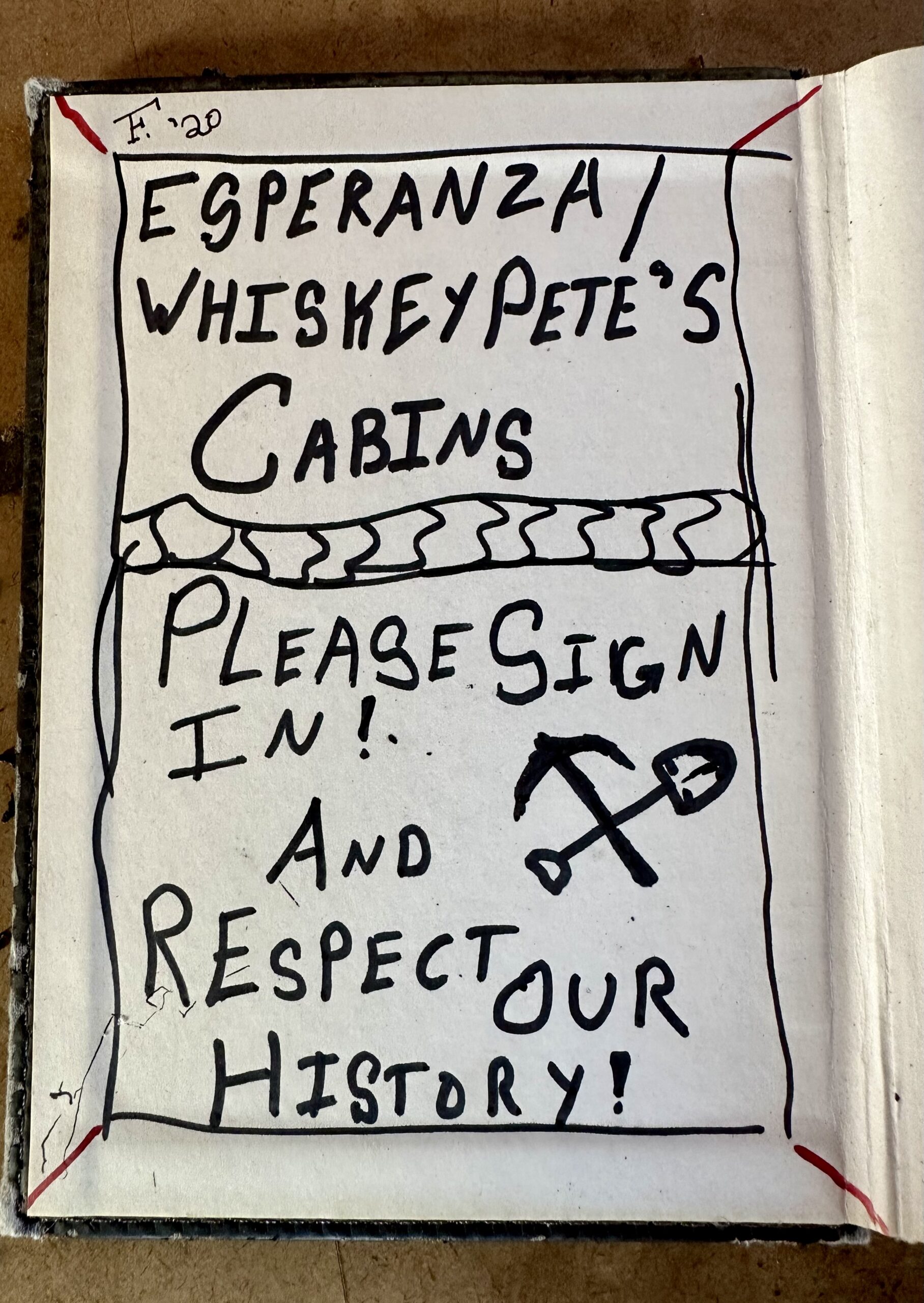
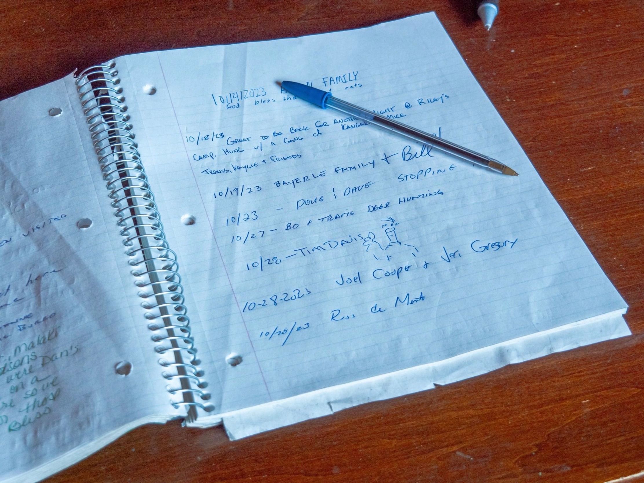
Brannigan Camp is another well preserved site with two cabins and fire pits. Inside Brannigan Cabin is a functional kitchen and fireplace. Joel has camped (in tents outside) here before with some friends. The camp is blocked by a gate that is not locked, just be sure to close it behind you.

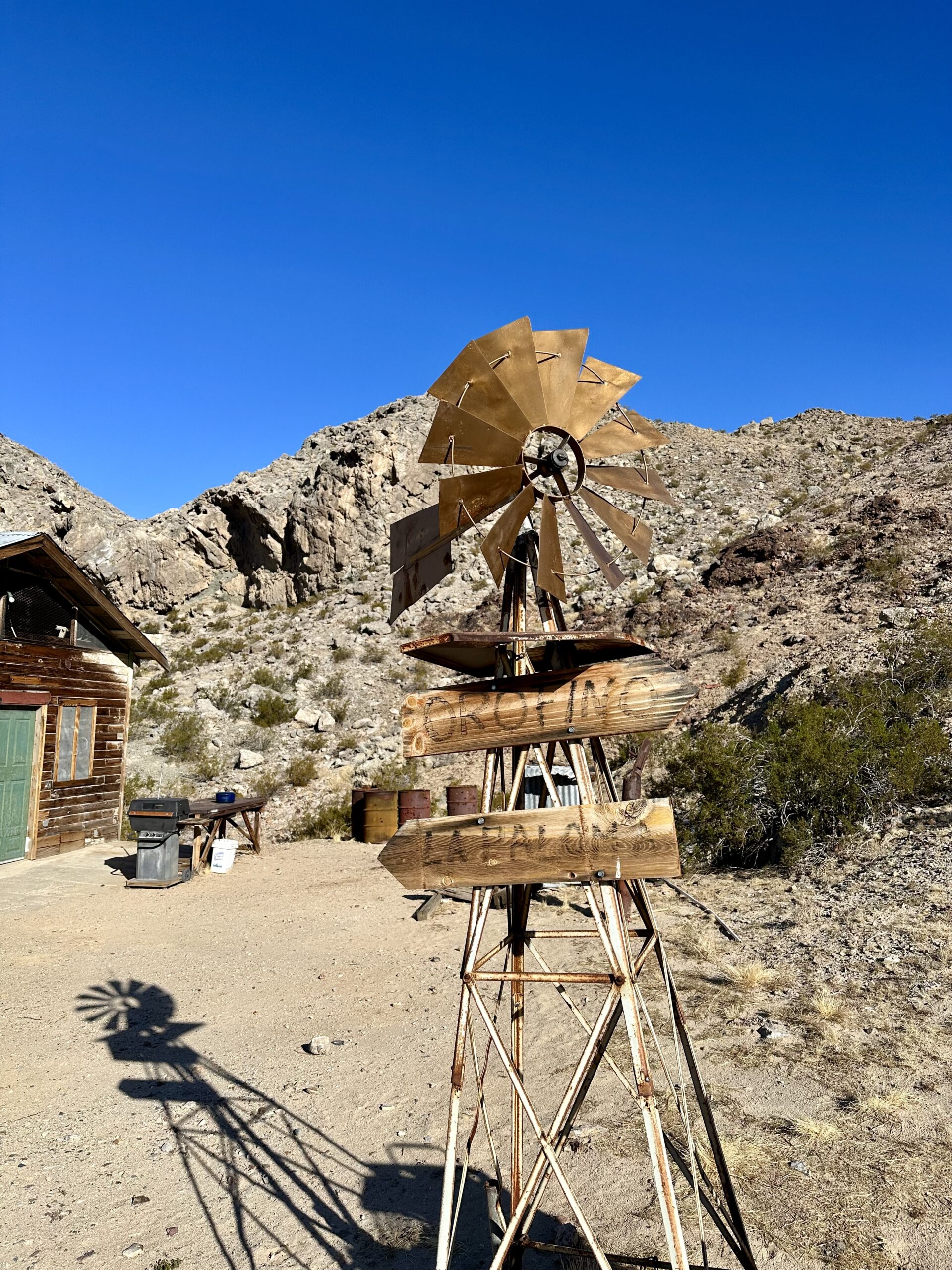
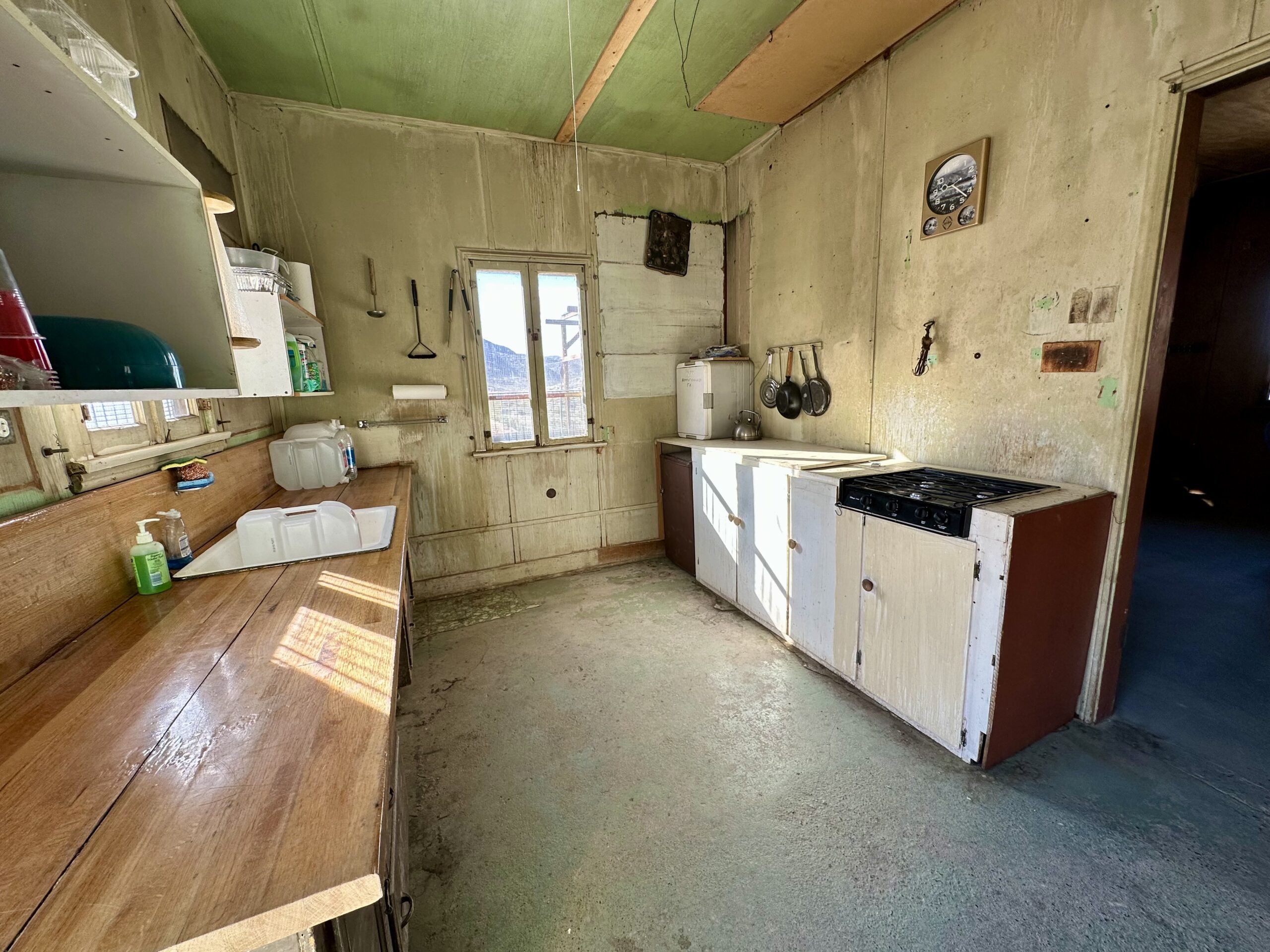
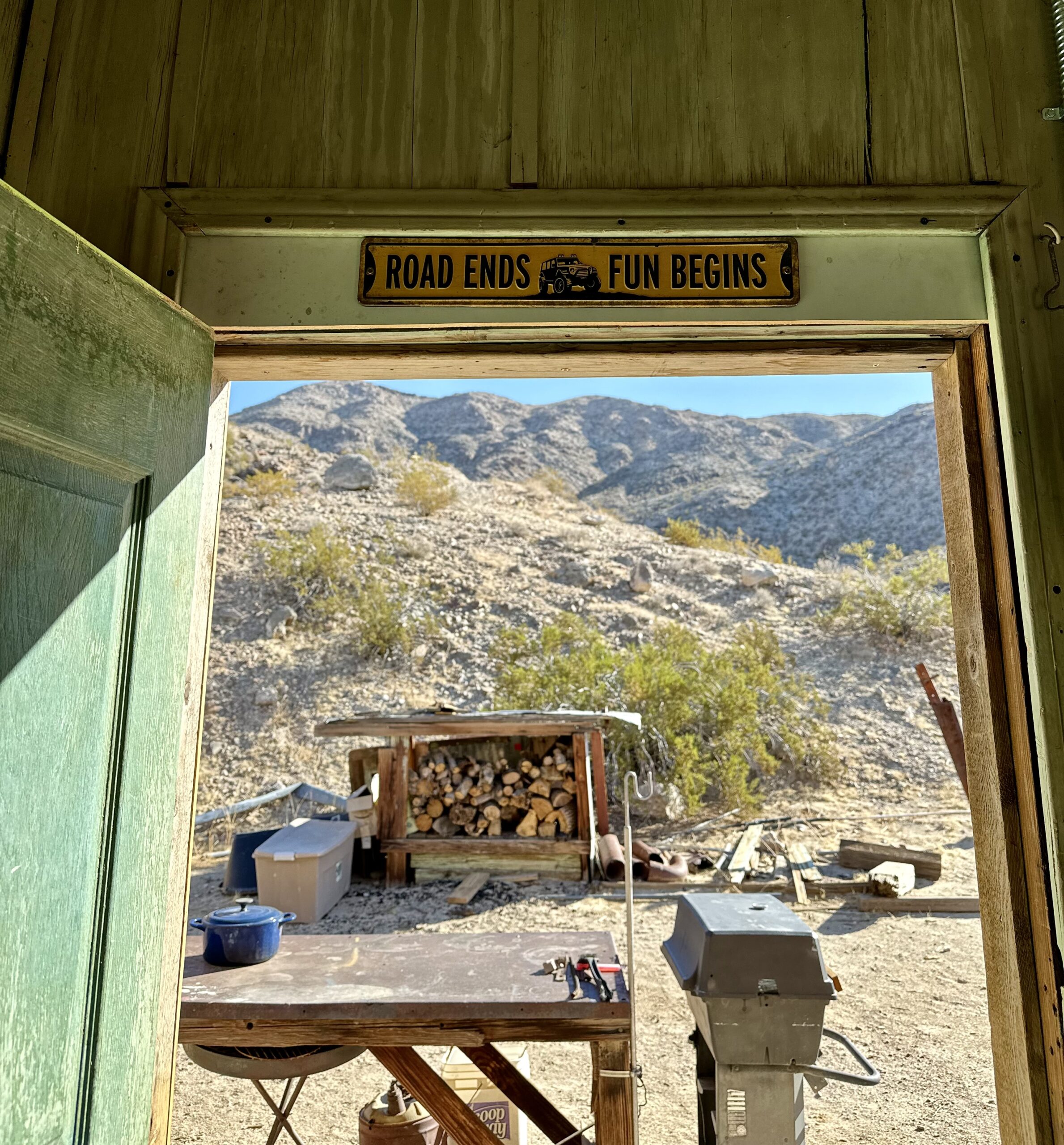
The most reliable GPS for exploration is GAIA maps. But, like most GPS mapping software, it is not perfect. GAIA clearly showed us a road over this hill. It would have been a short cut, cutting about an hour off our travels. But we just couldn’t find a passable road.


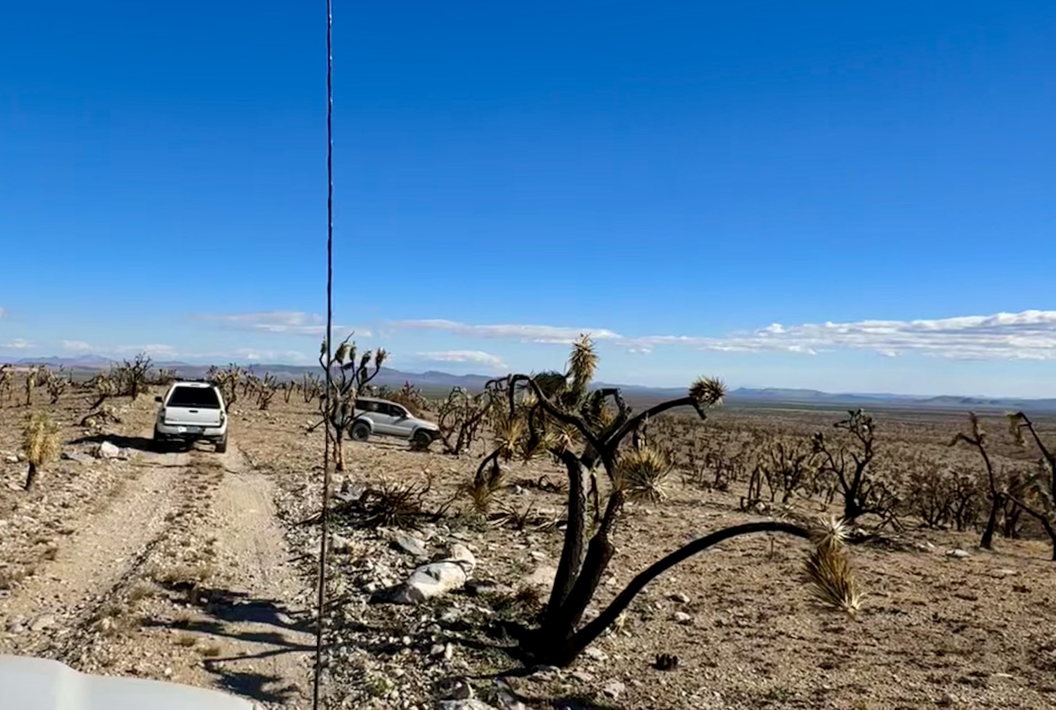
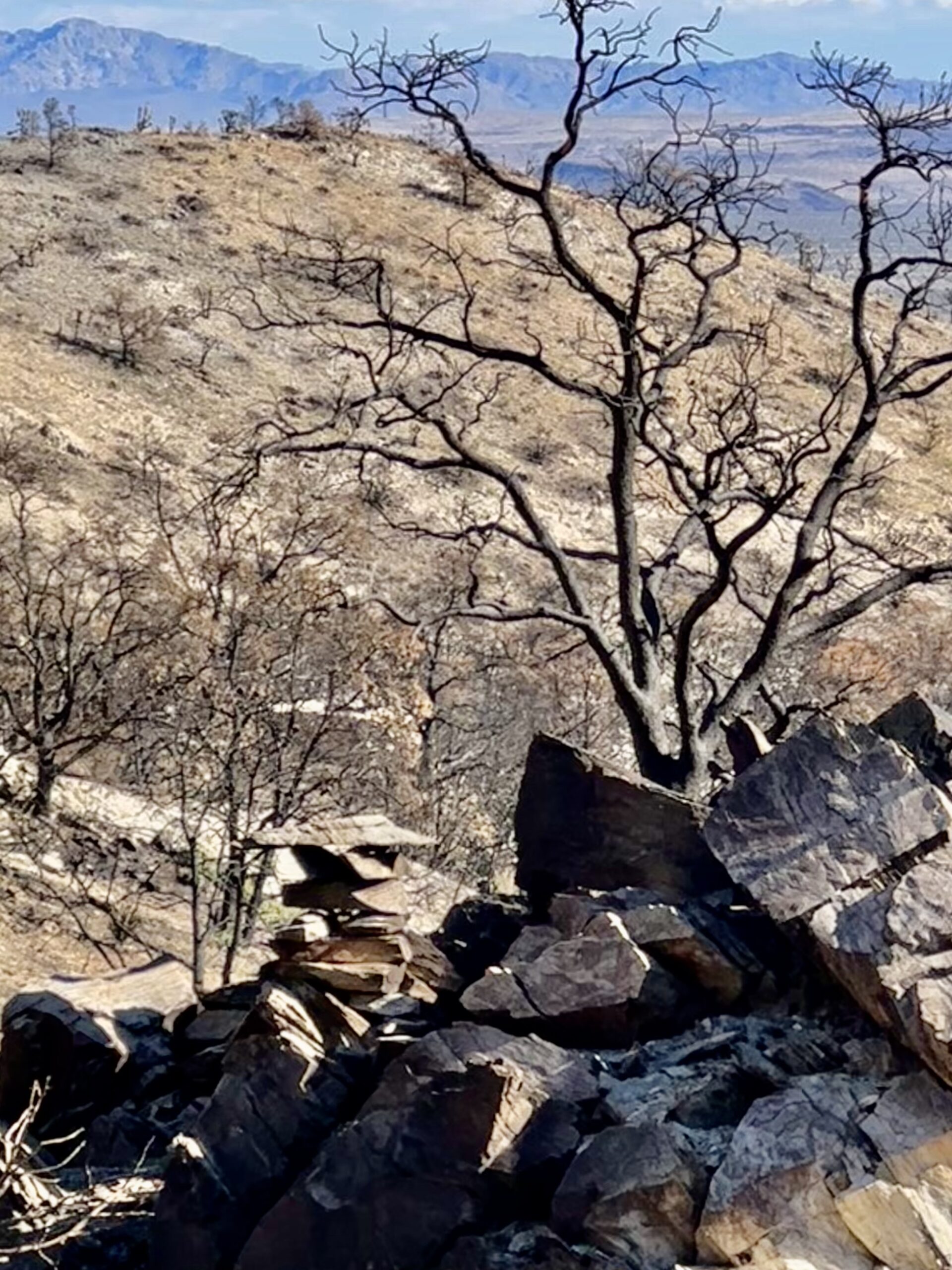
In the summers of 2020 and 2023 widespread fires burned through large portions of the Joshua tree forests in the Mojave Preserve. “The Joshua trees and other plant species burned by the nearly 94,000-acre York Fire are likely to never regrow, said Debra Hughson, the preserve’s deputy superintendent, leaving behind a permanent reminder of a changing climate on the preserve’s landscape.” – Phys.org
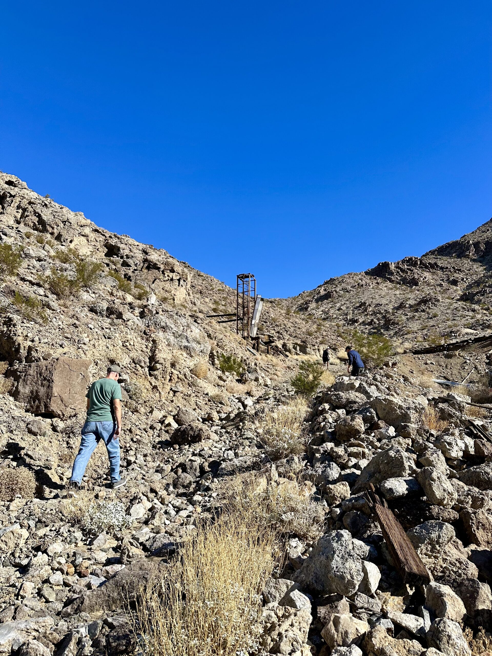
“The Sagamore Mine, also known as the New York Mine, was a silver, lead, copper, zinc, and gold mine. It was first discovered in the 1870s by Mormons who found rich silver veins in the foothills of the New York Mountains. It is one of the oldest mines in the area.” – Starbuck.org
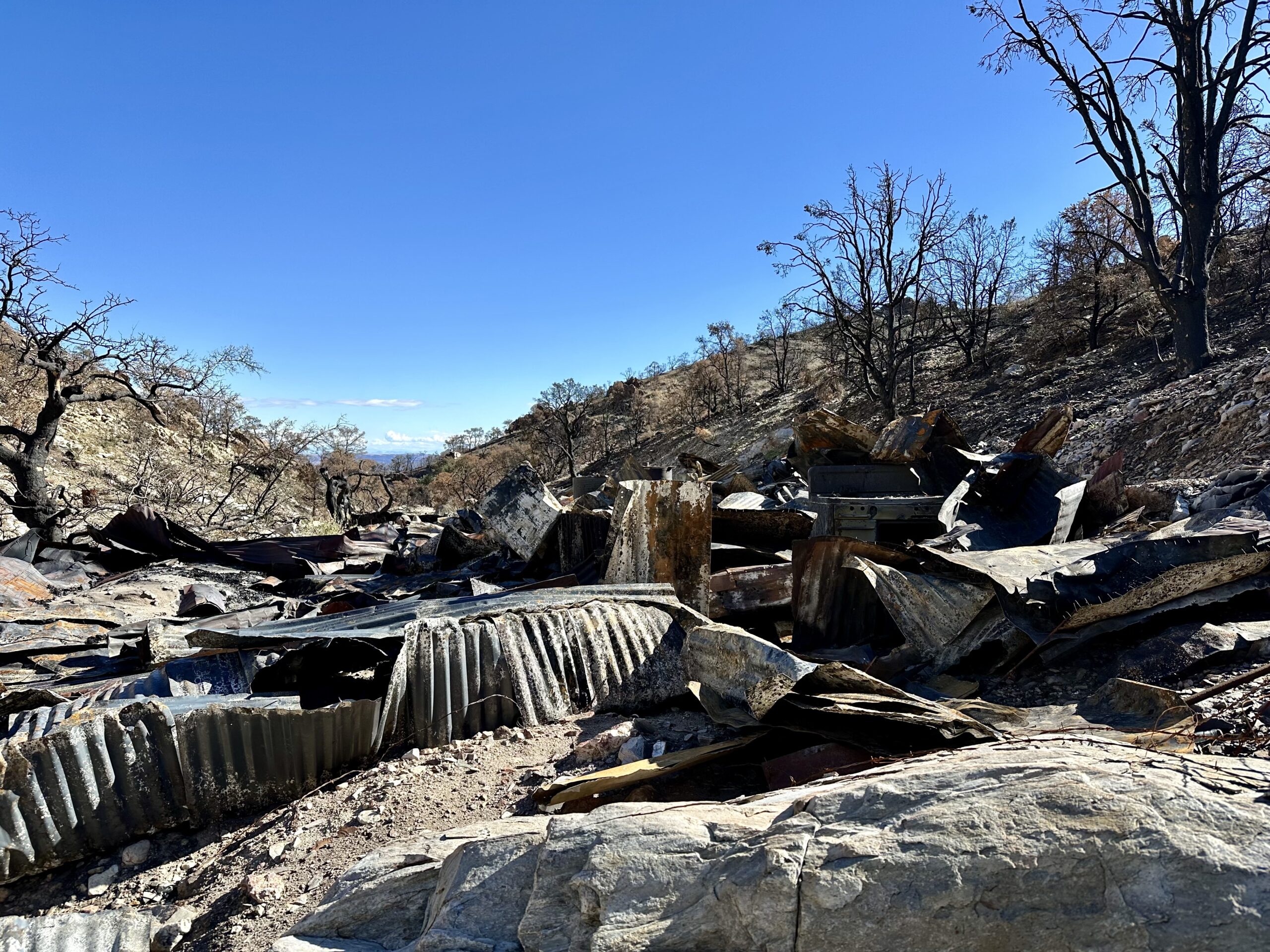
Joel and I had been to the Sagamore Mine in the past and we were curious if it had been damaged after the fires. I was not able to find any pictures we took before the fires. However, here is a picture I found on the internet.
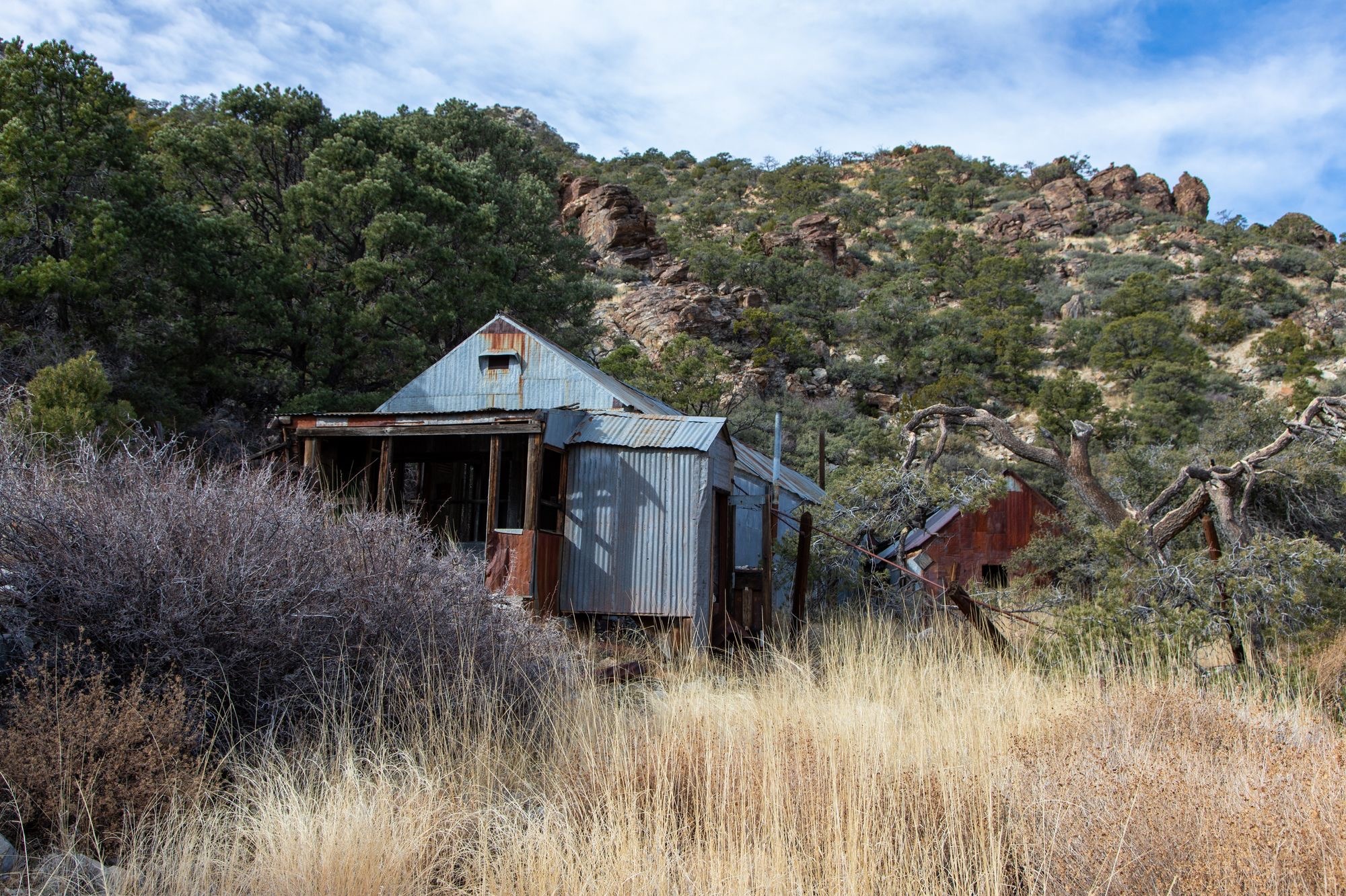
Unfortunately, one of the fires came right through the canyon and burned everything that remained from the camp.

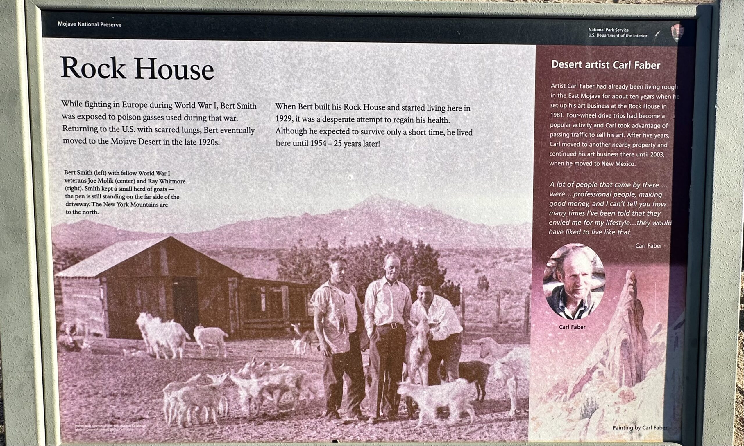
The last cabin we went to was the historic Rock House near the trail head of Rock Spring.
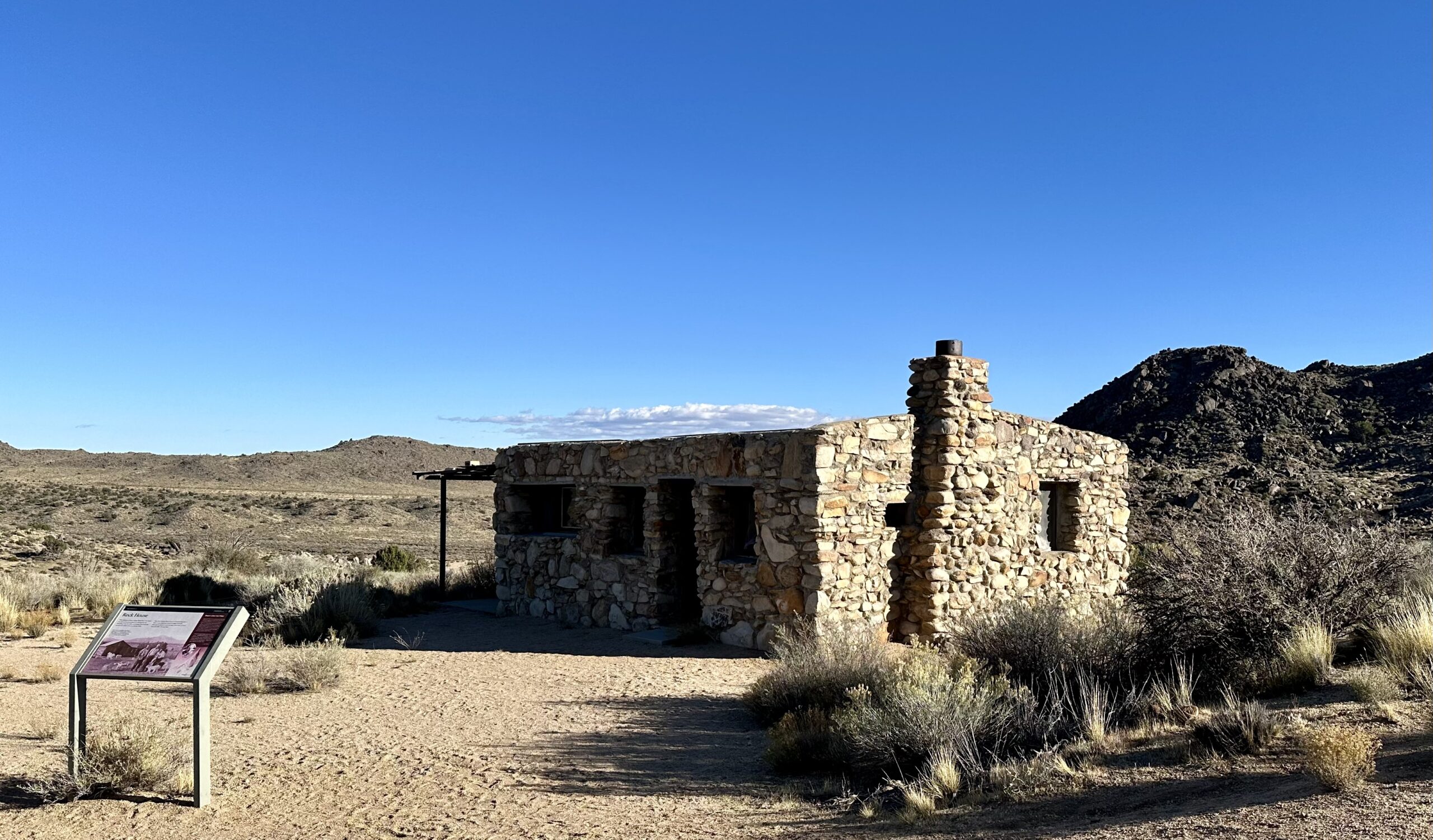
“While fighting in Europe during World War I, Bert Smith was exposed to poison gasses used during that war. Returning to the U.S. with scarred lungs, Bert eventually moved to the Mojave Desert in the late 1920s.
When Bert built his Rock House and started living here in 1929, it was a desperate attempt to regain his health. Although he expected to survive only a short time, he lived here until 1954 — 25 years later! The second long-term resident was artist Carl Faber, who lived and worked at the rock house in the 1980s, selling his artwork to passing travelers.” – National Park Service (NPS)
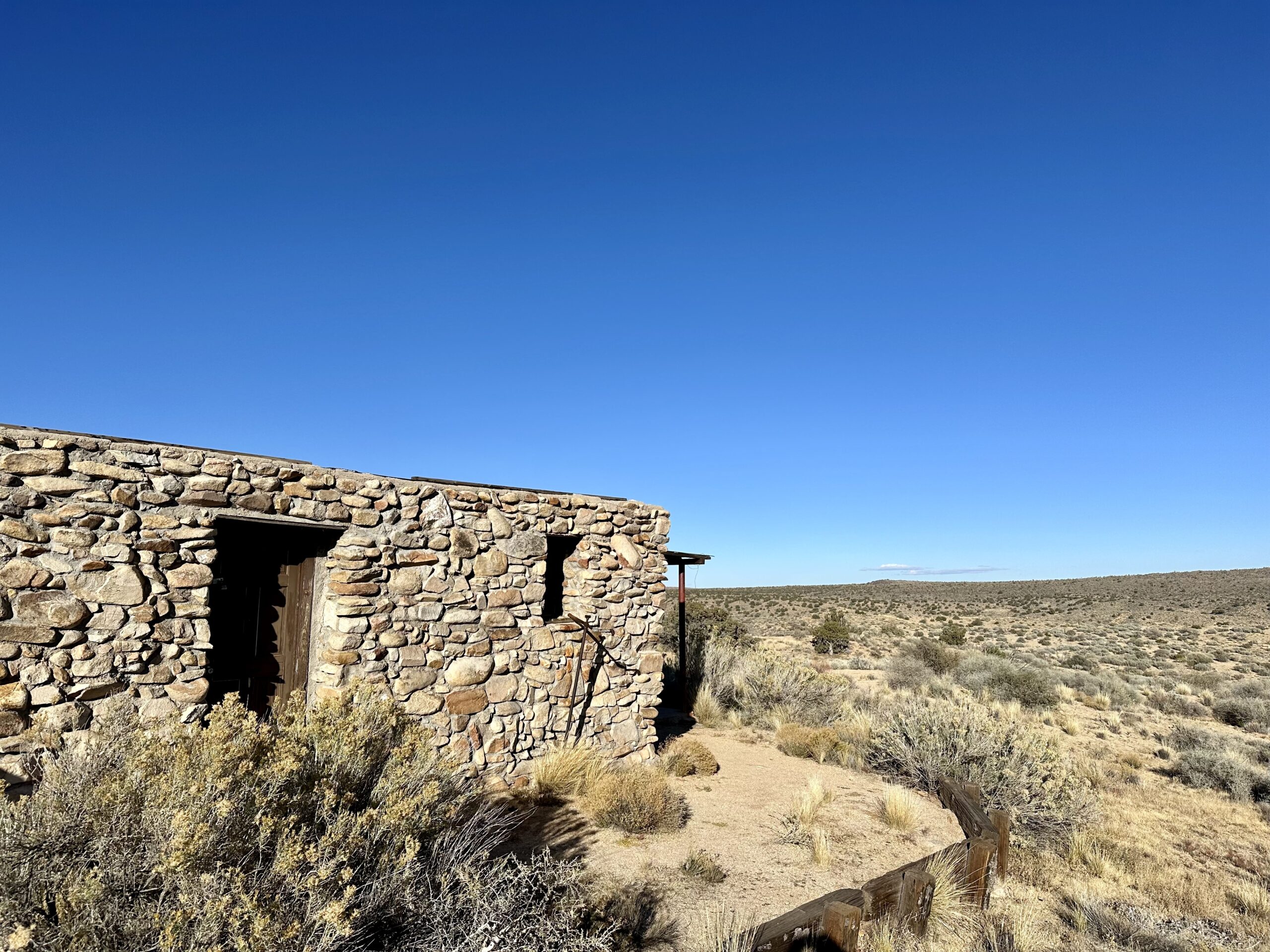
This building is locked up now. However, it is still an interesting site to visit. And there is a short one mile (1.6 km) loop trail to a natural spring that begins right behind the Rock House. “The trail continues to Rock Spring, one in a series of springs that dot the Mojave Desert every 20 to 30 miles, forming a natural travel corridor. This route eventually became known as the Mojave Road.” – NPS
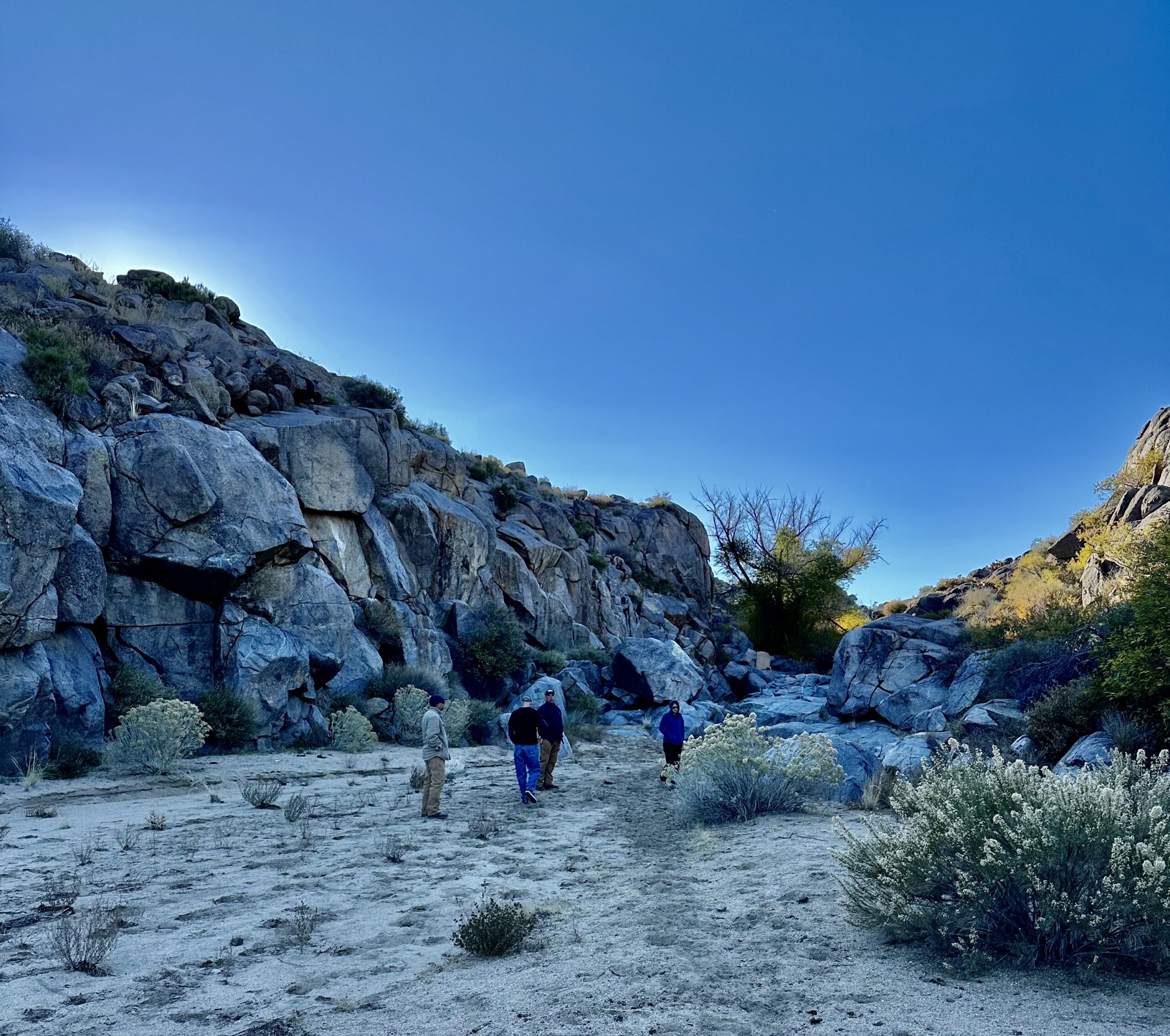
“For thousands of years, Rock Spring was a crucial link in a chain of springs that allowed early travelers to cross the unforgiving desert. American Indians, then miners, then cowboys all stopped here to quench their thirst and rest before moving on.” – NPS


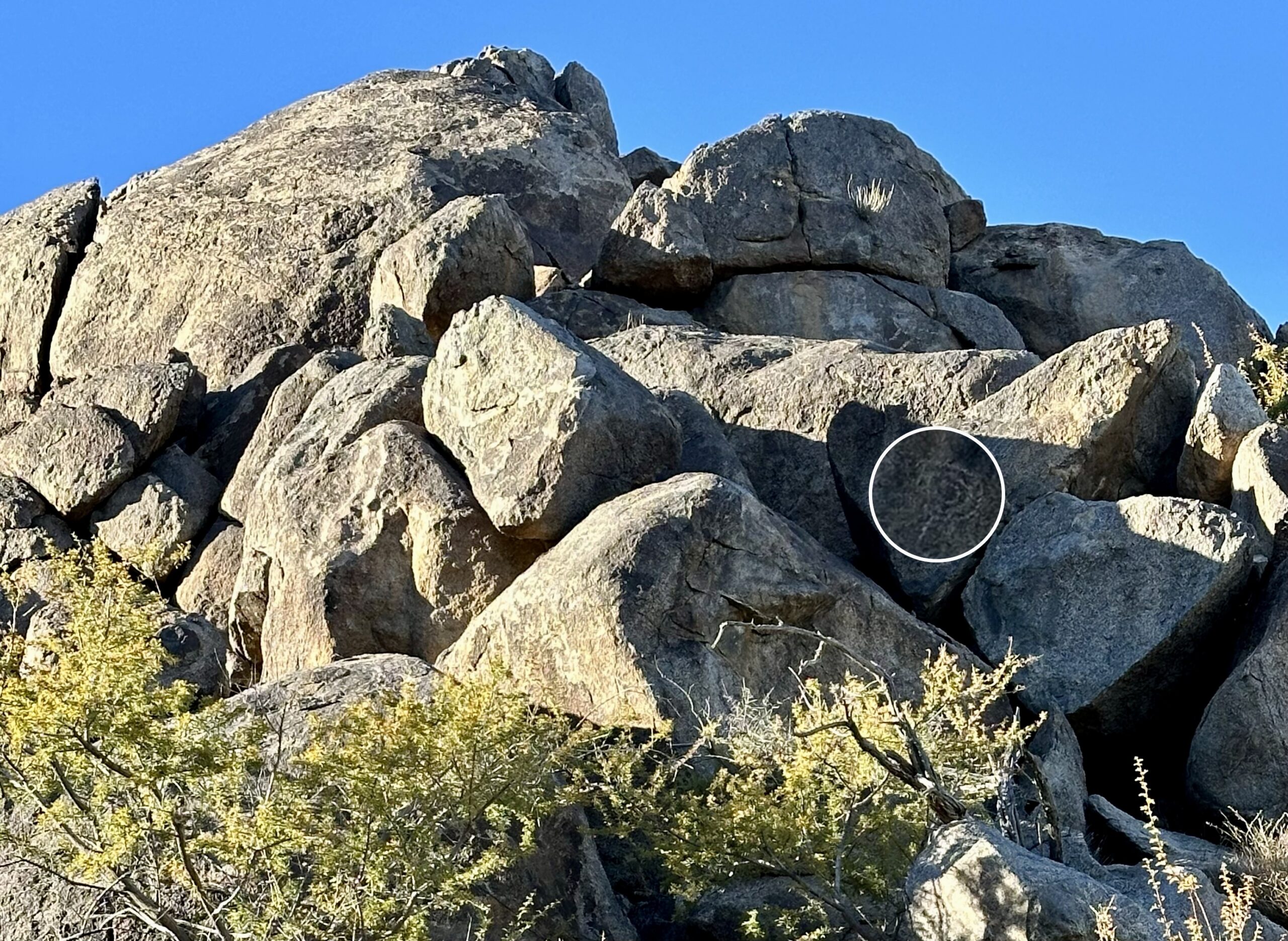
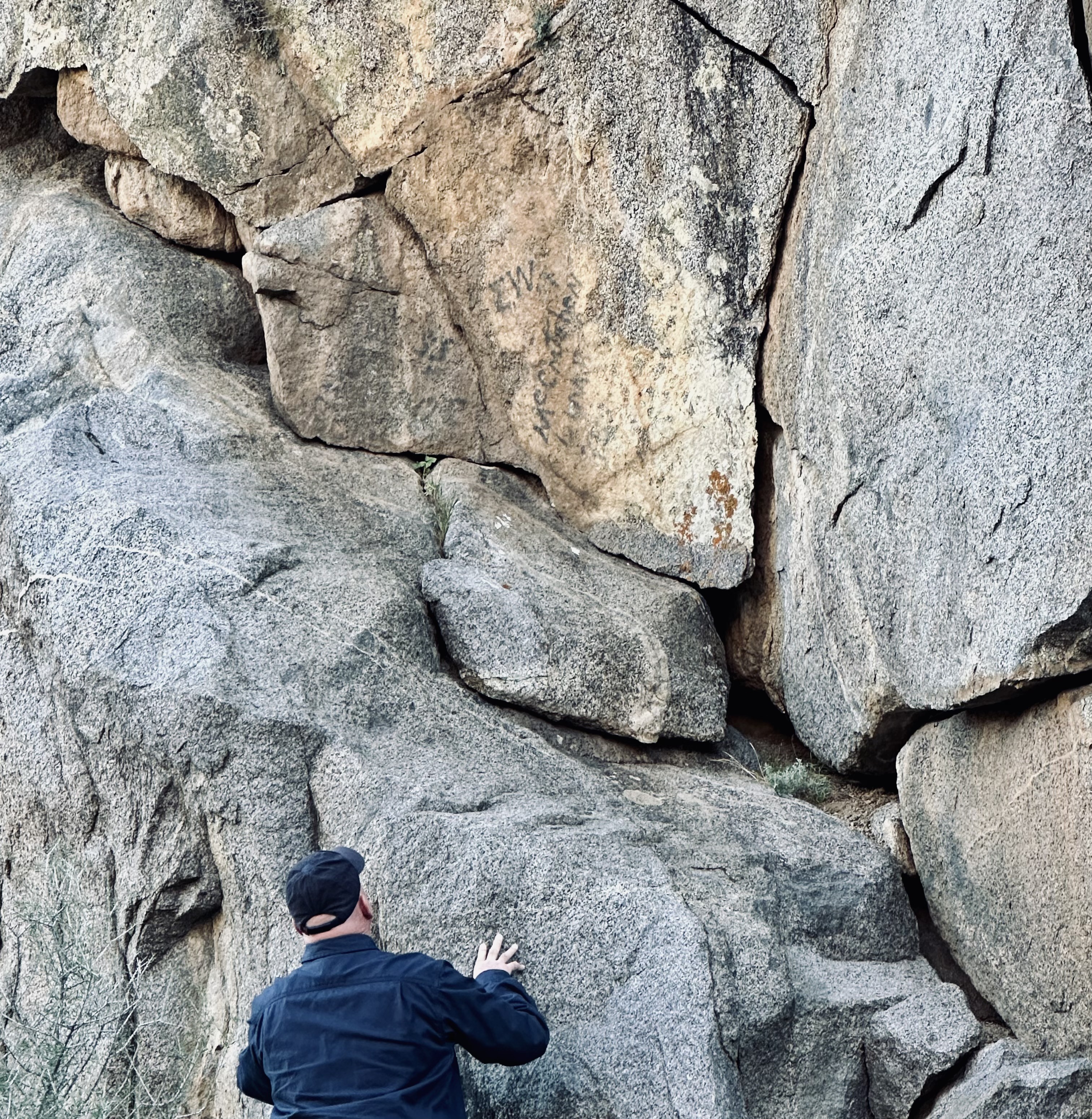
There are signs on the canyon walls of travelers who came through here before us.
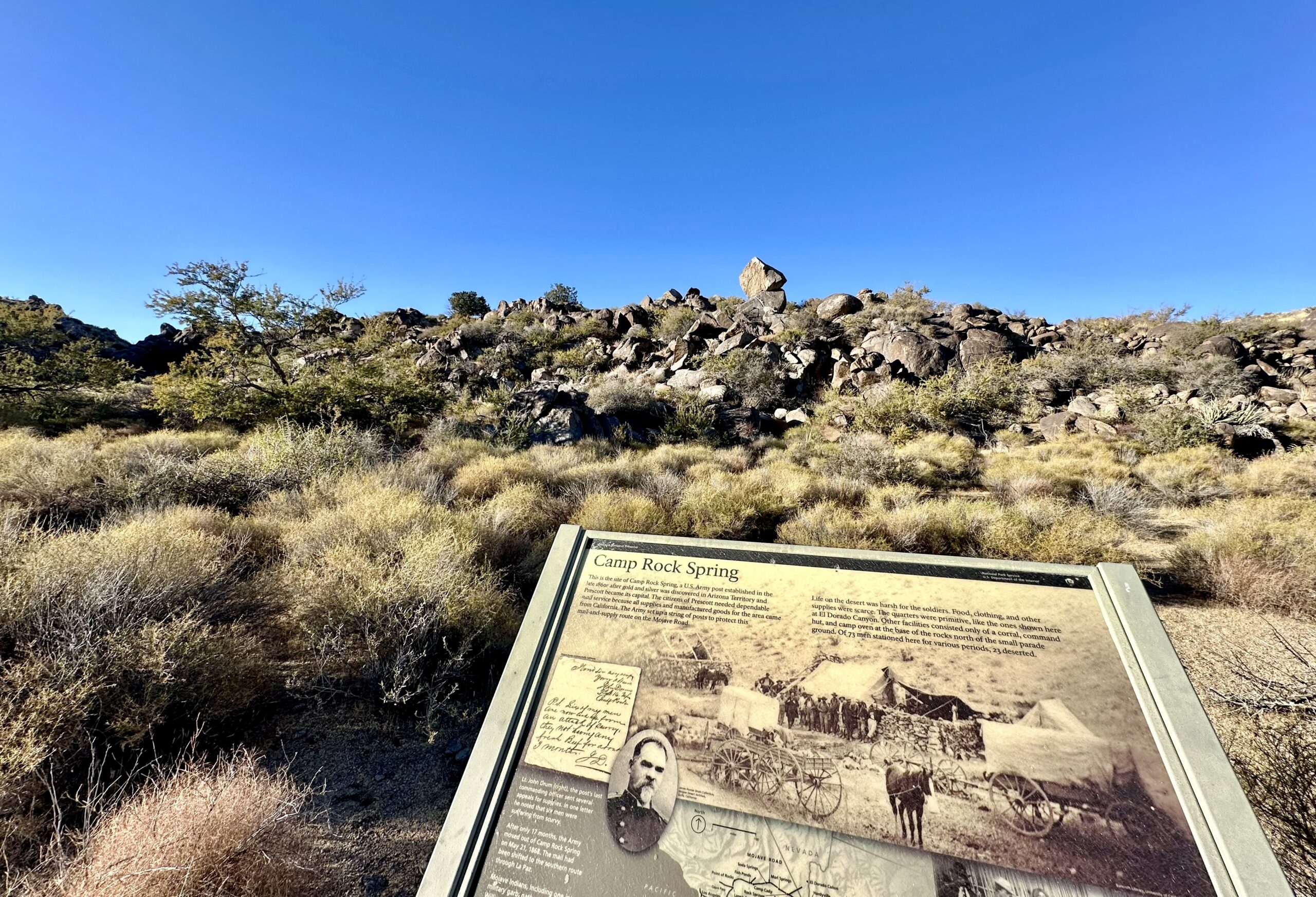
Camp Rock Spring was an army outpost active for only 17 months in the 1860s to protect mail and early travelers that passed along the route.
“Life on the desert was harsh for the soldiers. Food, clothing, and other supplies were scarce. The quarters were primitive, like the ones shown here at El Dorado Canyon. Other facilities consisted only of a corral, command hut, and camp oven at the base of the rocks north of the small parade ground. Of 73 men stationed here for various periods, 23 deserted.” – NPS

When we got back to the Rock House we discovered this car. The owner had restored it and was driving some of the original roads. Although, he did admit is was very uncomfortable and cold to drive. (Makes me glad they don’t make them like they used to.)

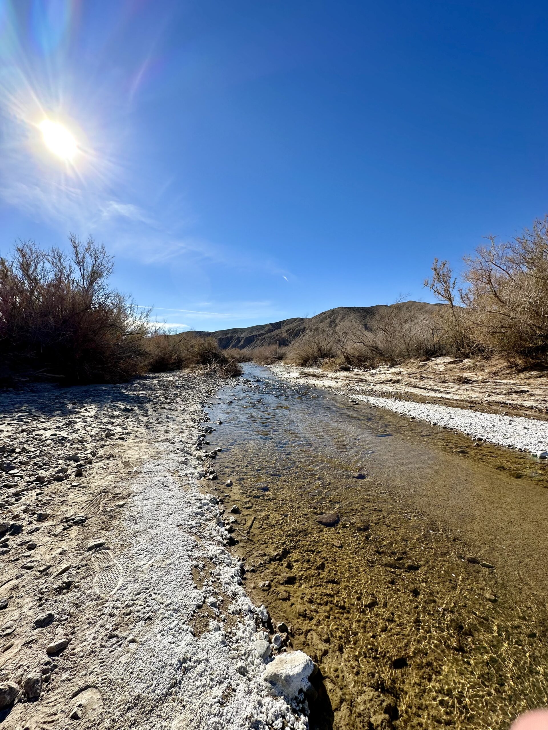
We made three different trips out here to explore with friends. On our last trip we also drove by one of the rare portions of the Armagosa River that is above ground. “The Amargosa River is an intermittent waterway, 185 miles (298 km) long, in southern Nevada and eastern California in the United States…Except for a small portion of its route in the Amargosa Canyon in California and a small portion at Beatty, Nevada, the river flows above ground only after a rare rainstorm washes the region.” – Wikipedia
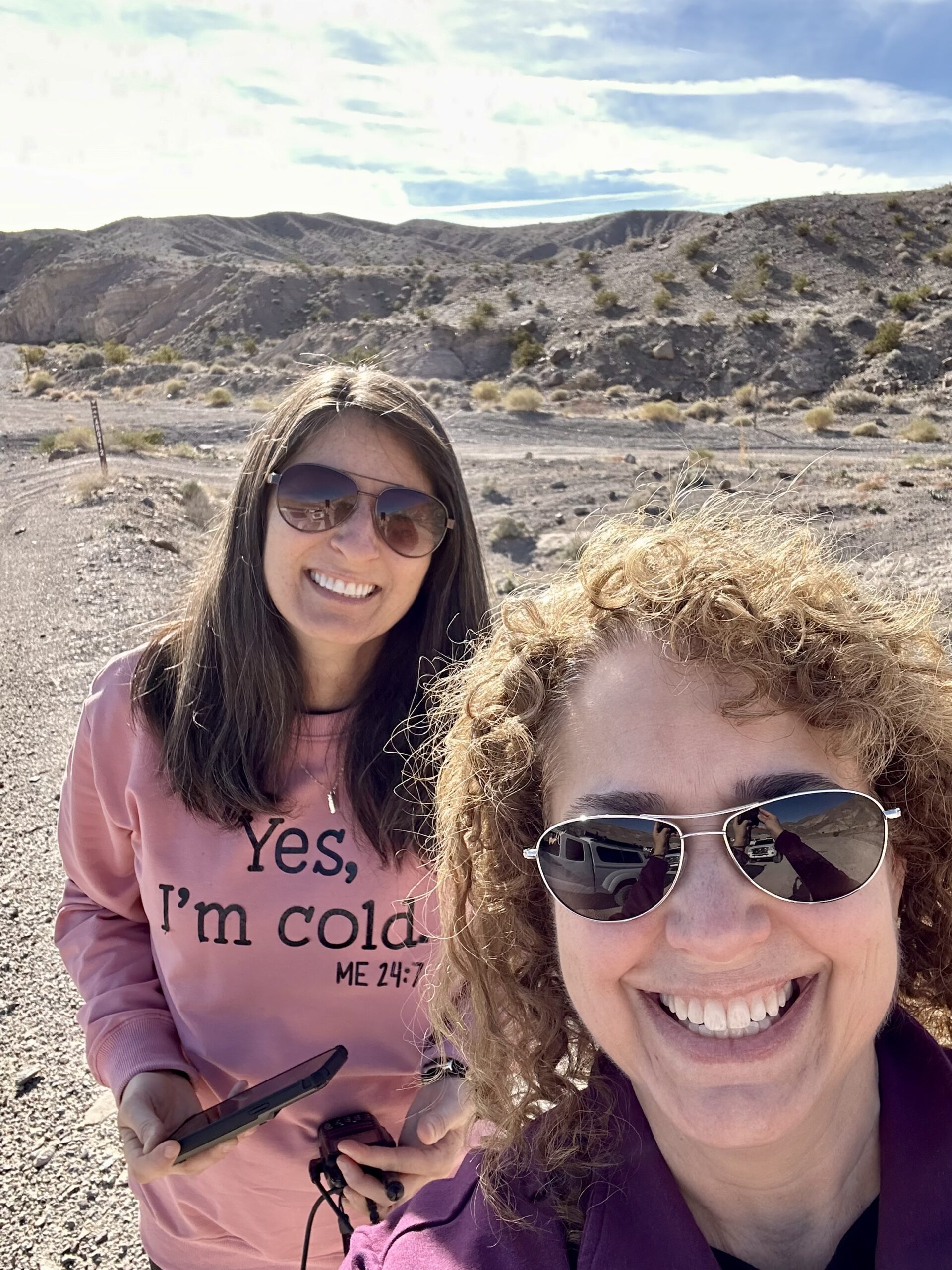
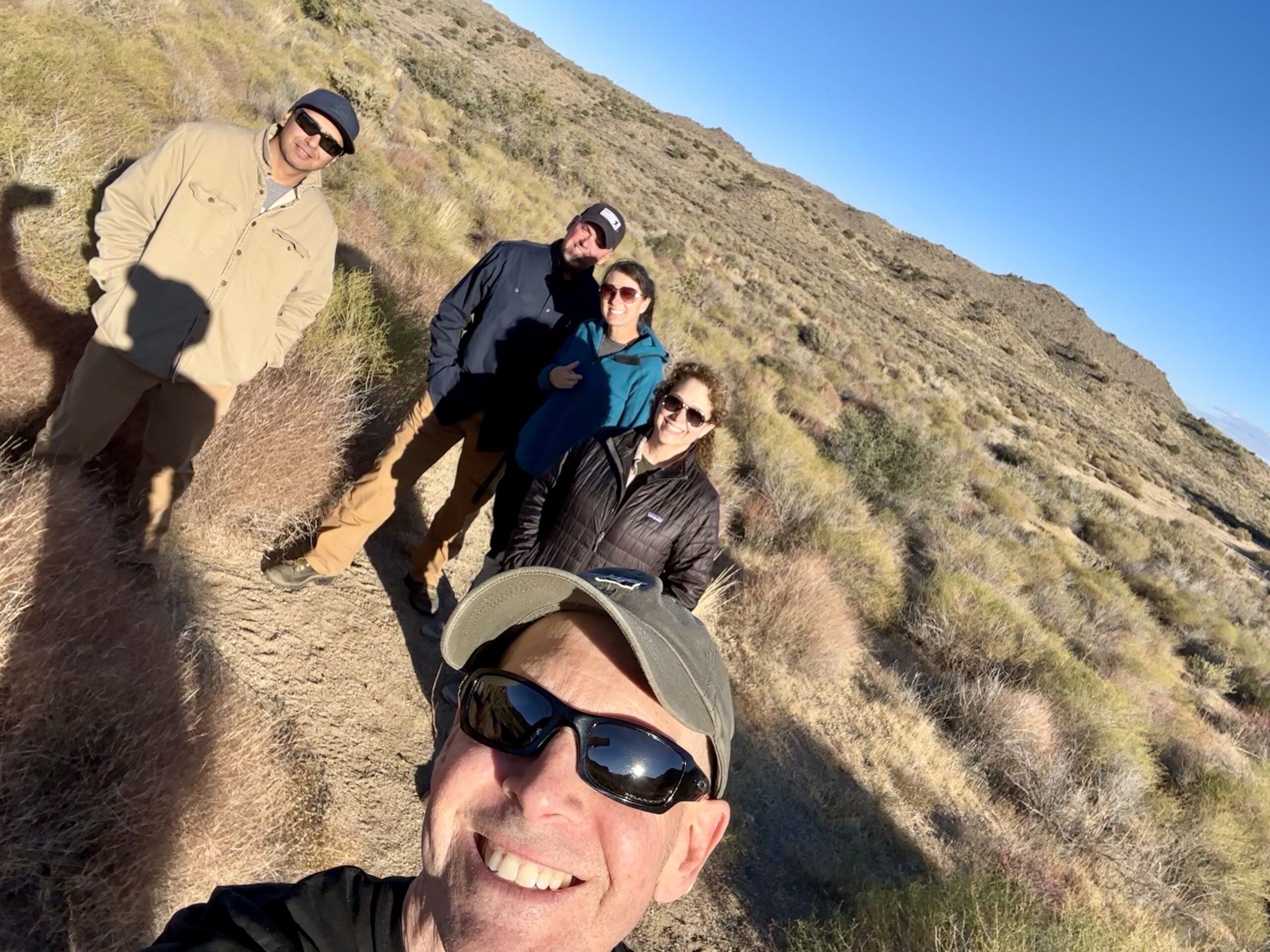
We enjoyed spending time with our friends out in this beautiful part of the country. We know we’ll be back and look forward to seeing what else this desert has to show us.


