We have had a goal to see all National Park sites (400+) for many, many years. Each time we go we learn something new about our country’s history. Our trip to Fredericksburg was no exception.
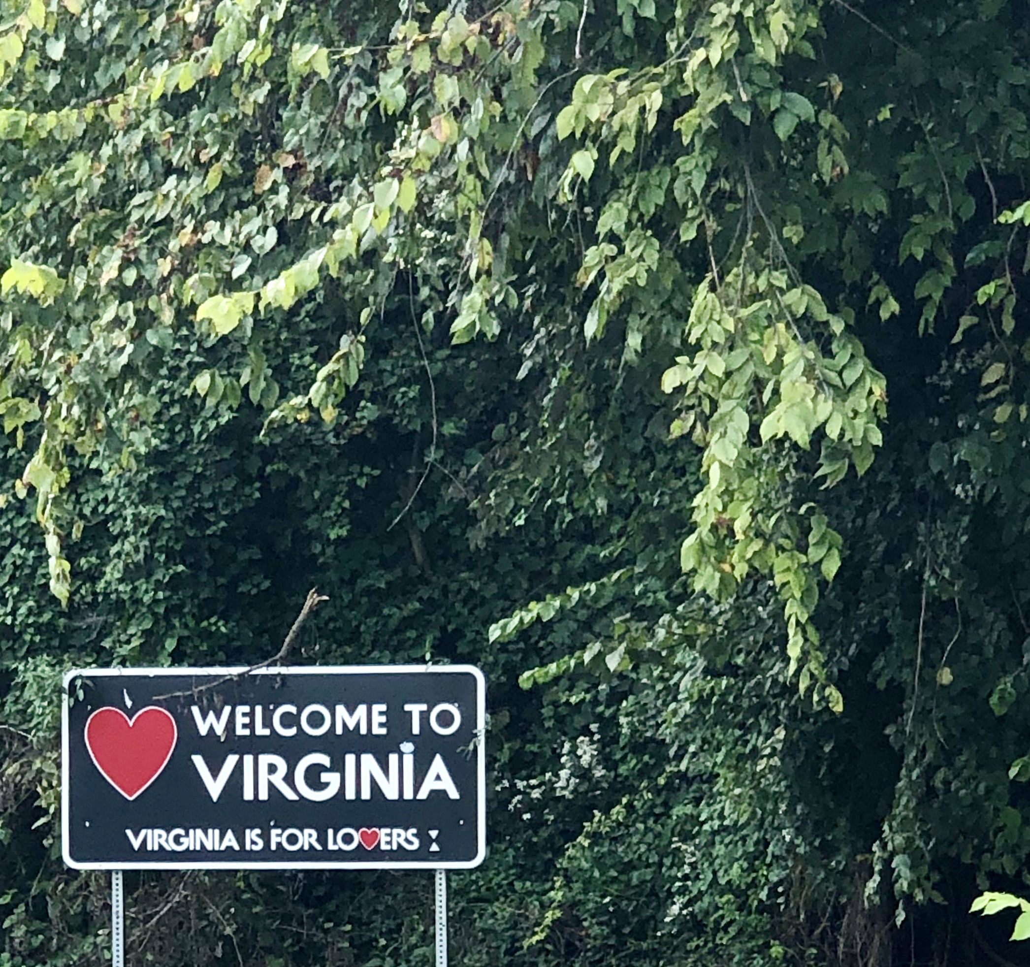
We began our trip with a stop to visit family in northern Virginia, near the Washington, DC area.
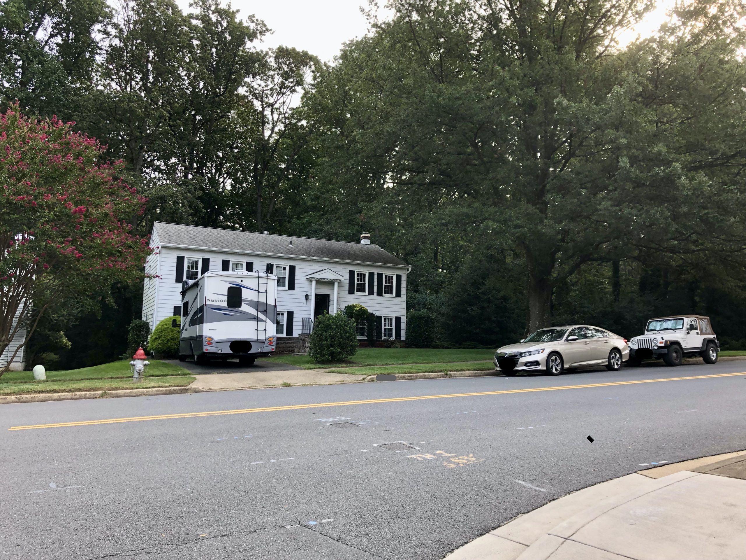
June and Gene were gracious enough to park their car on the street for a few days and let us moochdock in their driveway. As a child I spent a short time living here while my dad worked in DC. I remember the school bus picking me up in front of their home.
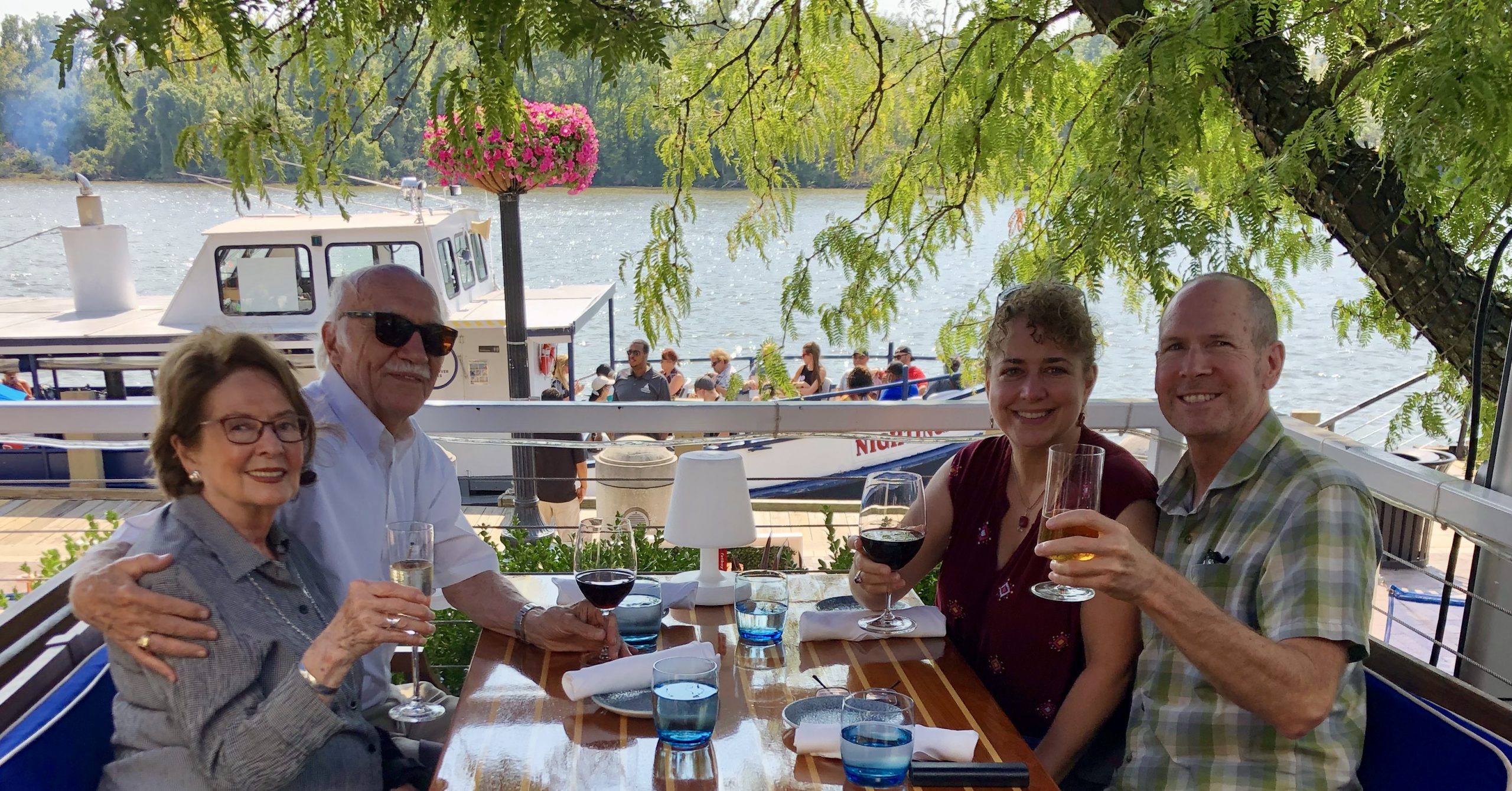
We spent time catching up, which almost always includes a trip in to Georgetown for some great food (June is a huge foodie and we always take her advice on where to go).
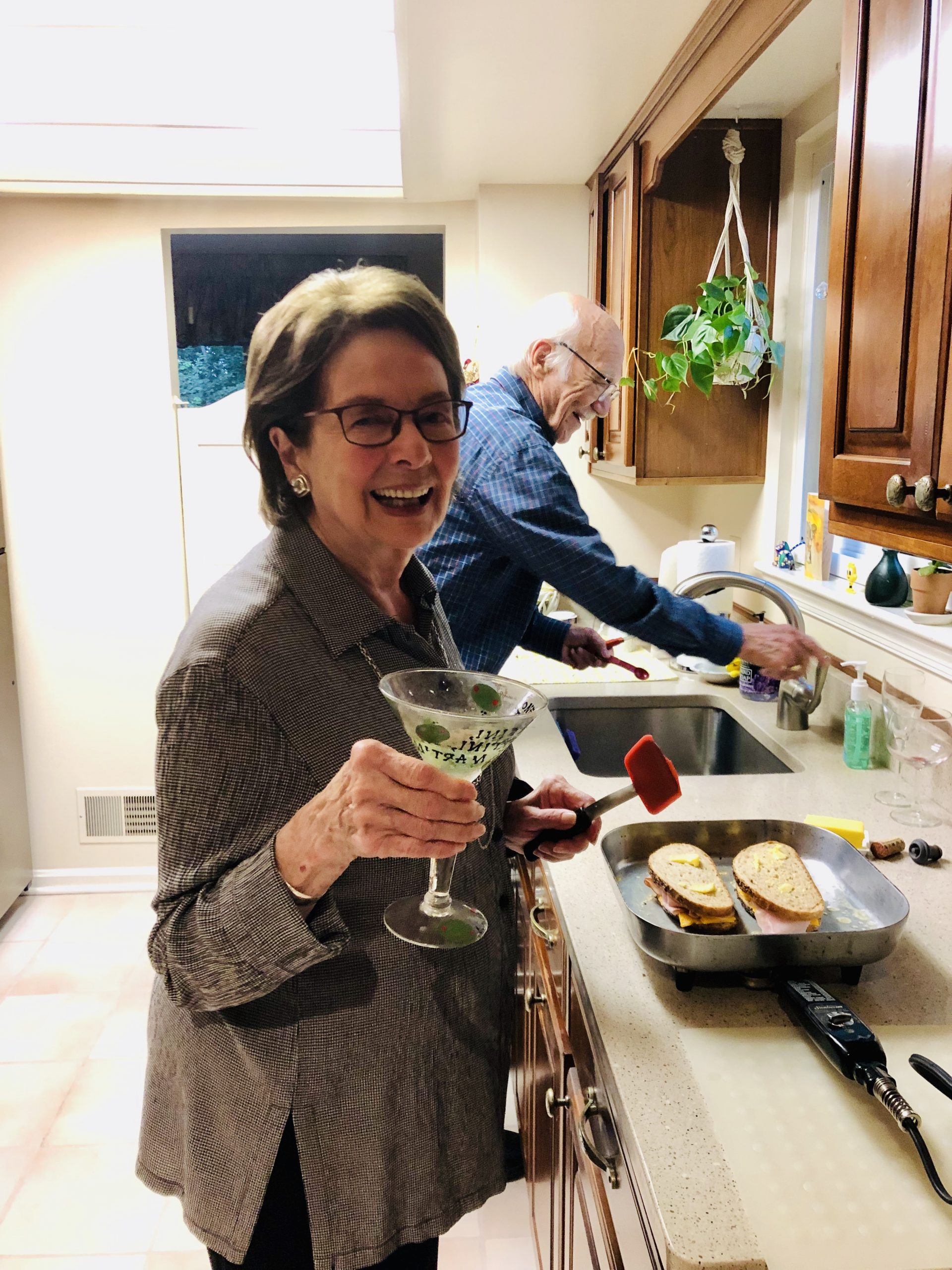
June recently had surgery on her elbow and wore a sling the whole time we were together, but she didn’t let that slow her down. Below is a picture that truly captures June’s fun-loving spirit. Though Gene noted that, as per usual, he was doing all the work in the background. (hehe)
After a few days of catching up we continued south to see Fredericksburg and Spotsylvania County Battlefields Memorial National Military Park. “The lengthy name remains its official designation—75 letters, the longest name of any unit in the national park system.” – Wikipedia
“Fredericksburg, Chancellorsville, Wilderness, and Spotsylvania–this is America’s battleground, where the Civil War roared to its bloody climax. No place more vividly reflects the War’s tragic cost in all its forms. A town bombarded and looted. Farms large and small ruined. Refugees by the thousands forced into the countryside. More than 85,000 men wounded; 15,000 killed–most in graves unknown.” – NPS (National Park Service)
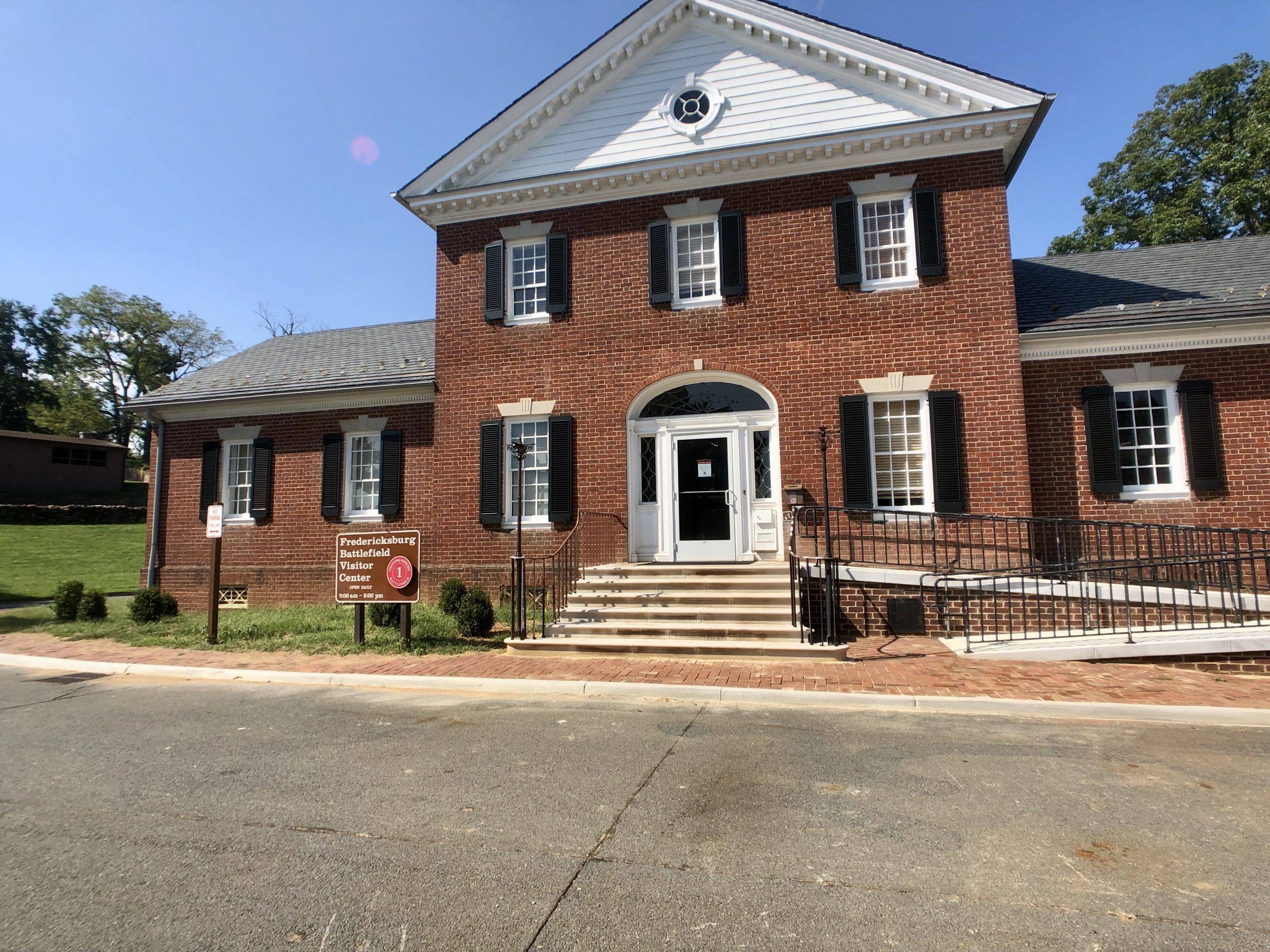
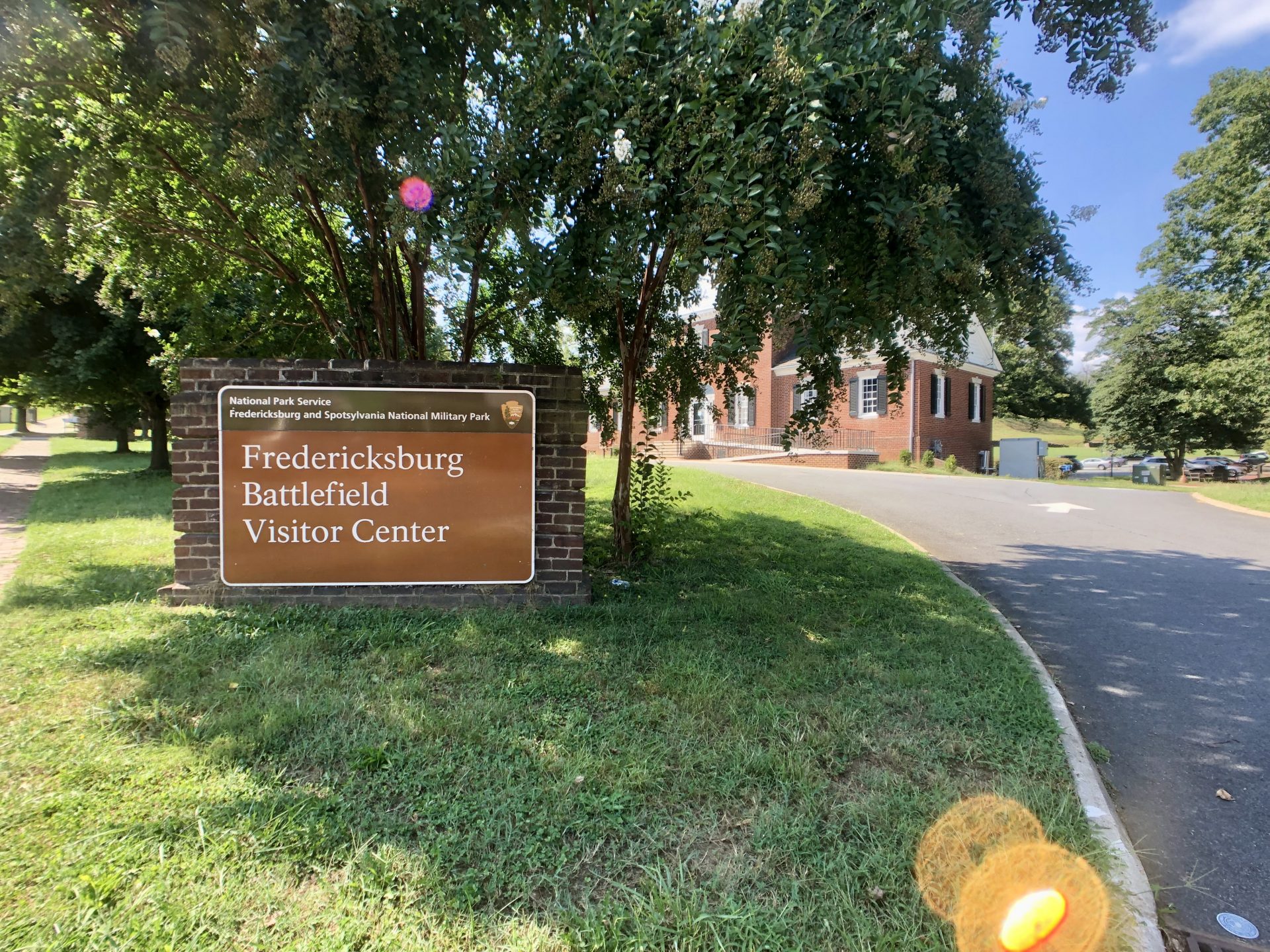
According to the National Park Service (NPS), “Whether you have two hours or two days spend here, we recommend beginning at the Fredericksburg Battlefield Visitor Center…A complete tour of the park covers over 70 miles and includes the most important sites on all four battlefields.”
“Located midway between the Confederate capital of Richmond and the U.S. capital of Washington, D.C., the Rapidan and Rappahannock rivers offered the Confederates opportunities for defense and posed a major obstacle to advancing Union armies. Over 18 months, the Union army staged at least three major campaigns across the rivers near Fredericksburg, resulting in four battles: Fredericksburg (December 1862), Chancellorsville (May 1863), and Wilderness and Spostylvania Court House (May 1864). Together, they caused over 105,000 casualties.” – NPS
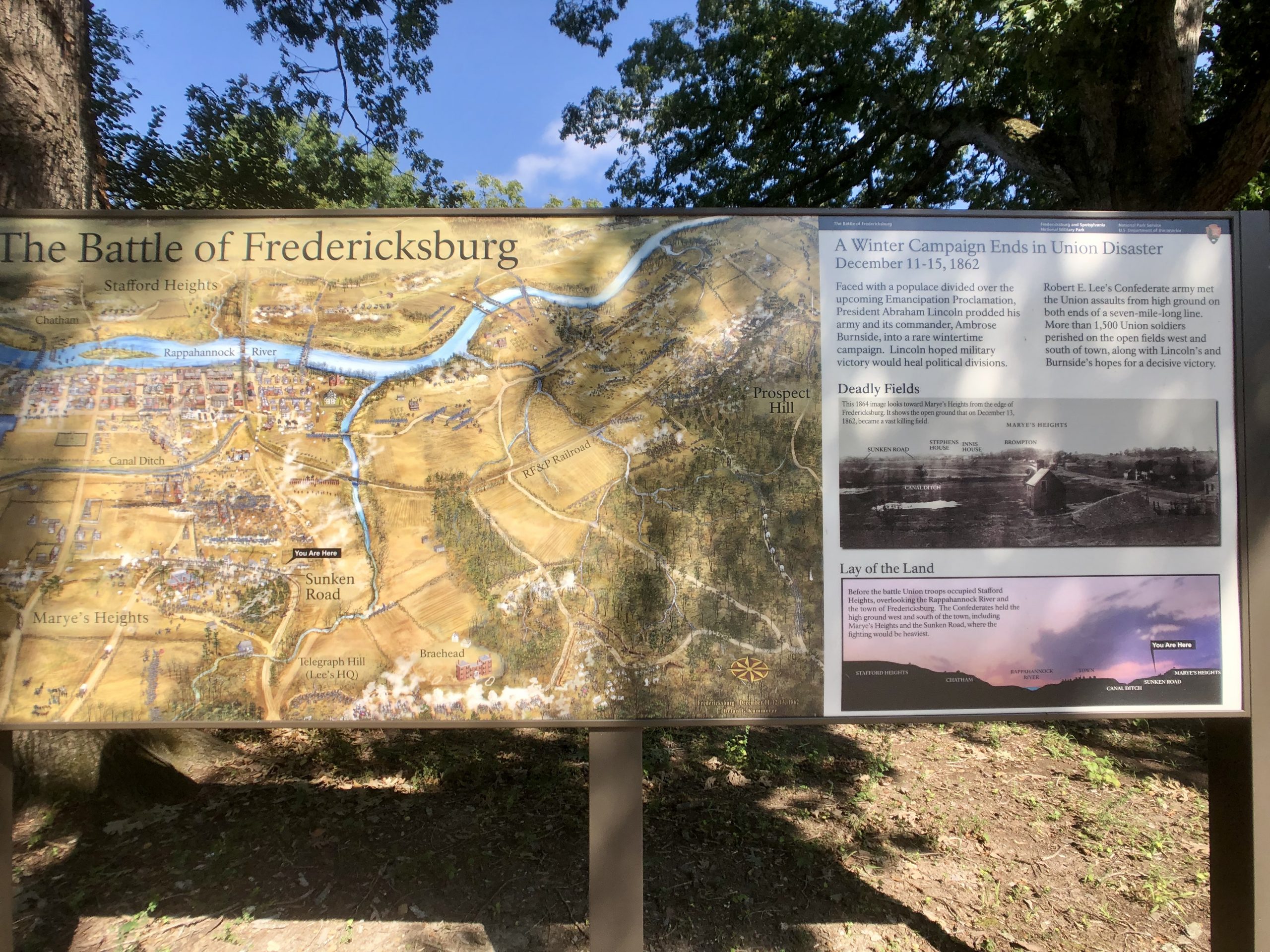
There were quite a few signs, along a very short trail, which explained the battle. It all begins with this sign explaining what was going on at this point in history.
“Faced with a populace divided over the upcoming Emancipation Proclamation, President Abraham Lincoln prodded his army and its commander, Ambrose Burnside, into a rare wintertime campaign. Lincoln hoped military victory would heal political divisions.” – NPS
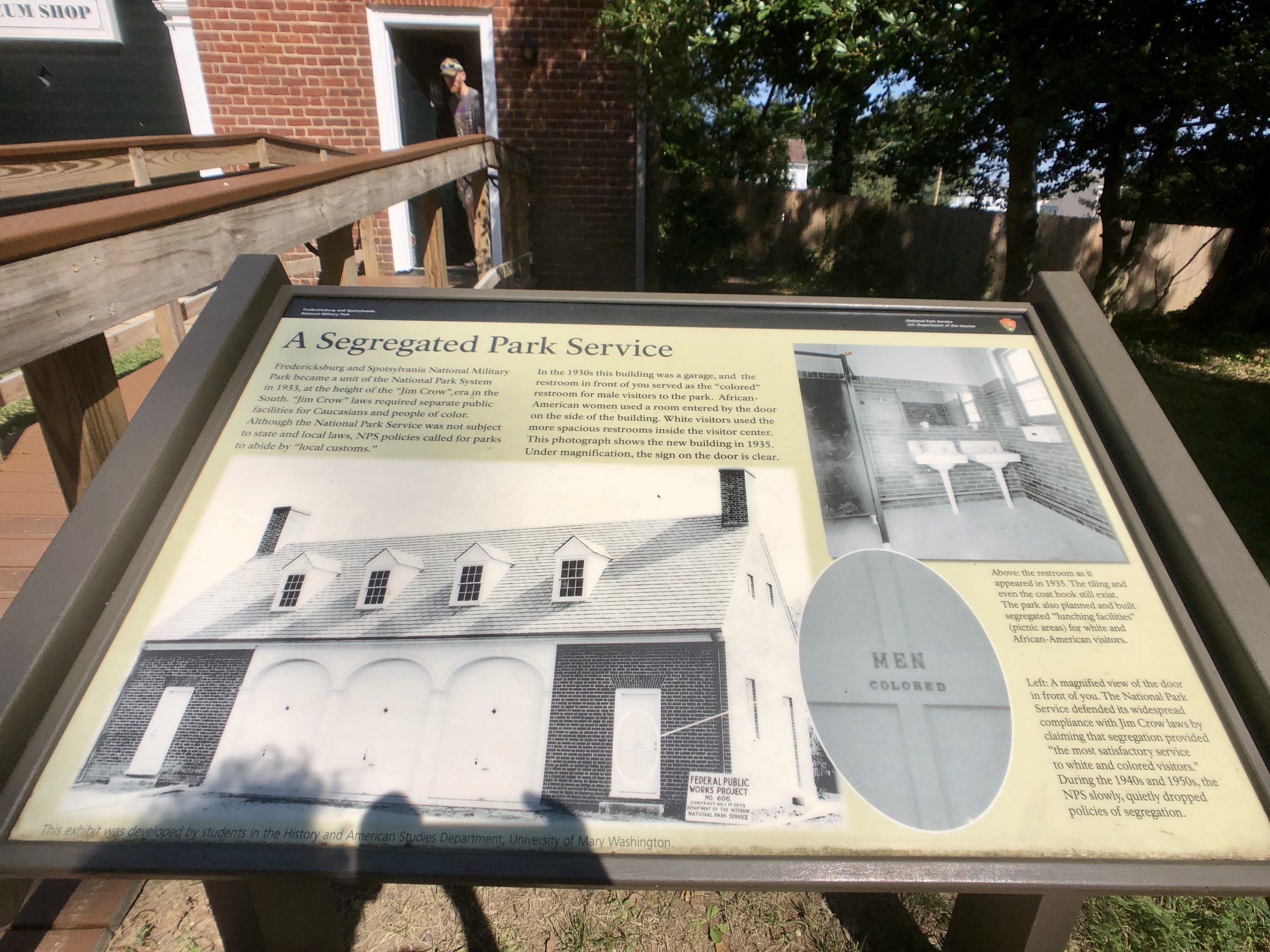
The history at this park wasn’t all from the civil war. This sign explains some more recent history.
“A Segregated Park Service – Fredericksburg and Spotsylvania National Military Park became a unit of the National Park System in 1933, at the height of the “Jim Crow” era in the South. “Jim Crow” laws required separate public facilities for Caucasians and people of color. Although the National Park Service was not subject to state and local laws, NPS policies called for parks to abide by “local customs.” In the 1930s this building was a garage, and the restroom in front of you served as the “colored” restroom for male visitors to the park. African-American women used a room entered by the door on the side of the building. White visitors used the more spacious restrooms inside the visitor center. This photograph shows the new buildings in 1935. Under magnification, the sign on the door is clear.” – NPS
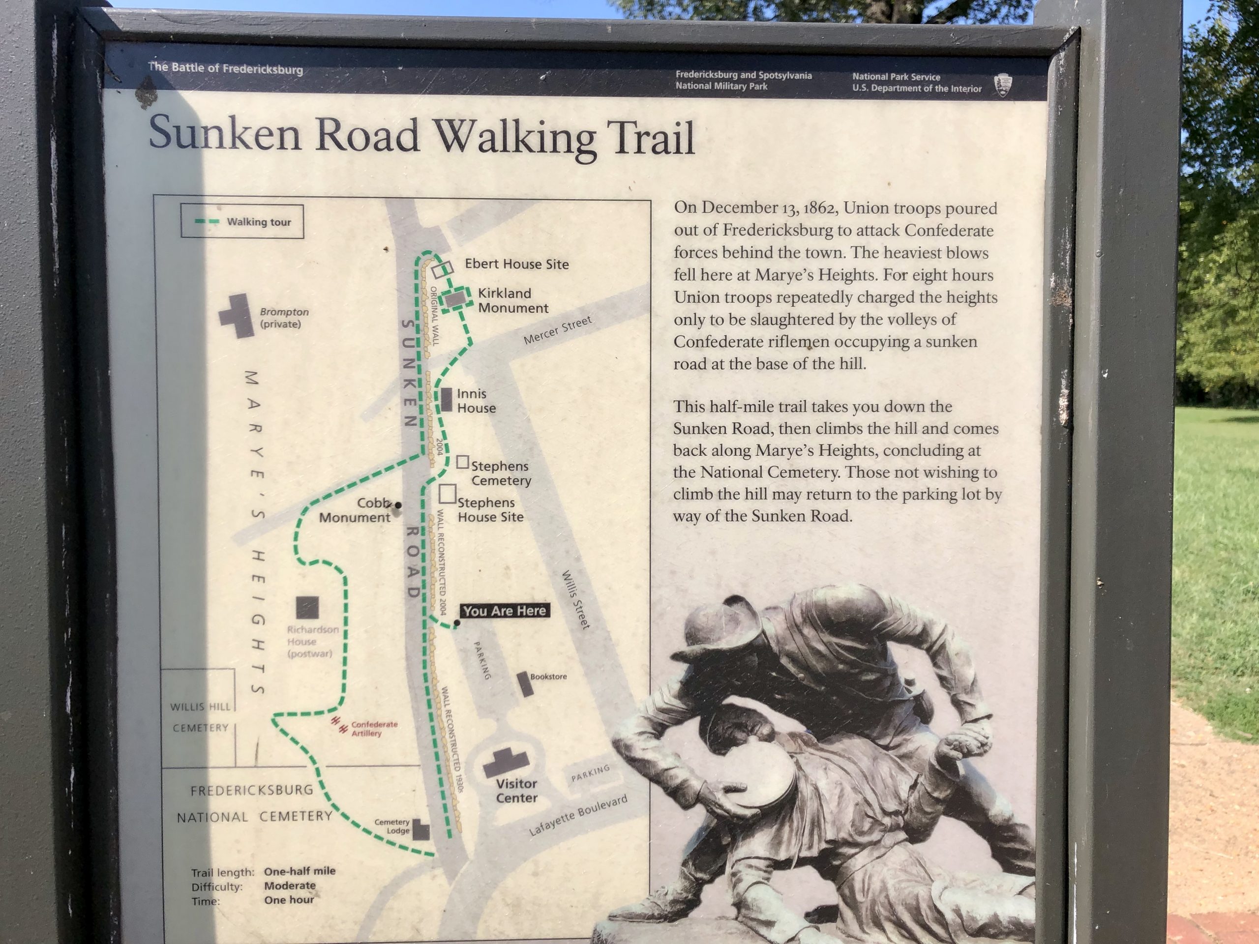
“Sunken Road Walking Trail – On December 13, 1962, Union troops poured out of Fredericksburg to attack Confederate forces behind the town. The heaviest blows fell here at Marye’s Heights. For eight hours Union troops repeatedly charged the heights only to be slaughtered by the volleys of Confederate riflemen occupying a sunken road at the bas of the hill.
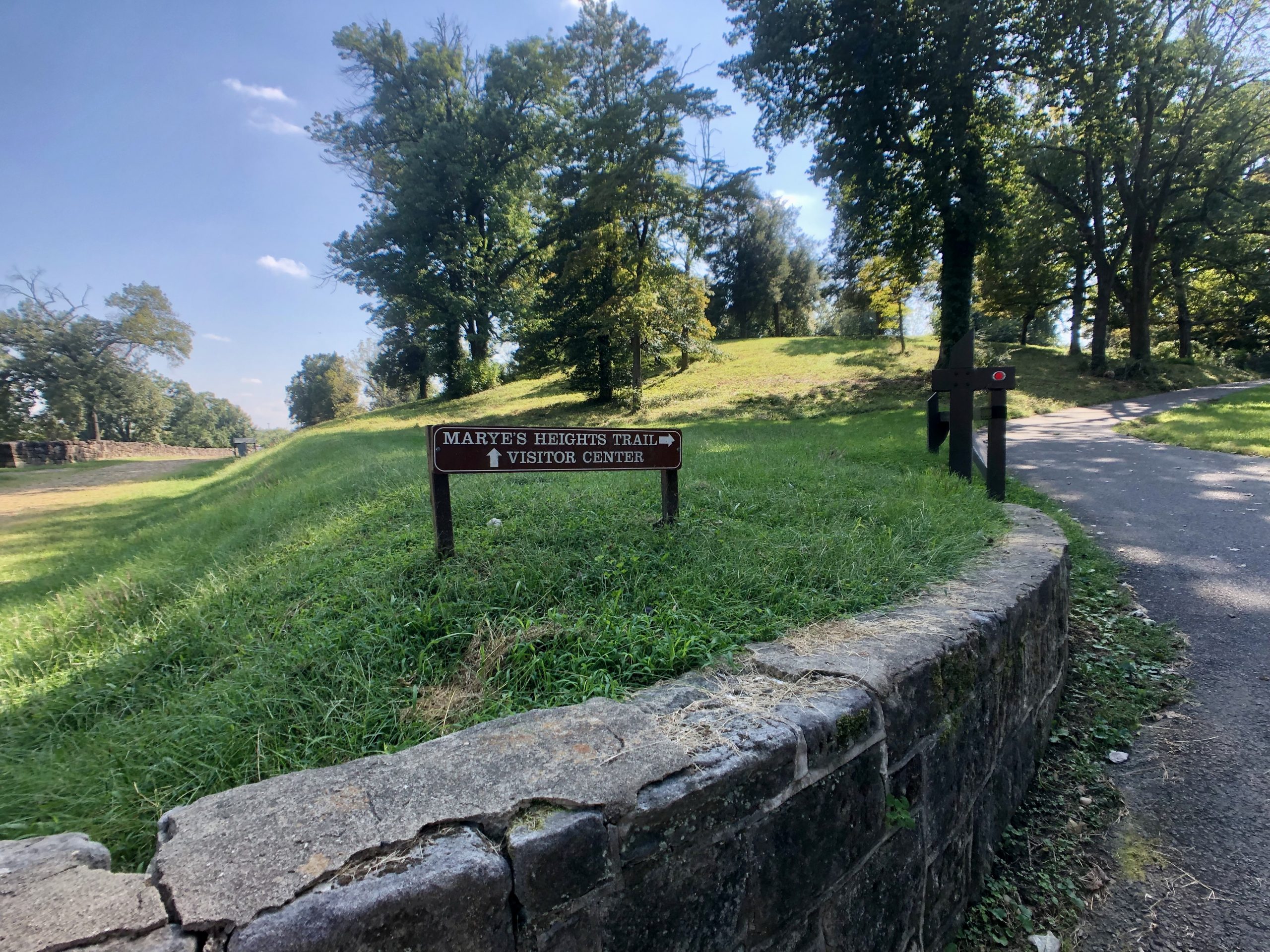
This half-mile trail takes you down the Sunken Road, then climbs the hill and comes back along Marye’s Heights, concluding at the National Cemetery.” – NPS
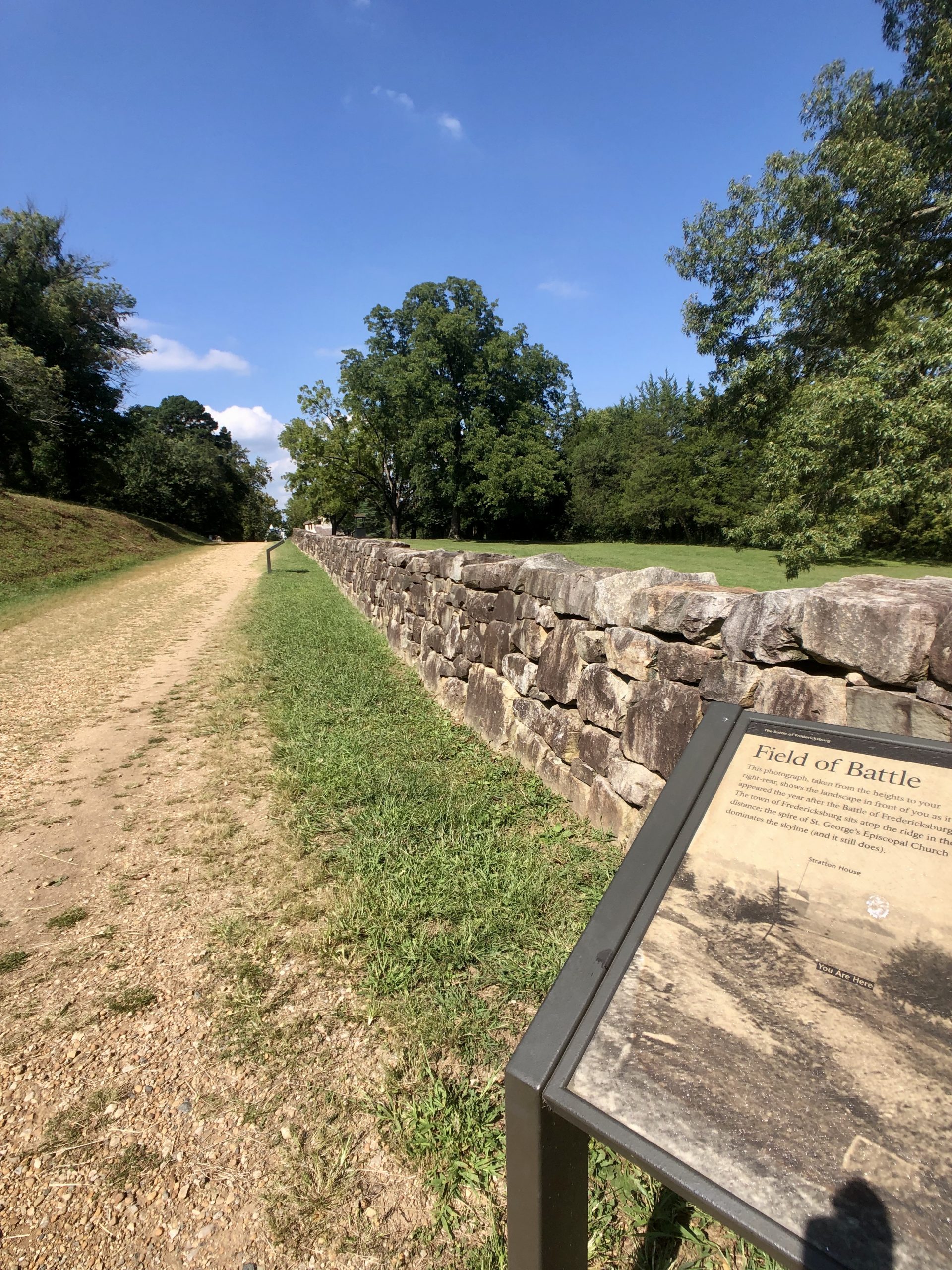
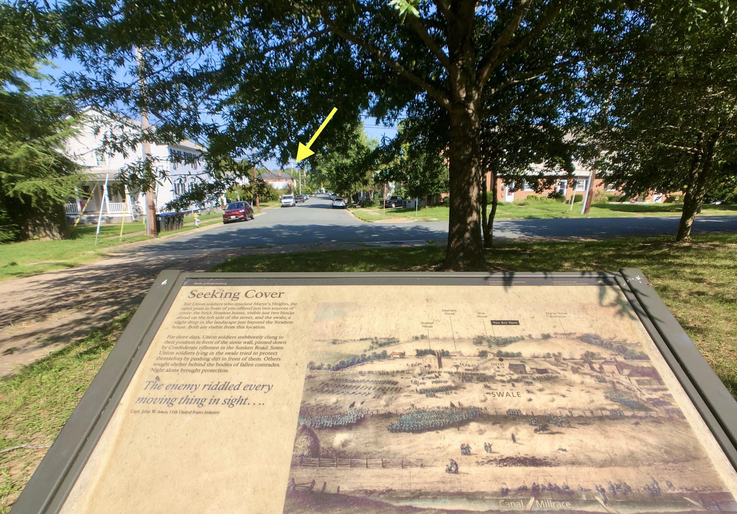
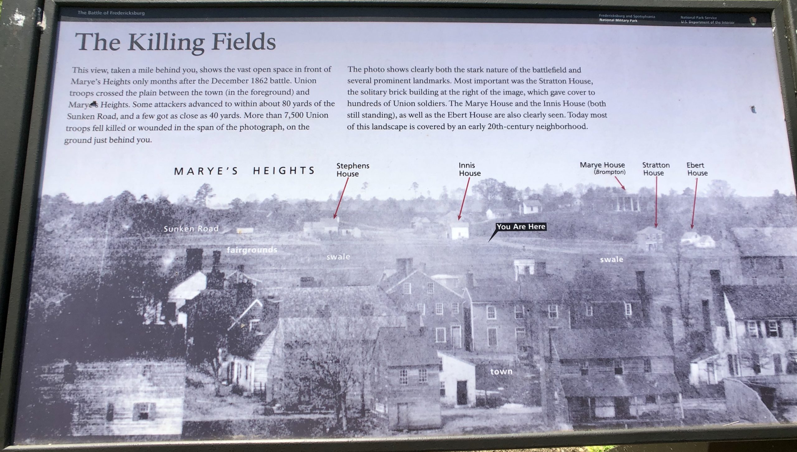
Below is a photograph taken a year after the battle. There is a large tree near the middle of the pictures with the words “You Are Here” typed on it. That is where we were standing when we took the picture above, which is how the battlefield appears today.
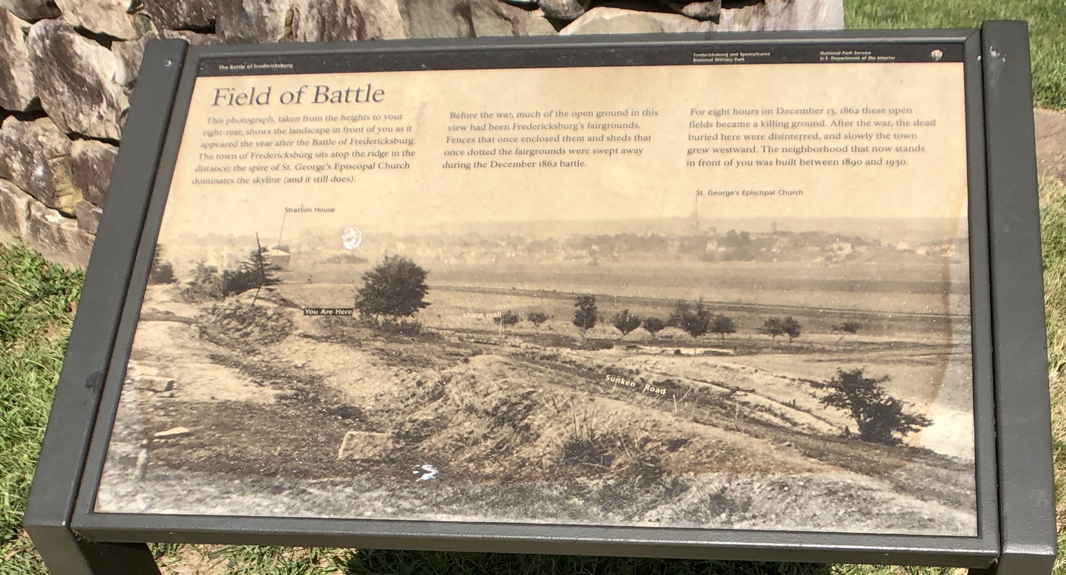
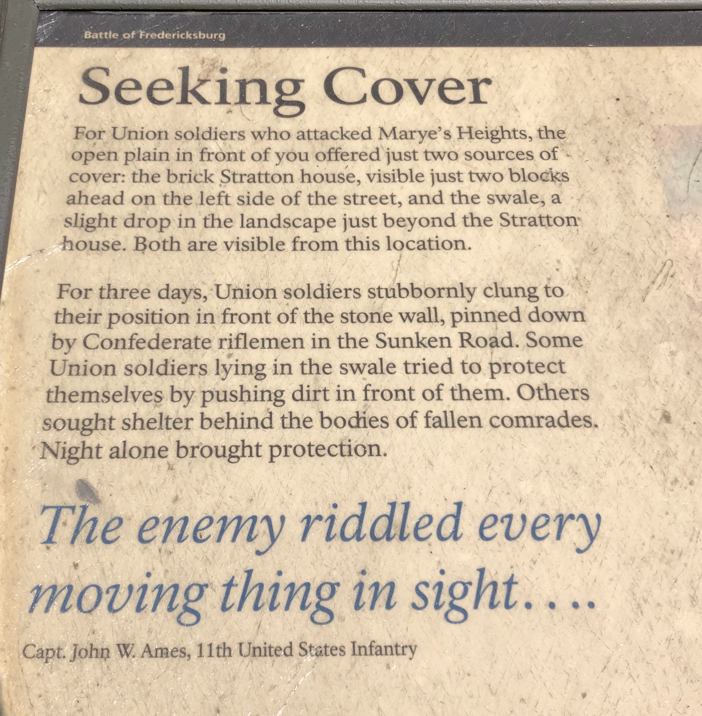
“In 1862 the ground in front of you was an open plain stretching from here to the outskirts of Fredericksburg, one-half mile away. As Union troops left the town to attack Marye’s Heights, they had to break ranks to cross a canal ditch, then knock down fences on an old fairground. For the last 300-400 yards of their advance toward the Sunken Road, they were virtually without cover.
…For eight hours the killing continued. “Our men were slaughtered like sheep,” recalled one Federal soldier. “The whole plain was covered with blankets, haversacks, wounded men and dead men…We stood it as long as we could, and were ordered to fall back – when the whole brigade broke and run…” – NPS
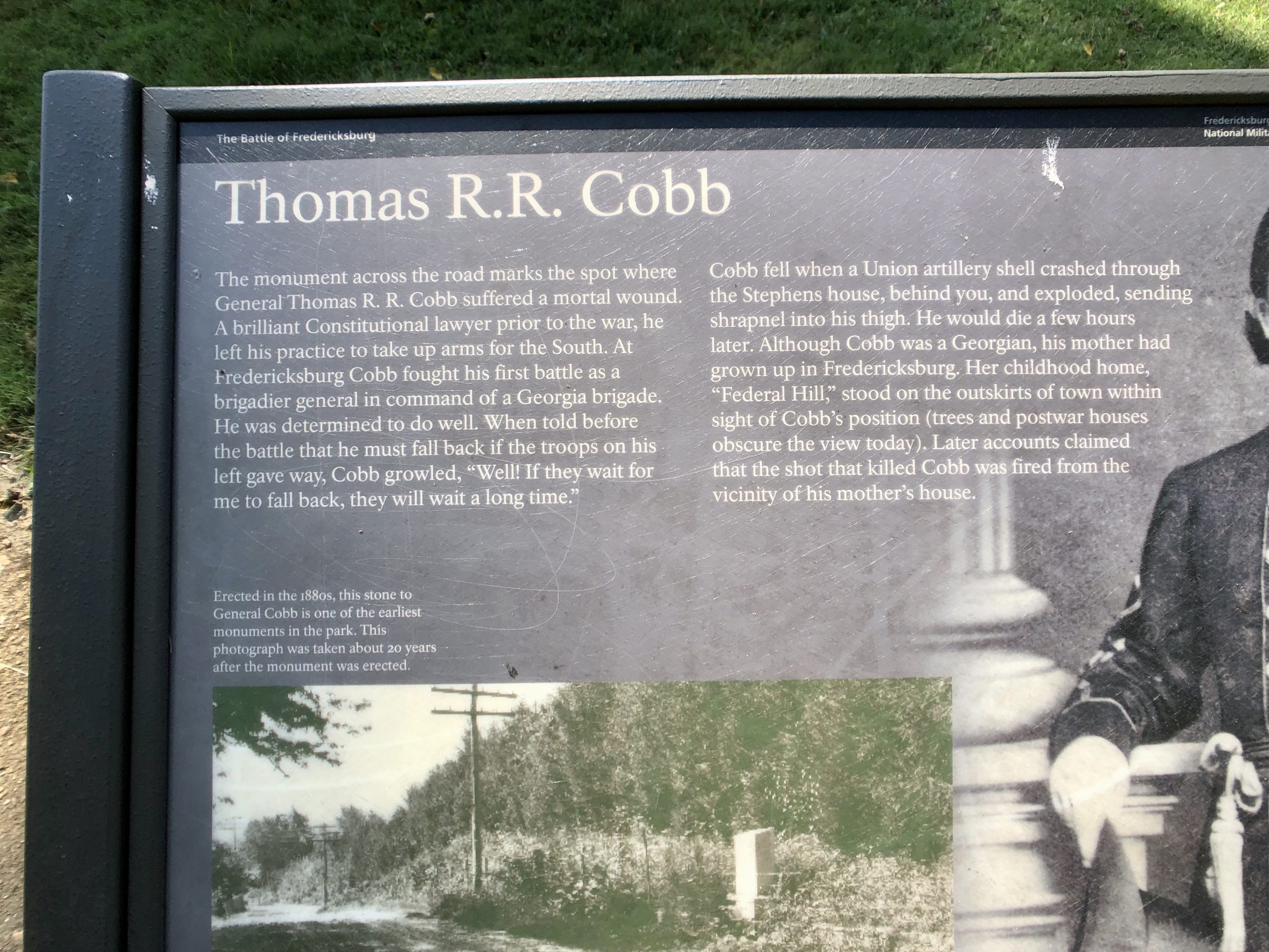
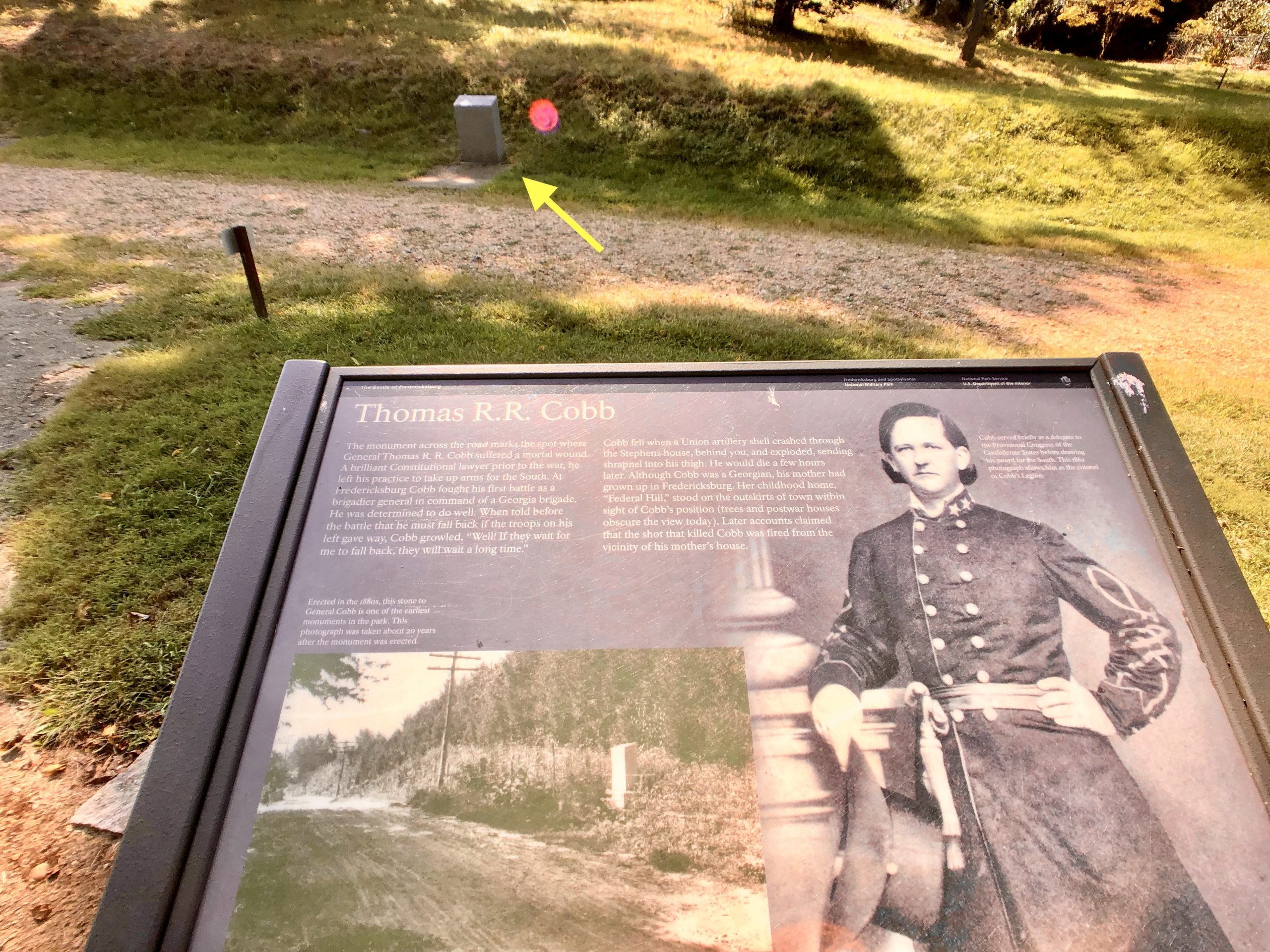
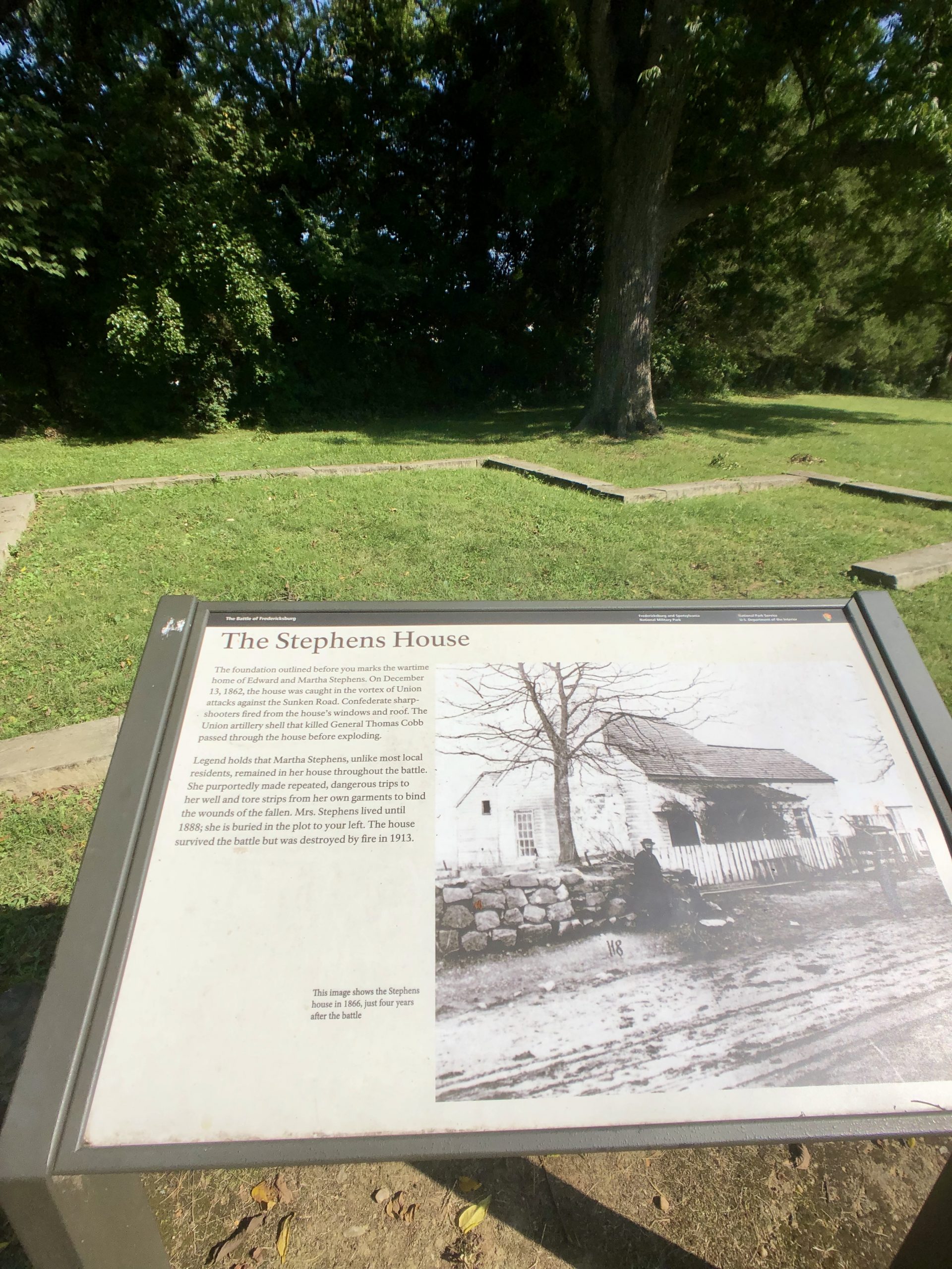
“The Stephens House – The foundation outlined before you marks the wartime home of Edward and Martha Stephens. On December 13, 1862, the house was caught in the vortex of Union attacks against the Sunken Road. Confederate sharpshooters fired from the house’s windows and roof. The Union artillery shell that killed General Thomas Cobb passed through the house before exploding.
Legend holds that Martha Stephens, unlike most local residents, remained in her house throughout the battle. She purportedly made repeated, dangerous trips to her well and tore strips from her own garments to bind the wonds of the fallen. Mrs. Stephens lived until 1888: she is buried in the plot to your left. The house survived the battle but was destroyed by fire in 1913.” – NPS
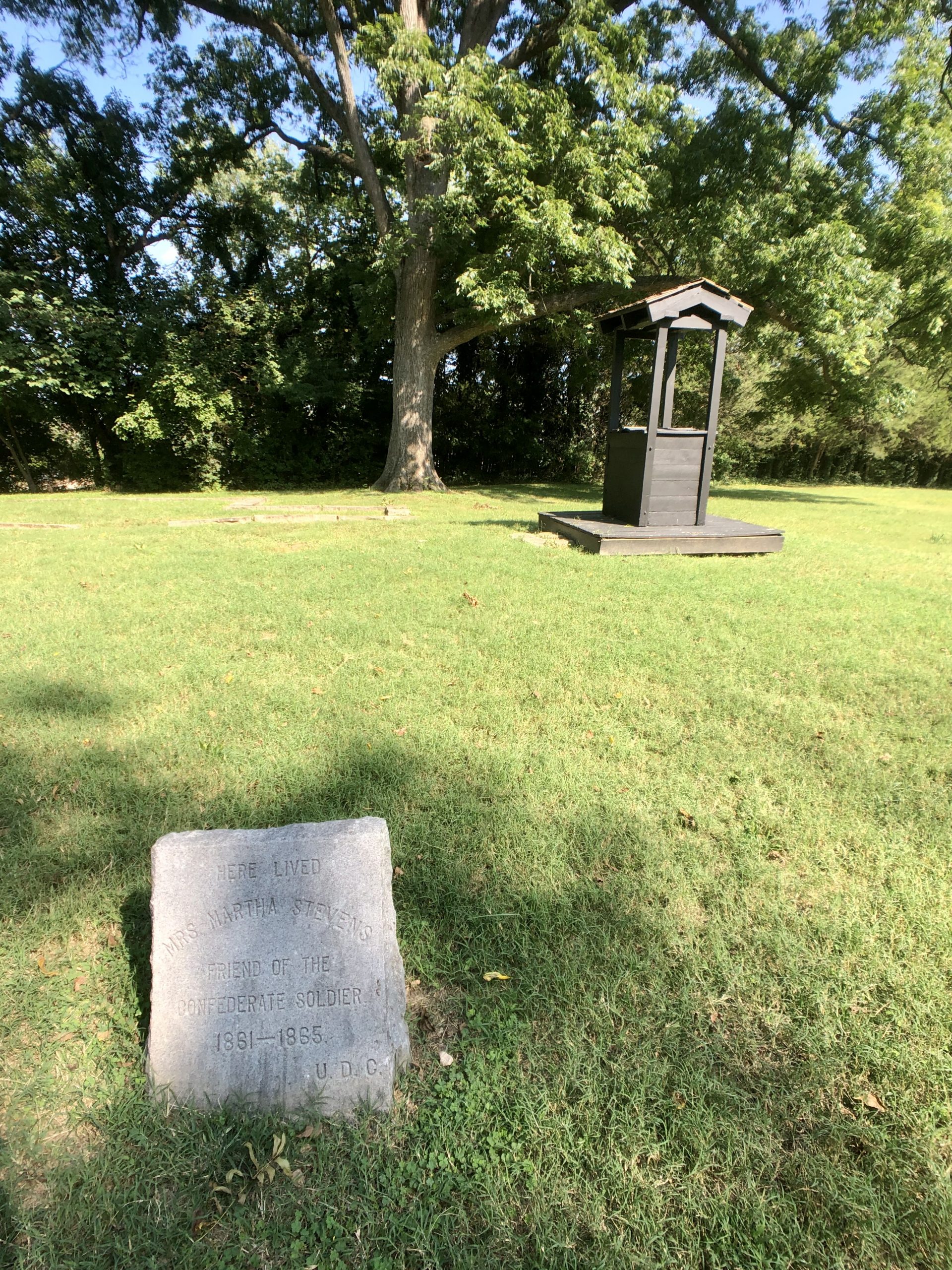
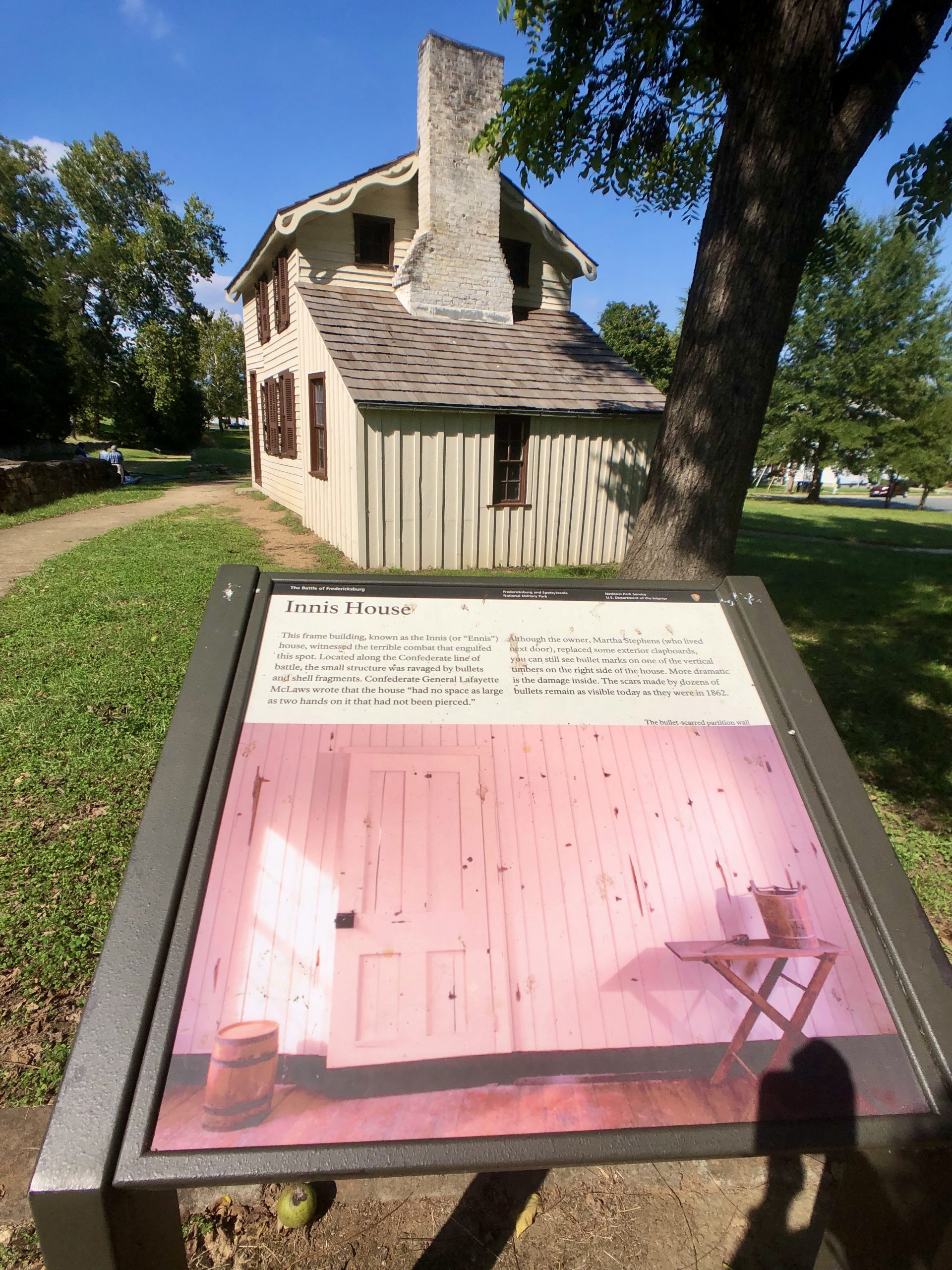
“This frame building, know as the Innis (or “Ennis”) house, witnessed the terrible combat that engulfed this spot. Located along the Confederate line of battle, the small structure was ravaged by bullets and shell fragments. Confederate General Lafayette McLaws wrote that the house “had no space as large as two hands on it that had not been pierced.”
Although the owner, Martha Stephens (who lived next door), replaced some exterior clapboards, you can still see bullet marks on one of the vertical timbers on the right side of the house. More dramatic is the damage inside. The scars made by dozens of bullets remain as visible today as they were in 1862.” – NPS
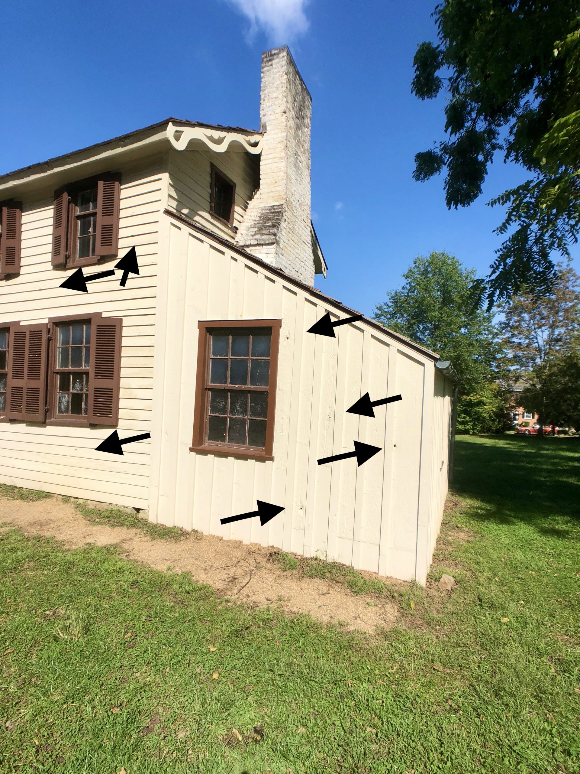
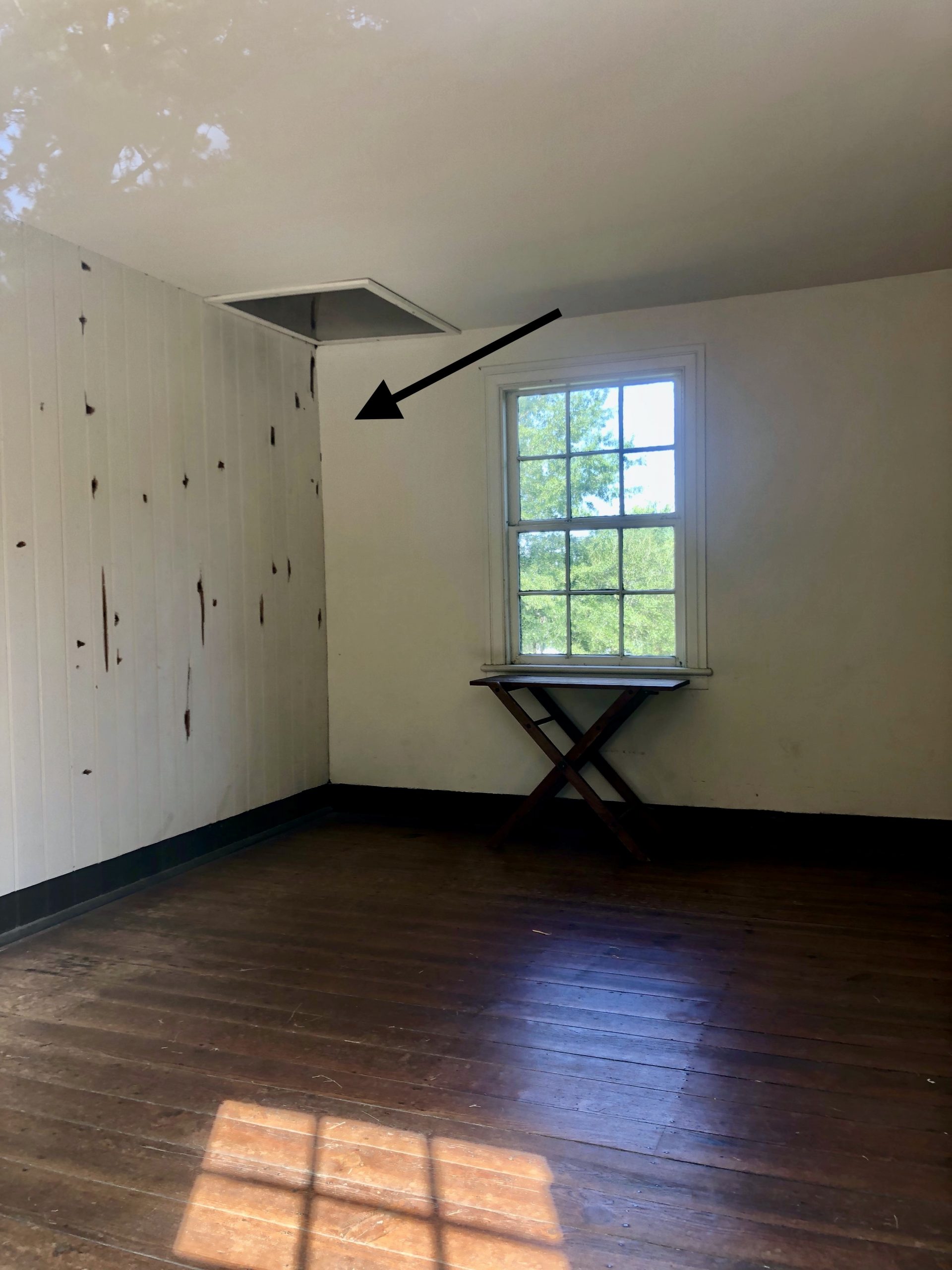
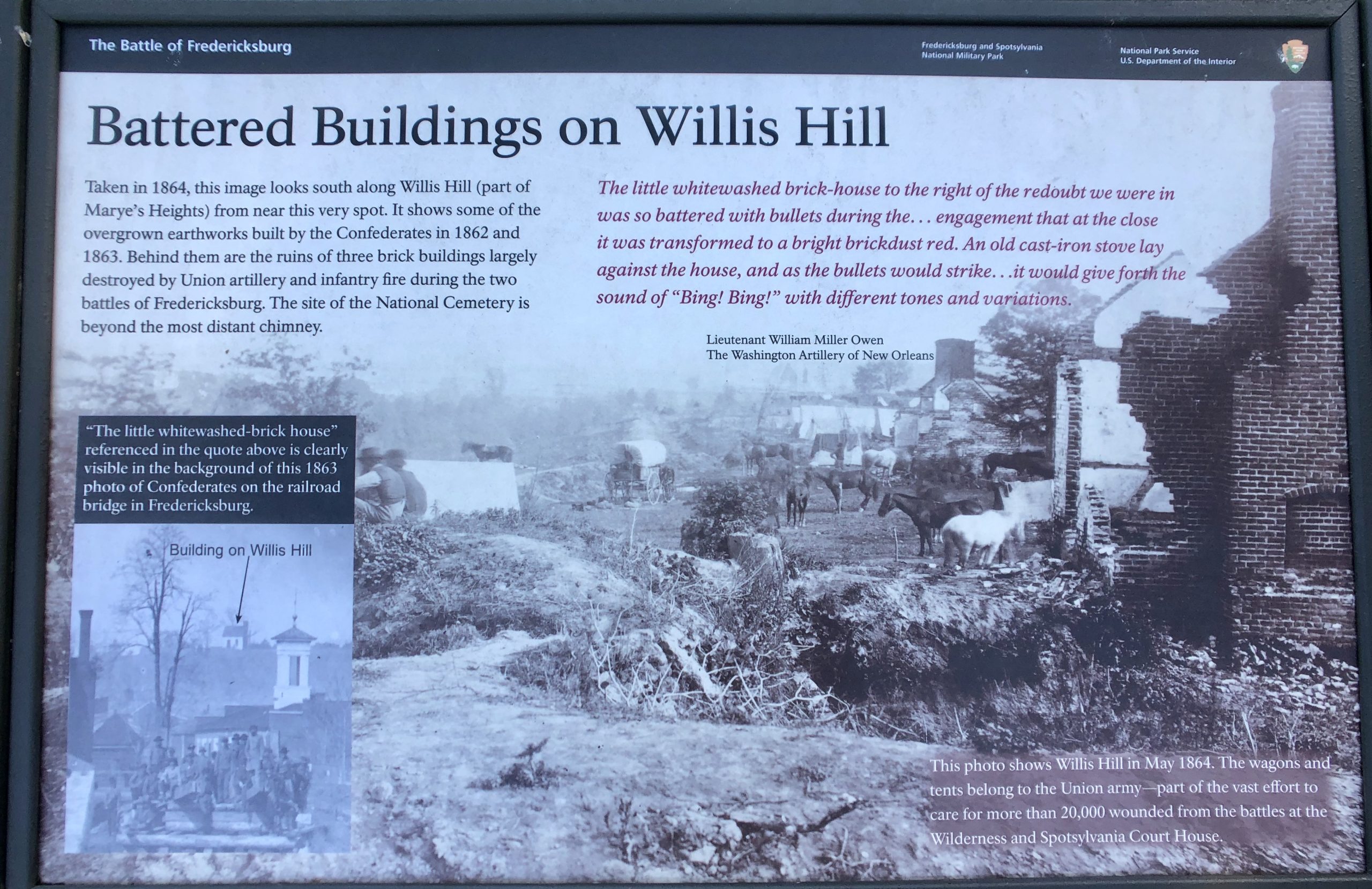
The picture below was taken about a mile from the Sunken Road just a few months after the December 1862 battle. “The photo shows clearly both the stark nature of the battlefield and several prominent landmarks. Most import was the Stratton House, the solitary brick building at the right of the image, which gave cover to hundreds of Union soldiers. The Marye House and the Innis House (both still standing), as well as the Ebert House are also clearly seen. Today most of this landscape is covered by an early 20th-century neighborhood.” – NPS
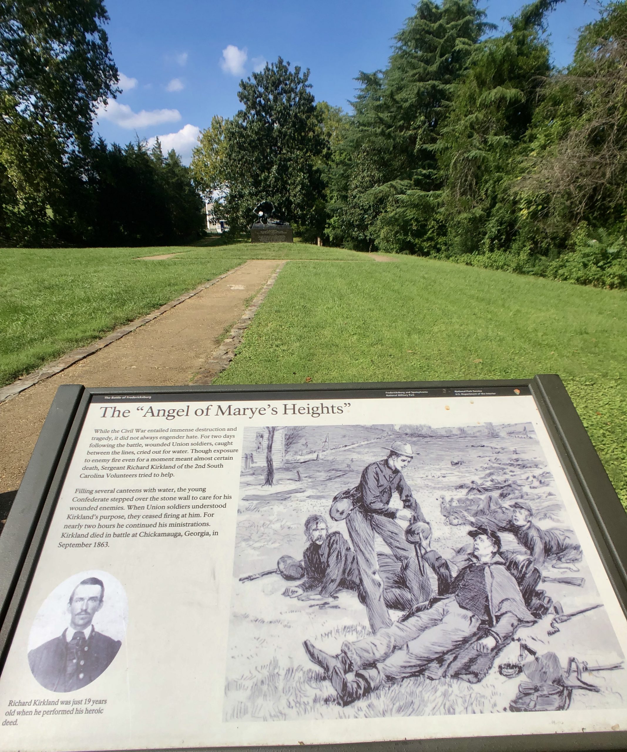
“The “Angel of Marye’s Heights” – While the Civil War entailed destruction and tragedy, it did not always engender hate. For two days following the battle, wounded Union soldiers, caught between the lines, cried out for water. Though exposure to enemy fire even for a moment meant almost certain death, Sergeant Richard Kirkland of the 2nd South Carolina Volunteers tried to help.
Filling several canteens with water, the young Confederate stepped over the stone wall to care for his wounded enemies. When Union soldiers understood Kirkland’s purpose, they ceased firing at him. For nearly two hours he continued his ministrations. Kirkland died in battle at Chickamauga, Georgia in September 1863.” – NPS
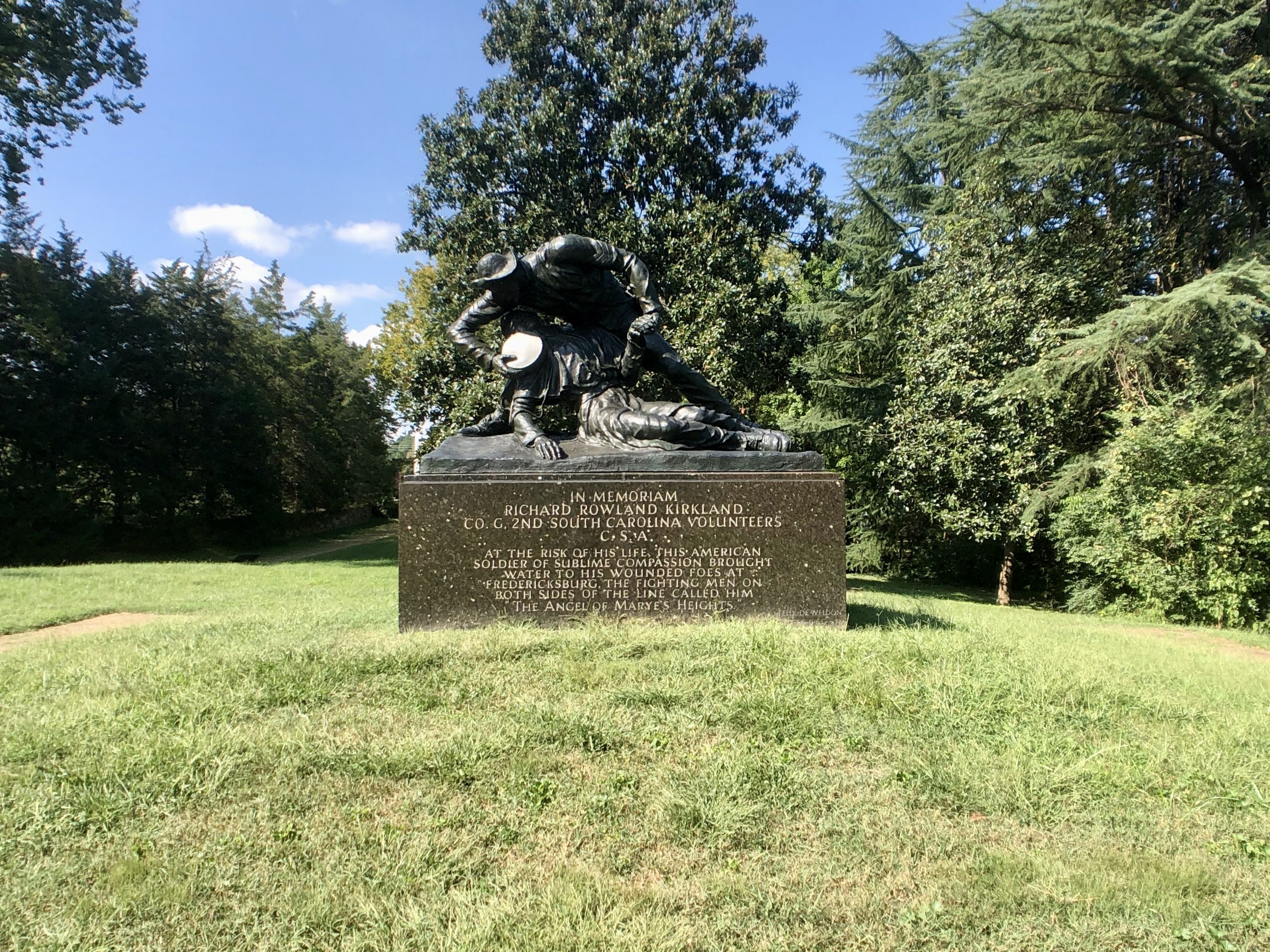
This monument was placed here in his honor. “Richard Kirkland was just 19 years old when he performed his heroic deed.” – NPS
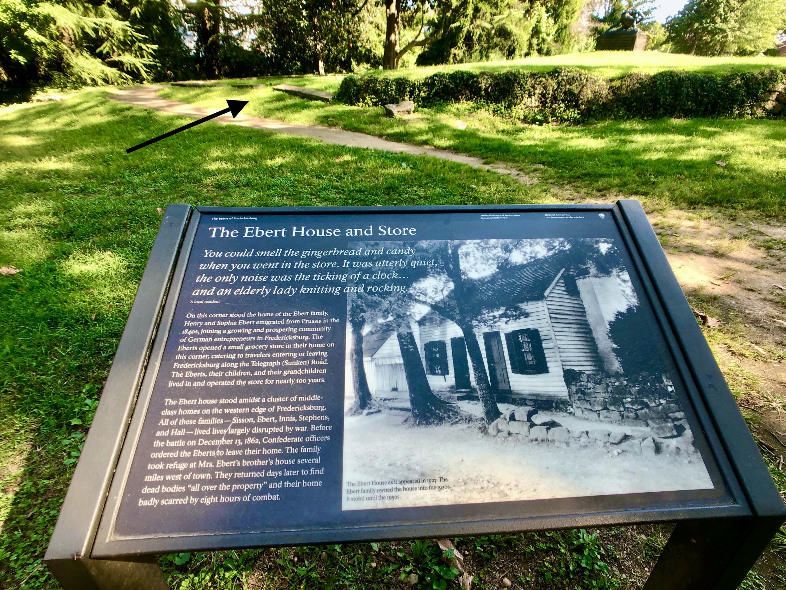
“The Ebert House and Store – On this corner stood the home of the Ebert family. Henry and Sophia Ebert emigrated from Prussia in the 1840s, joining a growing and prospering community of German entrepreneurs in Fredericksburg. The Eberts opened a small grocery store in their home on this corner, catering to travelers entering or leaving Fredericksburg along the Telegraph (Sunken) Road. The Eberts, their children, and their grandchildren lived in and operated the store for nearly 100 years.
You could smell the gingerbread and candy when you went into the store. It was utterly quiet, the only noise was the ticking of a clock…and an elderly lady knitting and rocking
A local resident
The Ebert house stood amidst a cluster of middle-class homes on the western edge of Fredericksburg. All of these families – Sisson, Ebert, Innis, Stephens, and Hall – lived lives largely disrupted by war. Before the battle on December 13, 1862, Confederate officers ordered the Eberts to leave their home. The family took refute at Mrs. Ebert’s brother’s house several miles west of town. They returned days later to find dead bodies “all over the property” and their home badly scarred by eight hours of combat.” – NPS
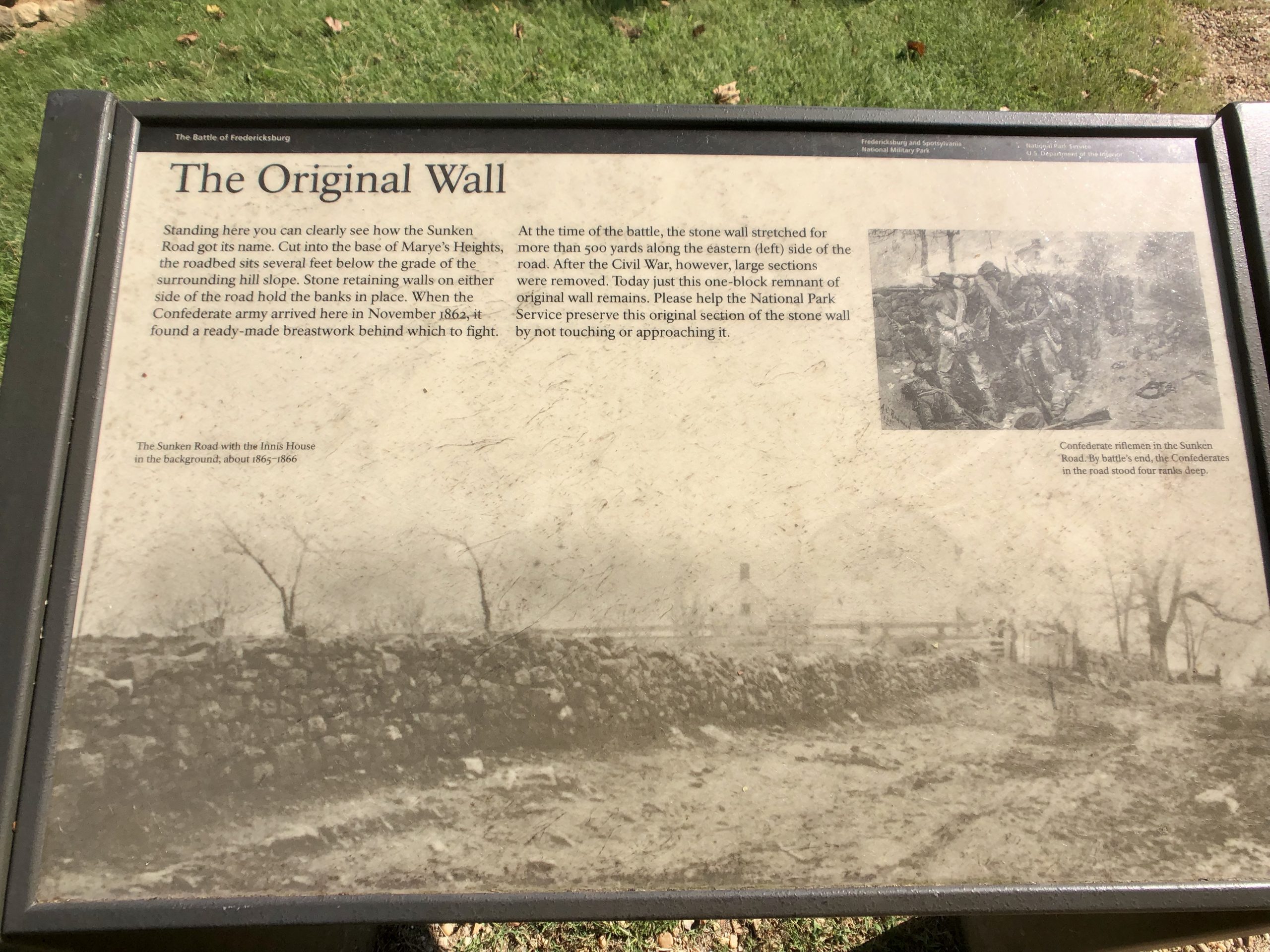
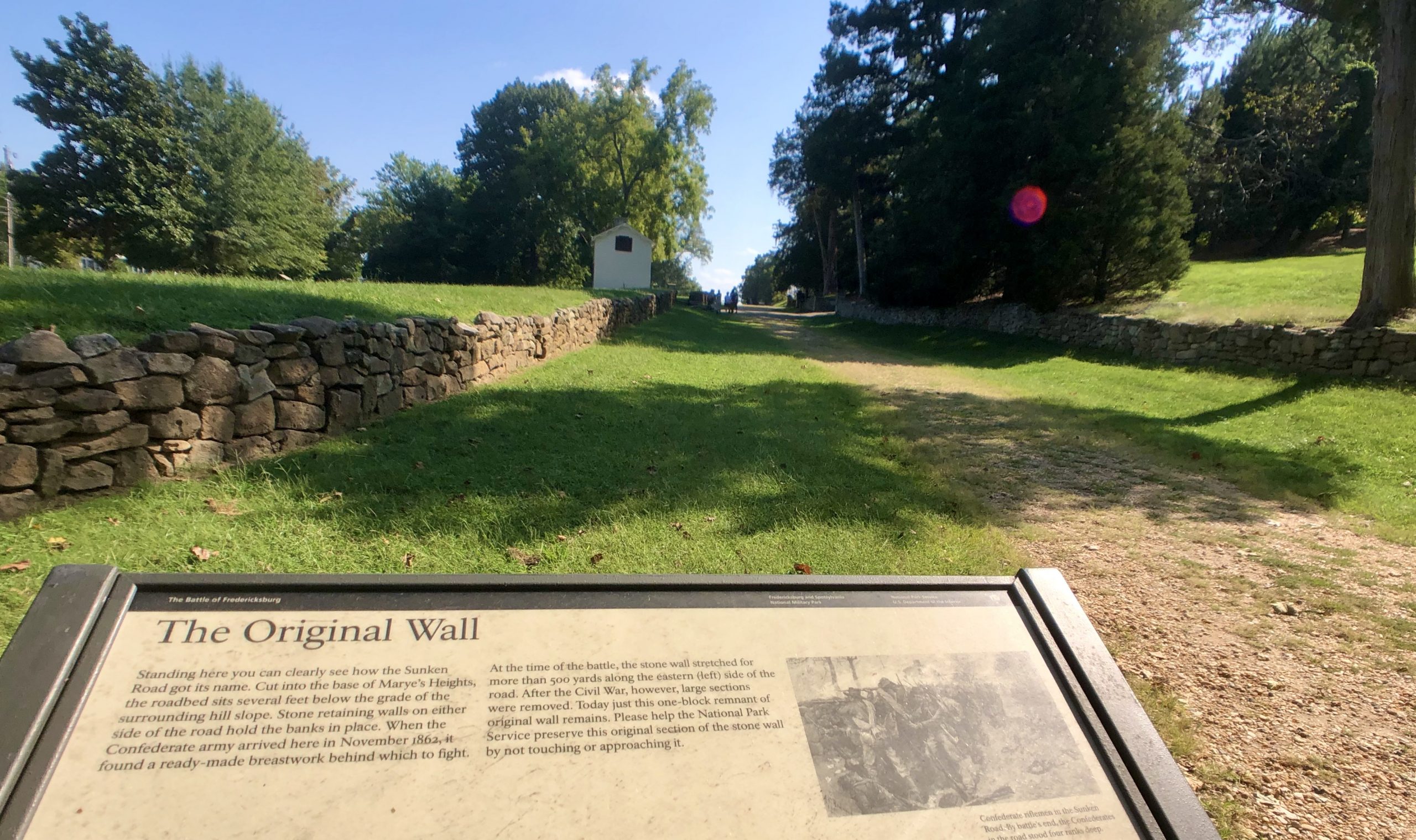
“The Original Wall – Standing here you can clearly see how the Sunken Road got its name. Cut into the base of Marye’s Heights, the roadbed sits several feet below the grade of the surrounding hill slope. Stone retaining walls on either side of the road hold the banks in place. When the Confederate army arrived here in November 1862 it found a ready-made breastwork behind which to fight. At the time of the battle, the stone wall stretched for more than 500 yards along the eastern (left) side of the road. After the Civil War, however, large sections were removed. Today just this one-block remnant of original wall remains.” – NPS
Traveler John T. Trowbridge, September 1865
“The pillars on the porch…were speckled with the marks of bullets. Shells and solid shot had made sad havoc with the walls and the woodwork inside. The windows were shivered, the partitions torn to pieces, and the doors perforated.”
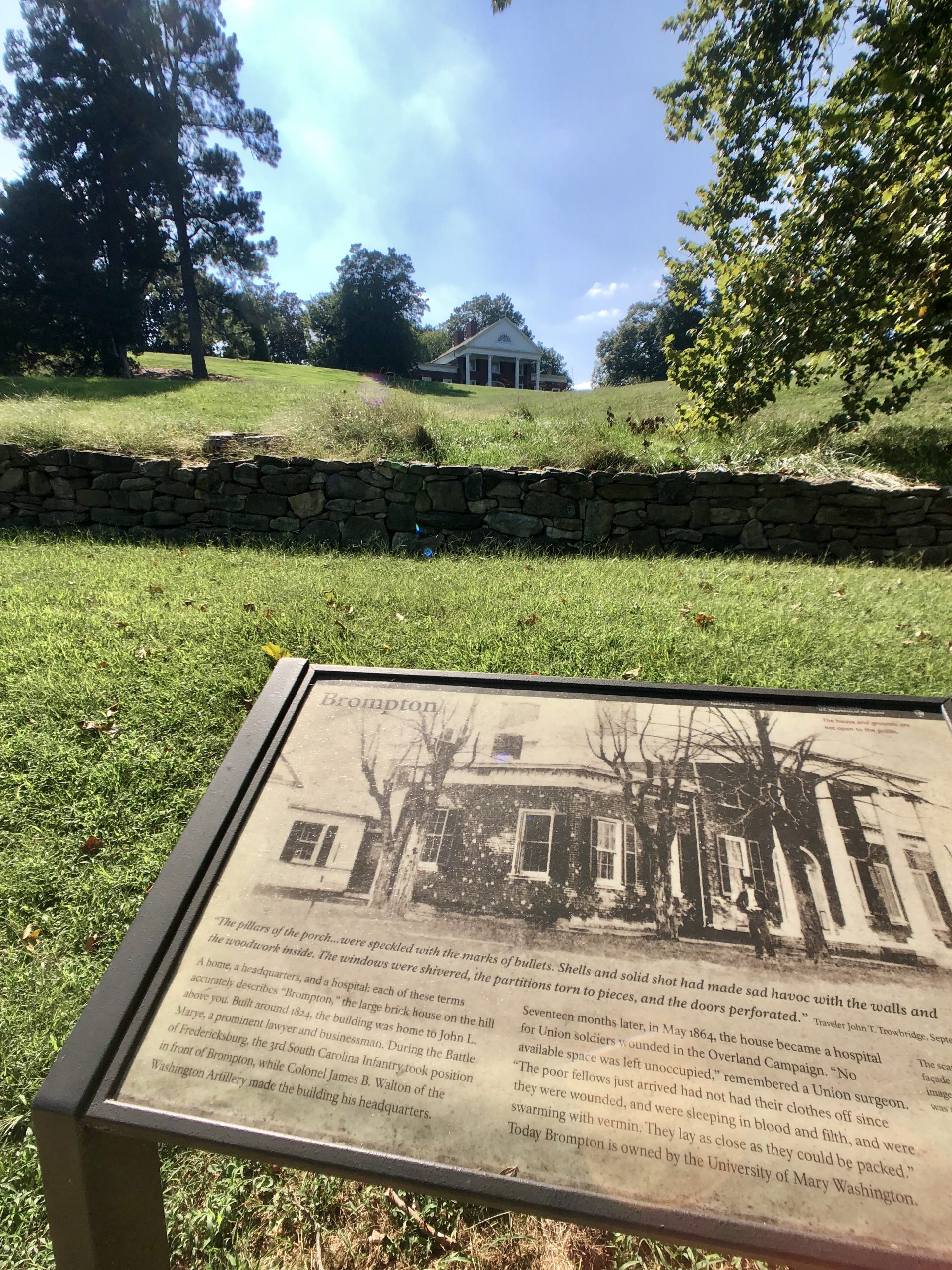
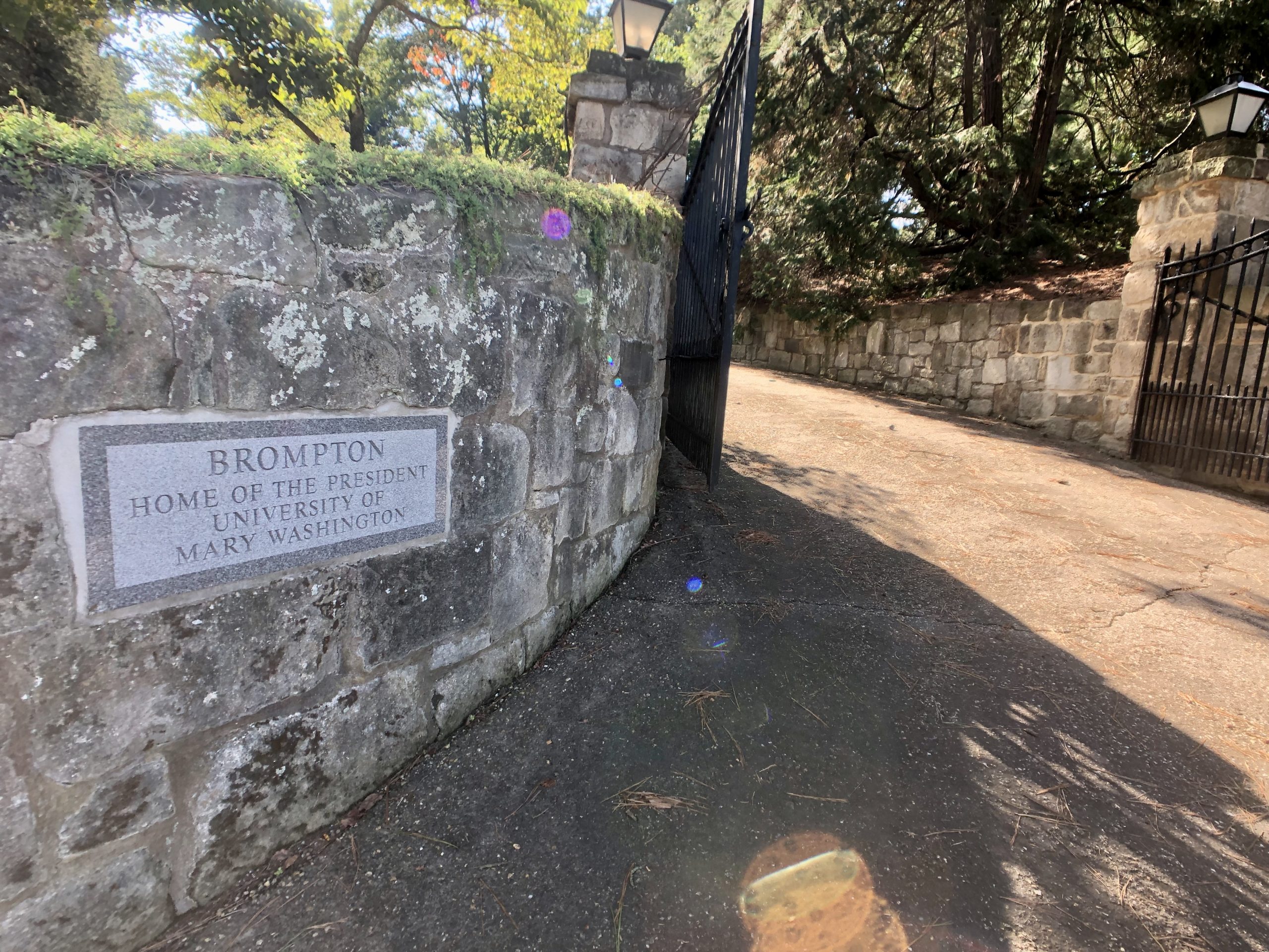
“…”Brompton”, the large brick house on the hill above you. Built around 1824, the building was home to John L. Marye, a prominent lawyer and businessman. During the Battle of Fredericksburg, the 3rd South Carolina Infantry took position in front of Brompton, while Colonel James B. Walton of the Washington Artillery made the building his headquarters. Seventeen months later, in May 1864, the house became a hospital for Union soldiers wounded in the Overland Campaign. “No available space was left unoccupied,” remembered a Union surgeon. “The poor fellows just arrived had not had their clothes off since they were wounded, and were sleeping in blood and filth, they were swarming with vermin. They lay as close as they could be packed.” – NPS
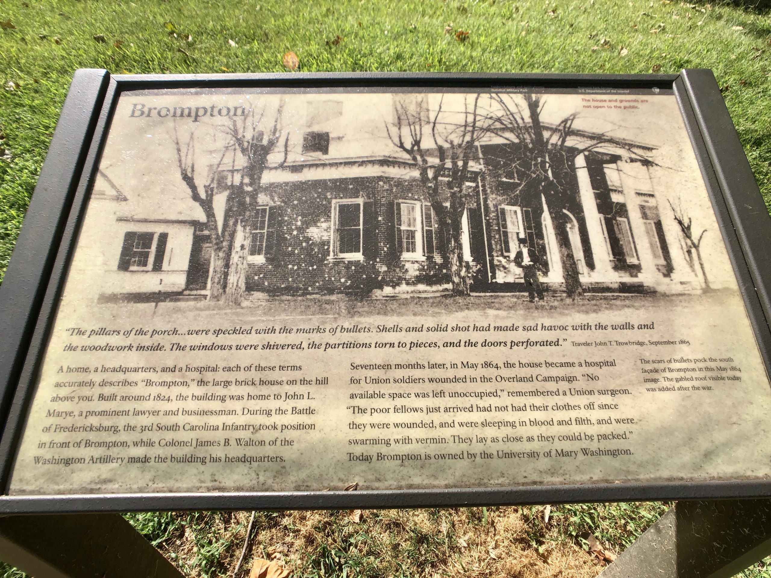
“Today Brompton is owned by the University of Mary Washington.” – NPS
The Sunken Road walking trail continues uphill towards the Fredericksburg National Cemetery.
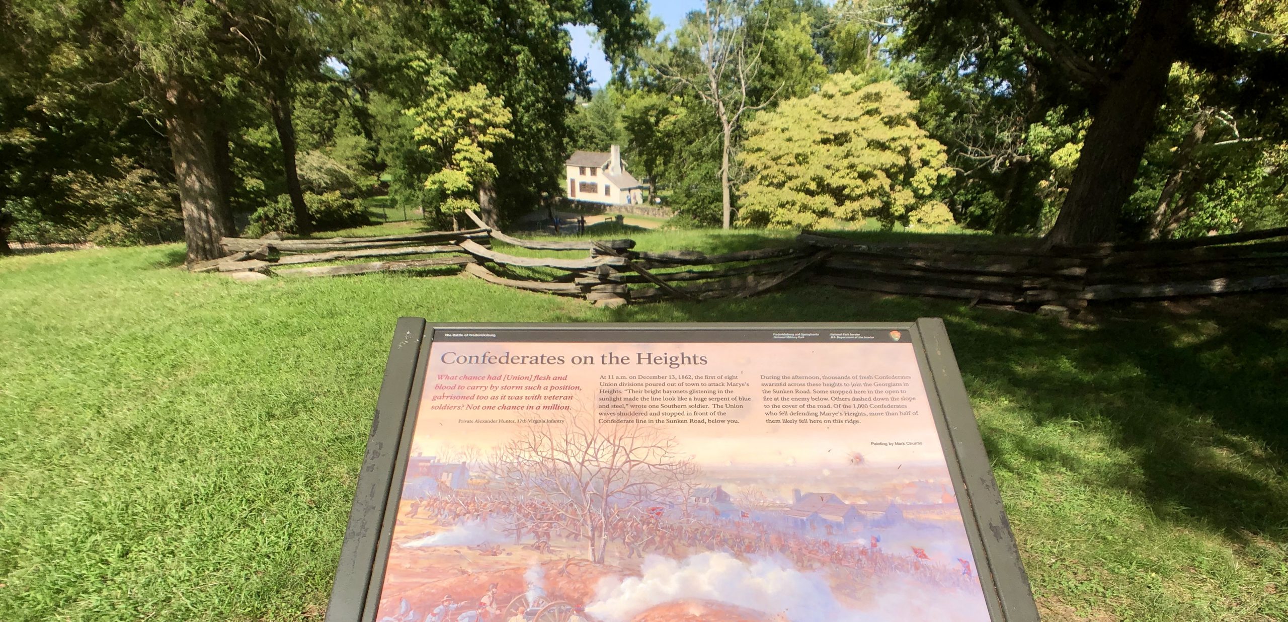
Below you can see the Innes House behind Sunken Road. From up on this hill the Confederate army had a clear advantage. “Of the 1,000 Confederates who fell defending Marye’s Heights, more than half of them likely fell here on this ridge.” – NPS
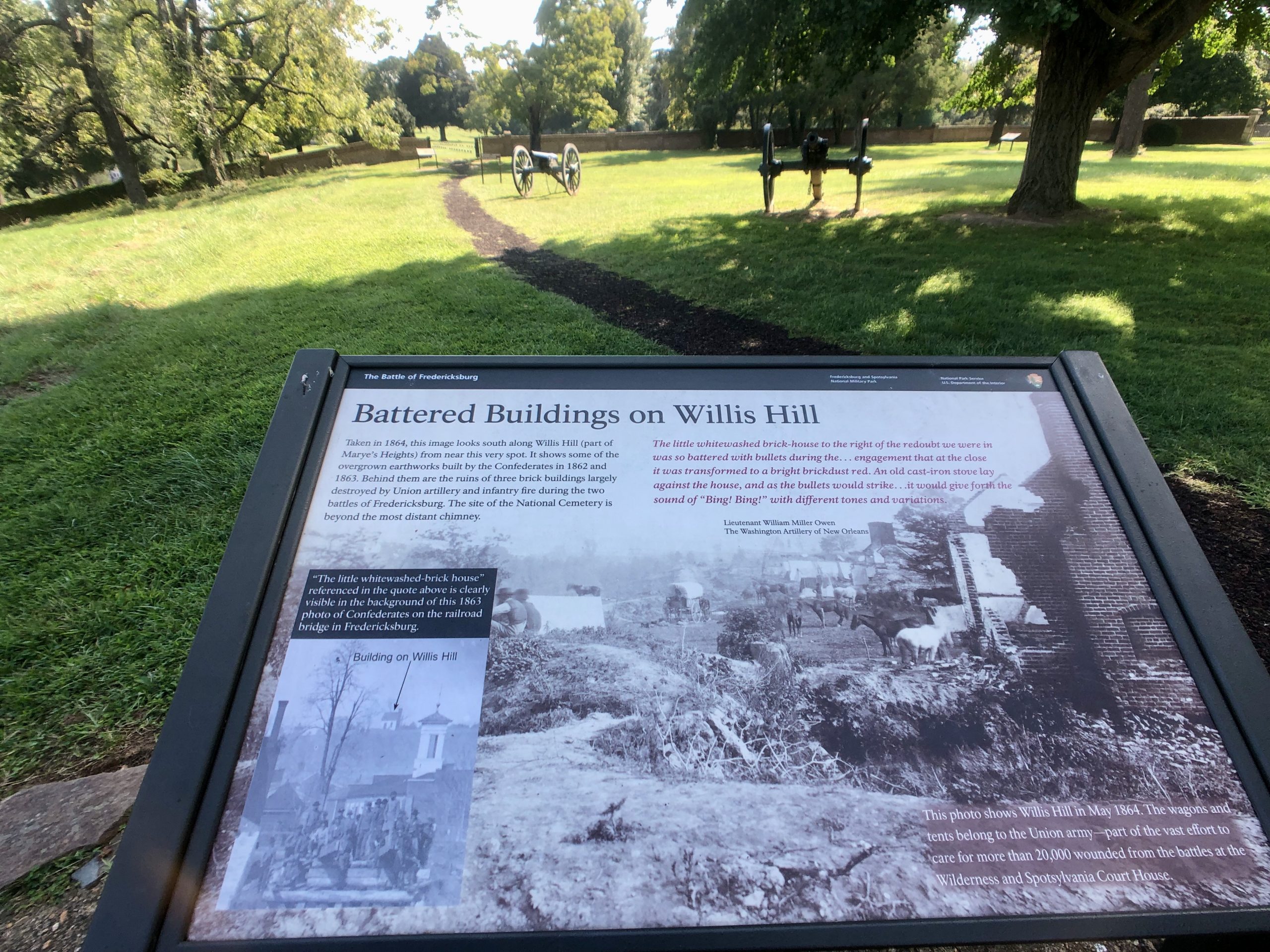
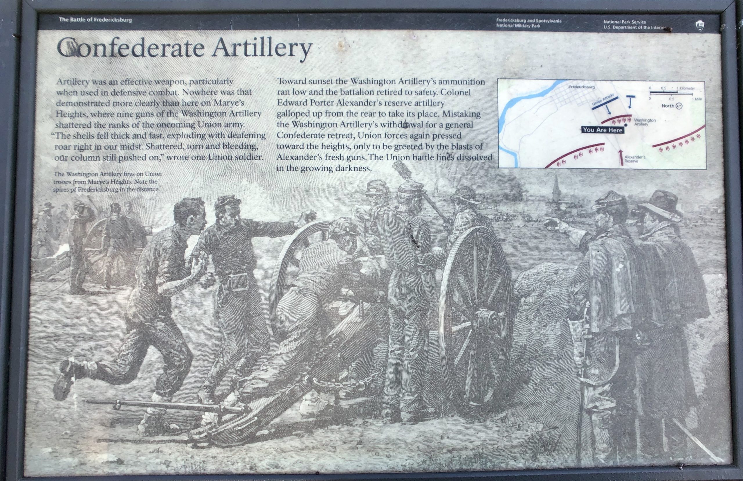
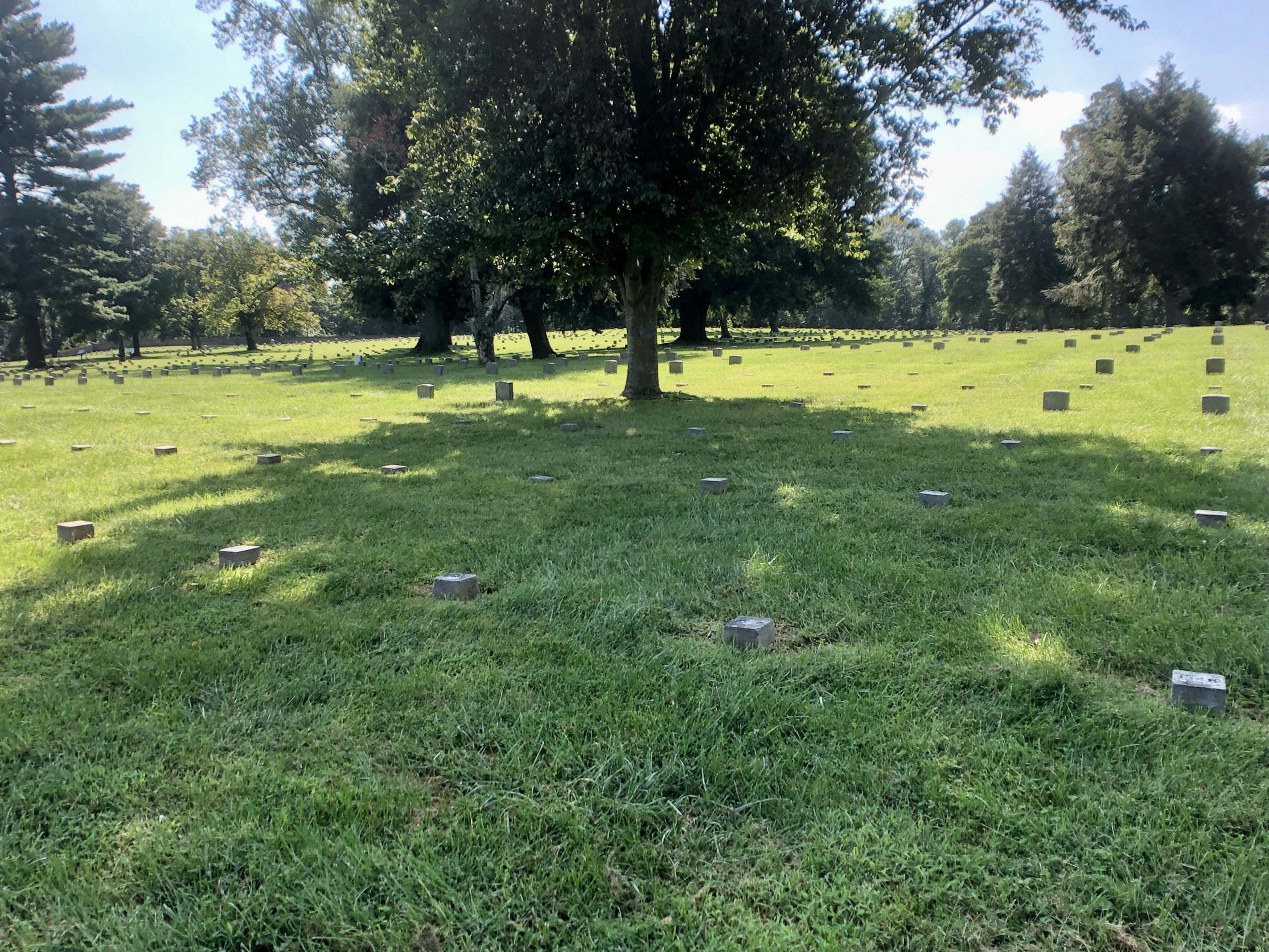
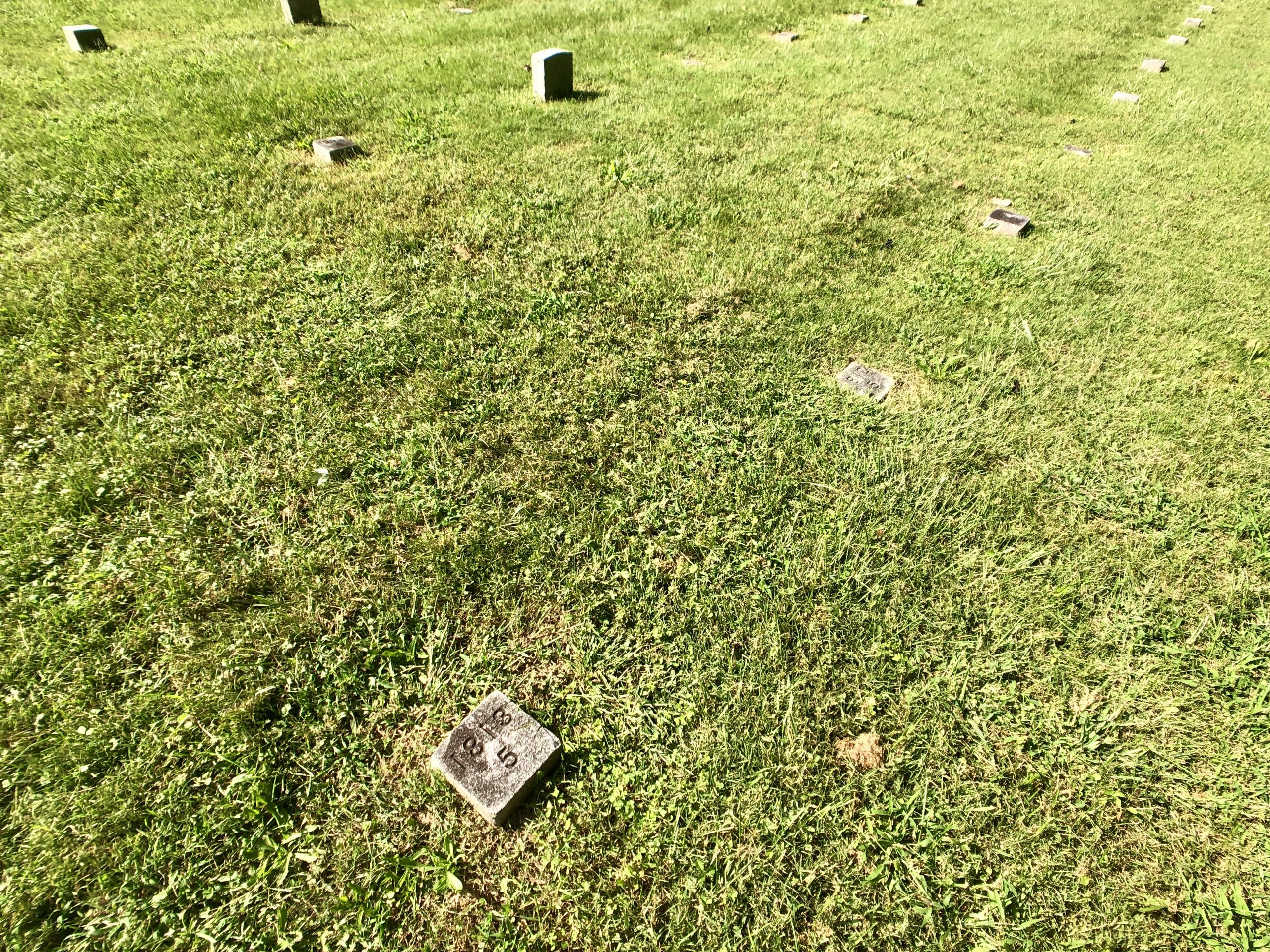
“Fredericksburg National Cemetery – Approximately 20,000 soldiers died in this region during the Civil War, their remains scattered throughout the countryside in shallow, often unmarked, graves. In 1865 Congress established Fredericksburg National Cemetery as a final resting place for Union soldiers who died on area battlefields. Confederate soldiers were buried in cemetery located at Fredericksburg and Spotsylvania Court House.” – NPS
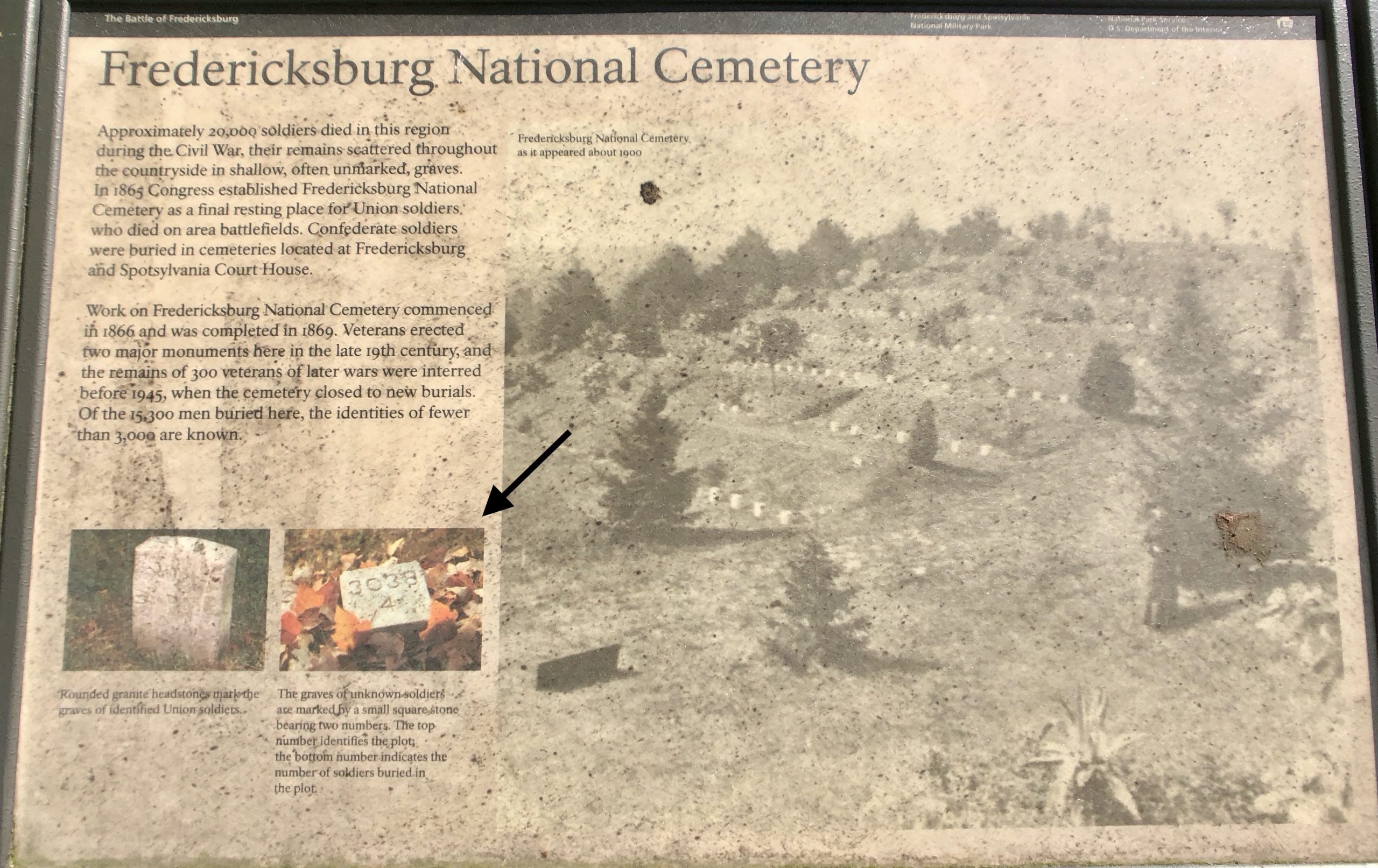
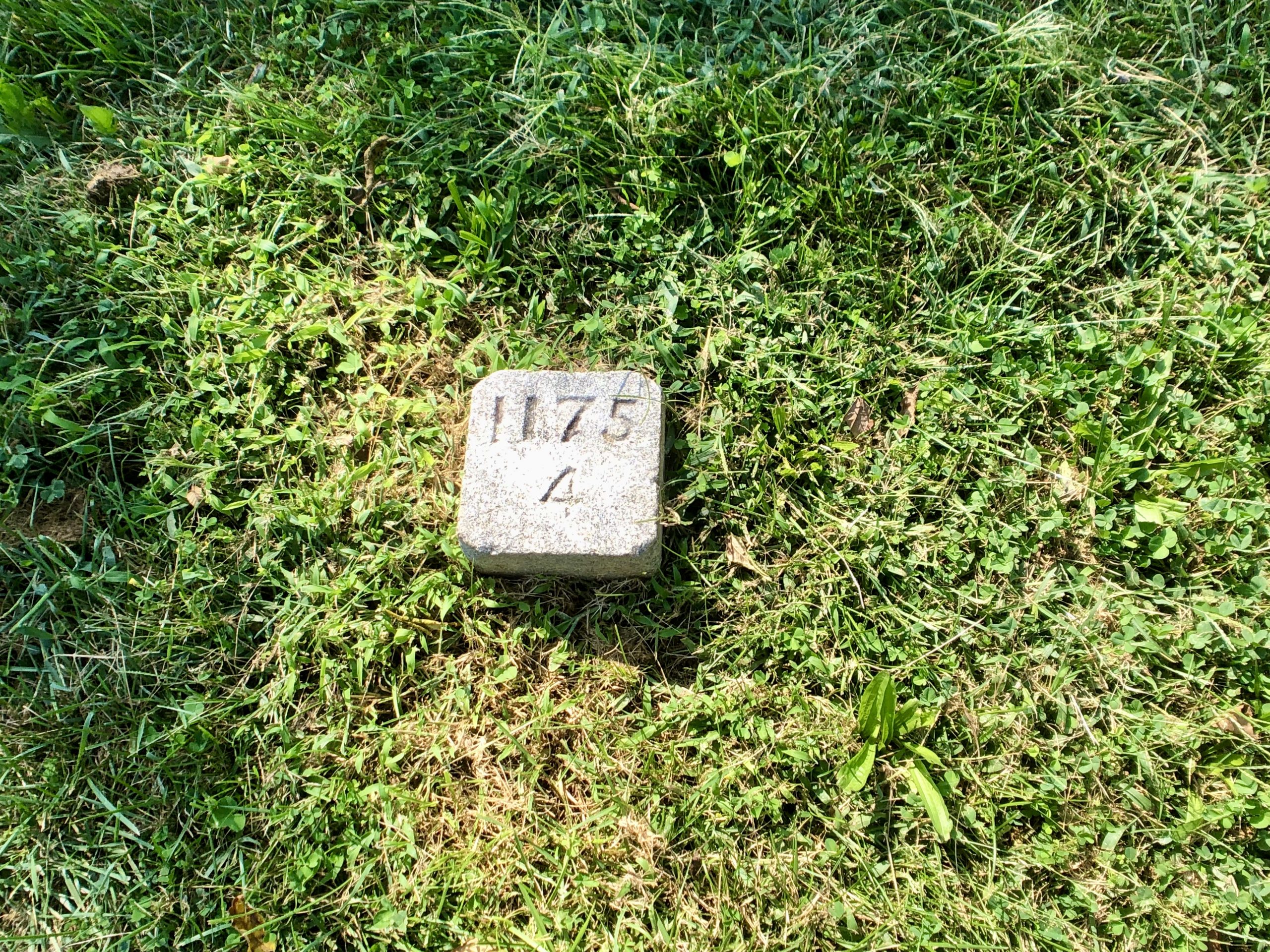
“The graves of unknown soldiers are marked by a small square stone bearing two numbers. The top number identifies the plot, the bottom number indicates the number of soldiers buried in the plot.” – NPS
“Rounded granite headstones mark the graves of identified Union soldiers.” – NPS
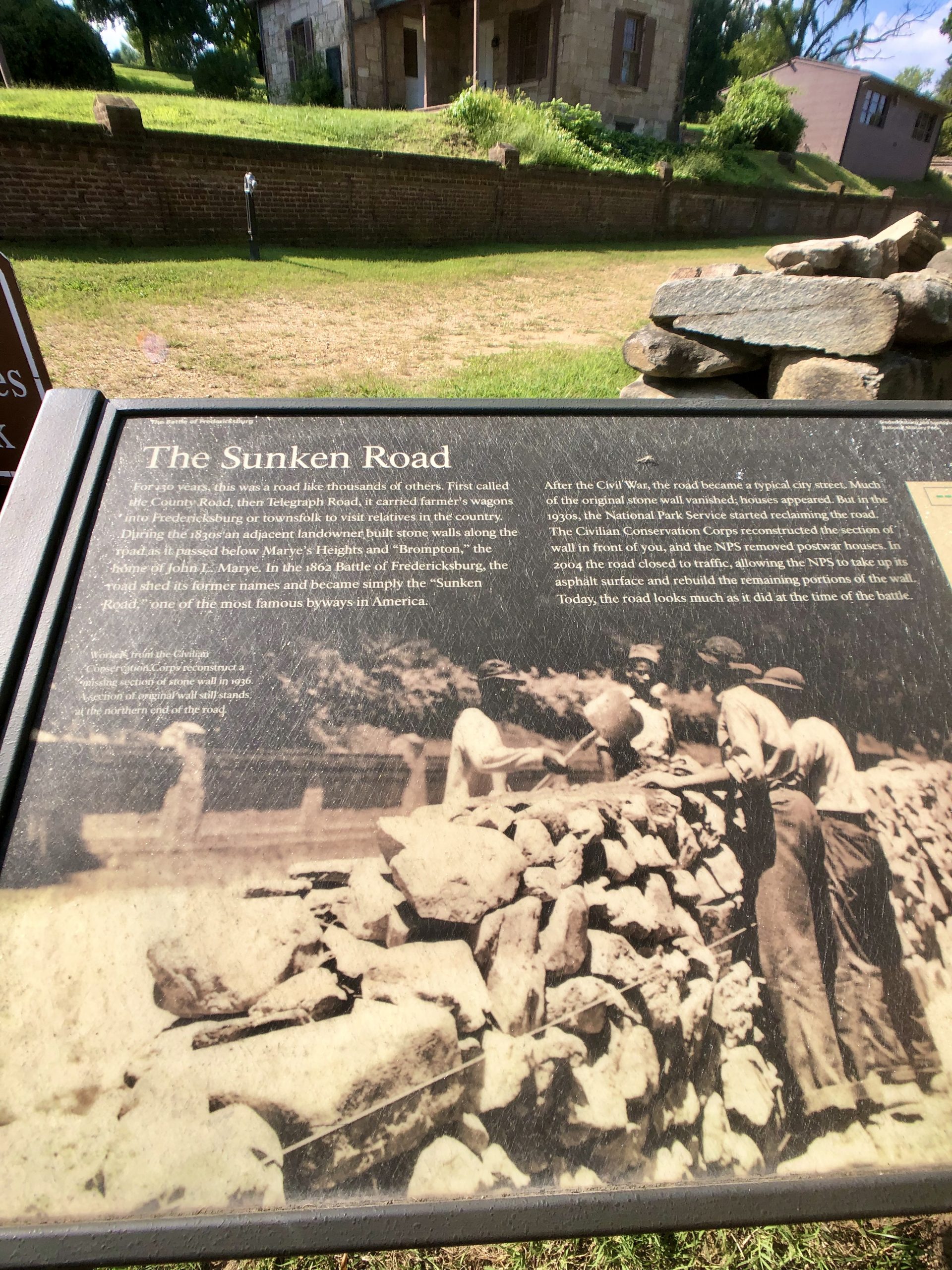
“For 130 years, this was a road like thousands of others. First called the County Road, then Telegraph Road, it carried farmer’s wagons into Fredericksburg or townsfolk to visit relatives in the country. During the 1830s an adjacent landowner built stone walls along the road as it passed below Marye’s Heights and “Brompton,” the road shed former names and became simply the “Sunken Road,” one of the most famous byways in America.
After the Civil War, the road became a typical city street. Much of the original stone wall vanished; houses appeared. But in the 1930s, the National Park Service started reclaiming the road. The Civilian Conservation Corps reconstructed the section of the wall in front of you (see picture below), and the NPS removed postwar houses. In 2004 the road closed to traffic, allowing the NPS to take up its asphalt surface and rebuild the remaining portions of the wall. Today, the road looks much as it did in the time of the battle.” – NPS
After several hours walking the Sunken Road and reading about the history of this battlefield, we headed back onto Highway 1 and continued our trip south.

Guten Morgen!
Definitely a very interesting and important part of our country’s history! Great pictures and a quality reunion with your family, June and Gene.
Happy travels,
Rod and Sasha